Allt y Gwreiddyn

Wood, Forest in Cardiganshire

Wales

Allt y Gwreiddyn

Posh Paws Dog grooming venture at Goginan
Posh Paws Credit: Eirian Evans

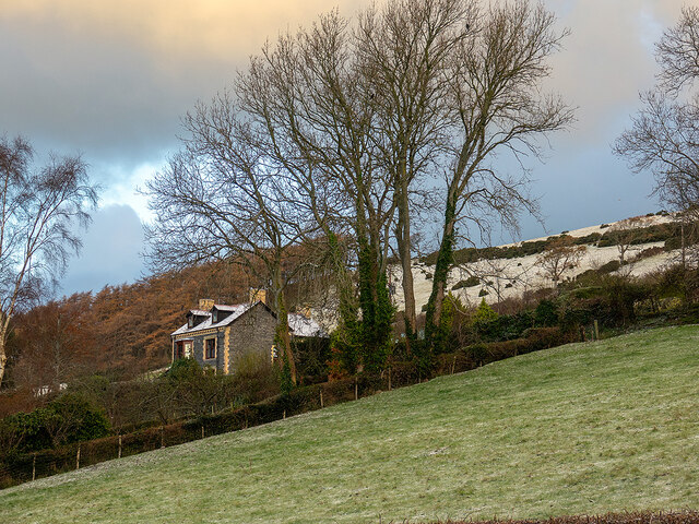
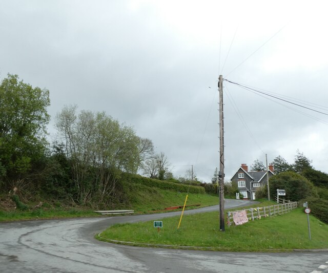
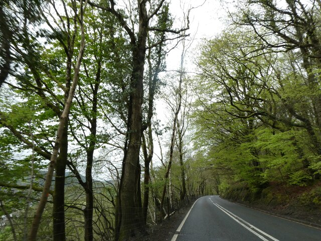
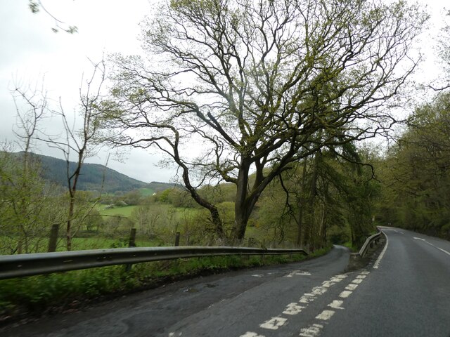
Allt y Gwreiddyn, located in Cardiganshire, is a picturesque wood or forest that spans across a vast area. It is renowned for its natural beauty and is a popular destination for nature enthusiasts and hikers. The woodland is situated near the village of Pontrhydfendigaid, surrounded by rolling hills and stunning landscapes.

Allt y Gwreiddyn is home to a diverse range of flora and fauna, making it an important habitat for various species. The forest boasts a mixture of deciduous and coniferous trees, including oak, birch, beech, and pine. This variety of trees provides a rich tapestry of colors throughout the seasons, attracting visitors during spring and autumn when the woodland is at its most vibrant.

The forest is crisscrossed with a network of walking trails, allowing visitors to explore the area at their own pace. These trails offer stunning views of the surrounding countryside, as well as opportunities to spot wildlife such as deer, foxes, and a variety of bird species. Additionally, there are designated picnic areas and viewpoints where visitors can relax and soak in the tranquil atmosphere.

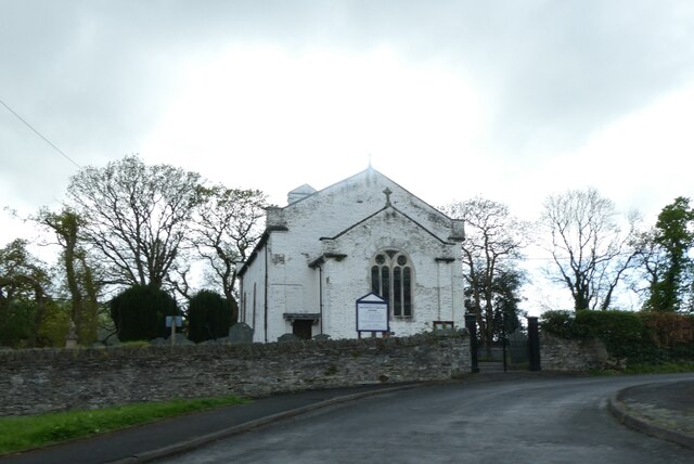
Allt y Gwreiddyn also has a rich cultural history, with evidence of ancient settlements and burial mounds scattered throughout the woodland. Archaeological finds suggest that the area has been inhabited for thousands of years, adding a sense of intrigue and mystique to the forest.

Overall, Allt y Gwreiddyn in Cardiganshire is a captivating wood, offering visitors a chance to immerse themselves in nature, explore its diverse ecosystems, and connect with the rich history of the area.

If you have any feedback on the listing, please let us know in the comments section below.

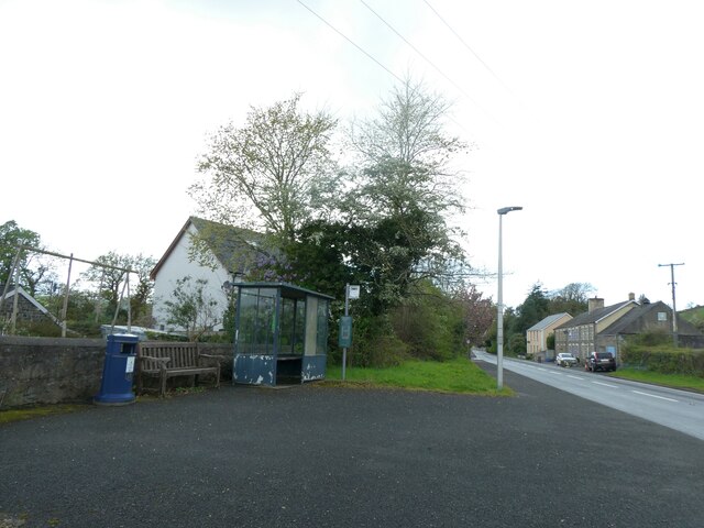
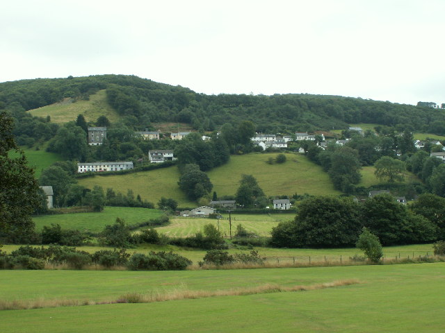
Allt y Gwreiddyn Images

Images are sourced within 2km of 52.404581/-3.9514441 or Grid Reference SN6780. Thanks to Geograph Open Source API. All images are credited.

Posh Paws Dog grooming venture at Goginan
Posh Paws
Dog grooming venture at Goginan
Pretty in pink! Tafarn y Maes, Capel Bangor.
Pretty in pink!
Tafarn y Maes, Capel Bangor.
Eglwys Dewi Sant/St David's Church All services are bilingual here
Eglwys Dewi Sant/St David's Church
All services are bilingual here
Neuadd Penllwyn, Capel Bangor Village hall
Neuadd Penllwyn, Capel Bangor
Village hall
Tynllidiart Arms and attached Bragdy Gwynant The brewhouse, in the blue shed, laid claim to being the smallest brewery in the world. Both brewery and pub were closed at this time.
Tynllidiart Arms and attached Bragdy Gwynant
The brewhouse, in the blue shed, laid claim to being the smallest brewery in the world. Both brewery and pub were closed at this time.
Allt Ty-cam [hill] With Neuadd Parc Farm visible, bottom left. Viewed from Aberffrwd.
Allt Ty-cam [hill]
With Neuadd Parc Farm visible, bottom left. Viewed from Aberffrwd.
Relaxing at the Fron Young bulls, possibly steers, relaxing in the field at Fron Farm, Capel Bangor.
Relaxing at the Fron
Young bulls, possibly steers, relaxing in the field at Fron Farm, Capel Bangor.
Hay bales advertising the National Eisteddfod The 2022 event was held at Tregaron, July 30 - 6 August.
Hay bales advertising the National Eisteddfod
The 2022 event was held at Tregaron, July 30 - 6 August.
House on the hill in Capel Bangor Caught in evening sunshine.
House on the hill in Capel Bangor
Caught in evening sunshine.
House on the Hill Swyn Rheidol, Capel Bangor. With a smattering of snow in the fields behind.
House on the Hill
Swyn Rheidol, Capel Bangor. With a smattering of snow in the fields behind.
A quiet time on the A44 - New Year's Day With signs for the Cwm Rheidol Butterfly House being just visible.
A quiet time on the A44 - New Year's Day
With signs for the Cwm Rheidol Butterfly House being just visible.
New house at Fron Farm A self-build now almost complete.
New house at Fron Farm
A self-build now almost complete.
Bullocks at the Fron
Side road off A44 in Maes-bangor The A44 is a major road in the United Kingdom that runs for 155 miles from Oxford in southern England to Aberystwyth in west Wales.
<span class="nowrap"><a title="http://www.sabre-roads.org.uk/wiki/index.php?title=A44" rel="nofollow ugc noopener" href="http://www.sabre-roads.org.uk/wiki/index.php?title=A44">Link</a><img style="margin-left:2px;" alt="External link" title="External link - shift click to open in new window" src="https://s1.geograph.org.uk/img/external.png" width="10" height="10"/></span>  SABRE
<span class="nowrap"><a title="https://en.wikipedia.org/wiki/A44_road" rel="nofollow ugc noopener" href="https://en.wikipedia.org/wiki/A44_road">Link</a><img style="margin-left:2px;" alt="External link" title="External link - shift click to open in new window" src="https://s1.geograph.org.uk/img/external.png" width="10" height="10"/></span>  Wikipedia
Side road off A44 in Maes-bangor
The A44 is a major road in the United Kingdom that runs for 155 miles from Oxford in southern England to Aberystwyth in west Wales. LinkExternal link SABRE LinkExternal link Wikipedia
A44 in woodland west of Goginan The A44 is a major road in the United Kingdom that runs for 155 miles from Oxford in southern England to Aberystwyth in west Wales.
<span class="nowrap"><a title="http://www.sabre-roads.org.uk/wiki/index.php?title=A44" rel="nofollow ugc noopener" href="http://www.sabre-roads.org.uk/wiki/index.php?title=A44">Link</a><img style="margin-left:2px;" alt="External link" title="External link - shift click to open in new window" src="https://s1.geograph.org.uk/img/external.png" width="10" height="10"/></span>  SABRE
<span class="nowrap"><a title="https://en.wikipedia.org/wiki/A44_road" rel="nofollow ugc noopener" href="https://en.wikipedia.org/wiki/A44_road">Link</a><img style="margin-left:2px;" alt="External link" title="External link - shift click to open in new window" src="https://s1.geograph.org.uk/img/external.png" width="10" height="10"/></span>  Wikipedia
A44 in woodland west of Goginan
The A44 is a major road in the United Kingdom that runs for 155 miles from Oxford in southern England to Aberystwyth in west Wales. LinkExternal link SABRE LinkExternal link Wikipedia
This way to Penbryn and the valley; side road from A44 The A44 is a major road in the United Kingdom that runs for 155 miles from Oxford in southern England to Aberystwyth in west Wales.
<span class="nowrap"><a title="http://www.sabre-roads.org.uk/wiki/index.php?title=A44" rel="nofollow ugc noopener" href="http://www.sabre-roads.org.uk/wiki/index.php?title=A44">Link</a><img style="margin-left:2px;" alt="External link" title="External link - shift click to open in new window" src="https://s1.geograph.org.uk/img/external.png" width="10" height="10"/></span>  SABRE
<span class="nowrap"><a title="https://en.wikipedia.org/wiki/A44_road" rel="nofollow ugc noopener" href="https://en.wikipedia.org/wiki/A44_road">Link</a><img style="margin-left:2px;" alt="External link" title="External link - shift click to open in new window" src="https://s1.geograph.org.uk/img/external.png" width="10" height="10"/></span>  Wikipedia
This way to Penbryn and the valley; side road from A44
The A44 is a major road in the United Kingdom that runs for 155 miles from Oxford in southern England to Aberystwyth in west Wales. LinkExternal link SABRE LinkExternal link Wikipedia
St David's church, Capel Bangor
Bus shelter and seat, Capel Bangor
Show me another place!

Allt y Gwreiddyn is located at Grid Ref: SN6780 (Lat: 52.404581, Lng: -3.9514441)

Unitary Authority: Ceredigion

Police Authority: Dyfed Powys

What 3 Words

///synthetic.grape.obviously. Near Bow Street, Ceredigion

Nearby Locations

Allt y Gwreiddyn

Related Wikis

Melindwr

Melindwr is a community in the county of Ceredigion, Wales, to the east of Aberystwyth and is 71.6 miles (115.1 km) from Cardiff and 173.8 miles (279.7...

Capel Bangor

Capel Bangor (Welsh: Penllwyn) is a small village in Ceredigion, Wales, approximately 5 miles (8.0 km) east of Aberystwyth. The A44 road and the seasonal...

Maes-bangor

Maes-bangor is a hamlet in the community of Melindwr, Ceredigion, Wales, which is 72.2 miles (116.1 km) from Cardiff and 174.9 miles (281.4 km) from London...

Dol-y-pandy

Dol-y-pandy is a hamlet in the community of Melindwr, Ceredigion, Wales, which is 72.1 miles (116 km) from Cardiff and 174.9 miles (281.5 km) from London...

Afon Rheidol

The Afon Rheidol ("river Rheidol") (Welsh pronunciation: [ˈr̥ei̯dɔl]) is a river in Ceredigion, Wales, 19 miles (31 km) in length. The source is Plynlimon...

Goginan

Goginan is a small village in Ceredigion, about 7 miles outside Aberystwyth on the A44 between Ponterwyd and Capel Bangor. The Afon Melindwr runs through...

Dollwen

Dollwen is a hamlet in the community of Melindwr, Ceredigion, Wales, which is 72.1 miles (116 km) from Cardiff and 173.6 miles (279.4 km) from London...

Aberffrwd, Ceredigion

Aberffrwd is a village in the Welsh principal area of Ceredigion. It has a railway station on the narrow-gauge Vale of Rheidol Railway, which was operated...

Nearby Amenities

Located within 500m of 52.404581,-3.9514441
Place: farm
Lat/Long: 52.407245/-3.9481045
The data included in this document is from www.openstreetmap.org. The data is made available under ODbL.

Have you been to Allt y Gwreiddyn?

Leave your review of Allt y Gwreiddyn below (or comments, questions and feedback).