Allt Dinbeth
Wood, Forest in Carmarthenshire
Wales
Allt Dinbeth
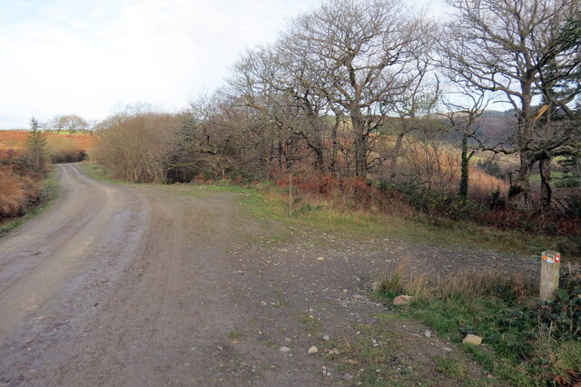
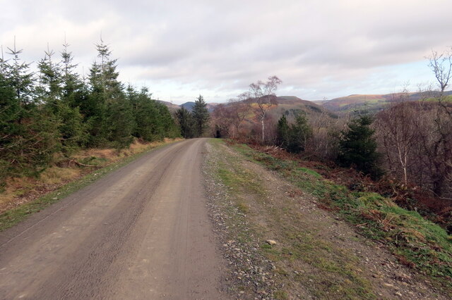
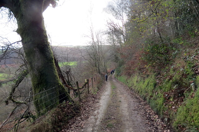
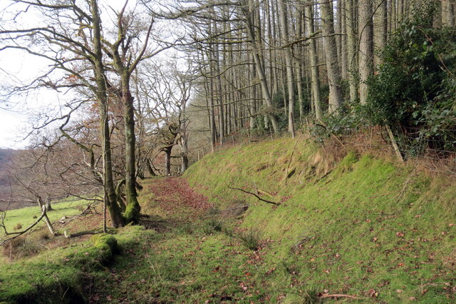
Allt Dinbeth is a picturesque wood located in Carmarthenshire, Wales. Nestled within the lush countryside, it is a haven for nature lovers and outdoor enthusiasts. The wood covers an area of approximately 100 hectares and is known for its diverse range of flora and fauna.
The dominant tree species found in Allt Dinbeth include oak, beech, and birch, creating a dense and vibrant forest canopy. The woodland floor is covered in a rich carpet of wildflowers, including bluebells, primroses, and wood anemones, which add a burst of color during the spring months.
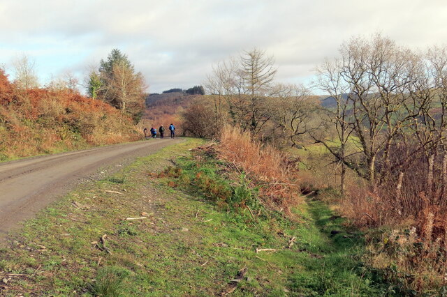
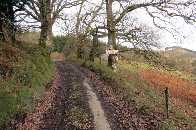
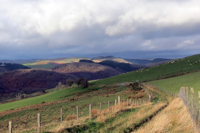
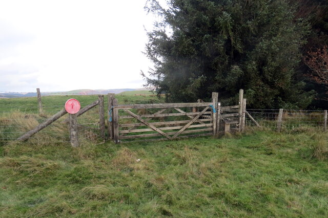
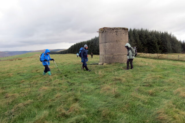
Several walking trails wind their way through the wood, offering visitors the opportunity to explore and immerse themselves in the tranquil surroundings. These trails vary in length and difficulty, catering to all abilities. Along the way, walkers may encounter a variety of wildlife, such as deer, foxes, badgers, and a wide array of bird species.
Allt Dinbeth is also home to a small river, which meanders through the wood, providing a peaceful backdrop and a source of water for the local wildlife. This river offers a serene spot for visitors to relax and enjoy the natural beauty of the surroundings.
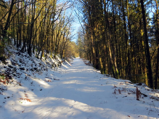
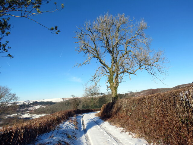
The wood is open to the public throughout the year, allowing visitors to experience its ever-changing landscape during different seasons. It is a popular destination for nature enthusiasts, hikers, and families looking for a peaceful retreat in the heart of Carmarthenshire.
If you have any feedback on the listing, please let us know in the comments section below.
Allt Dinbeth Images
Images are sourced within 2km of 52.067319/-3.9363954 or Grid Reference SN6742. Thanks to Geograph Open Source API. All images are credited.
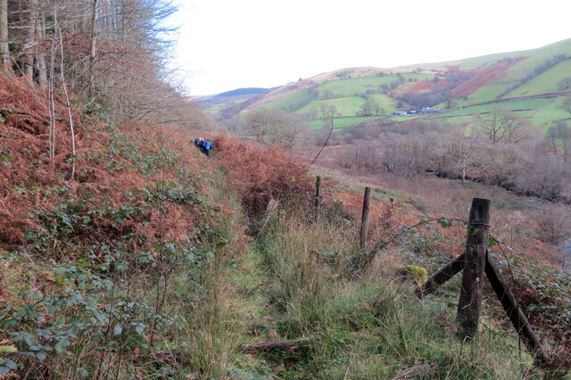
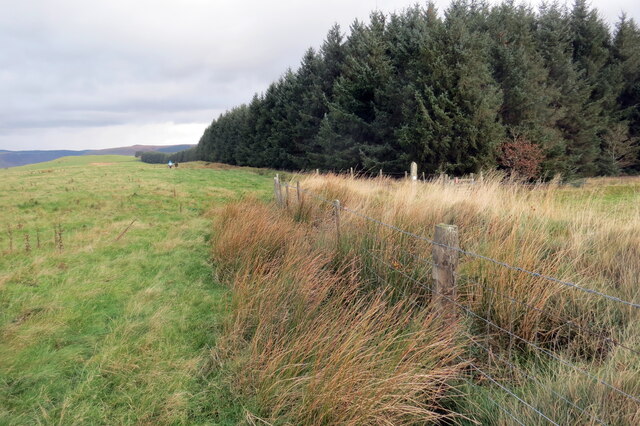
![Llwybr uwchben Caio / Path above Caio Llwybr cyhoeddus uwchben Caio ac yn sy'n mynd i gyfeiriad Cwm Cothi.
A public footpath above the village of Caio and heading towards Cwm Cothi (trans. [river] Cothi valley).](https://s1.geograph.org.uk/geophotos/07/38/65/7386501_ee6ae911.jpg)
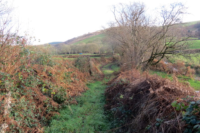
![Tuag at Gwm Cothi / Towards Cwm Cothi Llwybr troed cyhoeddus yn mynd i lawr y waered tuag ay Gwm Cothi.
A public footpath descending towards Cwm Cothi (trans. [river] Cothi valley).](https://s3.geograph.org.uk/geophotos/07/38/65/7386503_933f9711.jpg)
Allt Dinbeth is located at Grid Ref: SN6742 (Lat: 52.067319, Lng: -3.9363954)
Unitary Authority: Carmarthenshire
Police Authority: Dyfed Powys
What 3 Words
///change.global.interrupt. Near Llansawel, Carmarthenshire
Nearby Locations
Related Wikis

Cynwyl Gaeo
Cynwyl Gaeo is a parish and community located in rural Carmarthenshire, Wales, near the boundary with Ceredigion, in the upper Cothi valley about halfway...

Dolaucothi Estate
The Dolaucothi Estate (also Dolaucothy) is situated about 1 mile (1.6 km) north-west of the village of Caio up the Cothi Valley in the community of Cynwyl...

Dolaucothi Gold Mines
The Dolaucothi Gold Mines (pronounced [ˌdɔlaiˈkɔθɪ]; Welsh: Mwynfeydd Aur Dolaucothi) (grid reference SN662403), also known as the Ogofau Gold Mine, are...

Pumsaint
Pumsaint is a village in Carmarthenshire, Wales, halfway between Llanwrda and Lampeter on the A482 in the valley of the Afon Cothi. It forms part of the...

Caio, Carmarthenshire
Caio (or Caeo) is a village in the county of Carmarthenshire, south-west Wales, sited near to the Dolaucothi Gold Mines. == Location == It is located between...

Afon Twrch, Carmarthenshire
The Afon Twrch is a short river in Carmarthenshire, West Wales. It joins the River Cothi (itself a left-bank tributary of the River Towy) at the village...

Luentinum
Luentinum or Loventium refers to the Roman fort at Pumsaint, Carmarthenshire. The 1.9 hectares (4.7 acres) site lies either side of the A482 in Pumsaint...

Ffarmers
Ffarmers is a village near Lampeter, in the north of Carmarthenshire, Wales. It was named after the old "Farmers' Arms" public house, which is now closed...
Nearby Amenities
Located within 500m of 52.067319,-3.9363954Have you been to Allt Dinbeth?
Leave your review of Allt Dinbeth below (or comments, questions and feedback).