Coed Penyglannau
Wood, Forest in Merionethshire
Wales
Coed Penyglannau
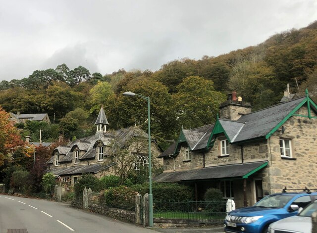
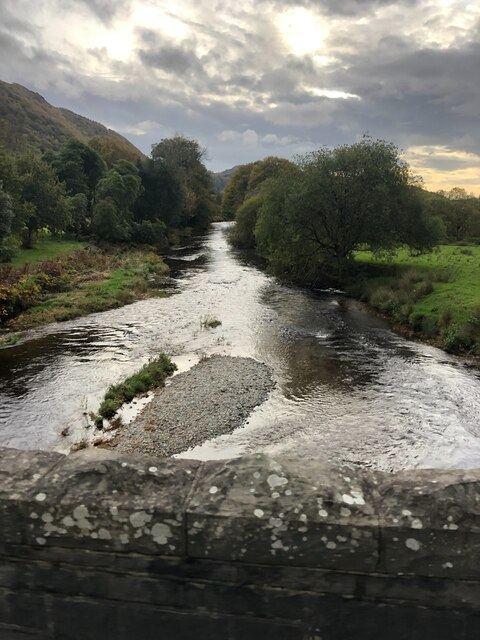
Coed Penyglannau is a woodland area located in the historic county of Merionethshire, Wales. Situated near the village of Llanfachreth, it is renowned for its natural beauty and rich biodiversity. Covering an area of approximately 200 acres, this ancient forest is a haven for wildlife and offers visitors a tranquil escape from the hustle and bustle of modern life.
The woodland is predominantly composed of native tree species such as oak, ash, beech, and birch, with some coniferous trees interspersed throughout. The dense canopy provides a shady and cool environment, making it an ideal habitat for a variety of flora and fauna. Bluebells, wood sorrel, and wild garlic carpet the forest floor in the spring, creating a stunning display of color and fragrance.
Coed Penyglannau is home to a diverse range of wildlife. Bird enthusiasts can spot species such as woodpeckers, nuthatches, and tawny owls, while lucky visitors may even catch a glimpse of red squirrels darting through the trees. The forest is also inhabited by various mammals, including badgers, foxes, and bats, which can be observed at dusk.
The woodland offers a network of well-maintained footpaths, enabling visitors to explore its captivating beauty at their own pace. Picnic areas and benches are strategically placed throughout the forest, providing perfect spots to relax and soak in the peaceful atmosphere. Coed Penyglannau truly offers a delightful experience for nature lovers and those seeking a tranquil retreat in the heart of the Welsh countryside.
If you have any feedback on the listing, please let us know in the comments section below.
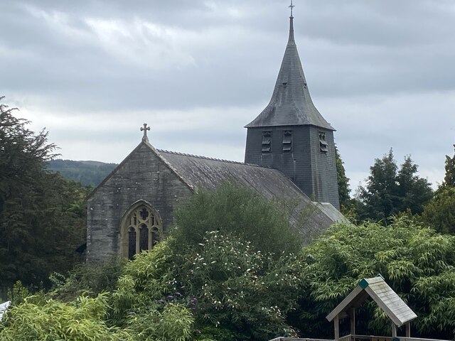
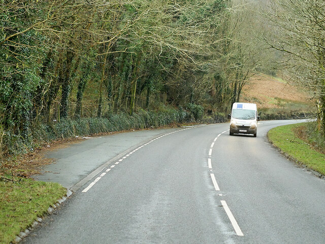
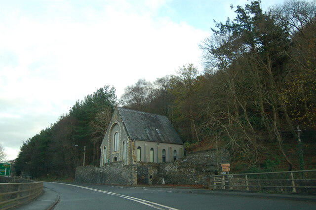
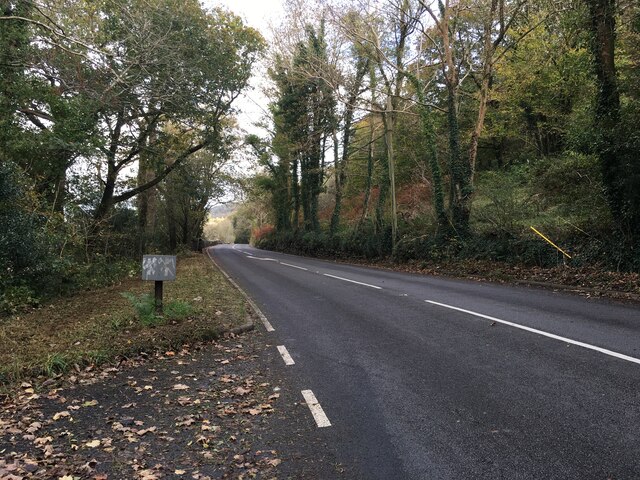
Coed Penyglannau Images
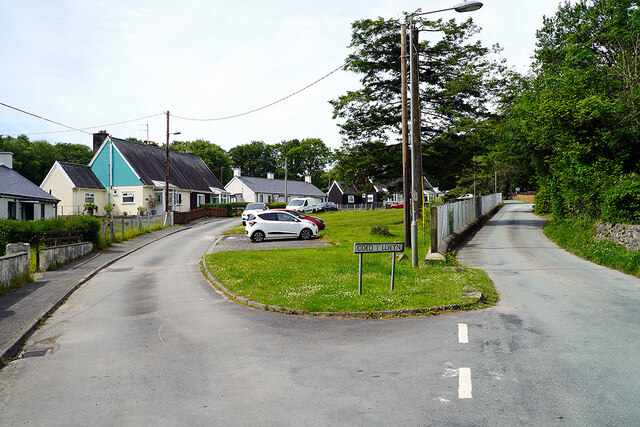
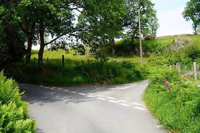
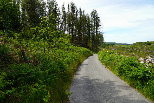
Images are sourced within 2km of 52.932049/-3.9732364 or Grid Reference SH6739. Thanks to Geograph Open Source API. All images are credited.
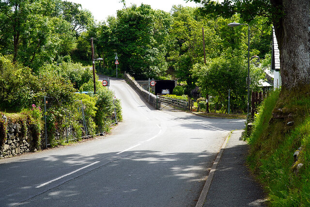
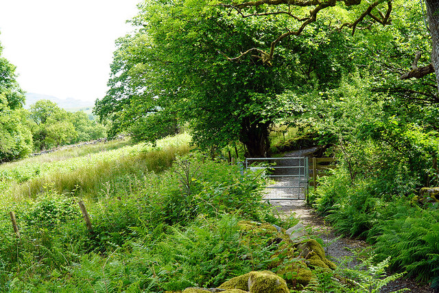
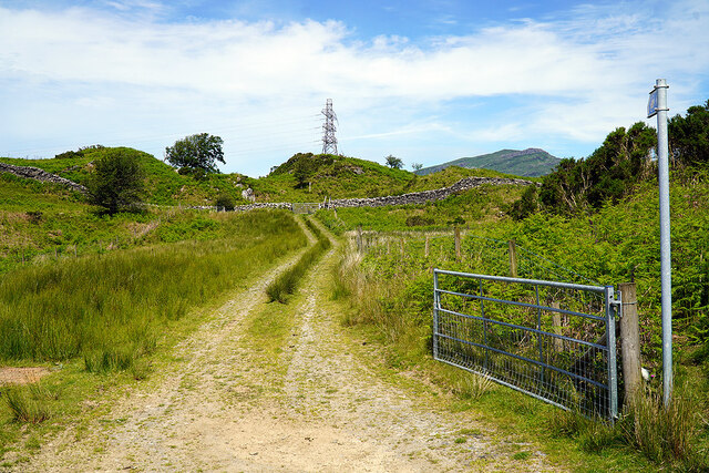
![Gate on the Cambrian Way Here the long distance path runs by the grounds of Cae Einion Alan [residential house]. To the left is cycle route 82 which emerges by the Trawsfynydd power station building.](https://s2.geograph.org.uk/geophotos/07/20/25/7202558_786f0e66.jpg)
Coed Penyglannau is located at Grid Ref: SH6739 (Lat: 52.932049, Lng: -3.9732364)
Unitary Authority: Gwynedd
Police Authority: North Wales
What 3 Words
///nicer.wires.records. Near Maentwrog, Gwynedd
Nearby Locations
Related Wikis
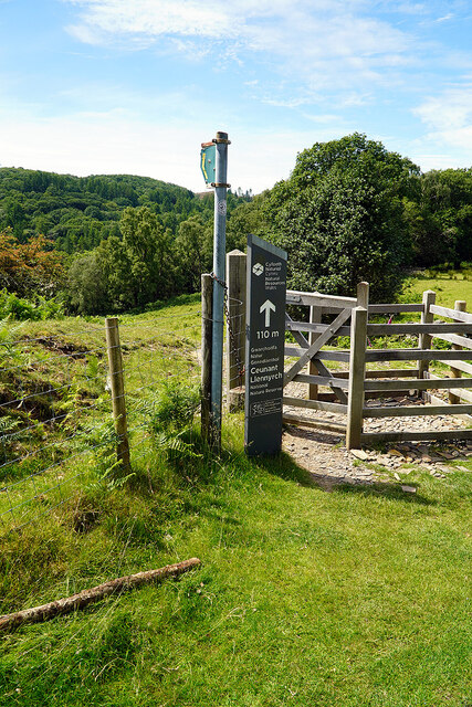
Ceunant Llennyrch National Nature Reserve
Ceunant Llennyrch National Nature Reserve is one of several woodland reserves in the Vale of Ffestiniog in Gwynedd, Wales and runs from Llyn Trawsfynydd...

Gellilydan
Gellilydan () is a village in the Welsh county of Gwynedd, in Maentwrog community. It lies 4 miles (6.4 km) south-south-east of Blaenau Ffestiniog. The...

Maentwrog
Maentwrog () is a village and community in the Welsh county of Merionethshire (now part of Gwynedd), lying in the Vale of Ffestiniog just below Blaenau...

Coed Camlyn National Nature Reserve
Coed Camlyn National Nature Reserve is a nature reserve located south of the village of Maentwrog in Gwynedd, Wales. Rising steeply from the River Dwyryd...
Nearby Amenities
Located within 500m of 52.932049,-3.9732364Have you been to Coed Penyglannau?
Leave your review of Coed Penyglannau below (or comments, questions and feedback).