Coed Allt-y-fedw

Wood, Forest in Merionethshire

Wales

Coed Allt-y-fedw

Stone wall in Happy Valley
Stone wall in Happy Valley Credit: Steven Brown

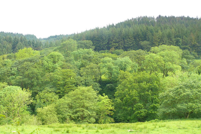
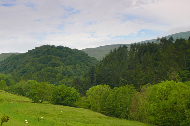
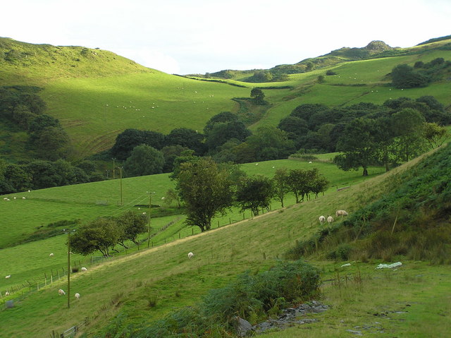
Coed Allt-y-fedw is a stunning woodland area located in Merionethshire, Wales. Spanning over a vast landscape, the forest is known for its breathtaking beauty and rich biodiversity. The name "Allt-y-fedw" translates to "wood of the birch trees," which accurately represents the dominant species found in the woodland.

The forest is home to a diverse range of flora and fauna, making it a popular destination for nature enthusiasts and wildlife lovers. Towering trees, including oak, beech, and rowan, create a dense canopy that provides a habitat for various bird species, such as woodpeckers, owls, and buzzards. Wildlife such as red squirrels, badgers, and foxes can also be spotted within the forest.

Walking through Coed Allt-y-fedw, visitors are greeted with a peaceful and serene atmosphere. The forest offers numerous walking trails, allowing visitors to explore its beauty at their leisure. The trails wind through the woodland, offering glimpses of sparkling streams and cascading waterfalls, adding to the enchanting ambiance of the area.

Not only is Coed Allt-y-fedw a haven for nature, but it also holds cultural significance. The forest has been the inspiration for numerous artists, writers, and poets throughout the years, capturing its mystique in various forms of art.

Overall, Coed Allt-y-fedw is a true gem in Merionethshire. Its picturesque landscape, diverse wildlife, and cultural importance make it a must-visit destination for anyone seeking tranquility and a deeper connection with nature.

If you have any feedback on the listing, please let us know in the comments section below.

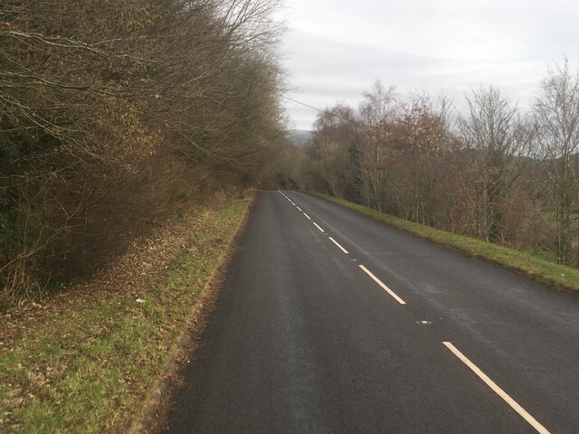
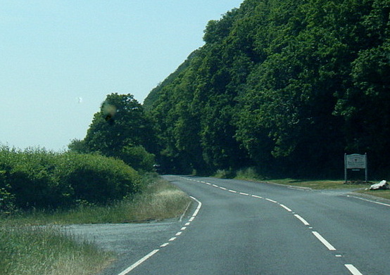
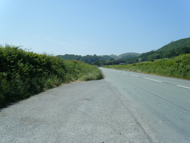
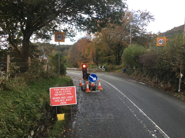
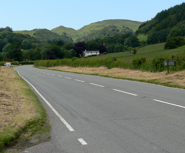
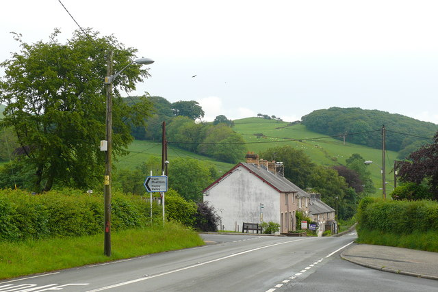
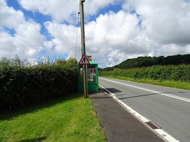
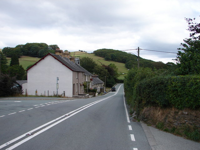
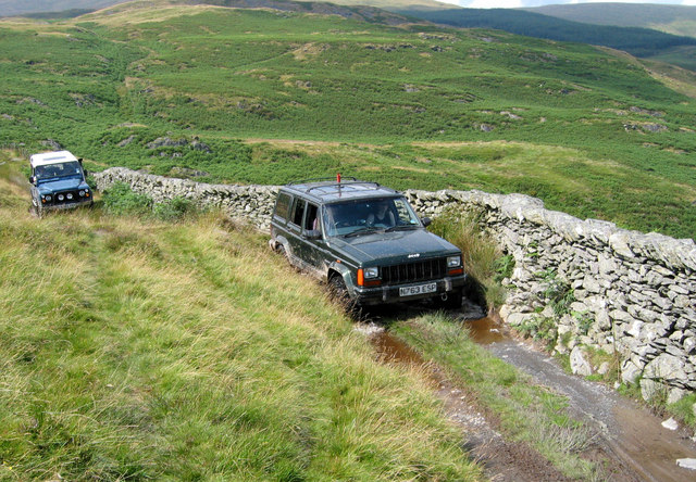
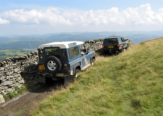
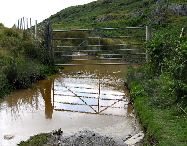
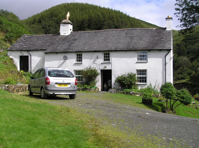
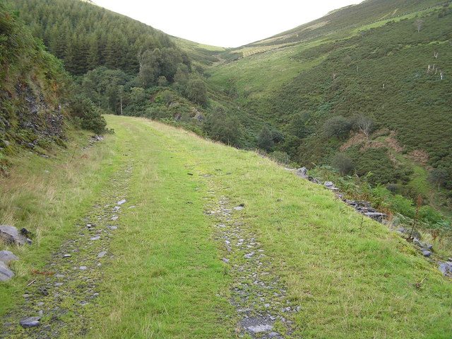
Coed Allt-y-fedw Images

Images are sourced within 2km of 52.580678/-3.9578121 or Grid Reference SN6799. Thanks to Geograph Open Source API. All images are credited.

Stone wall in Happy Valley
A493 towards Cwrt
A493 towards Cwrt
A493 at Gogarth
A493 at Gogarth
A493 lay-by west of Pennal
Traffic lights on the A493 in Cwrt
The A493 heading towards Cwrt
Cwrt Tai ger y ffordd Cwm Maethlon / Houses by the Happy Valley road.
Cwrt
Tai ger y ffordd Cwm Maethlon / Houses by the Happy Valley road.
Ger Gelli-Graian / Near Gelli-Graian Coed Llydandail a Coniferaidd / Broadleaf and Coniferous Woodland.
Ger Gelli-Graian / Near Gelli-Graian
Coed Llydandail a Coniferaidd / Broadleaf and Coniferous Woodland.
Cwm Ffernol Coetiroedd yng Ngwm Ffernol / Woodland in Cwm Ffernol
Cwm Ffernol
Coetiroedd yng Ngwm Ffernol / Woodland in Cwm Ffernol
Bus stop at Cwrt On the A493 road looking in the direction of Aberdyfi.
Bus stop at Cwrt
On the A493 road looking in the direction of Aberdyfi.
Cwrt The A493 road from Aberdyfi to Machynlleth passes through the hamlet of Cwrt, looking in the direction of Machynlleth. The road that can just be seen to the left is the road through "Happy Valley" and forms part of Lôn Las Cymru (Sustrans cycle route No. 8). To the right is a local dead-end lane to Penmaen Isa beside the Dyfi Estuary.
Cwrt
The A493 road from Aberdyfi to Machynlleth passes through the hamlet of Cwrt, looking in the direction of Machynlleth. The road that can just be seen to the left is the road through "Happy Valley" and forms part of Lôn Las Cymru (Sustrans cycle route No. 8). To the right is a local dead-end lane to Penmaen Isa beside the Dyfi Estuary.
2x4x4 off road
2x4x4 off road
Heading for Pant-yr-on
Gate over a pond?
Gate over a pond?
Cwmffernol farm cottage
Forestry road Cwmffernol Looking northeast above Cwmffernol farm cottage
Forestry road Cwmffernol
Looking northeast above Cwmffernol farm cottage
Cwmffernol farm view Looking south above Cwmffernol farm cottage
Cwmffernol farm view
Looking south above Cwmffernol farm cottage
The A483 in Cwrt The road narrows as it passes through the small hamlet and reaches the bridge over the Nant Cwm-ffernol; a sharp bend follows.
The A483 in Cwrt
The road narrows as it passes through the small hamlet and reaches the bridge over the Nant Cwm-ffernol; a sharp bend follows.
Show me another place!

Coed Allt-y-fedw is located at Grid Ref: SN6799 (Lat: 52.580678, Lng: -3.9578121)

Unitary Authority: Gwynedd

Police Authority: North Wales

What 3 Words

///sprint.lock.ambushes. Near Machynlleth, Powys

Nearby Locations

Coed Allt-y-fedw

Related Wikis

Gogarth railway station

Gogarth railway station served a sparsely populated area on the north shore of the Dyfi estuary in the Welsh county of Merionethshire. == History == Opened...

Cwm Ebol quarry

The Cwm Ebol quarry (also known as Cwmebol quarry) was a slate quarry about 1 mile (1.6 km) north west of the village of Pennal in Mid Wales. It operated...
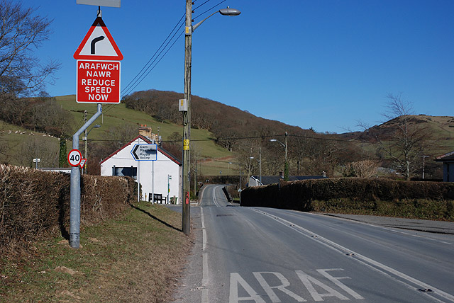
Pennal

Pennal is a village and community on the A493 road in southern Gwynedd, Wales, on the north bank of the River Dyfi, near Machynlleth. It lies in the historic...

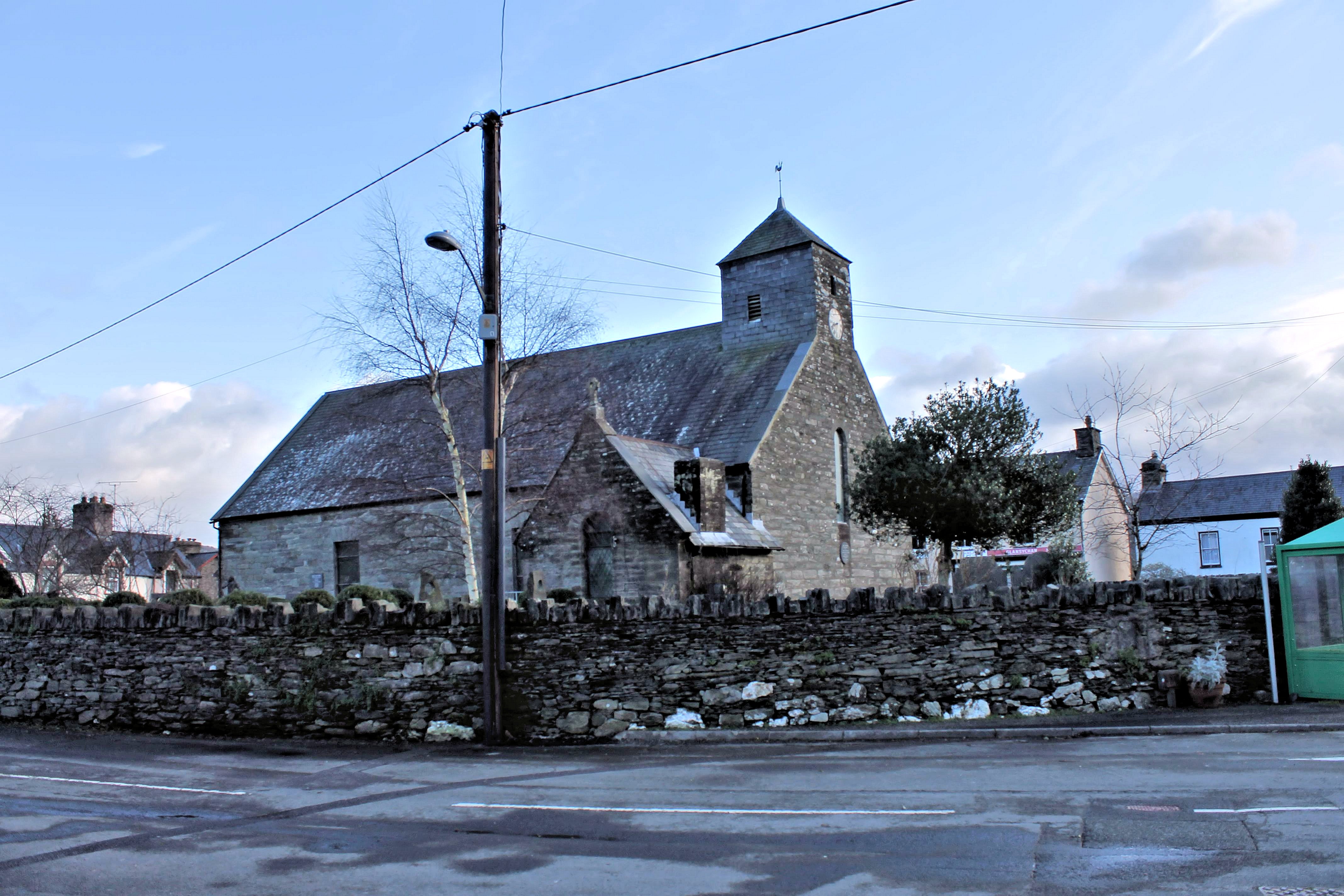
St Peter ad Vincula, Pennal

The parish church of St Peter ad Vincula (meaning Saint Peter in Chains) in the village of Pennal in Gwynedd, north-west Wales, is notable as the site...

Nearby Amenities

Located within 500m of 52.580678,-3.9578121
Ele: 186
Natural: peak
Lat/Long: 52.5822195/-3.9629892
Power: pole
Lat/Long: 52.578728/-3.9528492
Power: pole
Lat/Long: 52.5784444/-3.9545551
Power: pole
Lat/Long: 52.5781706/-3.9561805
Power: pole
Lat/Long: 52.5778756/-3.9579642
Power: pole
Lat/Long: 52.5773687/-3.9598686
Power: pole
Lat/Long: 52.5769041/-3.9617005
Information: route_marker
Tourism: information
Lat/Long: 52.579501/-3.9646456
Information: route_marker
Tourism: information
Lat/Long: 52.5791485/-3.9641245
Bryn Llwyn
Ele: 170
Natural: peak
Lat/Long: 52.5798726/-3.9614654
The data included in this document is from www.openstreetmap.org. The data is made available under ODbL.

Have you been to Coed Allt-y-fedw?

Leave your review of Coed Allt-y-fedw below (or comments, questions and feedback).