Coed y Castell
Wood, Forest in Carmarthenshire
Wales
Coed y Castell
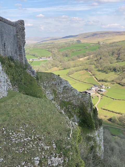
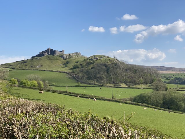
Coed y Castell, located in Carmarthenshire, Wales, is a picturesque wood and forest area that offers visitors a tranquil and scenic escape. Covering a vast expanse of land, Coed y Castell is known for its diverse range of flora and fauna, making it a haven for nature enthusiasts.
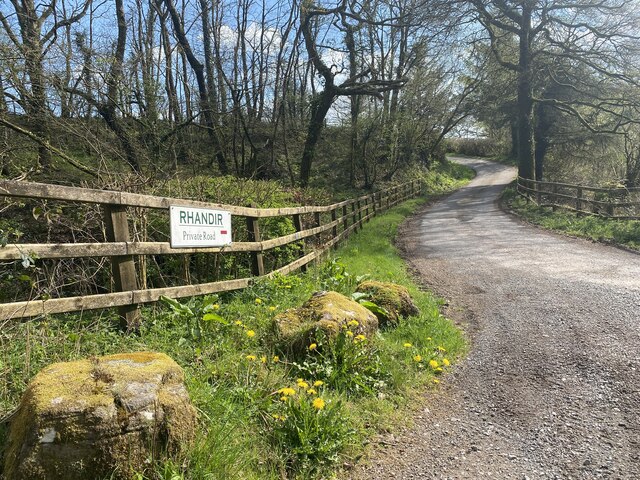
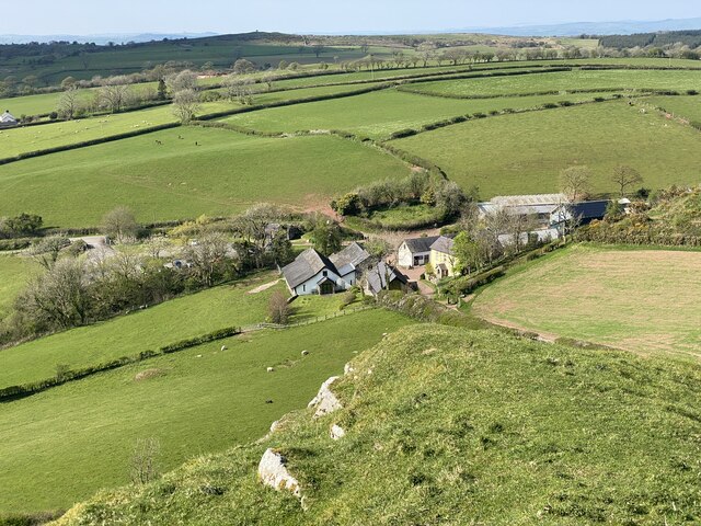
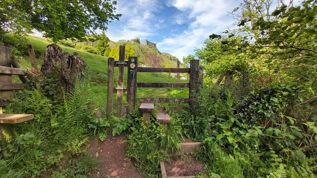
The wood is home to a variety of tree species, including oak, beech, ash, and birch, which create a dense canopy and provide shelter for a wide array of wildlife. Visitors can explore the many walking trails that wind through the wood, offering breathtaking views of the surrounding countryside and the nearby Towy Valley.
The forest is also home to an abundance of wildlife, with sightings of birds such as buzzards, woodpeckers, and red kites being common. Small mammals like foxes, badgers, and squirrels can also be spotted, adding to the natural charm of the area.
Coed y Castell has become a popular destination for outdoor activities such as hiking, cycling, and nature photography. The well-maintained trails cater to all levels of fitness, providing options for both leisurely strolls and more challenging hikes.
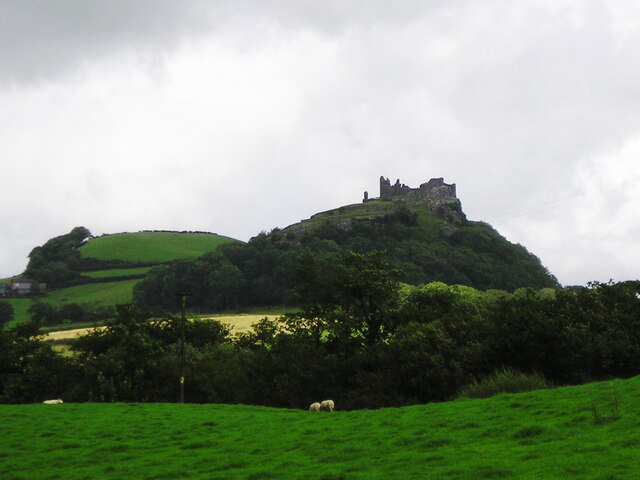
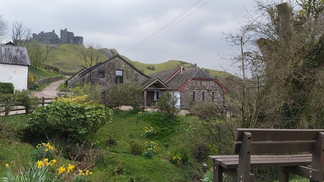
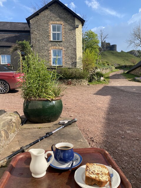
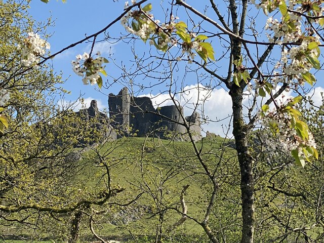
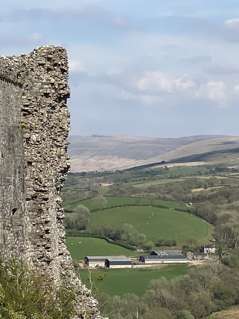
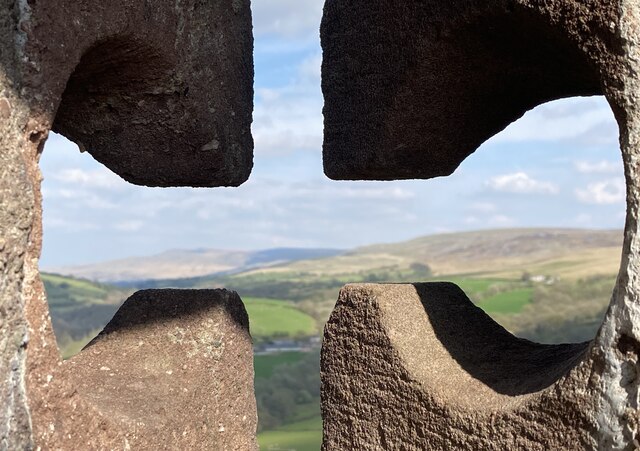
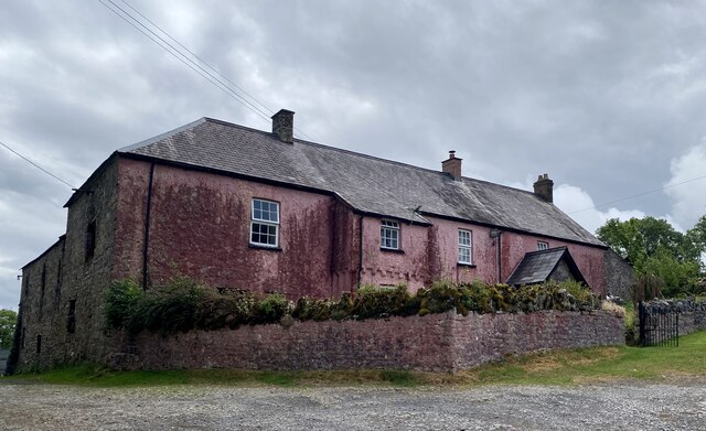
In addition to its natural beauty, Coed y Castell boasts historical significance, with remnants of a medieval castle still visible within the wood. This adds a touch of mystery and intrigue to the area, captivating visitors with its rich past.
Overall, Coed y Castell is a haven of tranquility, offering visitors the chance to immerse themselves in stunning natural surroundings and explore the diverse ecosystem that thrives within its borders.
If you have any feedback on the listing, please let us know in the comments section below.
Coed y Castell Images
Images are sourced within 2km of 51.857162/-3.9263255 or Grid Reference SN6719. Thanks to Geograph Open Source API. All images are credited.

Coed y Castell is located at Grid Ref: SN6719 (Lat: 51.857162, Lng: -3.9263255)
Unitary Authority: Carmarthenshire
Police Authority: Dyfed Powys
What 3 Words
///basics.workloads.jeeps. Near Llandeilo, Carmarthenshire
Nearby Locations
Related Wikis
Carreg Cennan
Carreg Cennan is a Site of Special Scientific Interest (SSSI) in Carmarthenshire, Wales (Grid reference SN670191). The site consists of a 19.5-hectare...

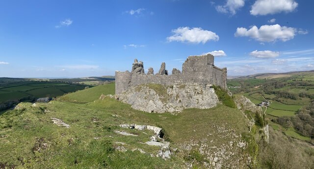
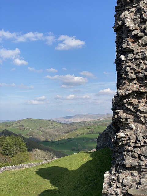
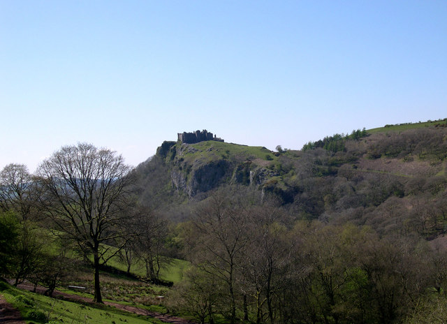
Carreg Cennen Castle
Carreg Cennen Castle (Welsh: Castell Carreg Cennen) is a castle sited on a high rocky outcrop overlooking the River Cennen, close to the village of Trap...

Cae Cilmaenllwyd
Cae Cilmaenllwyd is a Site of Special Scientific Interest in Carmarthenshire, Wales. == References == == See also == List of Sites of Special Scientific...
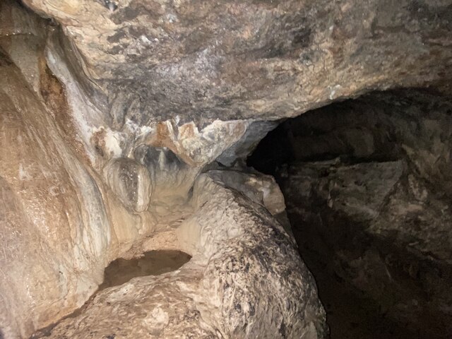
Llygad Llwchwr
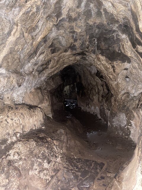
Llygad Llwchwr is a 1.2 km-long cave system in the Black Mountain which forms the westernmost range of the Brecon Beacons National Park in Wales. The entrance...
Trap, Carmarthenshire
Trap (or Trapp) is a hamlet in the county of Carmarthenshire in southwest Wales, located on the western border of the Brecon Beacons National Park, around...
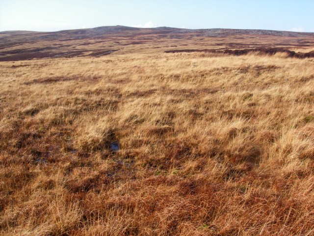
Tair Carn Uchaf
Tair Carn Uchaf (Welsh for 'Upper Three Cairns') is a hill in the Brecon Beacons National Park (Welsh: Parc Cenedlaethol Bannau Brycheiniog) in the county...

Carreg Dwfn
Carreg Dwfn (also referred to as Careg Dwfn and Carregydwfn and referred to also as Careg-y-dwfan ) is a hill four miles southeast of Llandeilo and just...
Caeau Tir-mawr
Caeau Tir-mawr is a Site of Special Scientific Interest in Carmarthen & Dinefwr, Wales. == External links == Description at Brecon Beacons National Park...
Nearby Amenities
Located within 500m of 51.857162,-3.9263255Have you been to Coed y Castell?
Leave your review of Coed y Castell below (or comments, questions and feedback).