Coed Cwm-du

Wood, Forest in Merionethshire

Wales

Coed Cwm-du

A493 towards Cwrt
A493 towards Cwrt Credit: Steven Brown

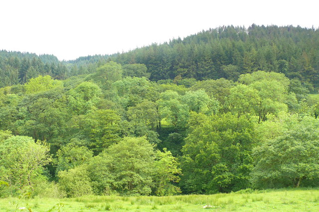
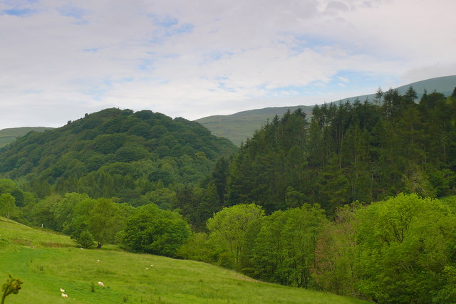
Coed Cwm-du is a picturesque woodland located in the county of Merionethshire, Wales. Set amidst the stunning countryside, this ancient forest holds a significant place in the region's natural and cultural heritage. The name "Coed Cwm-du" translates to "Wood, Forest" in English, perfectly encapsulating the essence of this enchanting destination.

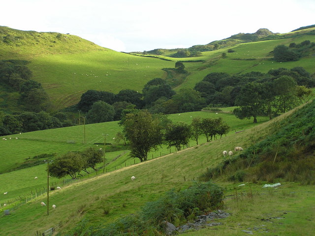
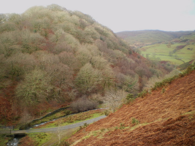
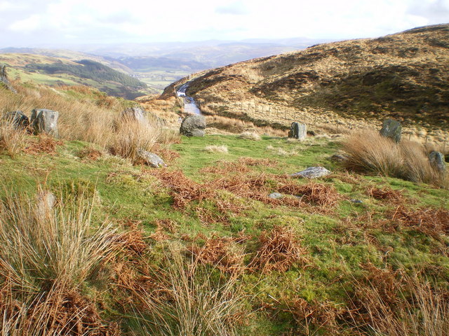
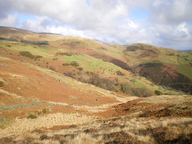
Covering an area of approximately 500 acres, Coed Cwm-du is predominantly composed of native tree species, including oak, birch, ash, and beech. These trees create a dense canopy that provides a haven for a diverse range of flora and fauna. Visitors can expect to encounter vibrant wildflowers, such as bluebells and primroses, as well as various mosses and ferns, adding to the area's natural beauty.

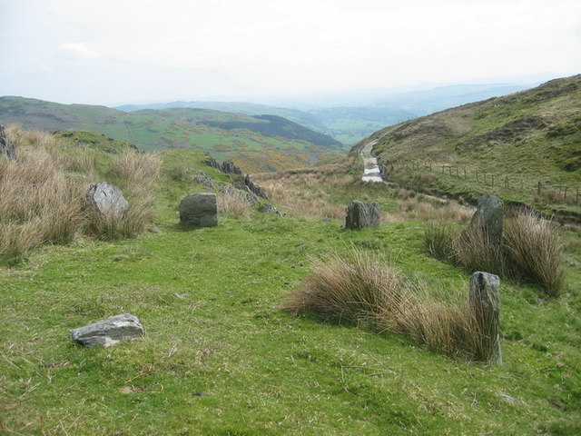
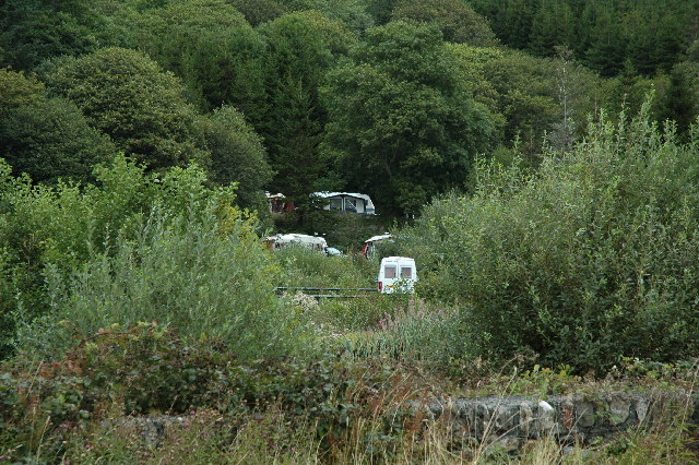
The woodland is crisscrossed by a network of well-maintained trails, allowing visitors to explore its depths and immerse themselves in the tranquility of nature. Additionally, the forest features a number of streams and small waterfalls, which further enhance the scenic charm of the surroundings.

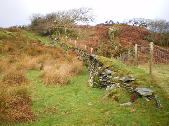
Coed Cwm-du also holds historical significance, with remnants of ancient settlements and prehistoric remains scattered throughout the area. Archeological surveys have revealed evidence of human habitation dating back thousands of years, including the presence of Bronze Age burial sites and Iron Age hillforts.

With its breathtaking landscapes, diverse wildlife, and rich historical heritage, Coed Cwm-du is a captivating destination that offers a unique and immersive experience for nature enthusiasts, history buffs, and anyone seeking solace in the embrace of the natural world.

If you have any feedback on the listing, please let us know in the comments section below.

Coed Cwm-du Images

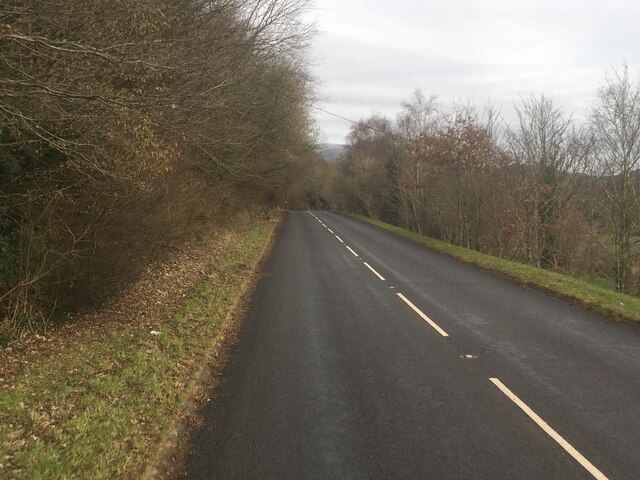
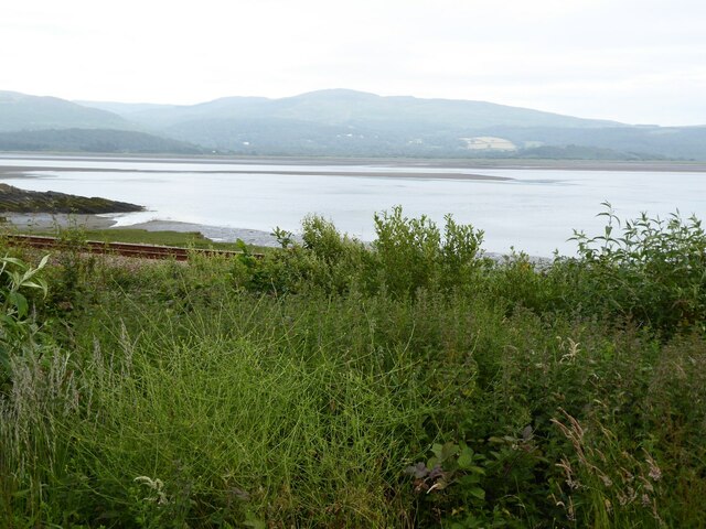
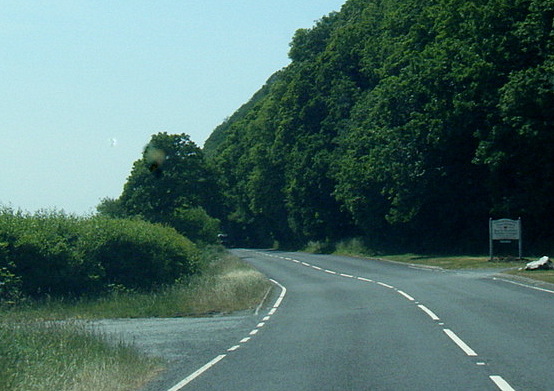
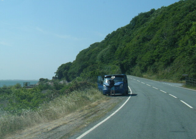
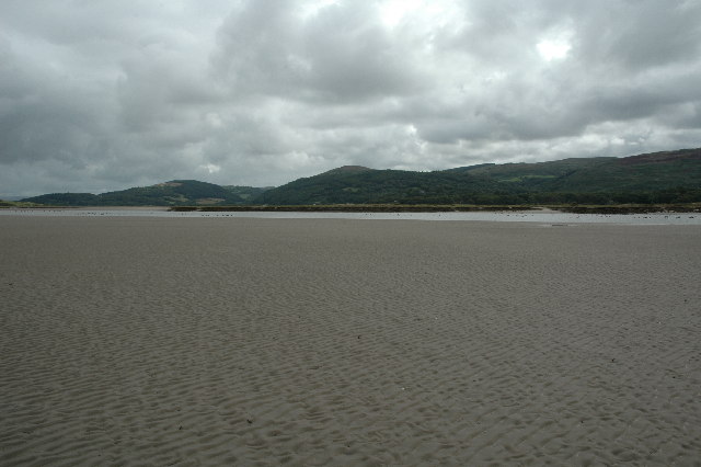
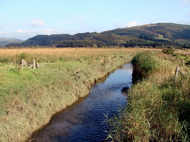
Images are sourced within 2km of 52.568919/-3.9631021 or Grid Reference SN6798. Thanks to Geograph Open Source API. All images are credited.

A493 towards Cwrt
A493 towards Cwrt
The Dovey estuary
The Dovey estuary
View across the Dovey estuary The railway can be seen in the foreground.
View across the Dovey estuary
The railway can be seen in the foreground.
A493 at Gogarth
A493 at Gogarth
A493 near Pont Pant-Eidal
Ger Gelli-Graian / Near Gelli-Graian Coed Llydandail a Coniferaidd / Broadleaf and Coniferous Woodland.
Ger Gelli-Graian / Near Gelli-Graian
Coed Llydandail a Coniferaidd / Broadleaf and Coniferous Woodland.
Cwm Ffernol Coetiroedd yng Ngwm Ffernol / Woodland in Cwm Ffernol
Cwm Ffernol
Coetiroedd yng Ngwm Ffernol / Woodland in Cwm Ffernol
2x4x4 off road
2x4x4 off road
Heading for Pant-yr-on
Cwmffernol farm view Looking south above Cwmffernol farm cottage
Cwmffernol farm view
Looking south above Cwmffernol farm cottage
Eglwys y Gwyddelod Cylch cerrig o'r Oes Bres o bosib a saif ar lethrau Mynyddau'r Tarenni. Yr enw lleol ar y heneb hon yw Eglwys y Gwyddelod. 

A possible Bronze Age stone circle located on the lower slopes of the Tarenni Mountains. The local name for this ancient monument is Eglwys y Gwyddelod (trans. Church of the Irish).
Eglwys y Gwyddelod
Cylch cerrig o'r Oes Bres o bosib a saif ar lethrau Mynyddau'r Tarenni. Yr enw lleol ar y heneb hon yw Eglwys y Gwyddelod. A possible Bronze Age stone circle located on the lower slopes of the Tarenni Mountains. The local name for this ancient monument is Eglwys y Gwyddelod (trans. Church of the Irish).
Coed Cefn Coch A wooded hillside above Cwm Ffernol
Coed Cefn Coch
A wooded hillside above Cwm Ffernol
Ancient field boundary above Cwm Ffernol
Eglwys y Gwyddelod Not a cairn circle as the map describes it, the site is actually a ring of 8, possibly 9, small stones, in total about 20' in diameter.
<span class="nowrap"><a title="http://www.megalithic.co.uk/article.php?sid=355" rel="nofollow ugc noopener" href="http://www.megalithic.co.uk/article.php?sid=355">Link</a><img style="margin-left:2px;" alt="External link" title="External link - shift click to open in new window" src="https://s1.geograph.org.uk/img/external.png" width="10" height="10"/></span>
<span class="nowrap"><a title="http://www.coflein.gov.uk/en/search/?simpleTerm=Eglwys+y+Gwyddelod&submit=Search&submit=Search" rel="nofollow ugc noopener" href="http://www.coflein.gov.uk/en/search/?simpleTerm=Eglwys+y+Gwyddelod&submit=Search&submit=Search">Link</a><img style="margin-left:2px;" alt="External link" title="External link - shift click to open in new window" src="https://s1.geograph.org.uk/img/external.png" width="10" height="10"/></span>
Eglwys y Gwyddelod
Not a cairn circle as the map describes it, the site is actually a ring of 8, possibly 9, small stones, in total about 20' in diameter. LinkExternal link LinkExternal link
Across the lower reaches of Cwm  Ffernol
Across the lower reaches of Cwm Ffernol
Panteidal Caravan Site, Aberdyfi This is a view looking north from the A493 at Panteidal Caravan Site (Caravan Club). Nice place, access to plenty of walks and other things to do...
Panteidal Caravan Site, Aberdyfi
This is a view looking north from the A493 at Panteidal Caravan Site (Caravan Club). Nice place, access to plenty of walks and other things to do...
Afon Dyfi (River Dovey) This is a view taken standing at SN 66872 96971 and looking directly south over Afon Dyfi (River Dovey). The tide was out at the time giving good access to most of the estuary.
Afon Dyfi (River Dovey)
This is a view taken standing at SN 66872 96971 and looking directly south over Afon Dyfi (River Dovey). The tide was out at the time giving good access to most of the estuary.
Afon Dyfi (River Dovey) This is a view taken standing at SN 67184 97048 looking east. According to the map I should have been standing in the river itself but as you can see the route of the river is some distance away to the south.
Afon Dyfi (River Dovey)
This is a view taken standing at SN 67184 97048 looking east. According to the map I should have been standing in the river itself but as you can see the route of the river is some distance away to the south.
Show me another place!

Coed Cwm-du is located at Grid Ref: SN6798 (Lat: 52.568919, Lng: -3.9631021)

Unitary Authority: Gwynedd

Police Authority: North Wales

What 3 Words

///firewall.deep.winded. Near Machynlleth, Powys

Related Wikis

Related Videos

Windy Camp At Smugglers Cove HD 1080p

I went to Smugglers cove to film a friends BIrthday camp, We had so much fun, boating and swimming, but next time I would take ...

Holiday Jam with Entrapta_Iruma (Live Synth Jam)

The challenge this weekend was to involve someone else. I managed to rope in my lovely daughter to play the voice of Hatsune ...

Have you been to Coed Cwm-du?

Leave your review of Coed Cwm-du below (or comments, questions and feedback).