Coed Troedrhiwseiri
Wood, Forest in Cardiganshire
Wales
Coed Troedrhiwseiri
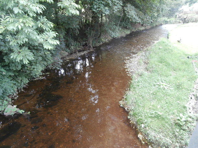
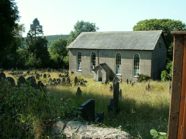
Coed Troedrhiwseiri, located in Cardiganshire, is a picturesque woodland area renowned for its natural beauty and rich biodiversity. Covering an area of approximately 100 acres, this enchanting forest is a popular destination for nature lovers, hikers, and wildlife enthusiasts.
The woodland is characterized by a variety of tree species, including oak, beech, ash, and birch, which create a diverse and vibrant habitat for numerous plant and animal species. The forest floor is carpeted with a lush undergrowth of ferns, mosses, and wildflowers, adding to the area's visual appeal.
Coed Troedrhiwseiri is crisscrossed by a network of well-maintained footpaths and trails, allowing visitors to explore the forest at their own pace. These trails offer a range of difficulty levels, catering to both casual strollers and avid hikers. Along the way, visitors can enjoy breathtaking views of the surrounding countryside and may even spot some of the area's resident wildlife, such as red squirrels, badgers, and a variety of bird species.
The forest is managed by a local conservation organization, which ensures the preservation of its natural resources and the protection of its wildlife. They also organize educational programs and events to raise awareness about the importance of sustainable forestry and wildlife conservation.
Coed Troedrhiwseiri is a tranquil and serene escape from the hustle and bustle of everyday life, providing an opportunity to reconnect with nature and enjoy the tranquility of the woodland surroundings.
If you have any feedback on the listing, please let us know in the comments section below.
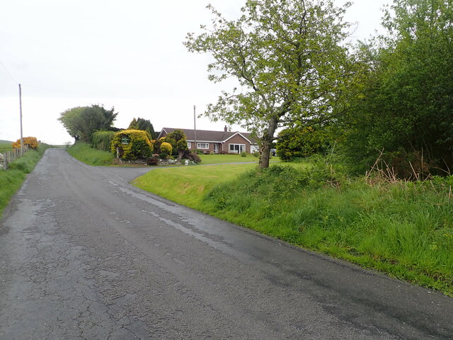
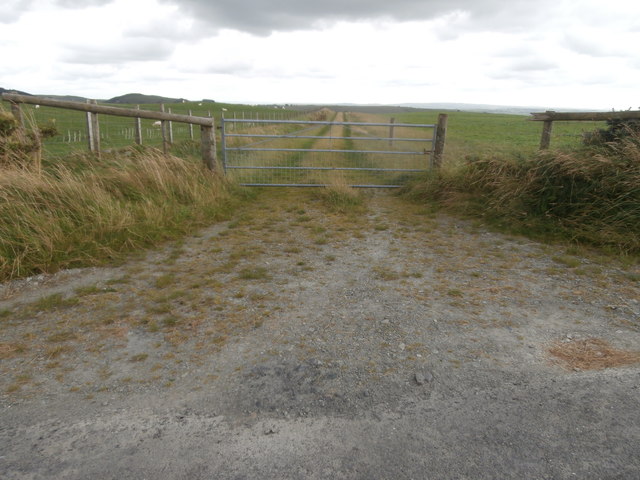
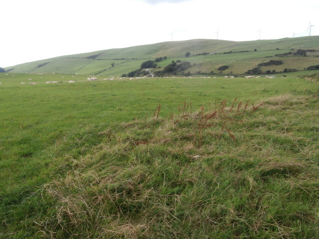
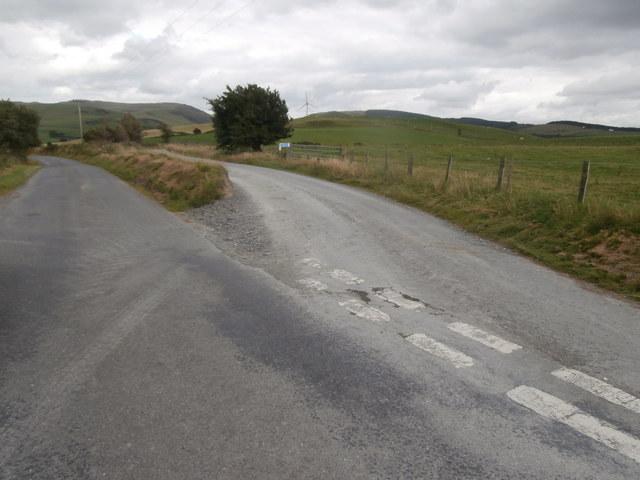
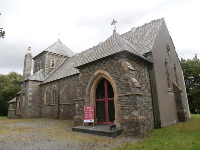
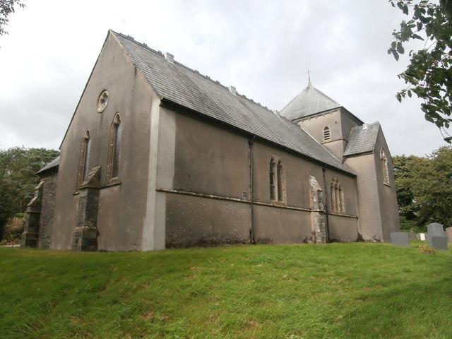
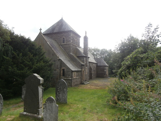
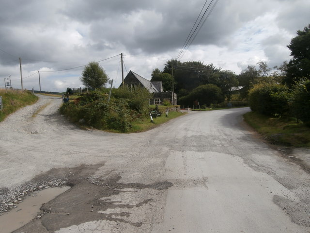
Coed Troedrhiwseiri Images
Images are sourced within 2km of 52.447783/-3.9575036 or Grid Reference SN6785. Thanks to Geograph Open Source API. All images are credited.


Coed Troedrhiwseiri is located at Grid Ref: SN6785 (Lat: 52.447783, Lng: -3.9575036)
Unitary Authority: Ceredigion
Police Authority: Dyfed Powys
What 3 Words
///elder.clap.slept. Near Bow Street, Ceredigion
Nearby Locations
Related Wikis
Salem, Ceredigion
Salem is a small Welsh village in Ceredigion, located between the Afon Stewi and Nant Seilo rivers. The closest village is Penrhyn-coch. The Salem Independent...

Broginin
Broginin is a hamlet in the community of Trefeurig, Ceredigion, Wales, which is 74.6 miles (120 km) from Cardiff and 175.7 miles (282.8 km) from London...
Pen-Rhiw-Newydd
Penrhiwnewydd is a hamlet in the community of Trefeurig, Ceredigion, Wales, which is 74.1 miles (119.2 km) from Cardiff and 175.3 miles (282 km) from London...
Pen-bont-rhyd-y-beddau
Pen-bont-rhyd-y-beddau is a small village in the community of Trefeurig, Ceredigion, Wales, which is 73.7 miles (118.6 km) from Cardiff and 174.8 miles...

Bont Goch
Bont Goch (also known as Bontgoch or Elerch) is a village in Ceredigion, Wales, 2 miles (3.2 km) northeast of Aberystwyth. With Talybont, it is in the...

Trefeurig
Trefeurig is a community in Mid and West Wales, situated around 4 miles (6.4 km) north-east of Aberystwyth. It is a site of particular prehistoric, Roman...
Garth, Ceredigion
Garth, Ceredigion is a small village in the community of Trefeurig, Ceredigion, Wales, which is 74.6 miles (120.1 km) from Cardiff and 176.3 miles (283...
Daren
Daren is a hamlet bach in the community of Trefeurig, Ceredigion, Wales, which is 73.2 miles (117.7 km) from Cardiff and 174.5 miles (280.8 km) from London...
Nearby Amenities
Located within 500m of 52.447783,-3.9575036Have you been to Coed Troedrhiwseiri?
Leave your review of Coed Troedrhiwseiri below (or comments, questions and feedback).