Coed Gogarth

Wood, Forest in Merionethshire

Wales

Coed Gogarth

Salt marsh near Ynis Edwin
Salt marsh near Ynis Edwin Credit: Chris Morgan

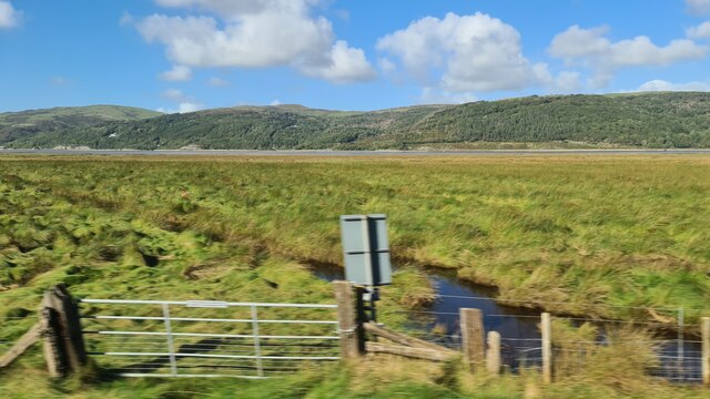
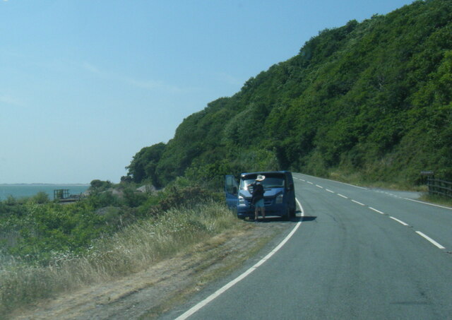
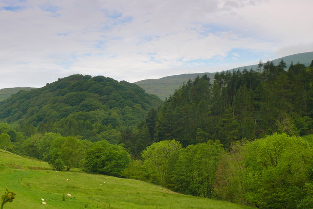
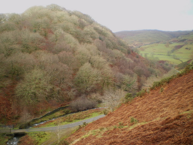
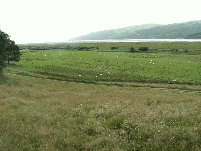
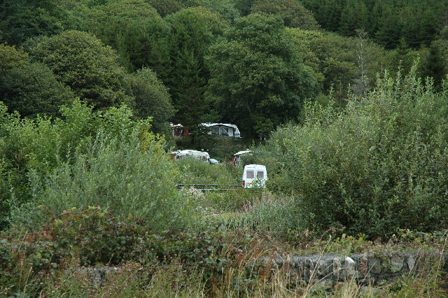
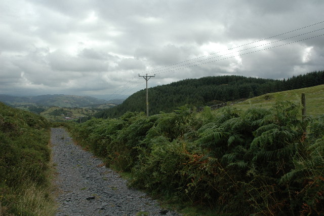
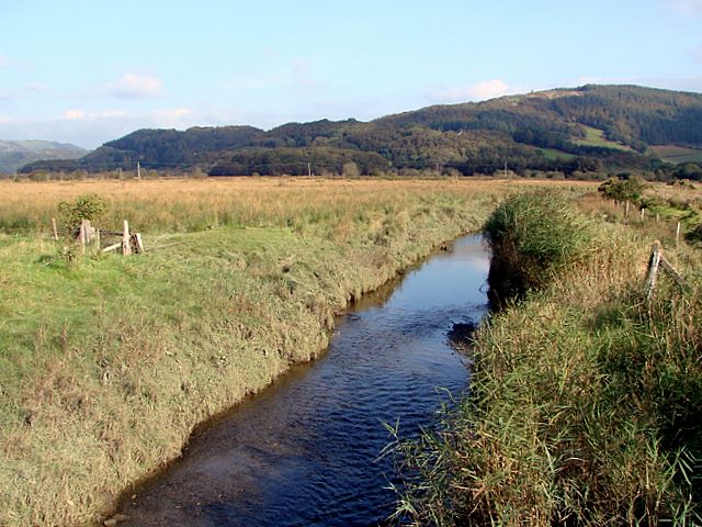
Coed Gogarth, located in Merionethshire, Wales, is a stunning woodland area renowned for its natural beauty and diverse range of fauna and flora. Spanning over several acres, this enchanting forest is a haven for nature lovers and outdoor enthusiasts.

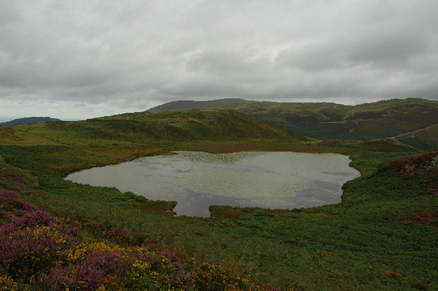
The wood is predominantly composed of native tree species such as oak, beech, and birch, creating a rich and vibrant ecosystem. The towering trees provide shade and shelter for a variety of wildlife, including birds, squirrels, and deer. Walking through the forest, one may also come across a multitude of wildflowers, ferns, and mosses, adding bursts of color and texture to the landscape.

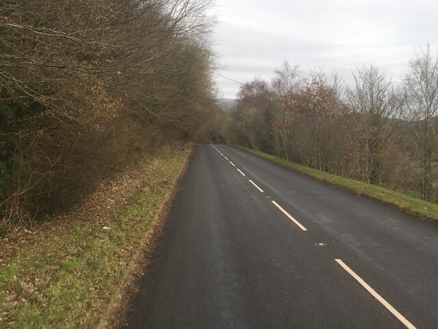
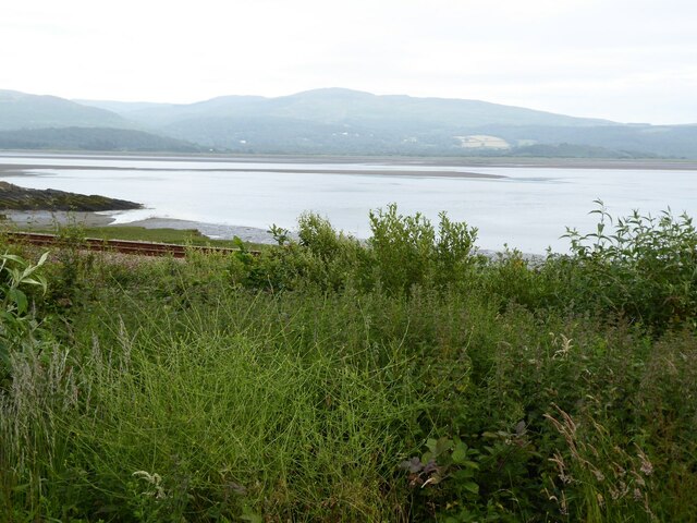
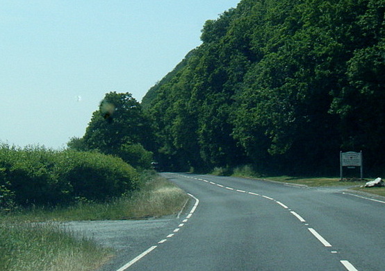
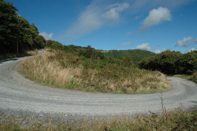
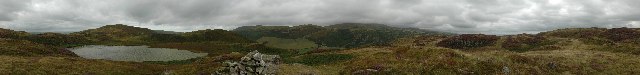
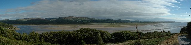
Coed Gogarth offers an extensive network of well-maintained footpaths and trails, making it an accessible destination for hikers and walkers of all abilities. These paths wind their way through the woodland, offering breathtaking views of the surrounding countryside and the nearby coastline. The forest also boasts a picnic area, providing visitors with a perfect spot to relax and enjoy the peaceful ambiance.

In addition to its natural beauty, Coed Gogarth holds cultural and historical significance. The forest is home to ancient archaeological sites, including remnants of Iron Age settlements and burial mounds. These archaeological treasures offer a glimpse into the area's rich past and provide a fascinating insight into the lives of its early inhabitants.

Overall, Coed Gogarth is a captivating woodland retreat that showcases the diversity and splendor of nature. Whether it's for a leisurely stroll, a picnic in the great outdoors, or an exploration of its historical heritage, this forest offers a truly unforgettable experience for all who visit.

If you have any feedback on the listing, please let us know in the comments section below.

Coed Gogarth Images

Images are sourced within 2km of 52.565467/-3.9609265 or Grid Reference SN6798. Thanks to Geograph Open Source API. All images are credited.

Salt marsh near Ynis Edwin
A493 towards Cwrt
A493 towards Cwrt
The Dovey estuary
The Dovey estuary
View across the Dovey estuary The railway can be seen in the foreground.
View across the Dovey estuary
The railway can be seen in the foreground.
A493 at Gogarth
A493 at Gogarth
A493 near Pont Pant-Eidal
From a Machynlleth-Aberystwyth train, saltmarsh by the Dovey estuary
Cwm Ffernol Coetiroedd yng Ngwm Ffernol / Woodland in Cwm Ffernol
Cwm Ffernol
Coetiroedd yng Ngwm Ffernol / Woodland in Cwm Ffernol
Coed Cefn Coch A wooded hillside above Cwm Ffernol
Coed Cefn Coch
A wooded hillside above Cwm Ffernol
Dyfi Estuary from Ynys Edwin Dyfi estuary looking NW towards Aberdyfi from Ynys Edwin in the RSPB reserve at Ynys Hir.
Dyfi Estuary from Ynys Edwin
Dyfi estuary looking NW towards Aberdyfi from Ynys Edwin in the RSPB reserve at Ynys Hir.
Panteidal Caravan Site, Aberdyfi This is a view looking north from the A493 at Panteidal Caravan Site (Caravan Club). Nice place, access to plenty of walks and other things to do...
Panteidal Caravan Site, Aberdyfi
This is a view looking north from the A493 at Panteidal Caravan Site (Caravan Club). Nice place, access to plenty of walks and other things to do...
Afon Dyfi (River Dovey) This is a view taken standing at SN 66872 96971 and looking directly south over Afon Dyfi (River Dovey). The tide was out at the time giving good access to most of the estuary.
Afon Dyfi (River Dovey)
This is a view taken standing at SN 66872 96971 and looking directly south over Afon Dyfi (River Dovey). The tide was out at the time giving good access to most of the estuary.
Afon Dyfi (River Dovey) This is a view taken standing at SN 67184 97048 looking east. According to the map I should have been standing in the river itself but as you can see the route of the river is some distance away to the south.
Afon Dyfi (River Dovey)
This is a view taken standing at SN 67184 97048 looking east. According to the map I should have been standing in the river itself but as you can see the route of the river is some distance away to the south.
Track to Glygyrog-wen This view was taken standing at SN 65800 97211 looking east north east at a bend in the track that winds its way up to Glygyrog-wen.
Track to Glygyrog-wen
This view was taken standing at SN 65800 97211 looking east north east at a bend in the track that winds its way up to Glygyrog-wen.
Part of the Panorama Walk, Wales This is a view looking east standing on the Panorama Walk at SN 66038 98398.
Part of the Panorama Walk, Wales
This is a view looking east standing on the Panorama Walk at SN 66038 98398.
Llyn Barfog (Bearded Lake) This is a view looking north west over Llyn Barfog (bearded lake), so called because it is covered completely by water plants. An interesting place if you are into Arthurian Legend and if you're not then it's still a great place to walk to.
Llyn Barfog (Bearded Lake)
This is a view looking north west over Llyn Barfog (bearded lake), so called because it is covered completely by water plants. An interesting place if you are into Arthurian Legend and if you're not then it's still a great place to walk to.
Llyn Barfog and surrounding area This is a 360 degree panorama taken standing at the cairn (SN 65398 98858, 230M above sea level) next to Llyn Barfog. The far left edge of the lake is looking approx south.
Llyn Barfog and surrounding area
This is a 360 degree panorama taken standing at the cairn (SN 65398 98858, 230M above sea level) next to Llyn Barfog. The far left edge of the lake is looking approx south.
Afon Dyfi, Aberdyfi This is a panoramic view of Afon Dyfi (River Dovey) taken from SN 65849 97254 and is looking south or there abouts. The picture was made up from three pictures stitched together with Panavue. No tripod used.
Afon Dyfi, Aberdyfi
This is a panoramic view of Afon Dyfi (River Dovey) taken from SN 65849 97254 and is looking south or there abouts. The picture was made up from three pictures stitched together with Panavue. No tripod used.
Show me another place!

Coed Gogarth is located at Grid Ref: SN6798 (Lat: 52.565467, Lng: -3.9609265)

Unitary Authority: Gwynedd

Police Authority: North Wales

What 3 Words

///birthing.stroke.longer. Near Machynlleth, Powys

Related Wikis

Gogarth railway station

Gogarth railway station served a sparsely populated area on the north shore of the Dyfi estuary in the Welsh county of Merionethshire. == History == Opened...

Frongoch quarry, Aberdyfi

Frongoch slate quarry (also known as Fron-goch slate quarry or Fron-gôch slate quarry) was a slate quarry and mine in Mid Wales, approximately halfway...

Aberdyfi Castle

Aberdyfi Castle is a castle located near Glandyfi, Ceredigion, in Wales. All that now remains is the motte, which is referred to as Domen Las (traditionally...

Ynys-hir RSPB reserve

Ynys-hir RSPB reserve is a nature reserve of the RSPB situated beside the Dyfi estuary in Ceredigion, mid Wales between Aberystwyth and Machynlleth. The...

Afon Llyfnant

The River Llyfnant (Welsh: Afon Llyfnant) is a short river in Ceredigion, on the west coast of Wales. The river rises in the mountains south of Machynlleth...

Dovey Junction railway station

Dovey Junction ( DUH-vee-; Welsh: Cyffordd Dyfi) is a railway station on the Cambrian Line in Wales. It is the junction where the line splits into the...

Glandyfi Castle

Glandyfi Castle in Glandyfi, Ceredigion, Wales, is a mock castle dating from the early 19th century. It was built for George Jeffreys, a barrister and...

Glandyfi

Glandyfi (formerly anglicised as Glandovey) is a small hamlet in the county of Ceredigion in Wales on the A487 trunk road from Machynlleth to Aberystwyth...

Nearby Amenities

Located within 500m of 52.565467,-3.9609265
Railway: level_crossing
Lat/Long: 52.5613114/-3.95879
The data included in this document is from www.openstreetmap.org. The data is made available under ODbL.

Have you been to Coed Gogarth?

Leave your review of Coed Gogarth below (or comments, questions and feedback).