Coed Glegyrog-wen

Wood, Forest in Merionethshire

Wales

Coed Glegyrog-wen

Stone wall in Happy Valley
Stone wall in Happy Valley Credit: Steven Brown

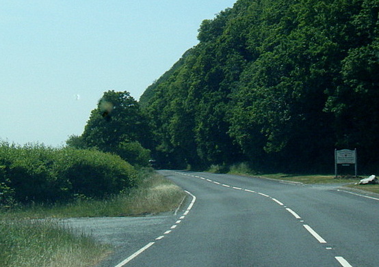
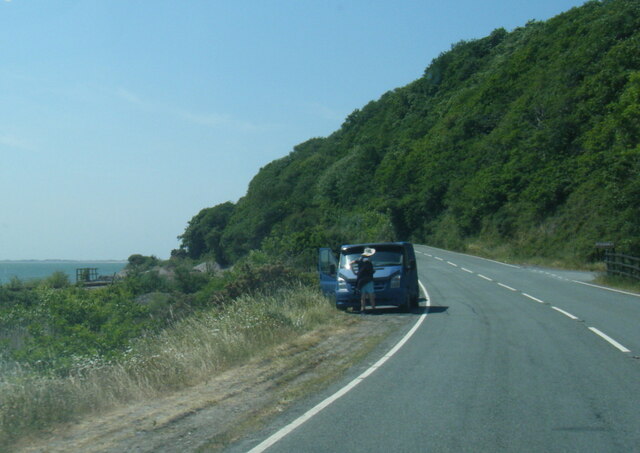
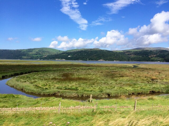
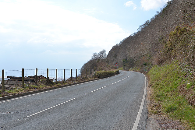
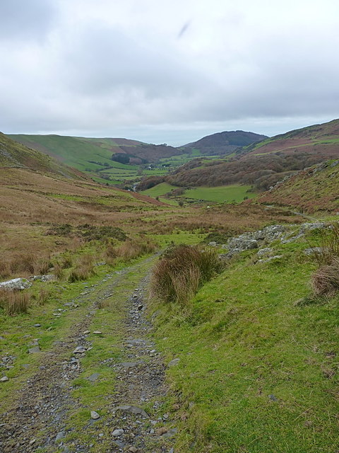
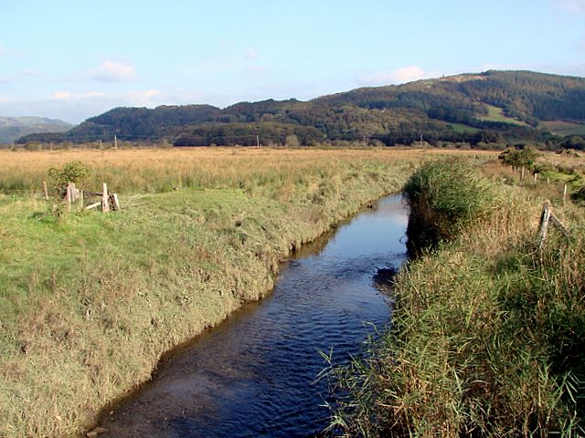
Coed Glegyrog-wen, located in Merionethshire, Wales, is a scenic woodland area known for its enchanting beauty and rich biodiversity. Covering an area of approximately 100 hectares, this ancient forest is nestled within the stunning Snowdonia National Park.

The name "Coed Glegyrog-wen" translates to "White Stony Wood" in English, which aptly describes the environment of the forest. The woodland features a diverse range of tree species, including oak, birch, and rowan, creating a dense canopy that provides shelter for an array of wildlife.

The forest is home to a range of native animals, such as red squirrels, badgers, and various bird species, including woodpeckers and tawny owls. Nature enthusiasts can explore the forest's meandering paths, which offer breathtaking views of the surrounding landscape and opportunities for wildlife spotting.

Coed Glegyrog-wen is also renowned for its historical significance. The forest has remnants of ancient settlements, including stone circles and burial sites, dating back to prehistoric times. These archaeological features add a sense of mystique to the already captivating woodland.

The forest is a popular destination for outdoor activities, drawing hikers, nature photographers, and picnickers alike. Visitors can immerse themselves in the tranquility of the woods, enjoying the peaceful ambiance and the soothing sounds of nature.

With its picturesque scenery, abundant wildlife, and fascinating history, Coed Glegyrog-wen is a must-visit destination for those seeking a connection with nature and a glimpse into the past.

If you have any feedback on the listing, please let us know in the comments section below.

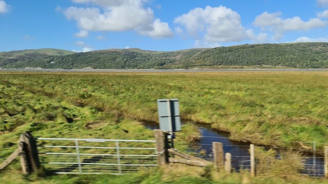
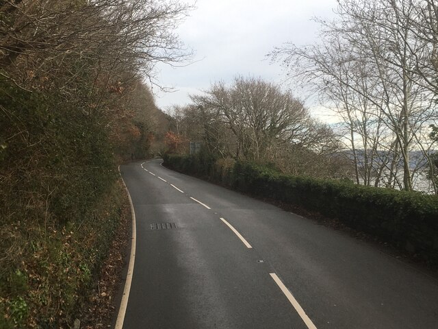
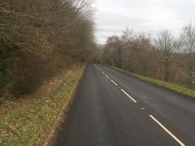
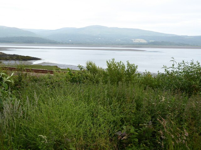
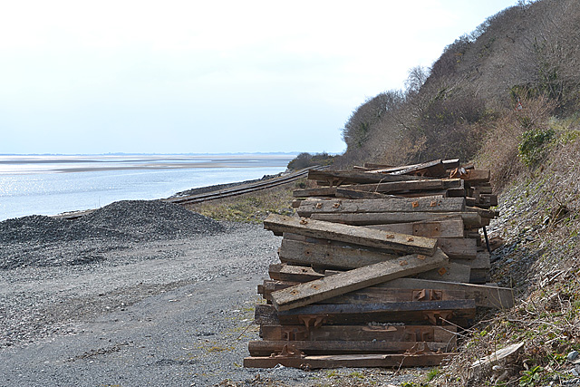
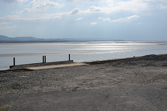
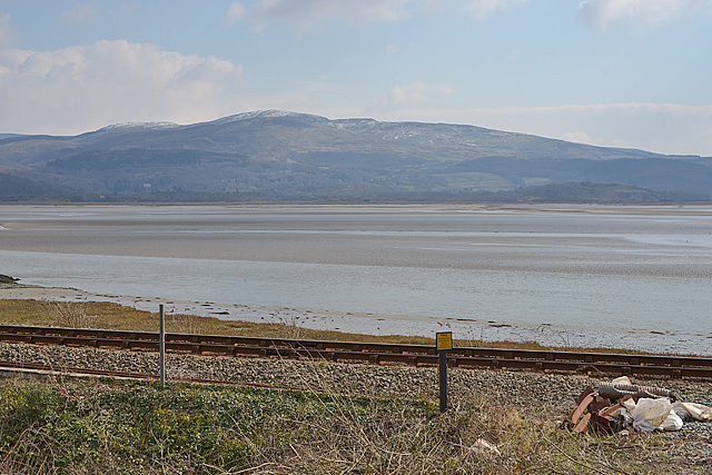
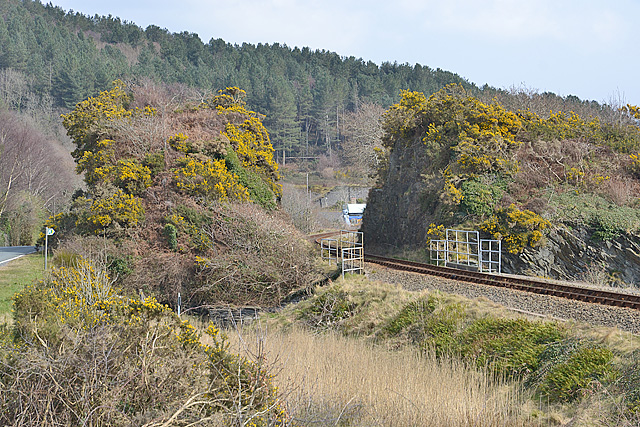
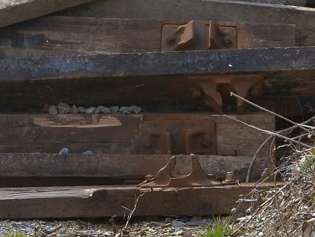
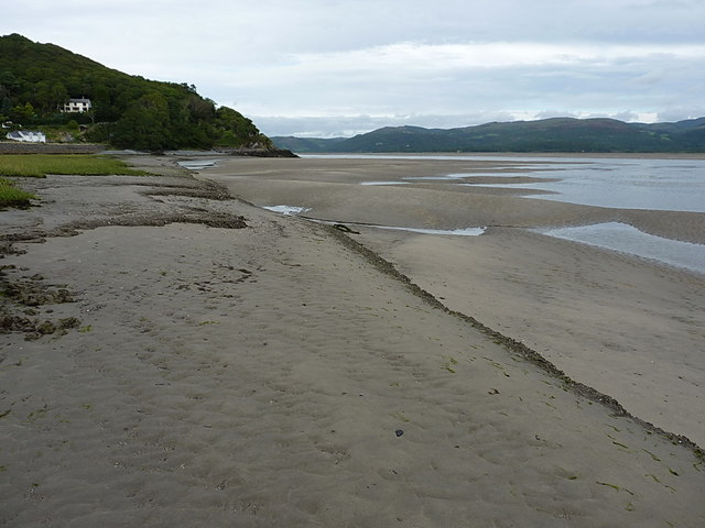
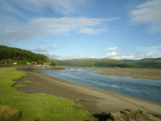
Coed Glegyrog-wen Images

Images are sourced within 2km of 52.559678/-3.9781358 or Grid Reference SN6697. Thanks to Geograph Open Source API. All images are credited.

Stone wall in Happy Valley
Salt marsh near Ynis Edwin
A493 east of Aberdovey
A493 towards Cwrt
A493 towards Cwrt
The Dovey estuary
The Dovey estuary
View across the Dovey estuary The railway can be seen in the foreground.
View across the Dovey estuary
The railway can be seen in the foreground.
A493 at Gogarth
A493 at Gogarth
A493 near Pont Pant-Eidal
From a Machynlleth-Aberystwyth train, saltmarsh by the Dovey estuary
The A493 west of Frongoch Climbing above the railway as the space between hill and shore gets squeezed.
The A493 west of Frongoch
Climbing above the railway as the space between hill and shore gets squeezed.
Sleepers by the railway A pile of disused sleepers, most still with chairs attached, lies at the entrance to what appears to be a maintenance area for the railway. The chairs are all of the two-bolt fixing type used by the Great Western Railway. For a closer look see <a href="https://www.geograph.org.uk/photo/3384225">SN6597 : Chair and sleeper detail</a>.
Sleepers by the railway
A pile of disused sleepers, most still with chairs attached, lies at the entrance to what appears to be a maintenance area for the railway. The chairs are all of the two-bolt fixing type used by the Great Western Railway. For a closer look see SN6597 : Chair and sleeper detail.
The Dovey estuary, from near Frongoch Looking over the Cambrian line to the estuary, where a rare pool of sunlight illuminates an otherwise dull and bitterly cold day.
The Dovey estuary, from near Frongoch
Looking over the Cambrian line to the estuary, where a rare pool of sunlight illuminates an otherwise dull and bitterly cold day.
The Dovey estuary south of Frongoch Looking over the railway to the estuary, with a snow-flecked Foel Goch rising beyond.
The Dovey estuary south of Frongoch
Looking over the railway to the estuary, with a snow-flecked Foel Goch rising beyond.
Cutting on the Cambrian line The railway cuts through a large chunk of rock; the left hand side of the rock has also been cut away to improve the line of road. For a closer look at the overbridge just this side of the cutting, see <a href="https://www.geograph.org.uk/photo/1703965">SN6697 : Railway overbridge near Frongoch</a> and <a href="https://www.geograph.org.uk/photo/1703957">SN6697 : Footpath under the railway</a>.
Cutting on the Cambrian line
The railway cuts through a large chunk of rock; the left hand side of the rock has also been cut away to improve the line of road. For a closer look at the overbridge just this side of the cutting, see SN6697 : Railway overbridge near Frongoch and SN6697 : Footpath under the railway.
Chair and sleeper detail
Estuarine mudbanks at Aber-Tafol Mud gives way to reasonable sand at low tide here as you head out into the Dyfi estuary, but you very quickly come up against the river; even at low tide, I reckon it was running 5 or 6 feet deep, and clearly couldn't be forded.
Estuarine mudbanks at Aber-Tafol
Mud gives way to reasonable sand at low tide here as you head out into the Dyfi estuary, but you very quickly come up against the river; even at low tide, I reckon it was running 5 or 6 feet deep, and clearly couldn't be forded.
Afon Dyfi / River Dovey
Downhill track More or less the same scene as <a href="https://www.geograph.org.uk/photo/45521">SN6498 : Track to Tyddyn-y-Briddell</a>, on a slightly brighter day, looking down into Cwm Maethlon from high on the track to Llyn Barfog.
Downhill track
More or less the same scene as SN6498 : Track to Tyddyn-y-Briddell, on a slightly brighter day, looking down into Cwm Maethlon from high on the track to Llyn Barfog.
Show me another place!

Coed Glegyrog-wen is located at Grid Ref: SN6697 (Lat: 52.559678, Lng: -3.9781358)

Unitary Authority: Gwynedd

Police Authority: North Wales

What 3 Words

///taxi.corrode.braced. Near Tywyn, Gwynedd

Related Wikis

Frongoch quarry, Aberdyfi

Frongoch slate quarry (also known as Fron-goch slate quarry or Fron-gôch slate quarry) was a slate quarry and mine in Mid Wales, approximately halfway...

Gogarth railway station

Gogarth railway station served a sparsely populated area on the north shore of the Dyfi estuary in the Welsh county of Merionethshire. == History == Opened...

Abertafol railway station

Abertafol railway station was a halt located on the north shore of the Dyfi estuary in the old Welsh county of Merionethshire (south Gwynedd). == History... ==

Ynys-hir RSPB reserve

Ynys-hir RSPB reserve is a nature reserve of the RSPB situated beside the Dyfi estuary in Ceredigion, mid Wales between Aberystwyth and Machynlleth. The...

Aberdyfi Castle

Aberdyfi Castle is a castle located near Glandyfi, Ceredigion, in Wales. All that now remains is the motte, which is referred to as Domen Las (traditionally...

Dyfi Estuary Mudflats

Dyfi Estuary Mudflats are mudflats on the estuary of the River Dyfi in Ceredigion, Wales, and are part of the Dyfi National Nature Reserve. == Ecology... ==

Hen Dyffryn Gwyn

Hen Dyffryn Gwyn is a Grade II* listed building in Tywyn, Gwynedd. The house has been dated to 1640 and is listed for being a well-preserved example of...

Afon Llyfnant

The River Llyfnant (Welsh: Afon Llyfnant) is a short river in Ceredigion, on the west coast of Wales. The river rises in the mountains south of Machynlleth...

Nearby Amenities

Located within 500m of 52.559678,-3.9781358
Created By: almien_coastlines
Source: PGS
Lat/Long: 52.555633/-3.979626
Source: PGS
Lat/Long: 52.5559792/-3.9785659
Source: PGS
Lat/Long: 52.5562456/-3.9774064
Source: PGS
Lat/Long: 52.5559179/-3.9767132
Source: PGS
Lat/Long: 52.5563658/-3.9759296
Source: PGS
Lat/Long: 52.5563801/-3.97535
Source: PGS
Lat/Long: 52.5563419/-3.9742777
Source: PGS
Lat/Long: 52.5562693/-3.9735605
Building: yes
Lat/Long: 52.5632717/-3.9776187
Railway: level_crossing
Lat/Long: 52.556095/-3.9783555
Pant Eidal
Place: hamlet
Source: OS Open Names
Lat/Long: 52.5575477/-3.9741834
The data included in this document is from www.openstreetmap.org. The data is made available under ODbL.

Have you been to Coed Glegyrog-wen?

Leave your review of Coed Glegyrog-wen below (or comments, questions and feedback).