Pant Eidal

Settlement in Merionethshire

Wales

Pant Eidal

Salt marsh near Ynis Edwin
Salt marsh near Ynis Edwin Credit: Chris Morgan

Pant Eidal is a small village located in the county of Merionethshire, Wales. Situated in the beautiful Snowdonia National Park, it lies approximately 3 miles north of Harlech and 4 miles south of Porthmadog. The village is home to a population of around 200 residents.

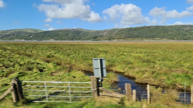
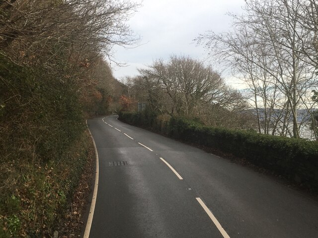
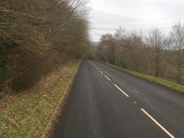
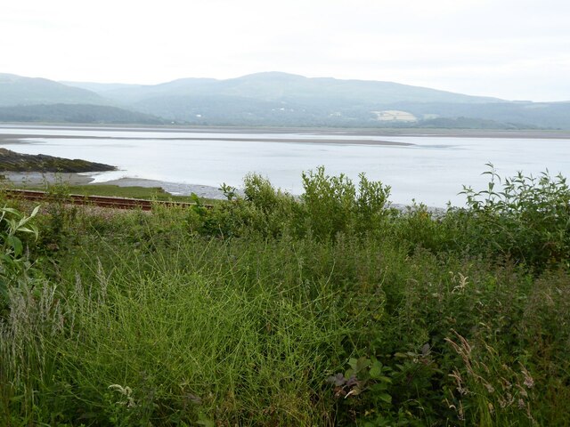
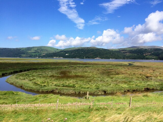
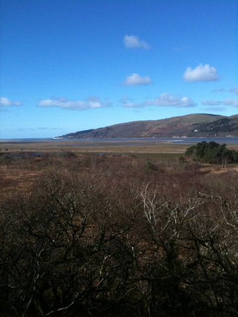
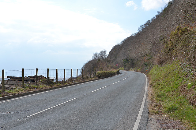
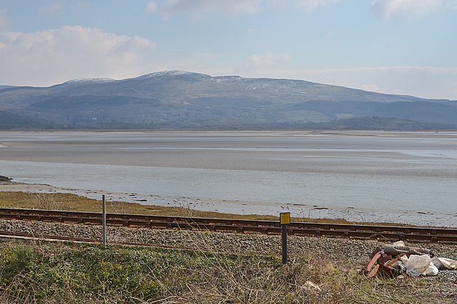
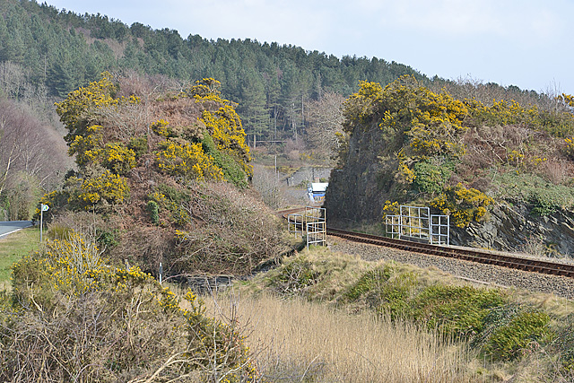
Pant Eidal is known for its picturesque setting, surrounded by rolling hills and green farmland. The area is a haven for nature enthusiasts, with numerous walking trails and cycling routes offering breathtaking views of the Snowdonia mountains and the nearby Cardigan Bay. The village itself is nestled in a valley, with the Afon Dwyryd river flowing through it.

The village has a rich history, with evidence of settlements dating back to the Neolithic period. In more recent times, Pant Eidal was predominantly an agricultural community, with farming being the mainstay of the local economy. Today, some residents still engage in farming, while others commute to nearby towns for work.

Despite its small size, Pant Eidal boasts a strong sense of community. The village has a community hall that serves as a focal point for various social events and gatherings. There is also a local pub, providing a cozy place for residents and visitors to relax and enjoy a drink.

Overall, Pant Eidal offers a tranquil and idyllic setting, making it an attractive destination for those seeking a peaceful retreat in the heart of the Welsh countryside.

If you have any feedback on the listing, please let us know in the comments section below.

Pant Eidal Images

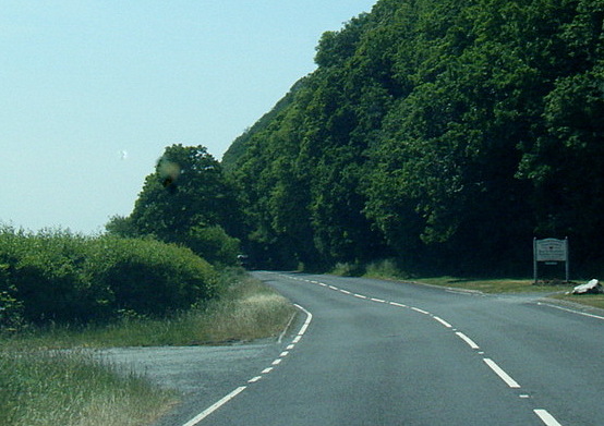
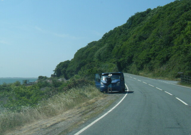
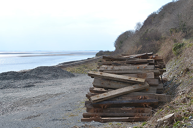
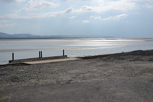
Images are sourced within 2km of 52.557532/-3.9741741 or Grid Reference SN6697. Thanks to Geograph Open Source API. All images are credited.

Salt marsh near Ynis Edwin
A493 east of Aberdovey
A493 towards Cwrt
A493 towards Cwrt
The Dovey estuary
The Dovey estuary
View across the Dovey estuary The railway can be seen in the foreground.
View across the Dovey estuary
The railway can be seen in the foreground.
A493 at Gogarth
A493 at Gogarth
A493 near Pont Pant-Eidal
From a Machynlleth-Aberystwyth train, saltmarsh by the Dovey estuary
View towards the Dovey estuary, from a bird hide in the Ynys hir RSPB site
Ynys-Hir and the hills behind, from the train
Memorial to Poggles This bench at Ynys Edwin is dedicated to Poggles, 1932-2006.
It is situated in the Ynyshir RSPB reserve.
Memorial to Poggles
This bench at Ynys Edwin is dedicated to Poggles, 1932-2006. It is situated in the Ynyshir RSPB reserve.
Marshy woodland; Ynyshir One of the habitats protected for all by the RSPB.
Marshy woodland; Ynyshir
One of the habitats protected for all by the RSPB.
The A493 west of Frongoch Climbing above the railway as the space between hill and shore gets squeezed.
The A493 west of Frongoch
Climbing above the railway as the space between hill and shore gets squeezed.
Sleepers by the railway A pile of disused sleepers, most still with chairs attached, lies at the entrance to what appears to be a maintenance area for the railway. The chairs are all of the two-bolt fixing type used by the Great Western Railway. For a closer look see <a href="https://www.geograph.org.uk/photo/3384225">SN6597 : Chair and sleeper detail</a>.
Sleepers by the railway
A pile of disused sleepers, most still with chairs attached, lies at the entrance to what appears to be a maintenance area for the railway. The chairs are all of the two-bolt fixing type used by the Great Western Railway. For a closer look see SN6597 : Chair and sleeper detail.
The Dovey estuary, from near Frongoch Looking over the Cambrian line to the estuary, where a rare pool of sunlight illuminates an otherwise dull and bitterly cold day.
The Dovey estuary, from near Frongoch
Looking over the Cambrian line to the estuary, where a rare pool of sunlight illuminates an otherwise dull and bitterly cold day.
The Dovey estuary south of Frongoch Looking over the railway to the estuary, with a snow-flecked Foel Goch rising beyond.
The Dovey estuary south of Frongoch
Looking over the railway to the estuary, with a snow-flecked Foel Goch rising beyond.
Cutting on the Cambrian line The railway cuts through a large chunk of rock; the left hand side of the rock has also been cut away to improve the line of road. For a closer look at the overbridge just this side of the cutting, see <a href="https://www.geograph.org.uk/photo/1703965">SN6697 : Railway overbridge near Frongoch</a> and <a href="https://www.geograph.org.uk/photo/1703957">SN6697 : Footpath under the railway</a>.
Cutting on the Cambrian line
The railway cuts through a large chunk of rock; the left hand side of the rock has also been cut away to improve the line of road. For a closer look at the overbridge just this side of the cutting, see SN6697 : Railway overbridge near Frongoch and SN6697 : Footpath under the railway.
Show me another place!

Pant Eidal is located at Grid Ref: SN6697 (Lat: 52.557532, Lng: -3.9741741)

Unitary Authority: Gwynedd

Police Authority: North Wales

What 3 Words

///knees.stormed.wimp. Near Tywyn, Gwynedd

Related Wikis

Frongoch quarry, Aberdyfi

Frongoch slate quarry (also known as Fron-goch slate quarry or Fron-gôch slate quarry) was a slate quarry and mine in Mid Wales, approximately halfway...

Gogarth railway station

Gogarth railway station served a sparsely populated area on the north shore of the Dyfi estuary in the Welsh county of Merionethshire. == History == Opened...

Abertafol railway station

Abertafol railway station was a halt located on the north shore of the Dyfi estuary in the old Welsh county of Merionethshire (south Gwynedd). == History... ==

Ynys-hir RSPB reserve

Ynys-hir RSPB reserve is a nature reserve of the RSPB situated beside the Dyfi estuary in Ceredigion, mid Wales between Aberystwyth and Machynlleth. The...

Nearby Amenities

Located within 500m of 52.557532,-3.9741741
Source: PGS
Lat/Long: 52.5553177/-3.9802542
Created By: almien_coastlines
Source: PGS
Lat/Long: 52.555633/-3.979626
Source: PGS
Lat/Long: 52.5559792/-3.9785659
Source: PGS
Lat/Long: 52.5562456/-3.9774064
Source: PGS
Lat/Long: 52.5559179/-3.9767132
Source: PGS
Lat/Long: 52.5563658/-3.9759296
Source: PGS
Lat/Long: 52.5563801/-3.97535
Source: PGS
Lat/Long: 52.5563419/-3.9742777
Source: PGS
Lat/Long: 52.5562693/-3.9735605
Source: PGS
Lat/Long: 52.5561033/-3.9727875
Source: PGS
Lat/Long: 52.5556659/-3.9725508
Source: PGS
Lat/Long: 52.5556737/-3.9722642
Source: PGS
Lat/Long: 52.5555302/-3.9718127
Source: PGS
Lat/Long: 52.5557715/-3.9704281
Source: PGS
Lat/Long: 52.556178/-3.9691324
Source: PGS
Lat/Long: 52.5562496/-3.9690854
Source: PGS
Lat/Long: 52.5566182/-3.9683001
Source: PGS
Lat/Long: 52.5570923/-3.9674212
Railway: level_crossing
Lat/Long: 52.556095/-3.9783555
Pant Eidal
Place: hamlet
Source: OS Open Names
Lat/Long: 52.5575477/-3.9741834
The data included in this document is from www.openstreetmap.org. The data is made available under ODbL.

Have you been to Pant Eidal?

Leave your review of Pant Eidal below (or comments, questions and feedback).