Allt y Brain

Wood, Forest in Cardiganshire

Wales

Allt y Brain

Parish church of St Cynfelyn at Llangynfelyn Apparently deconsecrated after 1998. The property was approved for sale in 2012 by the Representative Body 0f the Church in Wales <span class="nowrap"><a title="http://cinw.s3.amazonaws.com/wp-content/uploads/2013/08/RB-minutes-1213-English-on-line.pdf" rel="nofollow ugc noopener" href="http://cinw.s3.amazonaws.com/wp-content/uploads/2013/08/RB-minutes-1213-English-on-line.pdf">Link</a><img style="margin-left:2px;" alt="External link" title="External link - shift click to open in new window" src="https://s1.geograph.org.uk/img/external.png" width="10" height="10"/></span> (Page 40). A previous Geograph report (2015) <a href="https://www.geograph.org.uk/photo/4335284">SN6492 : The parish church of St. Cynfelyn, Llangynfelyn</a> was that the graveyard was closed and could not be entered. Now (in 2021) the grounds can be easily entered without restriction, but the building remains closed. Since 2015, two roof lights have been installed - possibly as part of a conversion to residential use, no further changes are evident but vegetation in the graveyard has been cut back. 

The church was listed in the 1960s. The Coflein description is here: <span class="nowrap"><a title="https://coflein.gov.uk/en/site/400469/" rel="nofollow ugc noopener" href="https://coflein.gov.uk/en/site/400469/">Link</a><img style="margin-left:2px;" alt="External link" title="External link - shift click to open in new window" src="https://s1.geograph.org.uk/img/external.png" width="10" height="10"/></span> and a more detailed description of the building is to be found here <span class="nowrap"><a title="https://www.dyfedarchaeology.org.uk/wp/discovery/projects/churches/st-cynfelyn-llangynfelyn-ceredigion/" rel="nofollow ugc noopener" href="https://www.dyfedarchaeology.org.uk/wp/discovery/projects/churches/st-cynfelyn-llangynfelyn-ceredigion/">Link</a><img style="margin-left:2px;" alt="External link" title="External link - shift click to open in new window" src="https://s1.geograph.org.uk/img/external.png" width="10" height="10"/></span>.
Parish church of St Cynfelyn at Llangynfelyn Credit: John Lucas

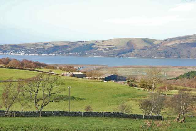
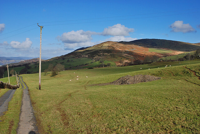
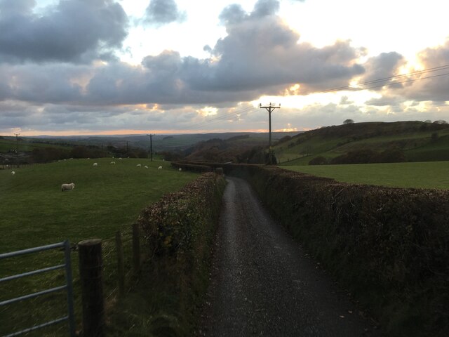
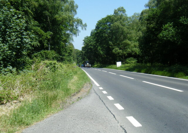
Allt y Brain is a picturesque woodland area located in Cardiganshire, Wales. Covering an area of approximately 100 hectares, it is known for its rich biodiversity and stunning natural beauty. The woodland is situated on the slopes of a hill, offering breathtaking views of the surrounding countryside.

The forest is predominantly made up of native tree species such as oak, beech, and ash, creating a diverse ecosystem that supports a wide range of flora and fauna. The dense canopy provides a habitat for various bird species, including woodpeckers, owls, and thrushes. Additionally, the forest floor is adorned with a colorful array of wildflowers and ferns, making it a haven for botany enthusiasts.

Visitors to Allt y Brain can enjoy a range of recreational activities, including hiking, birdwatching, and nature photography. There are well-maintained trails that wind through the woodland, offering opportunities to explore its hidden corners and discover its many natural wonders. The peaceful atmosphere and tranquil surroundings make it an ideal location for those seeking solace in nature.

Allt y Brain is also a popular destination for educational visits and scientific research. The diverse range of habitats within the woodland provides an excellent learning environment for students and researchers interested in ecology and conservation.

Overall, Allt y Brain is a remarkable woodland in Cardiganshire, providing a sanctuary for wildlife and a place of natural beauty for visitors to enjoy and appreciate.

If you have any feedback on the listing, please let us know in the comments section below.
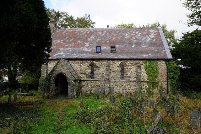
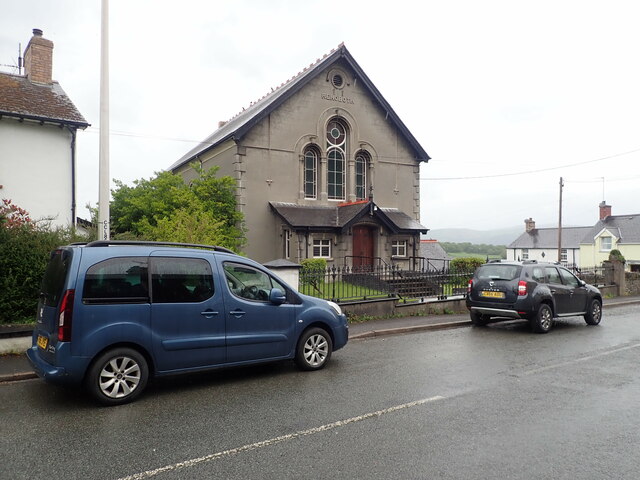
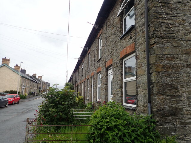
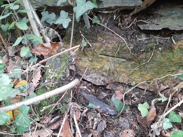
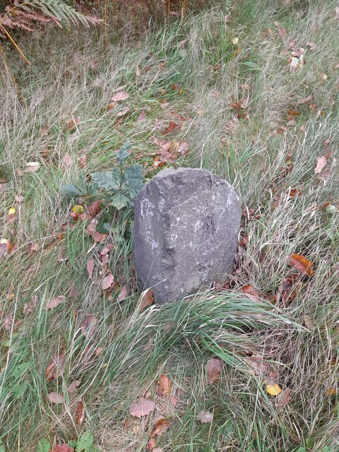
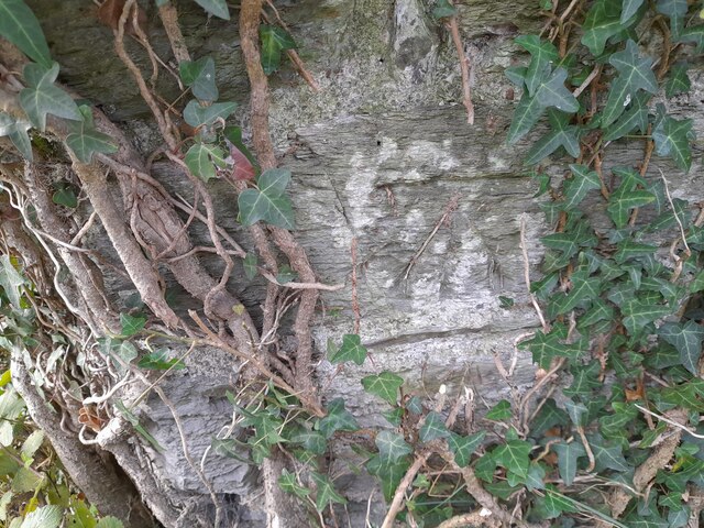
Allt y Brain Images

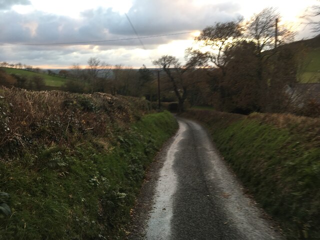
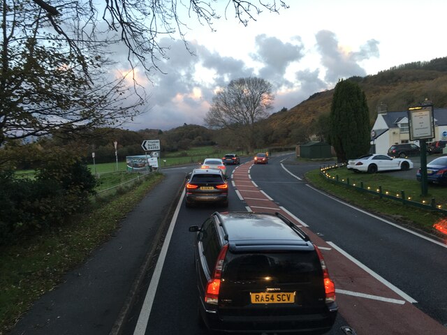
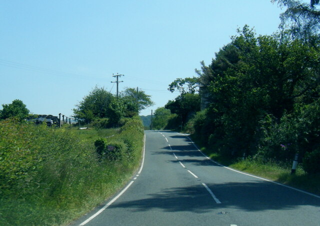
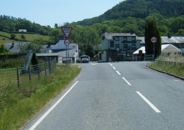
Images are sourced within 2km of 52.515095/-3.9762352 or Grid Reference SN6592. Thanks to Geograph Open Source API. All images are credited.

Parish church of St Cynfelyn at Llangynfelyn Apparently deconsecrated after 1998. The property was approved for sale in 2012 by the Representative Body 0f the Church in Wales <span class="nowrap"><a title="http://cinw.s3.amazonaws.com/wp-content/uploads/2013/08/RB-minutes-1213-English-on-line.pdf" rel="nofollow ugc noopener" href="http://cinw.s3.amazonaws.com/wp-content/uploads/2013/08/RB-minutes-1213-English-on-line.pdf">Link</a><img style="margin-left:2px;" alt="External link" title="External link - shift click to open in new window" src="https://s1.geograph.org.uk/img/external.png" width="10" height="10"/></span> (Page 40). A previous Geograph report (2015) <a href="https://www.geograph.org.uk/photo/4335284">SN6492 : The parish church of St. Cynfelyn, Llangynfelyn</a> was that the graveyard was closed and could not be entered. Now (in 2021) the grounds can be easily entered without restriction, but the building remains closed. Since 2015, two roof lights have been installed - possibly as part of a conversion to residential use, no further changes are evident but vegetation in the graveyard has been cut back. 

The church was listed in the 1960s. The Coflein description is here: <span class="nowrap"><a title="https://coflein.gov.uk/en/site/400469/" rel="nofollow ugc noopener" href="https://coflein.gov.uk/en/site/400469/">Link</a><img style="margin-left:2px;" alt="External link" title="External link - shift click to open in new window" src="https://s1.geograph.org.uk/img/external.png" width="10" height="10"/></span> and a more detailed description of the building is to be found here <span class="nowrap"><a title="https://www.dyfedarchaeology.org.uk/wp/discovery/projects/churches/st-cynfelyn-llangynfelyn-ceredigion/" rel="nofollow ugc noopener" href="https://www.dyfedarchaeology.org.uk/wp/discovery/projects/churches/st-cynfelyn-llangynfelyn-ceredigion/">Link</a><img style="margin-left:2px;" alt="External link" title="External link - shift click to open in new window" src="https://s1.geograph.org.uk/img/external.png" width="10" height="10"/></span>.
Parish church of St Cynfelyn at Llangynfelyn
Apparently deconsecrated after 1998. The property was approved for sale in 2012 by the Representative Body 0f the Church in Wales LinkExternal link (Page 40). A previous Geograph report (2015) SN6492 : The parish church of St. Cynfelyn, Llangynfelyn was that the graveyard was closed and could not be entered. Now (in 2021) the grounds can be easily entered without restriction, but the building remains closed. Since 2015, two roof lights have been installed - possibly as part of a conversion to residential use, no further changes are evident but vegetation in the graveyard has been cut back. The church was listed in the 1960s. The Coflein description is here: LinkExternal link and a more detailed description of the building is to be found here LinkExternal link.
Capel Rehoboth, Tre Taliesin Welsh Calvinistic Methodist chapel
Capel Rehoboth, Tre Taliesin
Welsh Calvinistic Methodist chapel
Terraced housing, Tre Taliesin
View to the Dyfi estuary Looking over Gwar-cwm-isaf farm,
View to the Dyfi estuary
Looking over Gwar-cwm-isaf farm,
Foel Goch seen from Bedd Taliesin
Bedd Taliesin Bedd Taliesin, a round-kerb cairn in Ceredigion, Wales is rumoured to be the legendary grave of the esteemed 6th-century Welsh poet Taliesin, Chief Bard of the Island of Britain.
Bedd Taliesin
Bedd Taliesin, a round-kerb cairn in Ceredigion, Wales is rumoured to be the legendary grave of the esteemed 6th-century Welsh poet Taliesin, Chief Bard of the Island of Britain.
Bedd Taliesin Round-kerb cairn in Ceredigion, Wales rumoured to be the legendary grave of the esteemed 6th-century Welsh poet Taliesin, Chief Bard of the Island of Britain
Bedd Taliesin
Round-kerb cairn in Ceredigion, Wales rumoured to be the legendary grave of the esteemed 6th-century Welsh poet Taliesin, Chief Bard of the Island of Britain
Soar Wesleyan Methodist Chapel - yr Hen Gapel Built in the early 1800's, it was converted to a Sunday School in 1877.
Soar Wesleyan Methodist Chapel - yr Hen Gapel
Built in the early 1800's, it was converted to a Sunday School in 1877.
Ordnance Survey Cut Mark This OS cut mark can be found on the wall west side of the road. It marks a point 41.319m above mean sea level.
Ordnance Survey Cut Mark
This OS cut mark can be found on the wall west side of the road. It marks a point 41.319m above mean sea level.
Milestone - Aberystwyth 10 Badly damaged milestone east side of road.
Milestone - Aberystwyth 10
Badly damaged milestone east side of road.
Ordnance Survey Cut Mark This OS cut mark can be found on the wall post NW side of the road. It marks a point 23.284m above mean sea level.
Ordnance Survey Cut Mark
This OS cut mark can be found on the wall post NW side of the road. It marks a point 23.284m above mean sea level.
Minor road near Tre Taliesin
Minor road towards Tal-y-Bont
Junctions on the A487 at Tre’r-Ddol
B4353 near Tan-y-llan Farm
B4353 at the A487 junction
A487 in The Park woodland
Roadworks on the A487 towards Furnace
Show me another place!

Allt y Brain is located at Grid Ref: SN6592 (Lat: 52.515095, Lng: -3.9762352)

Unitary Authority: Ceredigion

Police Authority: Dyfed Powys

What 3 Words

///victor.spouting.provide. Near Borth, Ceredigion

Related Wikis

Craig-y-penrhyn

Craig-y-penrhyn is a hamlet in the community of Llangynfelyn, Ceredigion, Wales, which is 79.3 miles (127.7 km) from Cardiff and 178.1 miles (286.6 km...

Llangynfelyn

Llangynfelyn is both a parish and a community in Ceredigion, Wales, midway between Aberystwyth and Machynlleth. It stretches from the Leri estuary in...

Coed Cwm Clettwr

Coed Cwm Clettwr is a Site of Special Scientific Interest in Ceredigion, west Wales. It is designated for mature broadleaf woodland.The alternative spelling...

Neuaddyrynys

Neuaddyrynys is a small village in the community of Llangynfelyn, Ceredigion, Wales, which is 78.9 miles (127 km) from Cardiff and 178.2 miles (286.7...

Nearby Amenities

Located within 500m of 52.515095,-3.9762352
Tre'r-ddôl
Is In: Ceredigion, Wales, UK
Name Cy: Tre'r-ddôl
Place: village
Source: npe-local knowledge
Wikidata: Q6661559
Lat/Long: 52.5119965/-3.9763153
Crossing
Crossing: uncontrolled
Crossing Ref: island
Kerb: flush
Tactile Paving: yes
Lat/Long: 52.5121782/-3.9769544
Cafe
Siop a Chaffi Cymunedol Cletwr
Addr City: Tre'r Ddôl, Machynlleth
Addr Housename: Cletwr
Addr Postcode: SY20 8PN
Addr Street: North Road
Fhrs Id: 1009378
Internet Access Fee: no
Name Cy: Siop a Chaffi Cymunedol Cletwr
Opening Hours: 9.30 - 16:00 Shop open to 17:30.
Opening Hours Url: https://facebook.com/Cletwr
Outdoor Seating: yes
Website: https://cletwr.com/
Lat/Long: 52.5126214/-3.9755642
Place: farm
Lat/Long: 52.5129791/-3.9813489
Place: farm
Lat/Long: 52.5165701/-3.9769716
Direction: 215
Generator Method: photovoltaic
Generator Output Electricity: yes
Generator Solar Modules: 10
Generator Source: solar
Generator Type: solar_photovoltaic_panel
Location: roof
Power: generator
Lat/Long: 52.5108628/-3.9775007
Direction: 215
Generator Method: photovoltaic
Generator Output Electricity: yes
Generator Solar Modules: 4
Generator Source: solar
Generator Type: solar_photovoltaic_panel
Location: roof
Power: generator
Lat/Long: 52.5108081/-3.9774008
Direction: 215
Generator Method: photovoltaic
Generator Output Electricity: yes
Generator Solar Modules: 4
Generator Source: solar
Generator Type: solar_photovoltaic_panel
Location: roof
Power: generator
Lat/Long: 52.5109419/-3.9774732
Direction: ESE
Generator Method: photovoltaic
Generator Output Electricity: yes
Generator Solar Modules: 10
Generator Source: solar
Generator Type: solar_photovoltaic_panel
Location: roof
Power: generator
Lat/Long: 52.512052/-3.9764647
Direction: ESE
Generator Method: photovoltaic
Generator Output Electricity: yes
Generator Solar Modules: 7
Generator Source: solar
Generator Type: solar_photovoltaic_panel
Location: roof
Power: generator
Lat/Long: 52.5118683/-3.9766216
Direction: 195
Generator Method: photovoltaic
Generator Output Electricity: yes
Generator Solar Modules: 8
Generator Source: solar
Generator Type: solar_photovoltaic_panel
Location: roof
Power: generator
Lat/Long: 52.5119659/-3.9783778
Direction: 195
Generator Method: photovoltaic
Generator Output Electricity: yes
Generator Solar Modules: 10
Generator Source: solar
Generator Type: solar_photovoltaic_panel
Location: roof
Power: generator
Lat/Long: 52.5119144/-3.978125
The data included in this document is from www.openstreetmap.org. The data is made available under ODbL.

Have you been to Allt y Brain?

Leave your review of Allt y Brain below (or comments, questions and feedback).