Coed Cwm-Cib-canol

Wood, Forest in Carmarthenshire

Wales

Coed Cwm-Cib-canol

Bridleway through Helgwm Forest
Bridleway through Helgwm Forest Credit: Alan Hughes

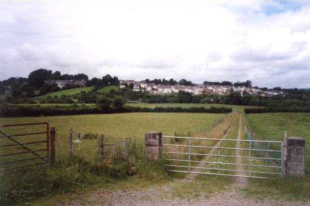
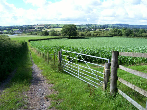
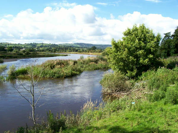
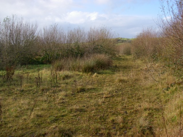
Coed Cwm-Cib-canol, located in Carmarthenshire, Wales, is a scenic woodland area rich in natural beauty and biodiversity. Spanning over a vast area, it is a popular destination for nature lovers, hikers, and wildlife enthusiasts.

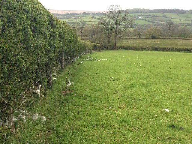
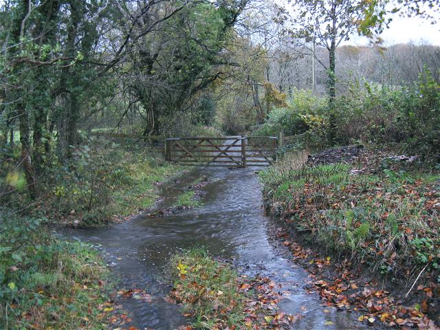
The woodland encompasses a variety of habitats, including ancient oak and beech trees, native woodlands, and meandering streams. The diverse flora and fauna found here make it a haven for wildlife, with numerous species of birds, mammals, insects, and plants thriving within its boundaries.

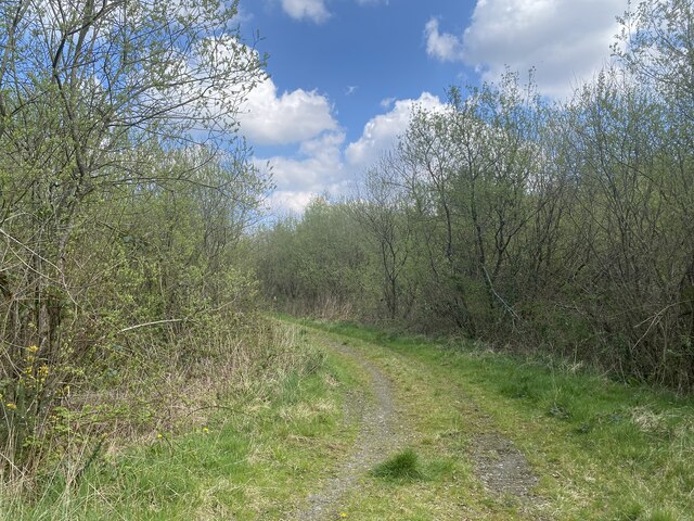
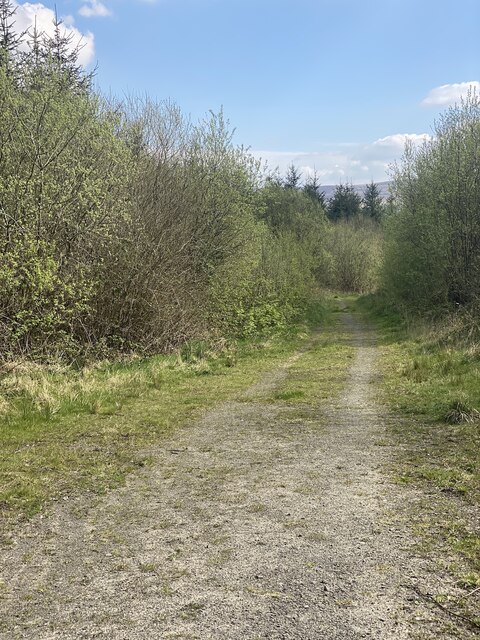
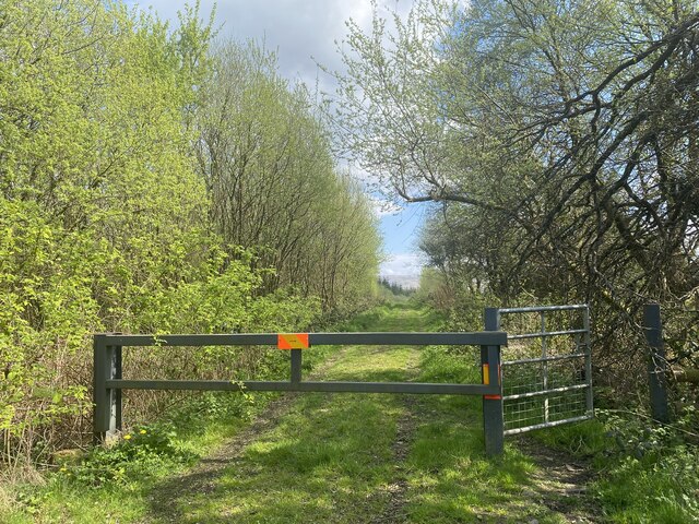
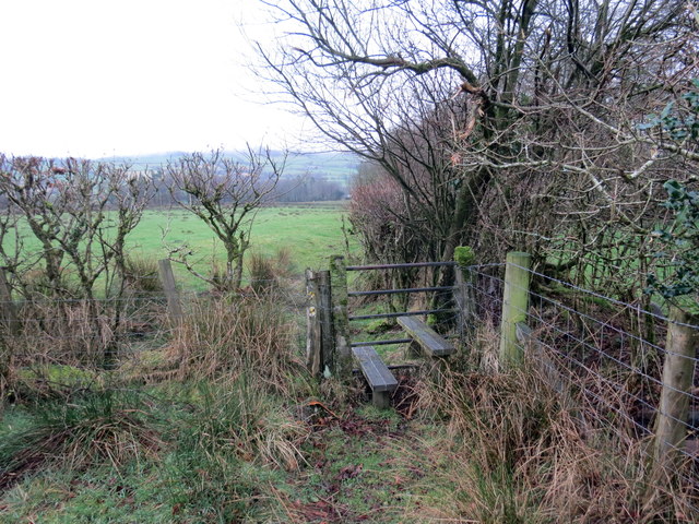
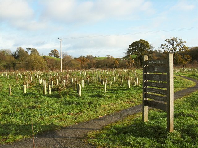
Visitors to Coed Cwm-Cib-canol can enjoy exploring the extensive network of walking trails that wind through the forest, offering breathtaking views and opportunities for peaceful solitude. These trails cater to all abilities, from leisurely strolls to more challenging hikes.

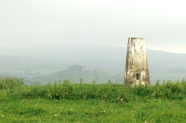
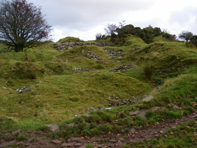
The woodland is also home to a wealth of historical and cultural features. Ruined farmsteads and ancient burial sites can be discovered while exploring the area, offering glimpses into its intriguing past.

Coed Cwm-Cib-canol is managed by conservation organizations, ensuring the preservation of its natural habitats and promoting sustainable practices. The woodland provides a valuable educational resource, with interpretive signs and information boards located throughout, allowing visitors to learn about the local ecology and the importance of conservation.

Overall, Coed Cwm-Cib-canol is a captivating woodland destination that offers a peaceful retreat for nature lovers and a chance to immerse oneself in the beauty of the Welsh countryside.

If you have any feedback on the listing, please let us know in the comments section below.

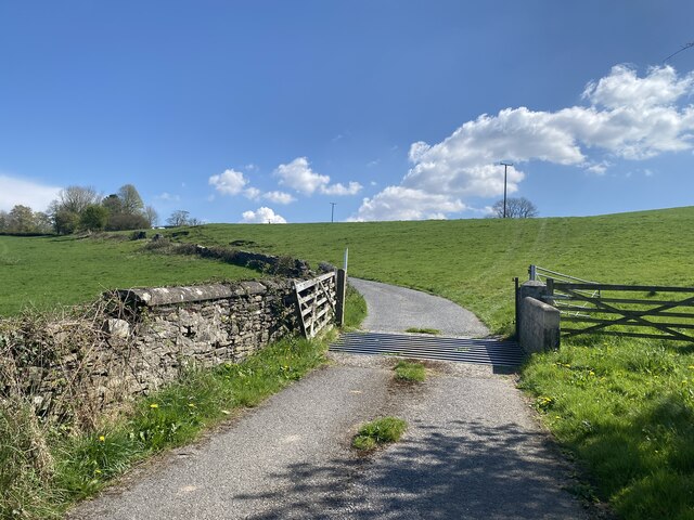
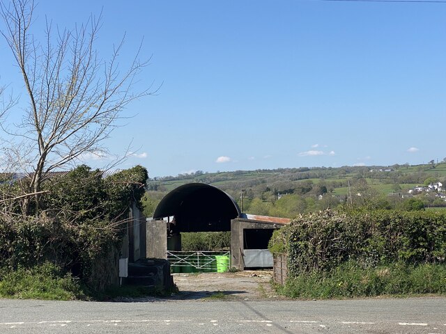
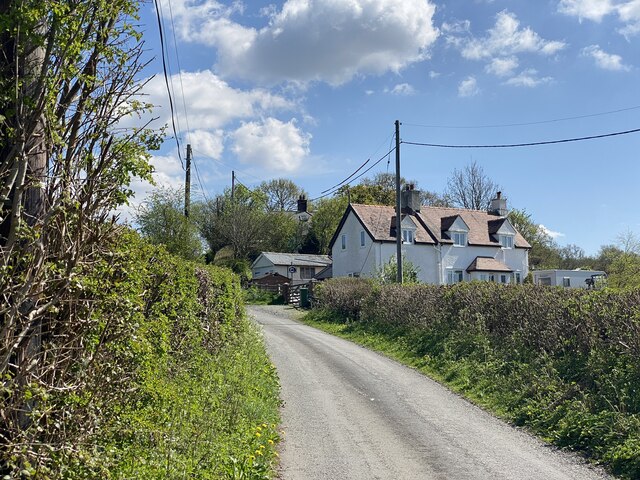
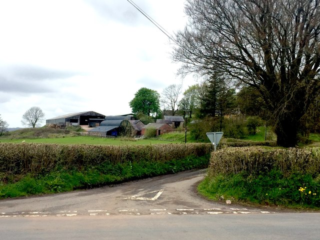
Coed Cwm-Cib-canol Images

Images are sourced within 2km of 51.873542/-3.9597119 or Grid Reference SN6521. Thanks to Geograph Open Source API. All images are credited.

Bridleway through Helgwm Forest
Bridleway into Helgwm Forest
Footpath and barrier The Beacons Way and Heart of Wales Line Trail meet here, at the edge of Helgwm Forest.
Footpath and barrier
The Beacons Way and Heart of Wales Line Trail meet here, at the edge of Helgwm Forest.
Pentre Parr Lodge
Pentre Parr Lodge
Track to Pentre Parr Farm
Tygwyn Farm
Tygwyn Farm
Lane to Tygwyn Farm
Lane to Tygwyn Farm
Onen Fawr Road leading to Onen Fawr.
Onen Fawr
Road leading to Onen Fawr.
Hedge and field Grazing pasture land.  Note the wool attached to the fence.
Hedge and field
Grazing pasture land. Note the wool attached to the fence.
Llwybr i Drap / Footpath to Trap Llwybr cyhoeddus yn arwain at bentre Trap. 

A public footpath heading towards the village of Trap.
Llwybr i Drap / Footpath to Trap
Llwybr cyhoeddus yn arwain at bentre Trap. A public footpath heading towards the village of Trap.
Trig point overlooking Carreg Cennen Castle This trig point lies in a fenced field right by the roadside. To see the castle to the southeast you need to stand up on the verge.
Trig point overlooking Carreg Cennen Castle
This trig point lies in a fenced field right by the roadside. To see the castle to the southeast you need to stand up on the verge.
Footpath to Llandeilo At the end of the cart-track the path turns left to the suspension footbridge (that can just be seen in the photo) over the River Twyi.
Footpath to Llandeilo
At the end of the cart-track the path turns left to the suspension footbridge (that can just be seen in the photo) over the River Twyi.
Maize crop Looking along a farm track to the floodplain of the Afon Tywi.
Maize crop
Looking along a farm track to the floodplain of the Afon Tywi.
Afon Tywi A view of the meandering river, somewhat swollen by unseasonal rain in this very wet summer.
Afon Tywi
A view of the meandering river, somewhat swollen by unseasonal rain in this very wet summer.
A ride in Helgwm The minor top of Pen y lan is seen in the distance beyond this Forestry Commission mixed plantation.
A ride in Helgwm
The minor top of Pen y lan is seen in the distance beyond this Forestry Commission mixed plantation.
Along the Tilestones outcrop A distinctive flaggy micaceous sandstone marks the transition from the Silurian period into the Devonian in south Wales.  It was formerly quarried along much of its outcrop for use as roof tiles.
Along the Tilestones outcrop
A distinctive flaggy micaceous sandstone marks the transition from the Silurian period into the Devonian in south Wales. It was formerly quarried along much of its outcrop for use as roof tiles.
Flooded track in Cwm Cib The map shows a ford around here but this is ridiculous. The flash flooding is particularly bad this evening
Flooded track in Cwm Cib
The map shows a ford around here but this is ridiculous. The flash flooding is particularly bad this evening
Spartiate Grove at Coed Tregib This grove is named after one of the ships in the battle of Trafalgar and is one of the 200 year commemmerative Trafalgar Woods planted by the Woodland Trust. <span class="nowrap"><a title="http://www.treeforall.org.uk/trafalgar/TrafalgarWoods/Otherwoods/Spartiate/" rel="nofollow ugc noopener" href="http://www.treeforall.org.uk/trafalgar/TrafalgarWoods/Otherwoods/Spartiate/">Link</a><img style="margin-left:2px;" alt="External link" title="External link - shift click to open in new window" src="https://s1.geograph.org.uk/img/external.png" width="10" height="10"/></span>
This grove is immediately adjacent to the car park on the road from Ffairfach to Bethlehem. It was planted by local residents, schoolchildren, guides, scouts and cadets.
Spartiate Grove at Coed Tregib
This grove is named after one of the ships in the battle of Trafalgar and is one of the 200 year commemmerative Trafalgar Woods planted by the Woodland Trust. LinkExternal link This grove is immediately adjacent to the car park on the road from Ffairfach to Bethlehem. It was planted by local residents, schoolchildren, guides, scouts and cadets.
Show me another place!

Coed Cwm-Cib-canol is located at Grid Ref: SN6521 (Lat: 51.873542, Lng: -3.9597119)

Unitary Authority: Carmarthenshire

Police Authority: Dyfed Powys

What 3 Words

///confetti.curated.twisting. Near Llandeilo, Carmarthenshire

Related Wikis

Caeau Tir-mawr

Caeau Tir-mawr is a Site of Special Scientific Interest in Carmarthen & Dinefwr, Wales. == External links == Description at Brecon Beacons National Park...

Tregyb Woodlands

Tregyb Woodlands (Welsh: Coedydd Tregyb) is a Site of Special Scientific Interest (SSSI) in Carmarthen & Dinefwr, Wales. Designated as a SSSI since 1980...

Llandeilo (electoral ward)

Llandeilo is the name of an electoral ward for Carmarthenshire County Council, which includes the communities of Llandeilo and Dyffryn Cennen, in Carmarthenshire...

Ysgol Tre-Gib

Ysgol Tre-Gib was a bilingual, English language / Welsh language comprehensive school for pupils aged 11 yrs to 18 years based in Ffairfach, Llandeilo...

Nearby Amenities

Located within 500m of 51.873542,-3.9597119
Place: farm
Lat/Long: 51.8774464/-3.9589969
Place: farm
Lat/Long: 51.8726746/-3.9539053
The data included in this document is from www.openstreetmap.org. The data is made available under ODbL.

Have you been to Coed Cwm-Cib-canol?

Leave your review of Coed Cwm-Cib-canol below (or comments, questions and feedback).