Coed Llwyn-bedw

Wood, Forest in Carmarthenshire

Wales

Coed Llwyn-bedw

Bridleway through Helgwm Forest
Bridleway through Helgwm Forest Credit: Alan Hughes

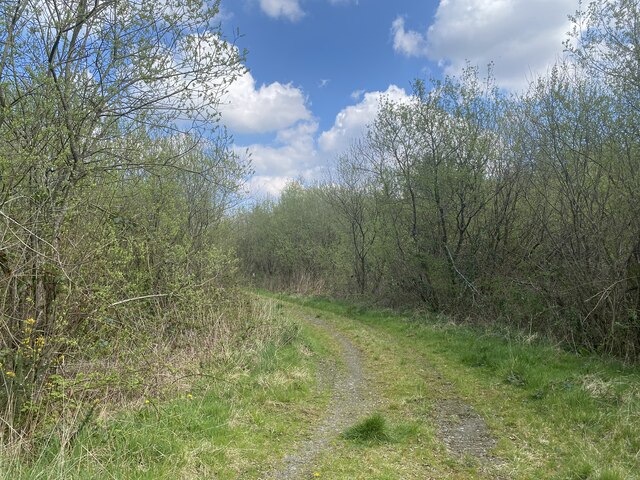
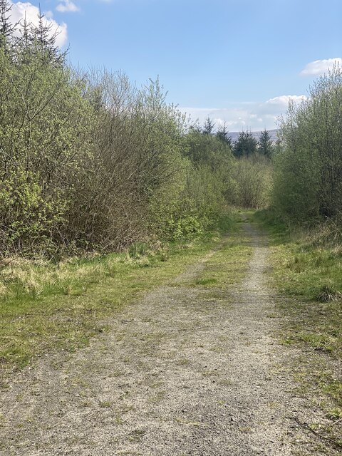
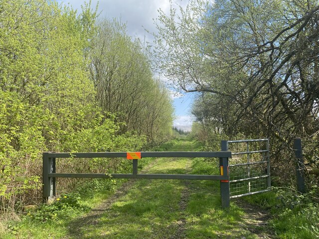
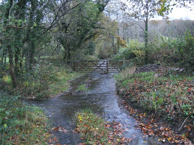
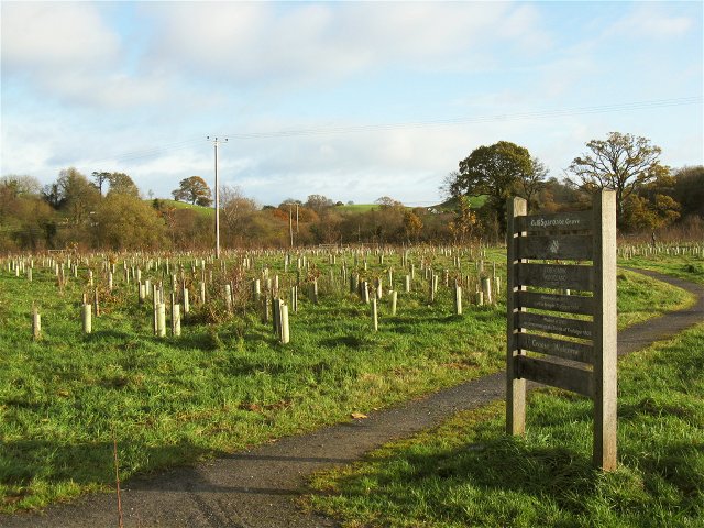
Coed Llwyn-bedw is a picturesque woodland located in Carmarthenshire, Wales. Covering an area of approximately 200 acres, it is a popular destination for nature enthusiasts and outdoor enthusiasts alike. The name "Coed Llwyn-bedw" translates to "Wood of the Birch Grove" in English, an apt description of the dominant tree species found in the area.

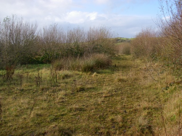
The woodland is characterized by its diverse range of flora and fauna, providing a haven for wildlife. Visitors can expect to encounter a variety of bird species, including the elusive red kite and the melodious song thrush. The forest floor is adorned with a carpet of wildflowers during the spring and summer months, adding vibrant colors to the serene landscape.

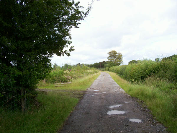
Hiking and walking trails crisscross the woodland, providing ample opportunities for exploration. The paths wind through ancient oak trees, creating a sense of enchantment and tranquility. There are also picnic areas and benches scattered throughout, allowing visitors to take a moment to appreciate the natural beauty surrounding them.

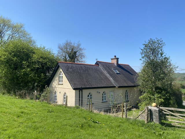
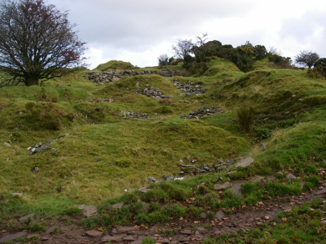
Coed Llwyn-bedw is not only a place of natural beauty but also holds historical significance. The forest has remnants of prehistoric settlements, including burial mounds and standing stones, hinting at its long-standing human connection. It is a place where visitors can immerse themselves in both the natural and cultural heritage of Carmarthenshire.

In conclusion, Coed Llwyn-bedw is a captivating woodland that offers a peaceful retreat from the hustle and bustle of everyday life. With its diverse flora and fauna, well-maintained trails, and historical significance, it is a must-visit destination for nature enthusiasts and history buffs alike.

If you have any feedback on the listing, please let us know in the comments section below.

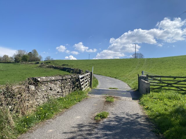
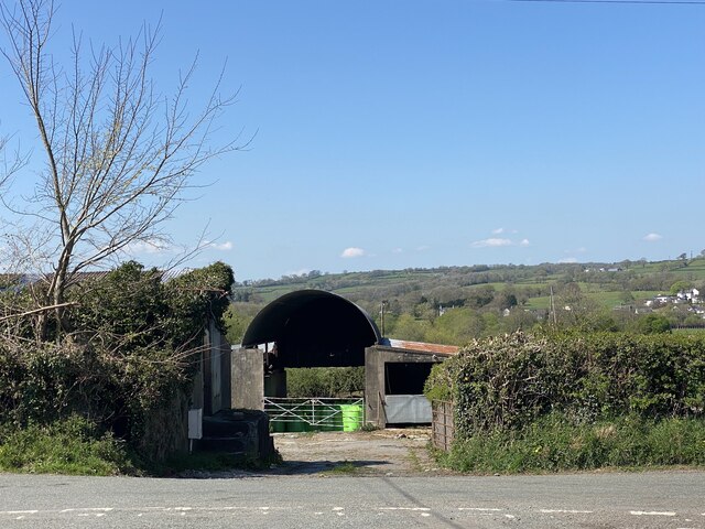
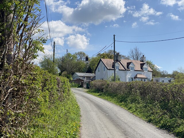
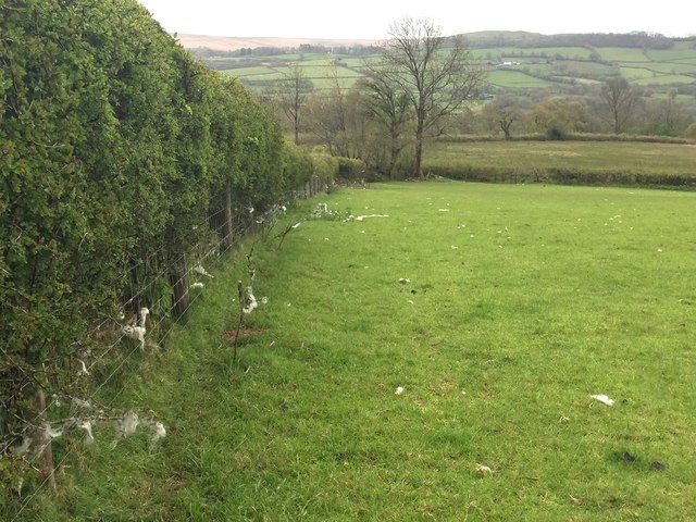
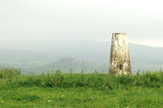
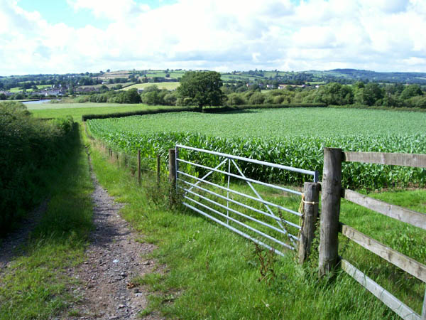
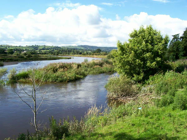
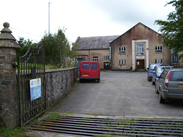
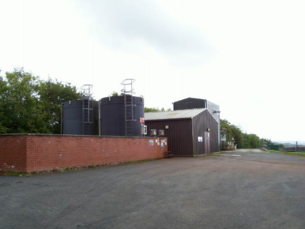
Coed Llwyn-bedw Images

Images are sourced within 2km of 51.876862/-3.9531297 or Grid Reference SN6521. Thanks to Geograph Open Source API. All images are credited.

Bridleway through Helgwm Forest
Bridleway into Helgwm Forest
Footpath and barrier The Beacons Way and Heart of Wales Line Trail meet here, at the edge of Helgwm Forest.
Footpath and barrier
The Beacons Way and Heart of Wales Line Trail meet here, at the edge of Helgwm Forest.
Pentre Parr Lodge
Pentre Parr Lodge
Track to Pentre Parr Farm
Tygwyn Farm
Tygwyn Farm
Lane to Tygwyn Farm
Lane to Tygwyn Farm
Hedge and field Grazing pasture land.  Note the wool attached to the fence.
Hedge and field
Grazing pasture land. Note the wool attached to the fence.
Trig point overlooking Carreg Cennen Castle This trig point lies in a fenced field right by the roadside. To see the castle to the southeast you need to stand up on the verge.
Trig point overlooking Carreg Cennen Castle
This trig point lies in a fenced field right by the roadside. To see the castle to the southeast you need to stand up on the verge.
Maize crop Looking along a farm track to the floodplain of the Afon Tywi.
Maize crop
Looking along a farm track to the floodplain of the Afon Tywi.
Afon Tywi A view of the meandering river, somewhat swollen by unseasonal rain in this very wet summer.
Afon Tywi
A view of the meandering river, somewhat swollen by unseasonal rain in this very wet summer.
Water treatment works Welsh Water's Bryn Gwynne filtration works, located very strangely high on a hill.
Water treatment works
Welsh Water's Bryn Gwynne filtration works, located very strangely high on a hill.
Chemical tanks Storage for treatment chemicals at Bryn Gwyn water works.
Chemical tanks
Storage for treatment chemicals at Bryn Gwyn water works.
Track to Glan-brwynant Access track past woodland that has been clear-felled in the distance.
Track to Glan-brwynant
Access track past woodland that has been clear-felled in the distance.
A ride in Helgwm The minor top of Pen y lan is seen in the distance beyond this Forestry Commission mixed plantation.
A ride in Helgwm
The minor top of Pen y lan is seen in the distance beyond this Forestry Commission mixed plantation.
Along the Tilestones outcrop A distinctive flaggy micaceous sandstone marks the transition from the Silurian period into the Devonian in south Wales.  It was formerly quarried along much of its outcrop for use as roof tiles.
Along the Tilestones outcrop
A distinctive flaggy micaceous sandstone marks the transition from the Silurian period into the Devonian in south Wales. It was formerly quarried along much of its outcrop for use as roof tiles.
Flooded track in Cwm Cib The map shows a ford around here but this is ridiculous. The flash flooding is particularly bad this evening
Flooded track in Cwm Cib
The map shows a ford around here but this is ridiculous. The flash flooding is particularly bad this evening
Spartiate Grove at Coed Tregib This grove is named after one of the ships in the battle of Trafalgar and is one of the 200 year commemmerative Trafalgar Woods planted by the Woodland Trust. <span class="nowrap"><a title="http://www.treeforall.org.uk/trafalgar/TrafalgarWoods/Otherwoods/Spartiate/" rel="nofollow ugc noopener" href="http://www.treeforall.org.uk/trafalgar/TrafalgarWoods/Otherwoods/Spartiate/">Link</a><img style="margin-left:2px;" alt="External link" title="External link - shift click to open in new window" src="https://s1.geograph.org.uk/img/external.png" width="10" height="10"/></span>
This grove is immediately adjacent to the car park on the road from Ffairfach to Bethlehem. It was planted by local residents, schoolchildren, guides, scouts and cadets.
Spartiate Grove at Coed Tregib
This grove is named after one of the ships in the battle of Trafalgar and is one of the 200 year commemmerative Trafalgar Woods planted by the Woodland Trust. LinkExternal link This grove is immediately adjacent to the car park on the road from Ffairfach to Bethlehem. It was planted by local residents, schoolchildren, guides, scouts and cadets.
Show me another place!

Coed Llwyn-bedw is located at Grid Ref: SN6521 (Lat: 51.876862, Lng: -3.9531297)

Unitary Authority: Carmarthenshire

Police Authority: Dyfed Powys

What 3 Words

///tastes.occupiers.tube. Near Llandeilo, Carmarthenshire

Related Wikis

Caeau Tir-mawr

Caeau Tir-mawr is a Site of Special Scientific Interest in Carmarthen & Dinefwr, Wales. == External links == Description at Brecon Beacons National Park...

Tregyb Woodlands

Tregyb Woodlands (Welsh: Coedydd Tregyb) is a Site of Special Scientific Interest (SSSI) in Carmarthen & Dinefwr, Wales. Designated as a SSSI since 1980...

Llandeilo (electoral ward)

Llandeilo is the name of an electoral ward for Carmarthenshire County Council, which includes the communities of Llandeilo and Dyffryn Cennen, in Carmarthenshire...

Cae Cilmaenllwyd

Cae Cilmaenllwyd is a Site of Special Scientific Interest in Carmarthenshire, Wales. == References == == See also == List of Sites of Special Scientific...

Nearby Amenities

Located within 500m of 51.876862,-3.9531297
Place: farm
Lat/Long: 51.8774464/-3.9589969
Place: farm
Lat/Long: 51.8726746/-3.9539053
The data included in this document is from www.openstreetmap.org. The data is made available under ODbL.

Have you been to Coed Llwyn-bedw?

Leave your review of Coed Llwyn-bedw below (or comments, questions and feedback).