Llechwen-dderi Wood
Wood, Forest in Carmarthenshire
Wales
Llechwen-dderi Wood

Llechwen-dderi Wood is a picturesque woodland located in Carmarthenshire, Wales. Covering an area of approximately 200 acres, it is known for its natural beauty and rich biodiversity. The wood is situated amidst rolling hills and is easily accessible by foot or by car.
The woodland is predominantly composed of native broadleaf trees, such as oak, beech, and ash, which create a dense canopy overhead. This provides a cool and tranquil atmosphere, making it an ideal spot for nature enthusiasts and hikers. The forest floor is covered in a carpet of mosses, ferns, and wildflowers, adding to the woodland's enchanting charm.
Llechwen-dderi Wood is also home to a wide variety of wildlife. Birdwatchers will be delighted to spot species such as woodpeckers, nuthatches, and buzzards, while small mammals including squirrels, badgers, and foxes can also be seen here. The wood is a haven for insects and butterflies, with numerous species thriving in its diverse ecosystem.
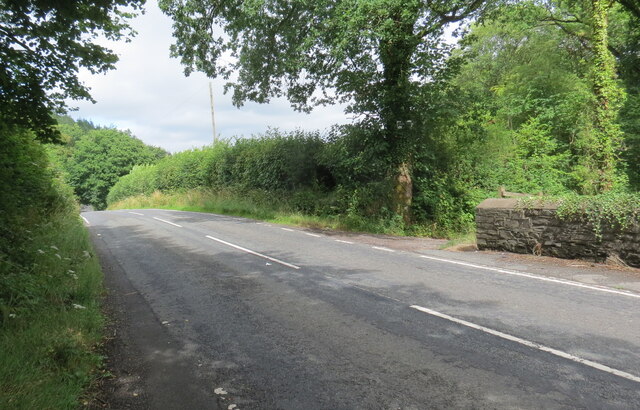
Visitors can enjoy leisurely walks along the well-maintained footpaths that wind through the woodland, taking in the scenic views and listening to the tranquil sounds of nature. There are also picnic areas scattered throughout the wood, providing the perfect opportunity to relax and enjoy a meal amidst the peaceful surroundings.
Llechwen-dderi Wood offers an escape from the hustle and bustle of everyday life, allowing visitors to connect with nature and experience the beauty of the Welsh countryside.
If you have any feedback on the listing, please let us know in the comments section below.
Llechwen-dderi Wood Images
Images are sourced within 2km of 51.910738/-3.9616221 or Grid Reference SN6525. Thanks to Geograph Open Source API. All images are credited.


![Llwybr Glan Thames / Glan Thames path Llwybr a heol fynedfa ym mynd i lawr y waered tuag at anhedd-dy o'r enw Glan Thames.
A path and access road descending towards a property known as Glan Thames (trans. bank of the Thames [stream]).](https://s2.geograph.org.uk/geophotos/07/24/25/7242546_92900d87.jpg)


Llechwen-dderi Wood is located at Grid Ref: SN6525 (Lat: 51.910738, Lng: -3.9616221)
Unitary Authority: Carmarthenshire
Police Authority: Dyfed Powys
What 3 Words
///blown.nails.models. Near Llandeilo, Carmarthenshire
Nearby Locations
Related Wikis
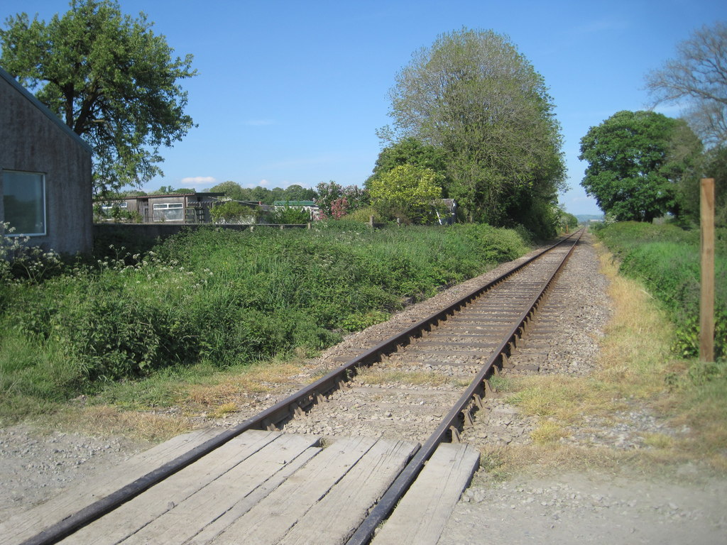
Talley Road Halt railway station
Talley Road Halt railway station served the town of Llandeilo, in the historical county of Glamorganshire, Wales, from 1859 to 1955 on the Vale of Towy...

Cwmifor
Cwmifor is a small village in Carmarthenshire. It is a part of the Manordeilo and Salem community and is located between Llandeilo and Llandovery, near...

Manordeilo and Salem
Manordeilo and Salem (Welsh: Maenordeilo a Salem) is a community located in Carmarthenshire, Wales. The population taken at the 2011 census was 1,754.The...
Manordeilo
Manordeilo is a village in Carmarthenshire, Wales, near the River Tywi. == External links == Manordeilo and Salem Community Council website
Nearby Amenities
Located within 500m of 51.910738,-3.9616221Have you been to Llechwen-dderi Wood?
Leave your review of Llechwen-dderi Wood below (or comments, questions and feedback).