Crymlyn Oaks

Wood, Forest in Caernarfonshire

Wales

Crymlyn Oaks

Summit cairn and remains of trig point, Moel Wnion
Summit cairn and remains of trig point, Moel Wnion Credit: Chris Andrews

The requested URL returned error: 429 Too Many Requests

If you have any feedback on the listing, please let us know in the comments section below.
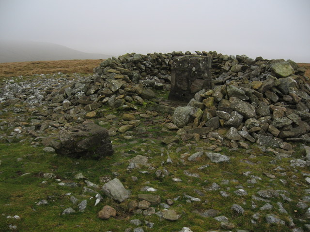
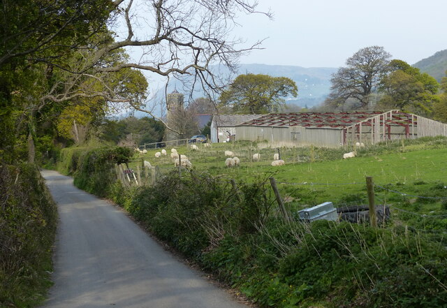
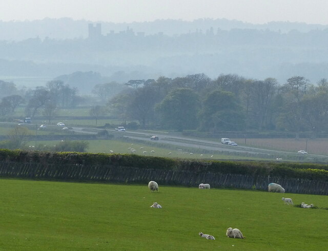
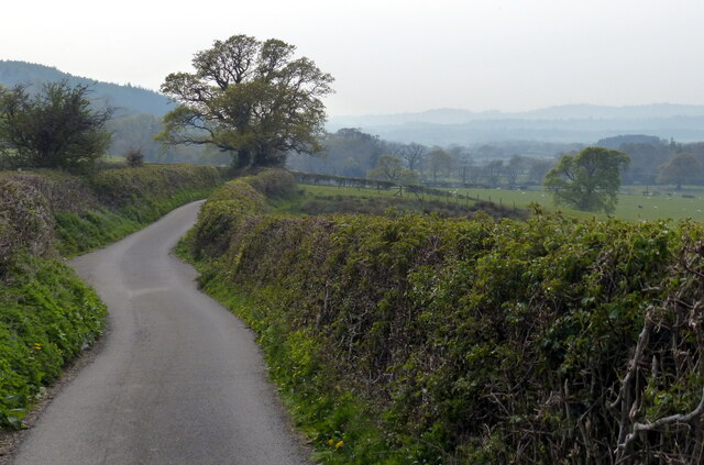
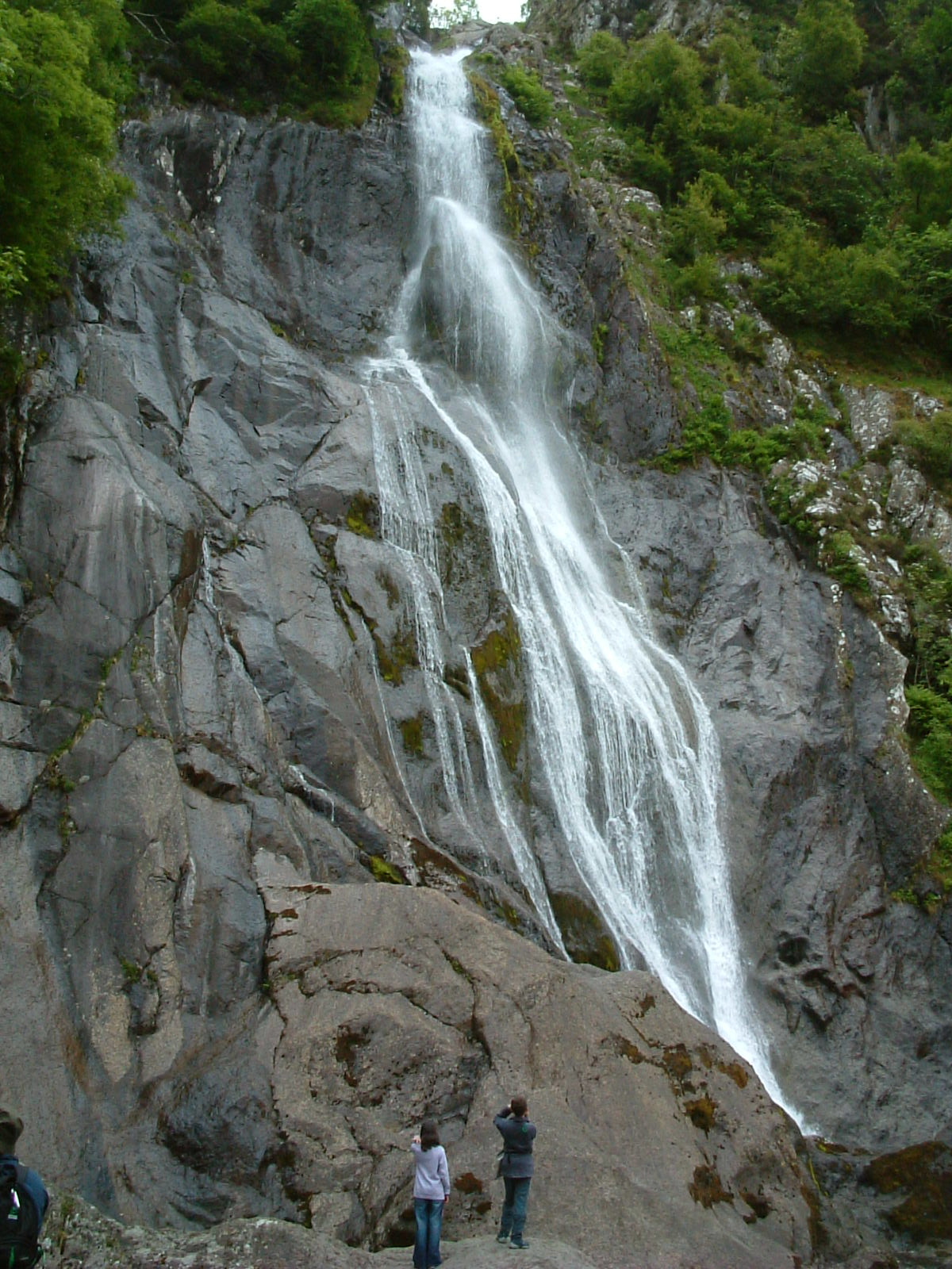
Crymlyn Oaks Images

Images are sourced within 2km of 53.223018/-4.0347384 or Grid Reference SH6471. Thanks to Geograph Open Source API. All images are credited.

Summit cairn and remains of trig point, Moel Wnion
Afon Rhaeadr Fawr valley Viewed from the car park at the Morfa Aber Nature Reserve.
Afon Rhaeadr Fawr valley
Viewed from the car park at the Morfa Aber Nature Reserve.
Car park at the Morfa Aber Nature Reserve
Tree and lane near Abergwyngregyn
Station Road at Abergwyngregyn
St Bodfan's Church at Abergwyngregyn
Lane at Abergwyngregyn
Bus on the A55 at Abergwyngregyn The A55, also known as the North Wales Expressway (Gwibffordd Gogledd Cymru), is the major road in North Wales running for 88 miles between Chester and Holyhead via Conwy and Bangor. 

The A55 is a very high quality road, much of it rebuilt since the 1970s in response to traffic problems in Colwyn Bay, Colwyn and Llandudno caused by traffic having to pass through town centres on totally unsuitable streets, (especially in Conwy where lorries often scraped their paintwork as they passed through 12th century arches in the town's walls), leading to the construction of an east-west expressway bypassing the urban centres. It is a dual carriageway primary route for its entire length with the exception of the point where it crosses the Britannia Bridge over the Menai Strait. All of its junctions are grade separated except for two roundabouts; one east of Penmaenmawr and one in Llanfairfechan. The road originally ran from Chester to Bangor but was extended parallel to the A5 across Anglesey right into Holyhead Docks in 2001.

<span class="nowrap"><a title="http://www.sabre-roads.org.uk/wiki/index.php?title=A55" rel="nofollow ugc noopener" href="http://www.sabre-roads.org.uk/wiki/index.php?title=A55">Link</a><img style="margin-left:2px;" alt="External link" title="External link - shift click to open in new window" src="https://s1.geograph.org.uk/img/external.png" width="10" height="10"/></span>  SABRE
Bus on the A55 at Abergwyngregyn
The A55, also known as the North Wales Expressway (Gwibffordd Gogledd Cymru), is the major road in North Wales running for 88 miles between Chester and Holyhead via Conwy and Bangor. The A55 is a very high quality road, much of it rebuilt since the 1970s in response to traffic problems in Colwyn Bay, Colwyn and Llandudno caused by traffic having to pass through town centres on totally unsuitable streets, (especially in Conwy where lorries often scraped their paintwork as they passed through 12th century arches in the town's walls), leading to the construction of an east-west expressway bypassing the urban centres. It is a dual carriageway primary route for its entire length with the exception of the point where it crosses the Britannia Bridge over the Menai Strait. All of its junctions are grade separated except for two roundabouts; one east of Penmaenmawr and one in Llanfairfechan. The road originally ran from Chester to Bangor but was extended parallel to the A5 across Anglesey right into Holyhead Docks in 2001. LinkExternal link SABRE
Sheep and pasture at Abergwyngregyn
Lane towards Crymlyn
Country lane near Glyn
Sheep and pasture at Glyn Looking west across the A55 North Wales Expressway towards Penrhyn Castle.
Sheep and pasture at Glyn
Looking west across the A55 North Wales Expressway towards Penrhyn Castle.
Country lane towards Crymlyn
Temporary path along the road at Crymlyn
Temporary path along the road at Capel Gilfach
West along the Wales Coast Path The Wales Coast Path (Welsh: Llwybr Arfordir Cymru) is a long distance footpath which follows the whole of the coastline of Wales. It opened on 5 May 2012, and offers a 870 mile long route from Chepstow in the south to Queensferry in the north.
Wales is the first country in the world to provide a dedicated footpath along its entire coastline. The Path runs through eleven National Nature Reserves and other nature reserves, including those managed by The Wildlife Trusts or Royal Society for the Protection of Birds (RSPB).
Logo can be seen at<a href="https://www.geograph.org.uk/photo/3738617">SS0897 : Logo, Wales Coast Path</a>.
Website: <span class="nowrap"><a title="http://www.walescoastpath.gov.uk/default.aspx" rel="nofollow ugc noopener" href="http://www.walescoastpath.gov.uk/default.aspx">Link</a><img style="margin-left:2px;" alt="External link" title="External link - shift click to open in new window" src="https://s1.geograph.org.uk/img/external.png" width="10" height="10"/></span>
West along the Wales Coast Path
The Wales Coast Path (Welsh: Llwybr Arfordir Cymru) is a long distance footpath which follows the whole of the coastline of Wales. It opened on 5 May 2012, and offers a 870 mile long route from Chepstow in the south to Queensferry in the north. Wales is the first country in the world to provide a dedicated footpath along its entire coastline. The Path runs through eleven National Nature Reserves and other nature reserves, including those managed by The Wildlife Trusts or Royal Society for the Protection of Birds (RSPB). Logo can be seen atSS0897 : Logo, Wales Coast Path. Website: LinkExternal link
Track inland to the A55 North Wales Expressway
Show me another place!

Crymlyn Oaks is located at Grid Ref: SH6471 (Lat: 53.223018, Lng: -4.0347384)

Unitary Authority: Gwynedd

Police Authority: North Wales

What 3 Words

///surprised.gloves.lines. Near Aber, Gwynedd

Nearby Locations

Crymlyn Oaks

Related Wikis

Coedydd Aber National Nature Reserve

Coedydd Aber National Nature Reserve lies tucked away in a steep valley on the northern flanks of the Carneddau mountains, roughly midway between Bangor...

Abergwyngregyn

Abergwyngregyn (Welsh: [abɛrɡwɨnˈɡrɛɡɨn]) is a village and community of historical note in Gwynedd, a county and principal area in Wales. Under its historic...

Powys Wenwynwyn

Powys Wenwynwyn or Powys Cyfeiliog was a Welsh kingdom which existed during the high Middle Ages. The realm was the southern portion of the former princely...

Kingdom of Powys

The Kingdom of Powys (Welsh: Teyrnas Powys; Latin: Regnum Poysiae) was a Welsh successor state, petty kingdom and principality that emerged during the...

Nearby Amenities

Located within 500m of 53.223018,-4.0347384
Crymlyn
Is In: Gwynedd,Cymru,Wales,UK
Place: hamlet
Lat/Long: 53.2237329/-4.0414665
Power: pole
Lat/Long: 53.2268763/-4.0354237
Power: pole
Lat/Long: 53.2222841/-4.0387665
Power: pole
Lat/Long: 53.2253038/-4.0403486
Power: pole
Lat/Long: 53.2234978/-4.0401042
Power: pole
Lat/Long: 53.2272232/-4.0343106
Power: pole
Lat/Long: 53.2230739/-4.0407667
Power: pole
Lat/Long: 53.2240823/-4.04019
Power: pole
Lat/Long: 53.2214022/-4.0413594
Power: pole
Lat/Long: 53.223774/-4.0403777
Power: pole
Lat/Long: 53.221855/-4.0400183
Power: pole
Lat/Long: 53.2233431/-4.0407
Power: pole
Lat/Long: 53.2255982/-4.0394068
Power: pole
Lat/Long: 53.2264294/-4.0368591
Power: pole
Lat/Long: 53.2246636/-4.0402651
Power: pole
Lat/Long: 53.222841/-4.0393666
Power: pole
Lat/Long: 53.2260606/-4.0379825
The data included in this document is from www.openstreetmap.org. The data is made available under ODbL.

Have you been to Crymlyn Oaks?

Leave your review of Crymlyn Oaks below (or comments, questions and feedback).