Coed Pen-y-plas

Wood, Forest in Caernarfonshire

Wales

Coed Pen-y-plas

Slate slab bridge on Afon Cwm Llan This bridge was built by miners to provide a short cut to the copper mines on slopes of Lliwedd.
Slate slab bridge on Afon Cwm Llan Credit: Eric Jones

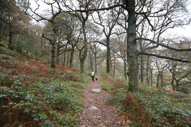
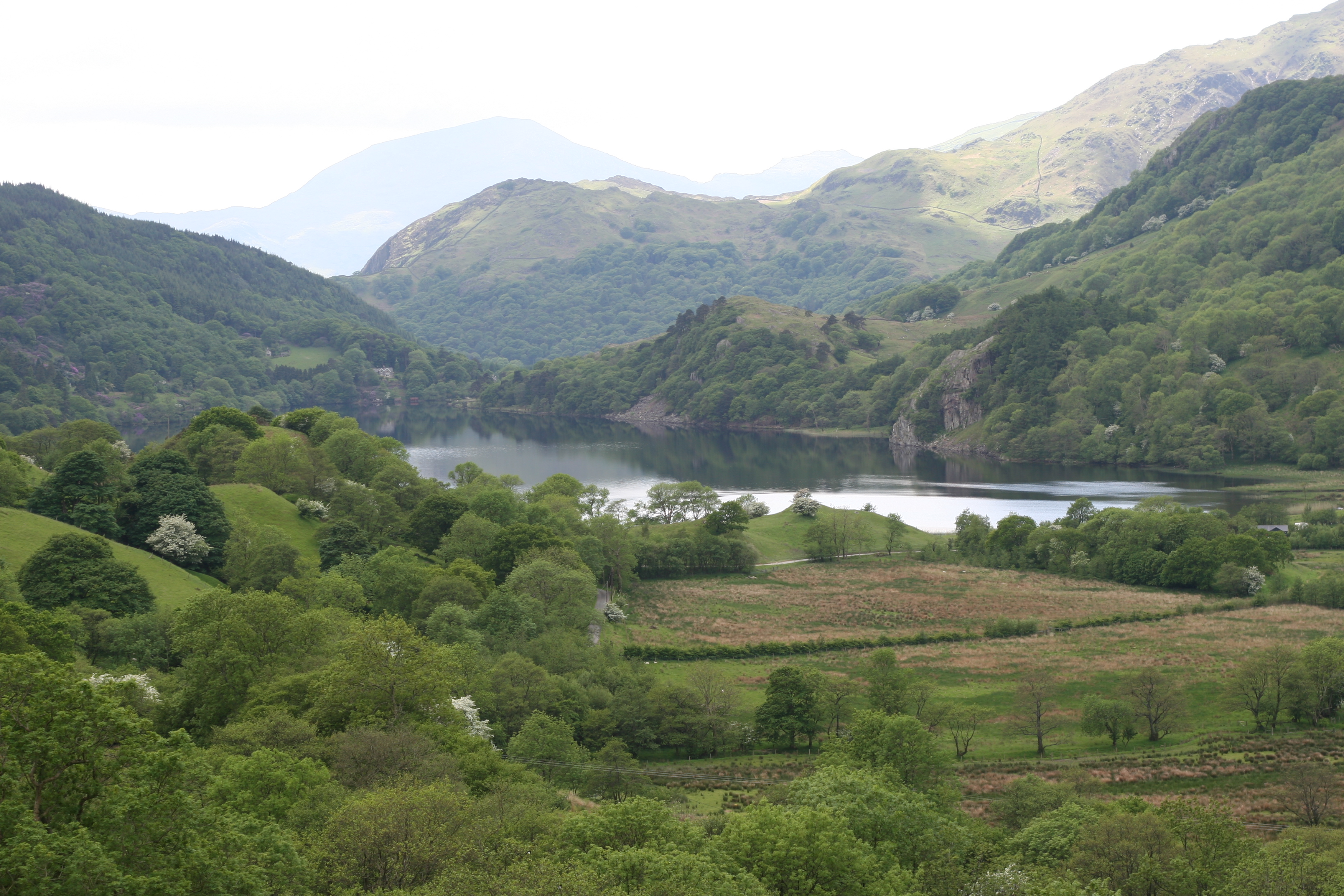
Coed Pen-y-plas is a picturesque woodland located in Caernarfonshire, Wales. With its name translating to "Wood, Forest," it is a serene and enchanting natural haven. Spanning approximately 200 acres, the woodland boasts a diverse range of tree species, including oak, beech, and coniferous trees.

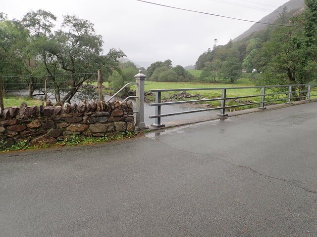
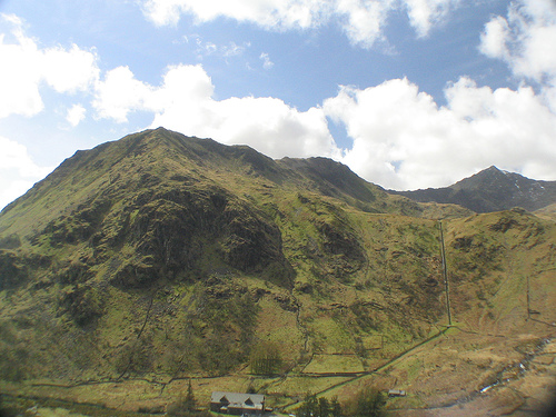
Situated in the heart of the Snowdonia National Park, Coed Pen-y-plas offers a captivating landscape that attracts nature enthusiasts and hikers alike. The woodland is home to an array of wildlife, including red squirrels, badgers, and various bird species. Visitors can witness these animals in their natural habitat, making it a popular destination for wildlife observation.

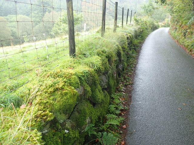
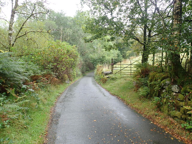
The woodland provides numerous walking trails, allowing visitors to explore its scenic beauty at their own pace. These paths wind through the dense foliage, providing a peaceful and tranquil atmosphere. Along the way, visitors can discover hidden streams and waterfalls, adding to the enchantment of the woodland.

Coed Pen-y-plas is not only a haven for nature lovers but also a significant historical site. The woodland has remnants of ancient settlements, with archaeological finds dating back to the Roman era. These historical artifacts provide insight into the rich cultural heritage of the area.

Overall, Coed Pen-y-plas offers a captivating and immersive experience for those seeking solace in nature. Its stunning beauty, diverse wildlife, and historical significance make it a must-visit destination for anyone exploring Caernarfonshire.

If you have any feedback on the listing, please let us know in the comments section below.

Coed Pen-y-plas Images

Images are sourced within 2km of 53.041882/-4.0265081 or Grid Reference SH6451. Thanks to Geograph Open Source API. All images are credited.

Slate slab bridge on Afon Cwm Llan This bridge was built by miners to provide a short cut to the copper mines on slopes of Lliwedd.
Slate slab bridge on Afon Cwm Llan
This bridge was built by miners to provide a short cut to the copper mines on slopes of Lliwedd.
Waterfall on Afon Cwm Llan Afon Cwm Llan is a spate river.
Waterfall on Afon Cwm Llan
Afon Cwm Llan is a spate river.
Rhaeadr Cwm Llan waterfall
Cwm Llan waterfall in full spate
The start of the Watkin path in Parc Hafod-y-llan From the road by the confluence of the Afon Llynedno with the Afon Glaslyn, the Watkin path is one of the classic routes up Snowdon. With cloudbase barely above the treetops, that's not an ideal destination for a day like this, but the track also gives access to various lower-level rooutes and industrial remains, so was far from deserted. The woodland is moderately natural, no plantation conifers, but plenty of invasive weed sycamore which no-one seems to be seeking to exterminate.
The start of the Watkin path in Parc Hafod-y-llan
From the road by the confluence of the Afon Llynedno with the Afon Glaslyn, the Watkin path is one of the classic routes up Snowdon. With cloudbase barely above the treetops, that's not an ideal destination for a day like this, but the track also gives access to various lower-level rooutes and industrial remains, so was far from deserted. The woodland is moderately natural, no plantation conifers, but plenty of invasive weed sycamore which no-one seems to be seeking to exterminate.
Hawthorns by the route to Cwm Llan Hawthorns stand out against the low contrast background of Cwm Llan in low cloud on a dreich November day. The Watkin path heads up there past the Afon Cwm Llan waterfalls, and straight into the clouds that are starting to bring the level up. The weather might mean a less crowded ascent to Snowdon, but the views would hardly be the most rewarding, so this was a lower-level walk aiming to stay below cloudbase and return to Llyn Dinas via a permissive path to Craflwyn.
Hawthorns by the route to Cwm Llan
Hawthorns stand out against the low contrast background of Cwm Llan in low cloud on a dreich November day. The Watkin path heads up there past the Afon Cwm Llan waterfalls, and straight into the clouds that are starting to bring the level up. The weather might mean a less crowded ascent to Snowdon, but the views would hardly be the most rewarding, so this was a lower-level walk aiming to stay below cloudbase and return to Llyn Dinas via a permissive path to Craflwyn.
Minor road heading up from Bethania, at the northern end of Llyn Dinas Moss-covered dry stone wall on the left
Minor road heading up from Bethania, at the northern end of Llyn Dinas
Moss-covered dry stone wall on the left
Minor road near Hafod Tan-y-Graig
Bridge over the River Glaslyn at Bethania
Afon Glaslyn Looking upstream from the road bridge at Bethania
Afon Glaslyn
Looking upstream from the road bridge at Bethania
Gallt y Wenallt The snow-covered peak Gallt y Wenallt (619 metres above sea level) of the Snowdon mountain range, as seen at midday on 12th December 2022. Ref:PC120127.
Gallt y Wenallt
The snow-covered peak Gallt y Wenallt (619 metres above sea level) of the Snowdon mountain range, as seen at midday on 12th December 2022. Ref:PC120127.
Llyn Gwynant and Moel Hebog The lake Llyn Gwynant, with the peak Moel Hebog of Hebog Ridge in the distance. Midday on 12th December 2022. Ref:PC120119.
Llyn Gwynant and Moel Hebog
The lake Llyn Gwynant, with the peak Moel Hebog of Hebog Ridge in the distance. Midday on 12th December 2022. Ref:PC120119.
Llyn Gwynant in Nant Gwynant valley, Eryri The Nant Gwynant valley and the Llyn Gwynant lake. Towering to the right is Gallt y Wenallt (619m) of the Snowdon (Yr Wyddfa) range of peaks. In the far distance left of centre are the twin peaks of Moel y Gest (263m) to the west of Porthmadog. Ref:PC200124.
Llyn Gwynant in Nant Gwynant valley, Eryri
The Nant Gwynant valley and the Llyn Gwynant lake. Towering to the right is Gallt y Wenallt (619m) of the Snowdon (Yr Wyddfa) range of peaks. In the far distance left of centre are the twin peaks of Moel y Gest (263m) to the west of Porthmadog. Ref:PC200124.
A maintenance shed and communications mast near Nant Gwynant campsite
Hillside north of Llyn Gwynant campsite
Old mine walls above Llyn Gwynant
Afon Glaslyn below Llyn Dinas
Afon Cwm Llan and the turbine house The wooden building is the turbine house for the National Trust hydroelectric scheme at Hafod-y-llan.
Afon Cwm Llan and the turbine house
The wooden building is the turbine house for the National Trust hydroelectric scheme at Hafod-y-llan.
Show me another place!

Coed Pen-y-plas is located at Grid Ref: SH6451 (Lat: 53.041882, Lng: -4.0265081)

Unitary Authority: Gwynedd

Police Authority: North Wales

What 3 Words

///lemmings.they.punctuate. Near Blaenau-Ffestiniog, Gwynedd

Related Wikis

Llyn Gwynant

Llyn Gwynant is a lake in Snowdonia, Wales. Llyn Gwynant lies on the River Glaslyn, in the Nant Gwynant valley, and is about 1ΒΌ miles (2 km) north east...

Plas Gwynant

Plas Gwynant is an educational resort in Snowdonia, Wales. This country estate also includes a woodland and riverside walks, as well as a parkland and...

Nant Gwynant

Nant Gwynant (also spelt Nantgwynant) is a valley in northern Wales. The A498 road descends 600 feet (180 m) into the valley in about two miles (3 km)...

Gallt y Wenallt

Gallt y Wenallt is a subsidiary summit of Y Lliwedd in Snowdonia National Park, north Wales. It lies at the end of the north ridge. Its northern face is...

Lliwedd Bach

Lliwedd Bach is a top of Y Lliwedd in the Snowdonia National Park, North Wales. It is the last "top" on the main ridge of Y Lliwedd, the other being Y...

Y Lliwedd East Peak

Y Lliwedd East Peak is the twin top of Y Lliwedd in the Snowdonia National Park, North Wales. It is only 5 metres shorter than the main summit of Y Lliwedd...

Cwm Dyli

Cwm Dyli is the location of a hydro-electric power station on the southern flank of the Snowdon range in North Wales. At the time it was built, it was...

Y Lliwedd

Y Lliwedd is a mountain, connected to Snowdon in the Snowdonia National Park, North Wales. Its summit lies 898 metres (2,946 ft) above sea level. The eastern...

Nearby Amenities

Located within 500m of 53.041882,-4.0265081
Source: npe
Lat/Long: 53.0456211/-4.0228648
Source: npe
Lat/Long: 53.0451365/-4.0234778
Source: npe
Lat/Long: 53.0440781/-4.02534
Source: npe
Lat/Long: 53.0430896/-4.0298396
Source: npe
Lat/Long: 53.0424623/-4.0316703
Source: npe
Lat/Long: 53.0432367/-4.0332856
Source: npe
Lat/Long: 53.0437344/-4.0318259
Source: npe
Lat/Long: 53.0454019/-4.0296317
Bus: yes
Public Transport: stop_position
Lat/Long: 53.0442383/-4.0246503
Barrier: entrance
Source: survey;gps
Lat/Long: 53.0407249/-4.0228538
Power: pole
Source: Bing
Lat/Long: 53.0387038/-4.022414
Power: pole
Lat/Long: 53.0393769/-4.0219198
Power: pole
Lat/Long: 53.0401165/-4.021352
Power: pole
Lat/Long: 53.0406793/-4.0209059
Power: pole
Lat/Long: 53.0412807/-4.020448
Power: pole
Lat/Long: 53.0422111/-4.0197067
Power: pole
Lat/Long: 53.0424571/-4.022404
Power: pole
Lat/Long: 53.0422066/-4.023213
Power: pole
Lat/Long: 53.0420673/-4.0246055
Power: pole
Lat/Long: 53.0418229/-4.0270305
Power: pole
Lat/Long: 53.0420783/-4.0283254
Power: pole
Lat/Long: 53.0419451/-4.025818
Bus Stop
Public Transport: platform
Lat/Long: 53.0442971/-4.0245943
Bus Stop
Public Transport: platform
Lat/Long: 53.0443455/-4.024314
The data included in this document is from www.openstreetmap.org. The data is made available under ODbL.

Have you been to Coed Pen-y-plas?

Leave your review of Coed Pen-y-plas below (or comments, questions and feedback).