Coed Caerwych

Wood, Forest in Merionethshire

Wales

Coed Caerwych

Approaching the footpath which runs alongside Llyn Tecwyn Uchaf The old packhorse route from Maentwrog to Harlech.
Approaching the footpath which runs alongside Llyn Tecwyn Uchaf Credit: John Lucas

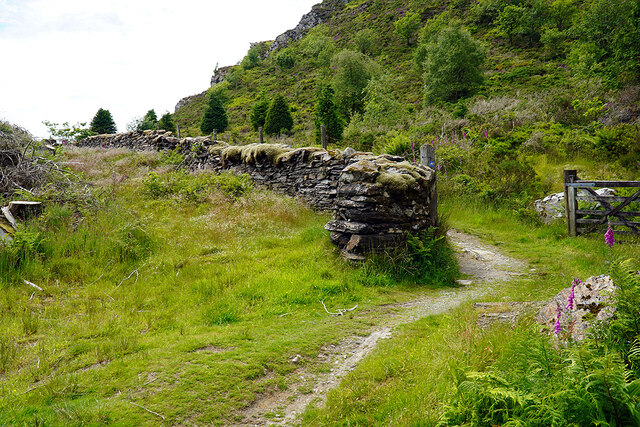
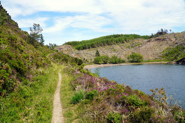
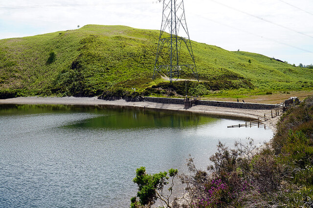
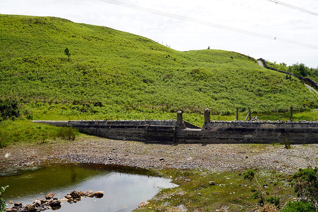
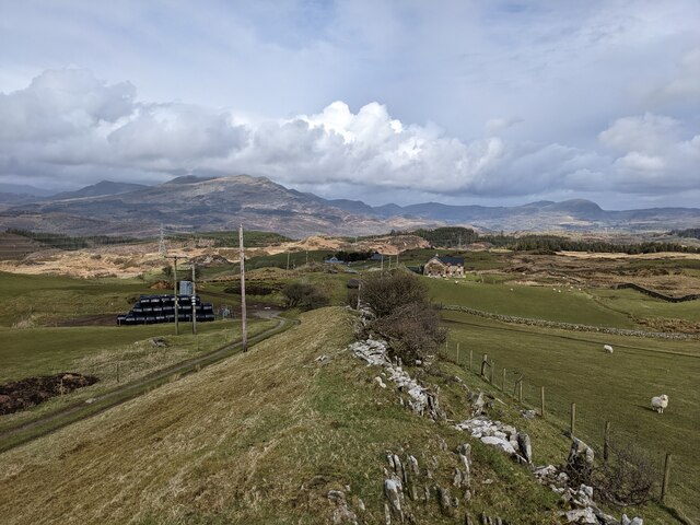
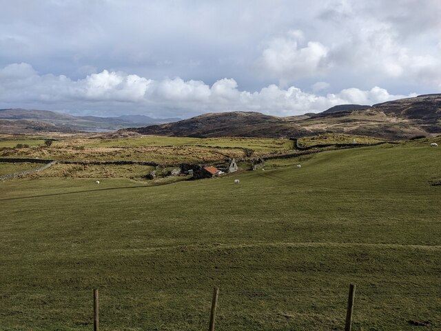
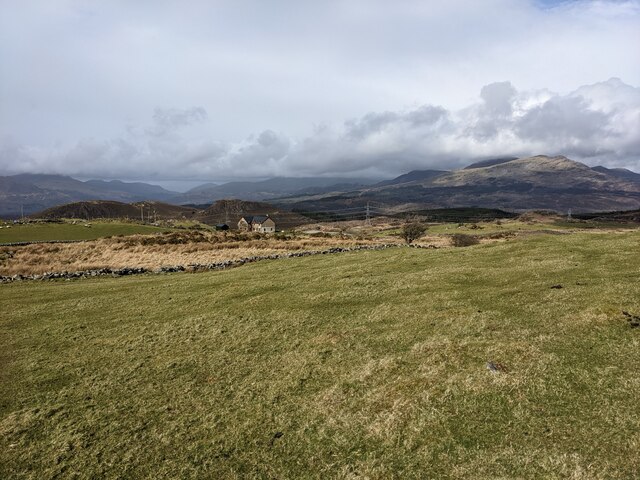
Coed Caerwych, located in the county of Merionethshire, is a stunning wood or forest that offers a picturesque and serene natural environment. Spread across a considerable area, it is a popular destination for nature enthusiasts, hikers, and those seeking tranquility amidst the beauty of the outdoors.

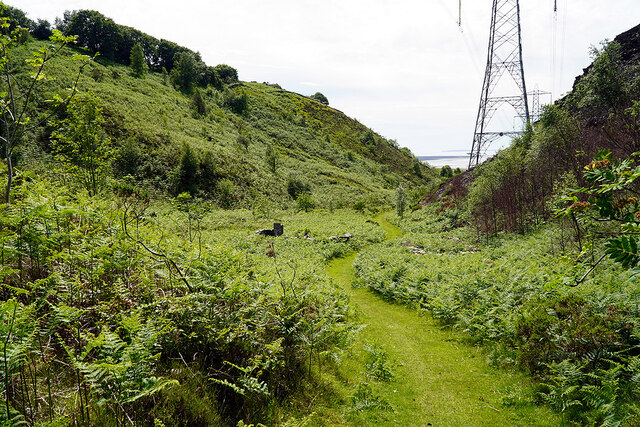
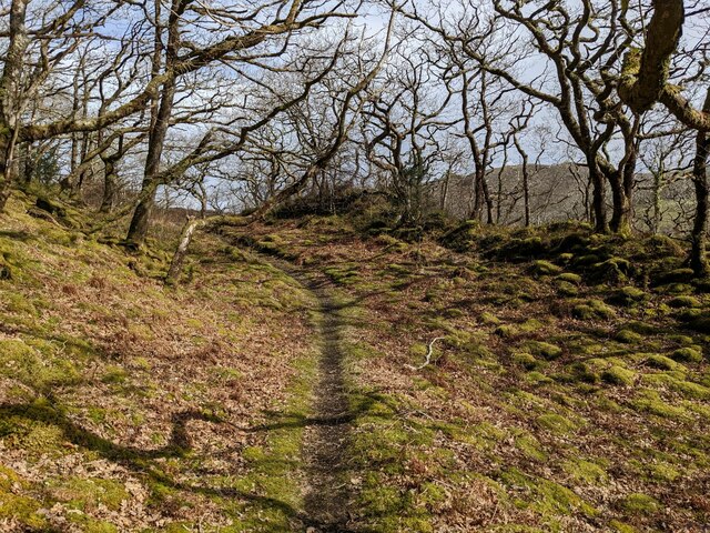
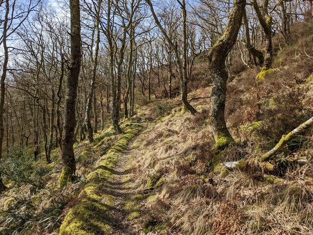
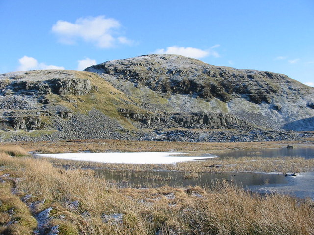
The woodland is home to a diverse range of plant and animal species, making it an important ecological site. The lush greenery is dominated by a variety of tall trees, including oak, beech, and pine, which create a dense canopy, filtering sunlight and providing a cool and shaded atmosphere. The forest floor is covered in a carpet of moss, ferns, and wildflowers, adding to the enchanting ambiance.

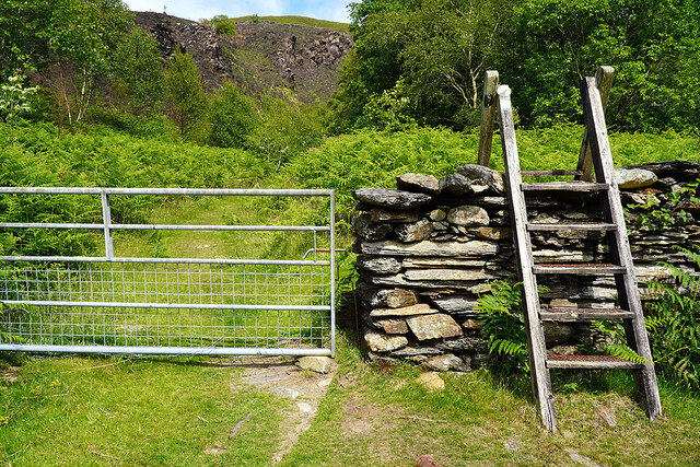
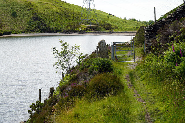
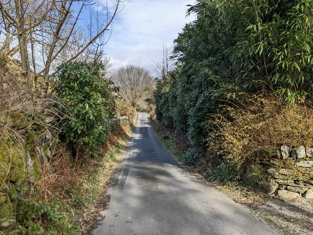
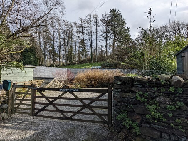
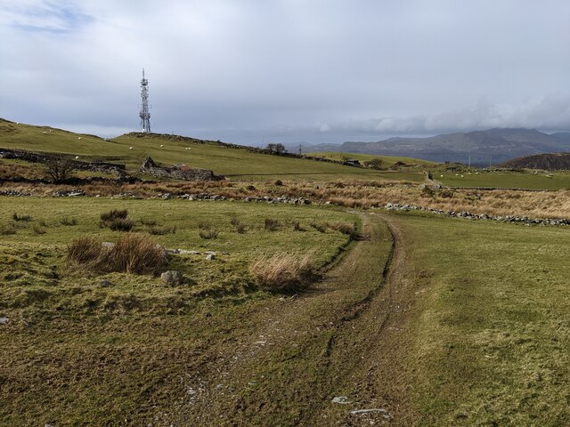
Coed Caerwych offers numerous walking trails and paths that wind through the woods, allowing visitors to explore the area at their own pace. These paths vary in length and difficulty, catering to both casual strollers and avid hikers. Along the way, one can encounter small streams, charming bridges, and even hidden caves, adding an element of adventure to the experience.

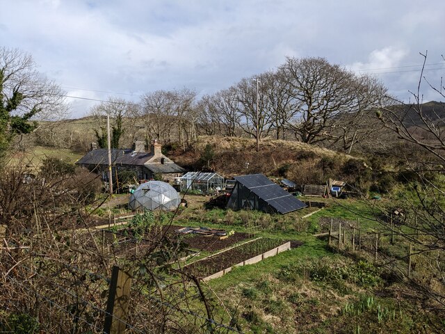
The woodland is also known for its rich history and cultural significance. Ruins of ancient settlements and structures can be found scattered throughout the forest, hinting at its past inhabitants and their way of life. These archaeological remains serve as a reminder of the long and storied history of the area.

Overall, Coed Caerwych in Merionethshire is a truly enchanting woodland, offering a peaceful retreat for individuals seeking solace in nature. With its diverse flora and fauna, captivating trails, and historical remnants, it is a destination that appeals to both nature lovers and history enthusiasts alike.

If you have any feedback on the listing, please let us know in the comments section below.

Coed Caerwych Images

Images are sourced within 2km of 52.909872/-4.0195801 or Grid Reference SH6436. Thanks to Geograph Open Source API. All images are credited.

Approaching the footpath which runs alongside Llyn Tecwyn Uchaf The old packhorse route from Maentwrog to Harlech.
Approaching the footpath which runs alongside Llyn Tecwyn Uchaf
The old packhorse route from Maentwrog to Harlech.
On the footpath alongside Llyn Tecwyn Uchaf Looking back towards Coed Felenrhyd.
On the footpath alongside Llyn Tecwyn Uchaf
Looking back towards Coed Felenrhyd.
 Llyn Tecwyn Uchaf dam Viewed from an adjacent path leading to Llandecwyn. An old route over the hills from Maentwrog, but probably deviated when the reservoir was constructed in the second half of the 19th C.
Llyn Tecwyn Uchaf dam
Viewed from an adjacent path leading to Llandecwyn. An old route over the hills from Maentwrog, but probably deviated when the reservoir was constructed in the second half of the 19th C.
Second dam of Llyn Tecwyn Uchaf Set a little higher than the main dam, which stands out of view on the left. The one in view appears to be the original, but not in use.
Second dam of Llyn Tecwyn Uchaf
Set a little higher than the main dam, which stands out of view on the left. The one in view appears to be the original, but not in use.
Ladder stile and gate On the path down from Llyn Tecwyn Uchaf to Llandecwyn. The stile is probably now redundant, as the gate is easily opened. There is a move in mid and north Wales to dispense with stiles wherever possible.
Ladder stile and gate
On the path down from Llyn Tecwyn Uchaf to Llandecwyn. The stile is probably now redundant, as the gate is easily opened. There is a move in mid and north Wales to dispense with stiles wherever possible.
Path leading down to Llandecwyn With the coast just coming into view.
Path leading down to Llandecwyn
With the coast just coming into view.
Gate on the path beside Llyn Tecwyn Uchaf Not sure how effective is the gate as a livestock barrier!
Gate on the path beside Llyn Tecwyn Uchaf
Not sure how effective is the gate as a livestock barrier!
A fine tree at Bryn Bwbach
The minor road at Bryn Bwbach
The entrance to Bwlch y Fedwen
An interesting garden
A footpath through the woods
A lovely path through Llandecwyn woods
Looking towards Yr Onnen
The Llandecwyn communications mast With the Dwyryd estuary in the distance.
The Llandecwyn communications mast
With the Dwyryd estuary in the distance.
Fields and derelict barn above Yr Onnen
Fields above Yr Onnen farm Looking north.
Fields above Yr Onnen farm
Looking north.
Looking west towards the communications mast The track in the foreground is shown on the OS maps, but these also show a bridleway running northwest from approximately this point which is non-existent on the ground.
Looking west towards the communications mast
The track in the foreground is shown on the OS maps, but these also show a bridleway running northwest from approximately this point which is non-existent on the ground.
Show me another place!

Coed Caerwych is located at Grid Ref: SH6436 (Lat: 52.909872, Lng: -4.0195801)

Unitary Authority: Gwynedd

Police Authority: North Wales

What 3 Words

///vanished.aced.editor. Near Penrhyndeudraeth, Gwynedd

Nearby Locations

Coed Caerwych

Related Wikis

Llandecwyn

Llandecwyn () is a hamlet near Penrhyndeudraeth in Gwynedd, Wales. The bulk of the population (between 40 and 50 houses) is now located around Cilfor close...

Bryn Cader Faner

Bryn Cader Faner is a Bronze Age round cairn which lies to the east of the small hamlet of Talsarnau in the Ardudwy area of Gwynedd in Wales. The diameter...

Moel Ysgyfarnogod

Moel Ysgyfarnogod (Welsh for 'Bare hill of the hares') is a mountain in Snowdonia, North Wales and is the northernmost of the Rhinogydd. Rhinog Fawr lies...

Foel Penolau

Foel Penolau is a mountain close to Moel Ysgyfarnogod in Snowdonia, North Wales and is the northernmost summit of the Rhinogydd, and overlooks Llyn Trawsfynydd...

Nearby Amenities

Located within 500m of 52.909872,-4.0195801
Bronze Age Settlement
Archaeological Site: settlement
Historic: archaeological_site
Historic Civilization: bronze-age
Lat/Long: 52.9122392/-4.0134285
Man Made: adit
Lat/Long: 52.9058905/-4.0176474
Man Made: adit
Lat/Long: 52.9056979/-4.017874
Man Made: adit
Lat/Long: 52.9064908/-4.017127
Ford: yes
Lat/Long: 52.9085143/-4.0125557
Ford: yes
Lat/Long: 52.9101743/-4.0121996
The data included in this document is from www.openstreetmap.org. The data is made available under ODbL.

Have you been to Coed Caerwych?

Leave your review of Coed Caerwych below (or comments, questions and feedback).