Allt Ddel
Wood, Forest in Cardiganshire
Wales
Allt Ddel
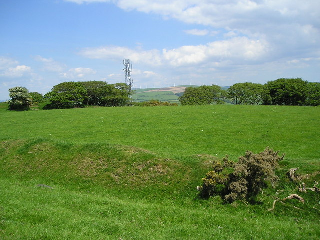
Allt Ddel is a wood located in Cardiganshire, Wales. Situated in the picturesque countryside, it covers an area of approximately 100 hectares. The wood is predominantly made up of a variety of deciduous trees, including oak, ash, beech, and birch.
The woodland is known for its diverse wildlife, with numerous species of birds, mammals, and insects making it their home. Visitors can spot woodpeckers, buzzards, and owls, as well as deer, foxes, and squirrels. The wood is especially popular among birdwatchers and nature enthusiasts.
Allt Ddel is also a haven for wildflowers, with carpets of bluebells and primroses covering the forest floor in the spring. The wood is crisscrossed with footpaths, allowing visitors to explore and enjoy the natural beauty of the area. There are also several picnic areas and benches dotted around, providing a perfect spot for visitors to relax and take in the tranquil surroundings.
Managed by the local forestry commission, Allt Ddel ensures the preservation of the woodland and its biodiversity. The wood is regularly maintained, with dead trees being left standing to provide habitats for insects and fungi. Conservation efforts are also underway to protect and enhance the diversity of plant and animal life within the wood.
Overall, Allt Ddel is a stunning forest in Cardiganshire, offering visitors the opportunity to immerse themselves in nature, observe wildlife, and enjoy the peaceful ambiance of the wood.
If you have any feedback on the listing, please let us know in the comments section below.
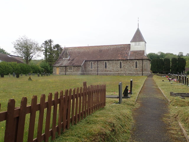
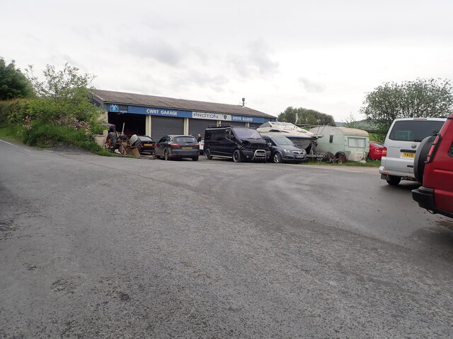
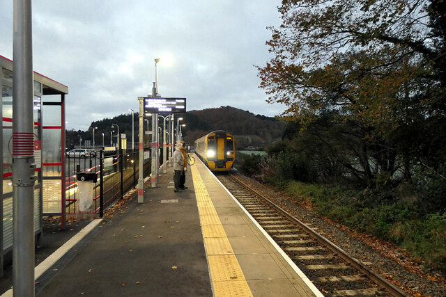
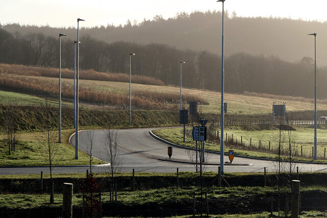
Allt Ddel Images
Images are sourced within 2km of 52.437802/-4.0179552 or Grid Reference SN6284. Thanks to Geograph Open Source API. All images are credited.


Allt Ddel is located at Grid Ref: SN6284 (Lat: 52.437802, Lng: -4.0179552)
Unitary Authority: Ceredigion
Police Authority: Dyfed Powys
What 3 Words
///craftsmen.landscape.clef. Near Bow Street, Ceredigion
Nearby Locations
Related Wikis
Hen Gaer
Hen Gaer is an Iron Age hillfort, on a hill adjacent to and east of Bow Street, Ceredigion, Wales. Other names of the hillfort are Broncastellan and Caer...
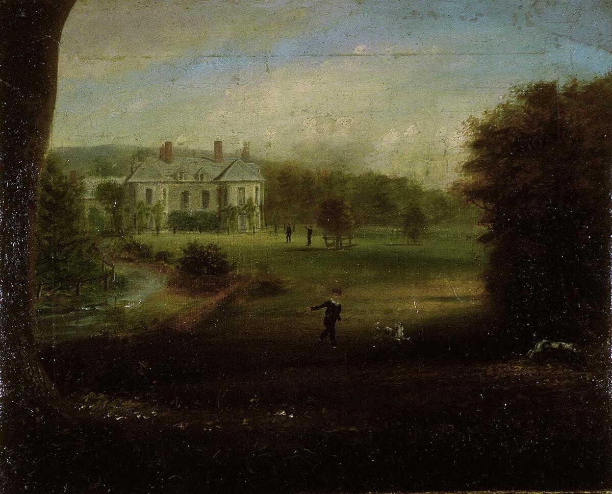
Gogerddan
Gogerddan, or in English, Gogarthen, was an estate near to Trefeurig and the most important in what was then the county of Cardiganshire, Wales. Owned...

Bow Street, Ceredigion
Bow Street is a large village in the Tirymynach district of Ceredigion, Wales, approximately 3.5 miles (5.6 km) north-east of Aberystwyth. As well as Bow...

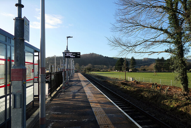
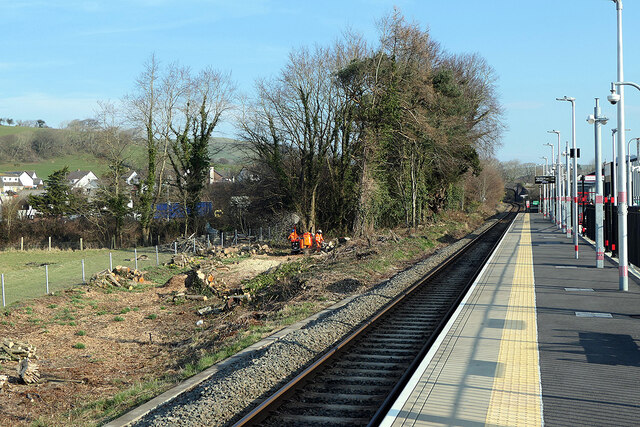
Bow Street railway station
Bow Street is a railway station on the Cambrian Line, which runs between Shrewsbury and Aberystwyth or Pwllheli. The station, situated 4 miles 30 chains...
Nearby Amenities
Located within 500m of 52.437802,-4.0179552Have you been to Allt Ddel?
Leave your review of Allt Ddel below (or comments, questions and feedback).