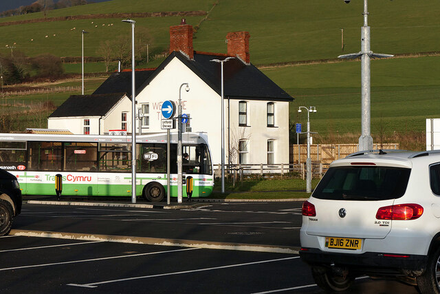
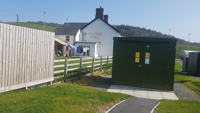
Bow Street
Settlement in Cardiganshire
Wales
Bow Street
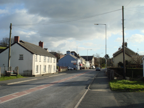
Bow Street is a small village situated in the county of Cardiganshire, Wales. It is located approximately 5 miles southeast of the town of Aberystwyth, nestled between the Cambrian Mountains and the Cardigan Bay coastline. The village is easily accessible via the A487 road, which runs through its center.
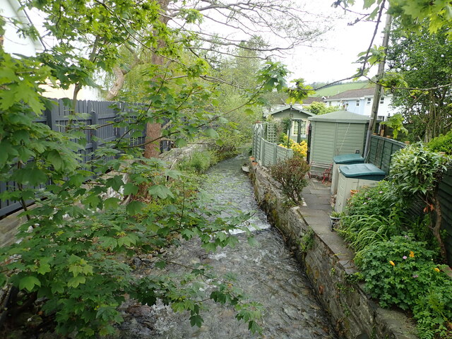
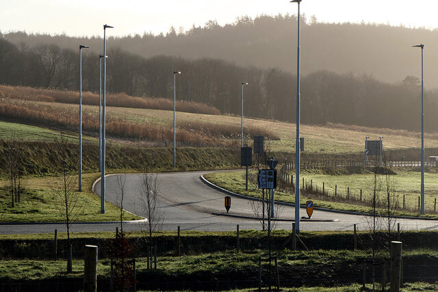
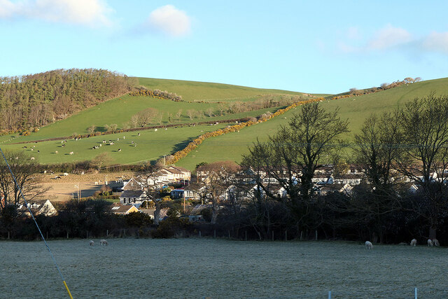
Historically, Bow Street was known as a hub for agriculture, with its fertile lands supporting a thriving farming community. Over the years, however, it has evolved into a more residential area, while still maintaining its rural charm. The village is characterized by its picturesque countryside views, rolling hills, and meandering streams.
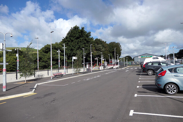
Despite its small size, Bow Street offers a range of amenities to its residents and visitors. These include a primary school, a post office, a convenience store, and a few local businesses. Additionally, the nearby town of Aberystwyth provides a wider array of services, entertainment options, and educational institutions.
Nature enthusiasts are drawn to Bow Street for its proximity to stunning natural landscapes. The village is surrounded by numerous walking paths and cycling routes, allowing visitors to explore the scenic beauty of the Welsh countryside. The coast is also within reach, offering opportunities for beach walks, water sports, and birdwatching.
Overall, Bow Street, Cardiganshire, offers a peaceful and picturesque setting for those seeking a quiet rural lifestyle, while still benefiting from the convenience of nearby towns and access to the natural wonders of the surrounding area.
If you have any feedback on the listing, please let us know in the comments section below.
Bow Street Images
Images are sourced within 2km of 52.443421/-4.024917 or Grid Reference SN6284. Thanks to Geograph Open Source API. All images are credited.


Bow Street is located at Grid Ref: SN6284 (Lat: 52.443421, Lng: -4.024917)
Unitary Authority: Ceredigion
Police Authority: Dyfed Powys
What 3 Words
///amending.classed.opposite. Near Bow Street, Ceredigion
Nearby Locations
Related Wikis

Bow Street, Ceredigion
Bow Street is a large village in the Tirymynach district of Ceredigion, Wales, approximately 3.5 miles (5.6 km) north-east of Aberystwyth. As well as Bow...

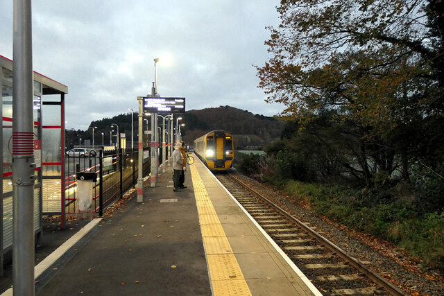
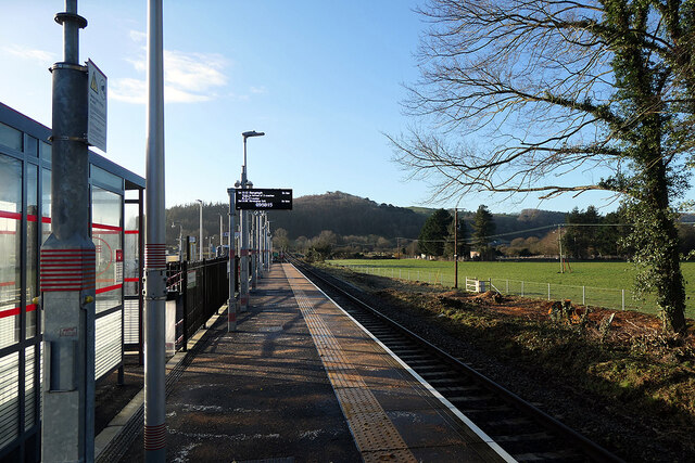
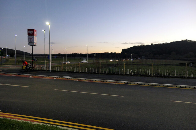
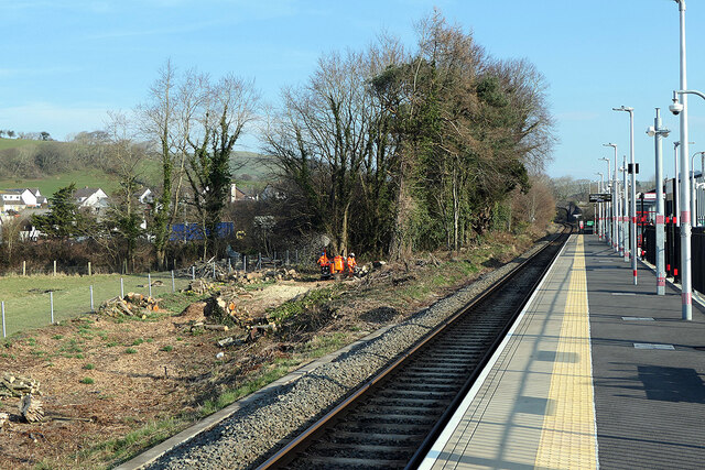
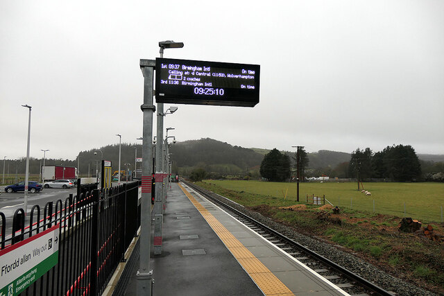
Bow Street railway station
Bow Street is a railway station on the Cambrian Line, which runs between Shrewsbury and Aberystwyth or Pwllheli. The station, situated 4 miles 30 chains...
Pen-y-garn, Ceredigion
Pen-y-garn is a small village in the Tirymynach district of Ceredigion, Wales, approximately 4 miles (6 km) north-east of Aberystwyth. Along with the hamlet...

Tirymynach
Tirymynach (Welsh pronunciation: [ˌtir ə ˈmənaχ]) is a community in Ceredigion, Wales, also an electoral ward, which lies immediately to the north of Aberystwyth...
Nearby Amenities
Located within 500m of 52.443421,-4.024917Have you been to Bow Street?
Leave your review of Bow Street below (or comments, questions and feedback).