Coed Henllys

Wood, Forest in Cardiganshire

Wales

Coed Henllys

Maesnewydd Farm
Maesnewydd Farm Credit: Eirian Evans

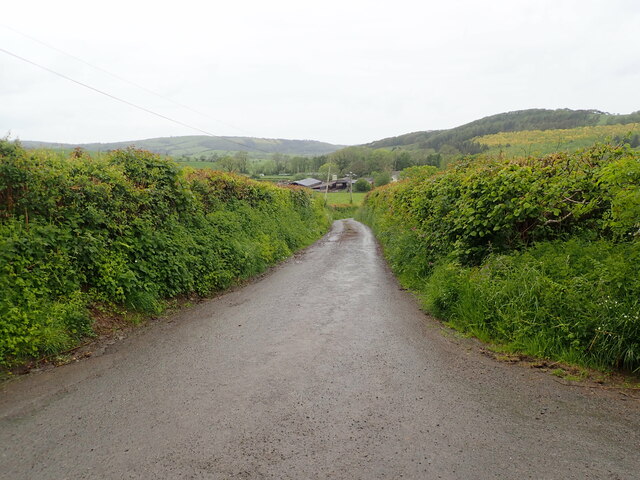
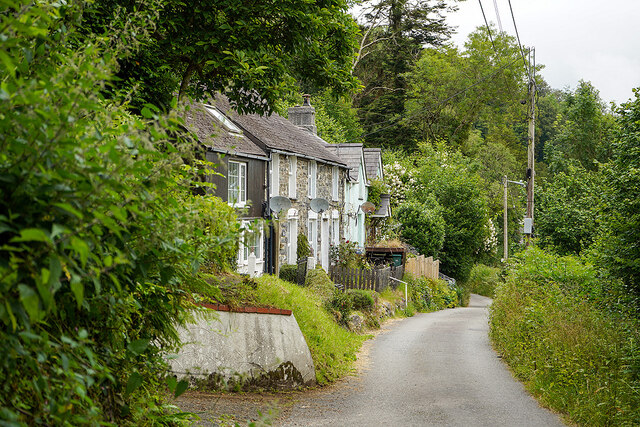
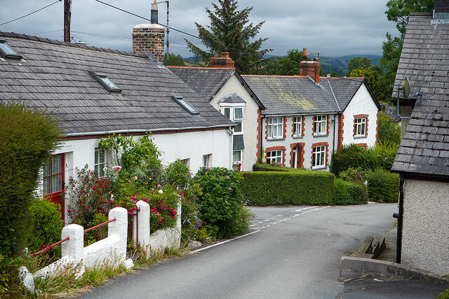
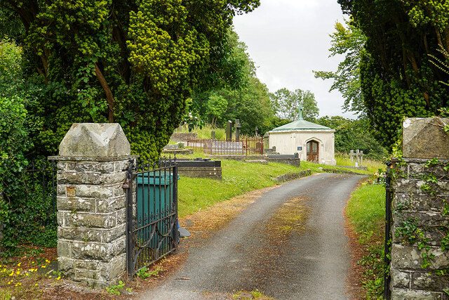
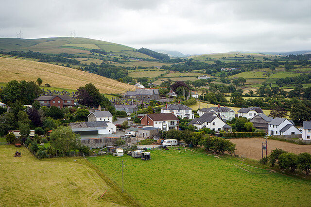
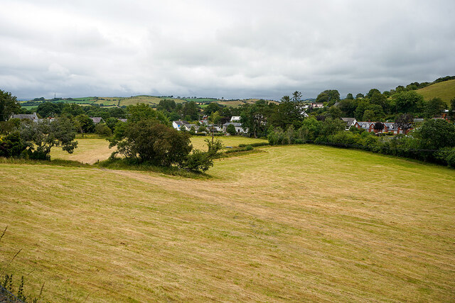
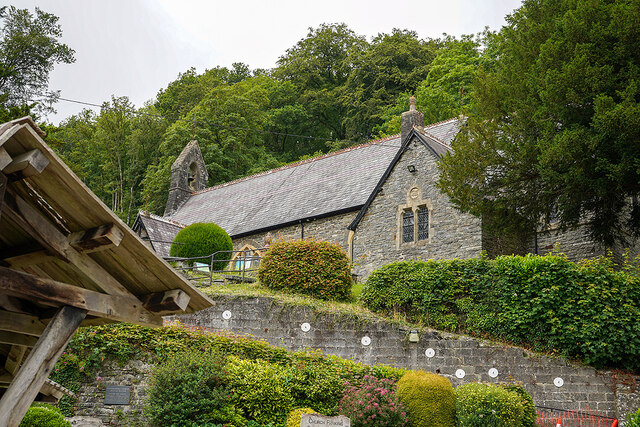
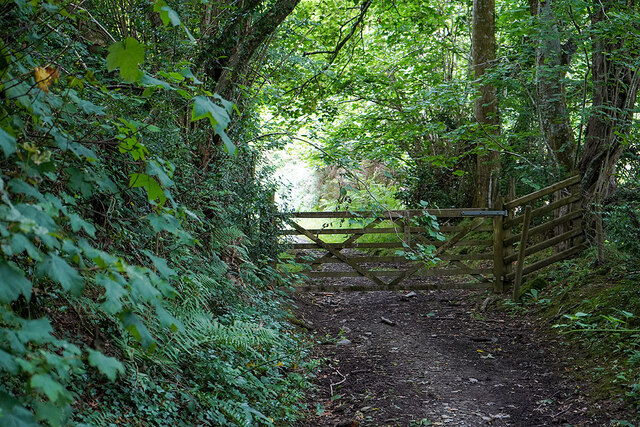
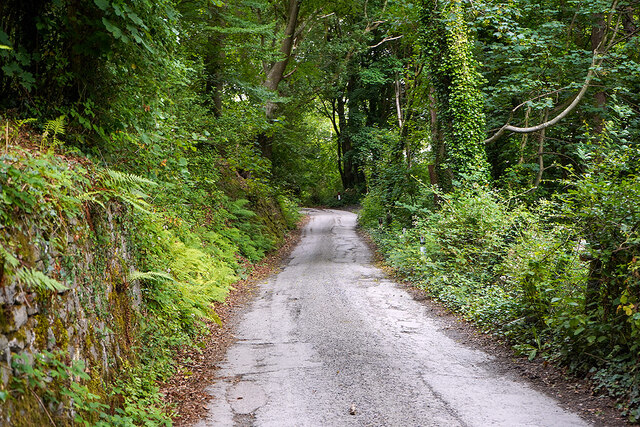
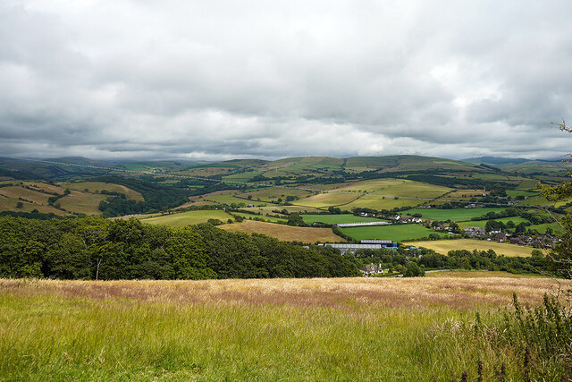
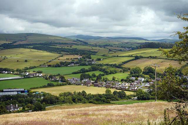
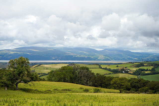
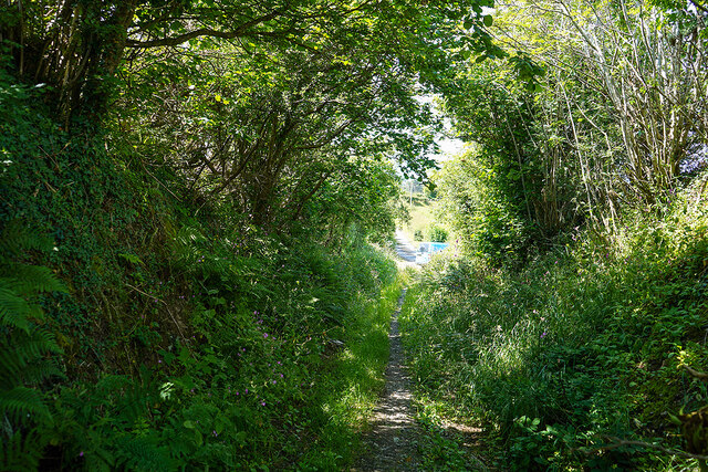
Coed Henllys is a picturesque woodland located in Cardiganshire, a county in Wales. Spread over a vast area, the forest offers a serene and tranquil escape from the bustling city life. The woodland is known for its rich biodiversity and stunning natural beauty, attracting nature enthusiasts and outdoor adventurers alike.

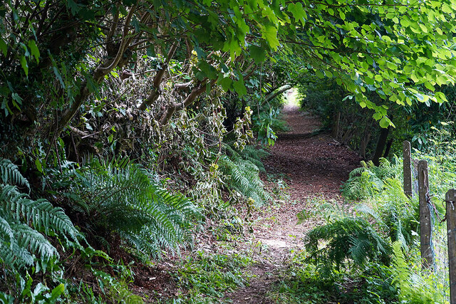
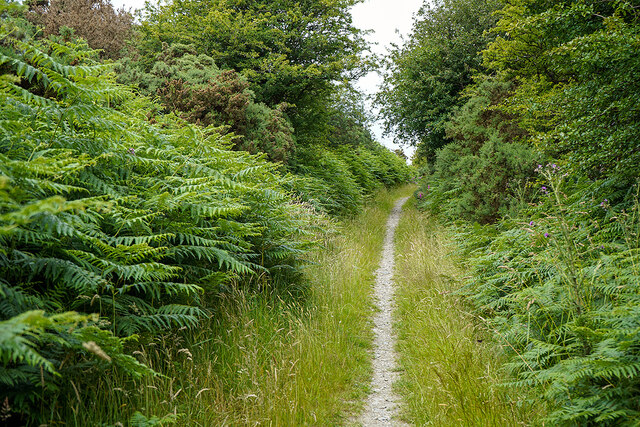
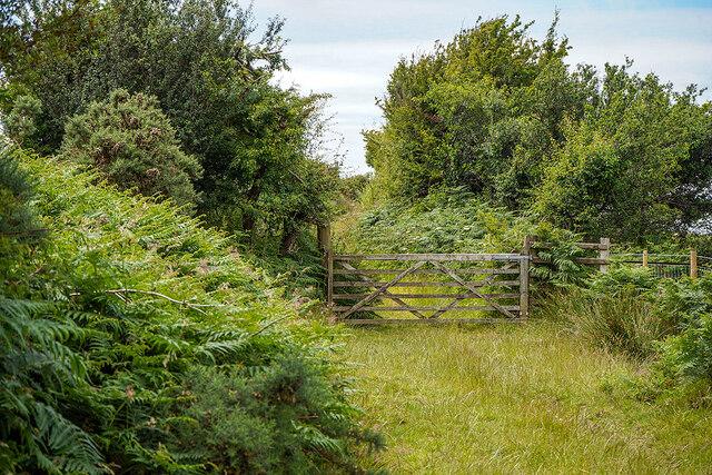
The forest is predominantly filled with a variety of native tree species, including oak, beech, and birch trees, which create a dense and lush canopy. The undergrowth is adorned with vibrant wildflowers and ferns, adding to the overall charm of the woodland. The forest floor is covered with a thick layer of moss, making it a soft and comfortable surface to walk on.

Coed Henllys is home to a diverse range of wildlife, including numerous bird species, such as woodpeckers, owls, and various songbirds. It is not uncommon to spot squirrels, rabbits, and even deer roaming freely in the forest. The presence of a small stream adds to the ecosystem's diversity, attracting insects, amphibians, and small aquatic creatures.

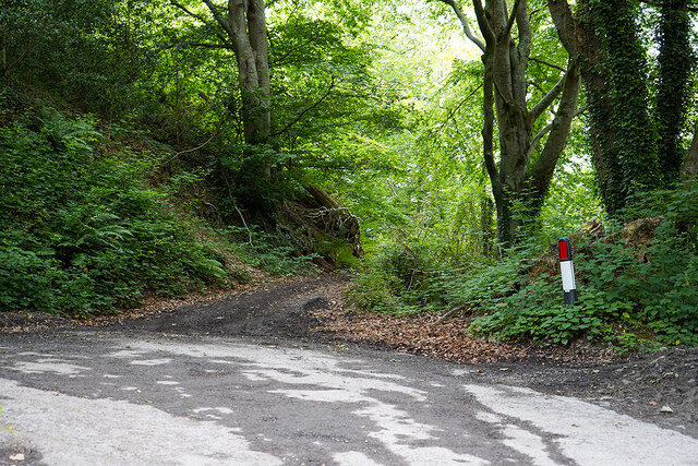
The woodland offers a network of well-maintained walking trails, allowing visitors to explore its beauty at their own pace. These trails provide breathtaking views of the surrounding countryside and lead to secluded picnic spots, where visitors can relax and immerse themselves in the tranquility of nature.

Coed Henllys is a popular destination for nature walks, family outings, and photography enthusiasts. Its natural beauty and peaceful ambiance make it an ideal place for those seeking respite from the urban chaos and a chance to reconnect with nature.

If you have any feedback on the listing, please let us know in the comments section below.

Coed Henllys Images

Images are sourced within 2km of 52.474256/-4.0198735 or Grid Reference SN6288. Thanks to Geograph Open Source API. All images are credited.

Maesnewydd Farm
Maesnewydd Farm
Cottages on the lane above Llandre On the old road from Bow Street to Llandre.
Cottages on the lane above Llandre
On the old road from Bow Street to Llandre.
Footpath leading to Castell Gwallter Up the hill from Llandre.
Footpath leading to Castell Gwallter
Up the hill from Llandre.
Houses in Llandre
Houses in Llandre
Entrance to lower Llandre Cemetery The graveyard is very extensive, older burials being on the hill behind the camera, by St Michael's Church. The cemetery is extremely well documented and can be found here: <span class="nowrap"><a title="http://www.llandre.org.uk/en/churchyard.php" rel="nofollow ugc noopener" href="http://www.llandre.org.uk/en/churchyard.php">Link</a><img style="margin-left:2px;" alt="External link" title="External link - shift click to open in new window" src="https://s1.geograph.org.uk/img/external.png" width="10" height="10"/></span>
Entrance to lower Llandre Cemetery
The graveyard is very extensive, older burials being on the hill behind the camera, by St Michael's Church. The cemetery is extremely well documented and can be found here: LinkExternal link
A view over Llandre The old school building is visible in the centre of the view. It closed in the 1990s and later became a soft play centre. That subsequently closed in 2016 after a couple of years of operation. The building was being offered for sale in 2017 for £230,000. It is featured on the Waymarking website: <span class="nowrap"><a title="https://www.waymarking.com/waymarks/WMAZRK_Old_Llandre_School_Llandre_Bow_Street_Ceredigion_Wales_UK" rel="nofollow ugc noopener" href="https://www.waymarking.com/waymarks/WMAZRK_Old_Llandre_School_Llandre_Bow_Street_Ceredigion_Wales_UK">Link</a><img style="margin-left:2px;" alt="External link" title="External link - shift click to open in new window" src="https://s1.geograph.org.uk/img/external.png" width="10" height="10"/></span>
A view over Llandre
The old school building is visible in the centre of the view. It closed in the 1990s and later became a soft play centre. That subsequently closed in 2016 after a couple of years of operation. The building was being offered for sale in 2017 for £230,000. It is featured on the Waymarking website: LinkExternal link
The harvest is in Fields at Llandre.
The harvest is in
Fields at Llandre.
Llandre Church Dedicated to St Michael, Church in Wales. The church is set on a steep hillside as is its original associated graveyard. Coed Tyddyn stands behind.
Llandre Church
Dedicated to St Michael, Church in Wales. The church is set on a steep hillside as is its original associated graveyard. Coed Tyddyn stands behind.
Gate on the old road from Landre to Borth Now a public path.
Gate on the old road from Landre to Borth
Now a public path.
Road in Llandre Leads to a public path which leads over the hills to Borth. The metalled road joins another just ahead and forms a very sharp 'V' junction.
Road in Llandre
Leads to a public path which leads over the hills to Borth. The metalled road joins another just ahead and forms a very sharp 'V' junction.
A public path leaving the metalled road in Llandre
Footpath across the hills Leading from Llandre to Borth.
Footpath across the hills
Leading from Llandre to Borth.
Landscape north of Llandre Turbines of Mynyddgorddu wind farm are just visible.
Landscape north of Llandre
Turbines of Mynyddgorddu wind farm are just visible.
A view over Ty'n-y-parc North of Llandre.
A view over Ty'n-y-parc
North of Llandre.
On the path from Llandre to Borth Above Coed Tynyllechwedd with a view towards the Dyfi Estuary.
On the path from Llandre to Borth
Above Coed Tynyllechwedd with a view towards the Dyfi Estuary.
Gate on the hillside On the path from Llandre to Borth.
Gate on the hillside
On the path from Llandre to Borth.
Path becomes a metalled road By Cillolwg farm, above Borth.
Path becomes a metalled road
By Cillolwg farm, above Borth.
Minor roads crossing  In the hills above Borth.
Minor roads crossing
In the hills above Borth.
Show me another place!

Coed Henllys is located at Grid Ref: SN6288 (Lat: 52.474256, Lng: -4.0198735)

Unitary Authority: Ceredigion

Police Authority: Dyfed Powys

What 3 Words

///commit.swim.amuses. Near Borth, Ceredigion

Related Wikis

Henllys, Ceredigion

Henllys, Ceredigion is a small village in the community of Genau'r-glyn, Ceredigion, Wales, which is 77.5 miles (124.8 km) from Cardiff and 178.5 miles...

Penybont, Ceredigion

Penybont is a small village in the community of Genau'r-glyn, Ceredigion, Wales, which is 77.6 miles (124.9 km) from Cardiff and 178.8 miles (287.7 km...

Dôl-y-bont

Dol-y-bont ("bridge meadow") is a village in Ceredigion, Wales; It lies near Borth, to the north of Llandre. Dôl is Welsh for "meadow", Pont is Welsh...

Taigwynion

Taigwynion is a hamlet 1 km ENE of Llandre in Ceredigion, Wales. It has 11 houses and a postcode of its own, SY24 5AG. == Toponymy == Taigwynion has no...

Nearby Amenities

Located within 500m of 52.474256,-4.0198735
Post Box
Operator: Royal Mail
Post Box Type: wall
Ref: SY24 76
Lat/Long: 52.4730987/-4.0269546
Riverside Caravan And Camping Park
Source: local_knowledge
Tourism: camp_site
Lat/Long: 52.4726075/-4.0139942
Henllys
Place: isolated_dwelling
Wikidata: Q15989247
Wikipedia: en:Henllys, Ceredigion
Lat/Long: 52.4759088/-4.018181
Penybont
Place: hamlet
Wikidata: Q15989293
Wikipedia: en:Penybont, Ceredigion
Lat/Long: 52.4740828/-4.0269506
Barrier: stile
Lat/Long: 52.4731169/-4.0261831
Barrier: stile
Lat/Long: 52.4732644/-4.0248734
Barrier: stile
Lat/Long: 52.4727483/-4.016606
Barrier: kissing_gate
Lat/Long: 52.4720911/-4.0149605
The data included in this document is from www.openstreetmap.org. The data is made available under ODbL.

Have you been to Coed Henllys?

Leave your review of Coed Henllys below (or comments, questions and feedback).