Pen-y-bont
Settlement in Cardiganshire
Wales
Pen-y-bont

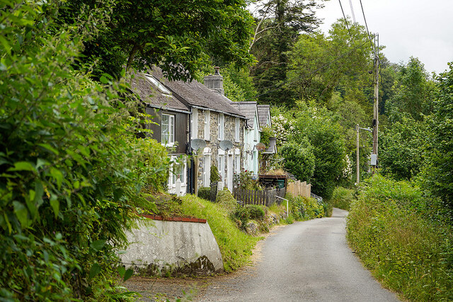
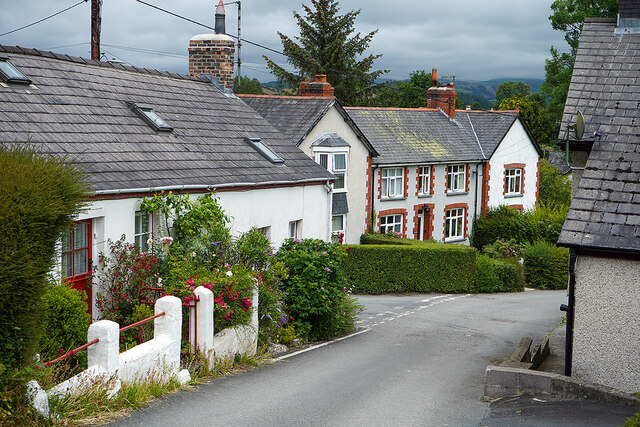
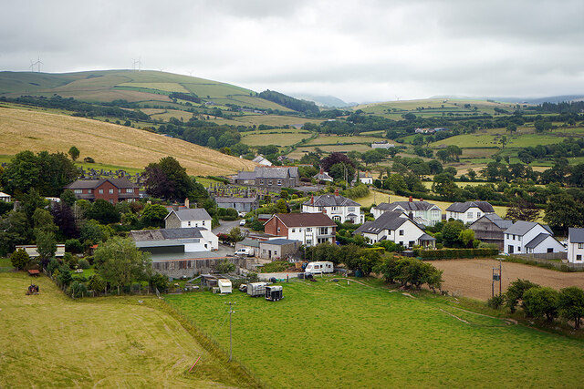
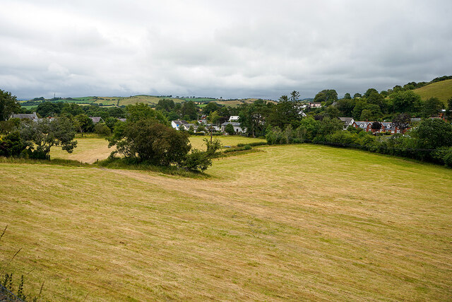
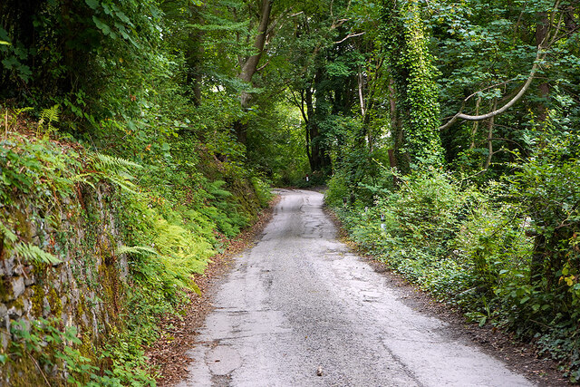
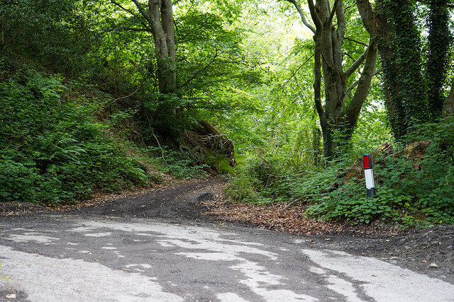
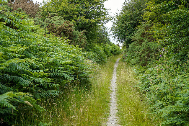
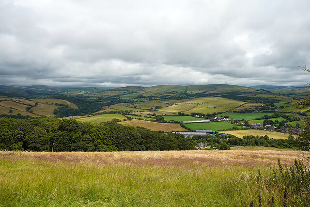
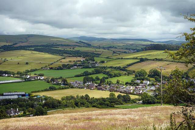
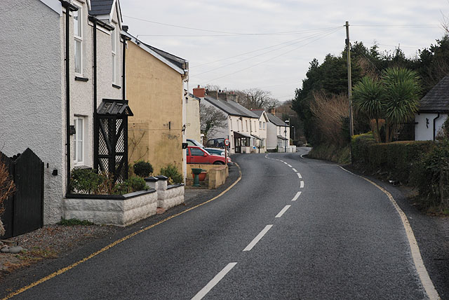
Pen-y-bont is a small village located in the county of Cardiganshire, Wales. Situated near the coast, it lies approximately 4 miles north of the town of Aberystwyth. The village is nestled in a picturesque valley, surrounded by rolling hills and lush green countryside.
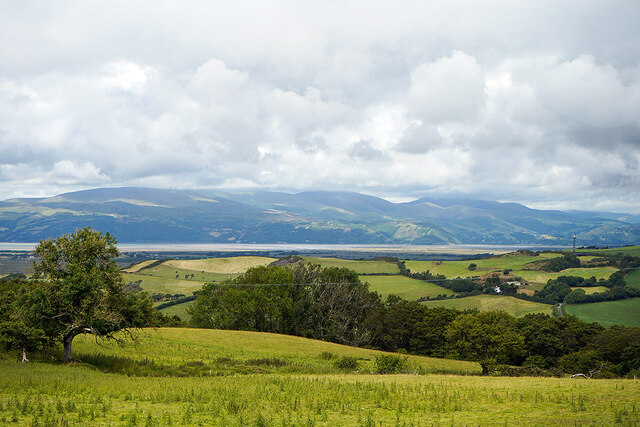
Pen-y-bont is known for its stunning natural beauty and tranquil atmosphere. It offers breathtaking views of the nearby Cambrian Mountains and is bordered by the River Ystwyth, which adds to its charm. The village is also close to the popular holiday destination of Borth, which boasts a beautiful sandy beach and a golf course.
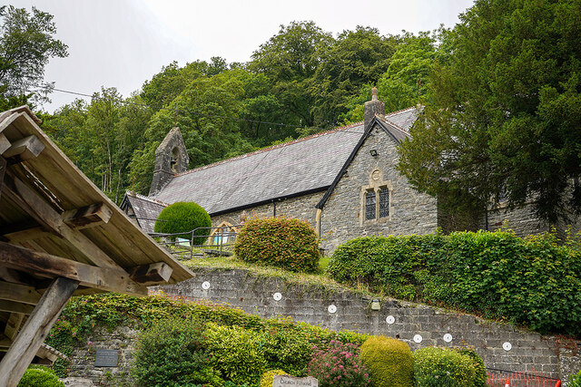
Despite its small size, Pen-y-bont has a close-knit community that takes pride in its Welsh heritage. The Welsh language is still widely spoken here, and traditional customs and festivals are celebrated throughout the year. The village has a primary school, a church, and a few local businesses, including a pub and a convenience store.
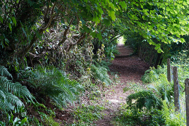
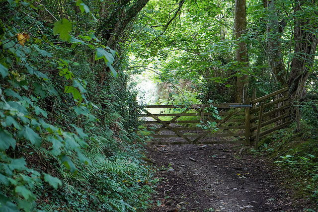
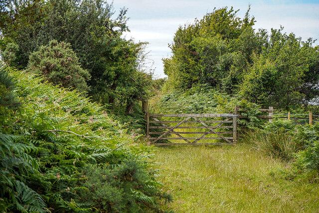
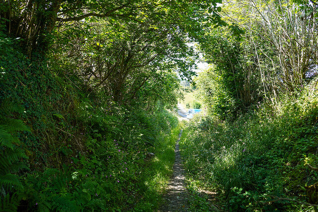
The surrounding area provides ample opportunities for outdoor activities, such as hiking, cycling, and fishing. There are numerous walking trails that lead to scenic spots, including the majestic Hafod Estate and the stunning Devil's Bridge Falls. The village is also within easy reach of the popular Vale of Rheidol Railway, which offers a nostalgic steam train journey through the picturesque Rheidol Valley.
Overall, Pen-y-bont is a delightful village that offers a peaceful escape from the hustle and bustle of city life. Its natural beauty, friendly community, and proximity to both coast and countryside make it an attractive place for both residents and visitors alike.
If you have any feedback on the listing, please let us know in the comments section below.
Pen-y-bont Images
Images are sourced within 2km of 52.474038/-4.0275 or Grid Reference SN6288. Thanks to Geograph Open Source API. All images are credited.

Pen-y-bont is located at Grid Ref: SN6288 (Lat: 52.474038, Lng: -4.0275)
Unitary Authority: Ceredigion
Police Authority: Dyfed Powys
Also known as: Penybont
What 3 Words
///fruits.clasping.wreck. Near Borth, Ceredigion
Nearby Locations
Related Wikis

Penybont, Ceredigion
Penybont is a small village in the community of Genau'r-glyn, Ceredigion, Wales, which is 77.6 miles (124.9 km) from Cardiff and 178.8 miles (287.7 km...

Dôl-y-bont
Dol-y-bont ("bridge meadow") is a village in Ceredigion, Wales; It lies near Borth, to the north of Llandre. Dôl is Welsh for "meadow", Bont is Welsh...
Henllys, Ceredigion
Henllys, Ceredigion is a small village in the community of Genau'r-glyn, Ceredigion, Wales, which is 77.5 miles (124.8 km) from Cardiff and 178.5 miles...
Glan-y-wern
Glan-y-wern is a hamlet in the community of Borth, Ceredigion, Wales, which is 78.2 miles (125.9 km) from Cardiff and 179.6 miles (289 km) from London...

Llandre
Llandre, or Llanfihangel Genau'r Glyn, is a village in Ceredigion, Wales. It lies 5 miles north of Aberystwyth in the north-west of the county, on the...
Taigwynion
Taigwynion is a hamlet 1 km ENE of Llandre in Ceredigion, Wales. It has 11 houses and a postcode of its own, SY24 5AG. == Toponymy == Taigwynion has no...

Castell Gwallter
Castell Gwallter, also known as Walter's Castle and sometimes Castell Penweddig, is the remains of a Norman motte-and-bailey castle situated on a large...
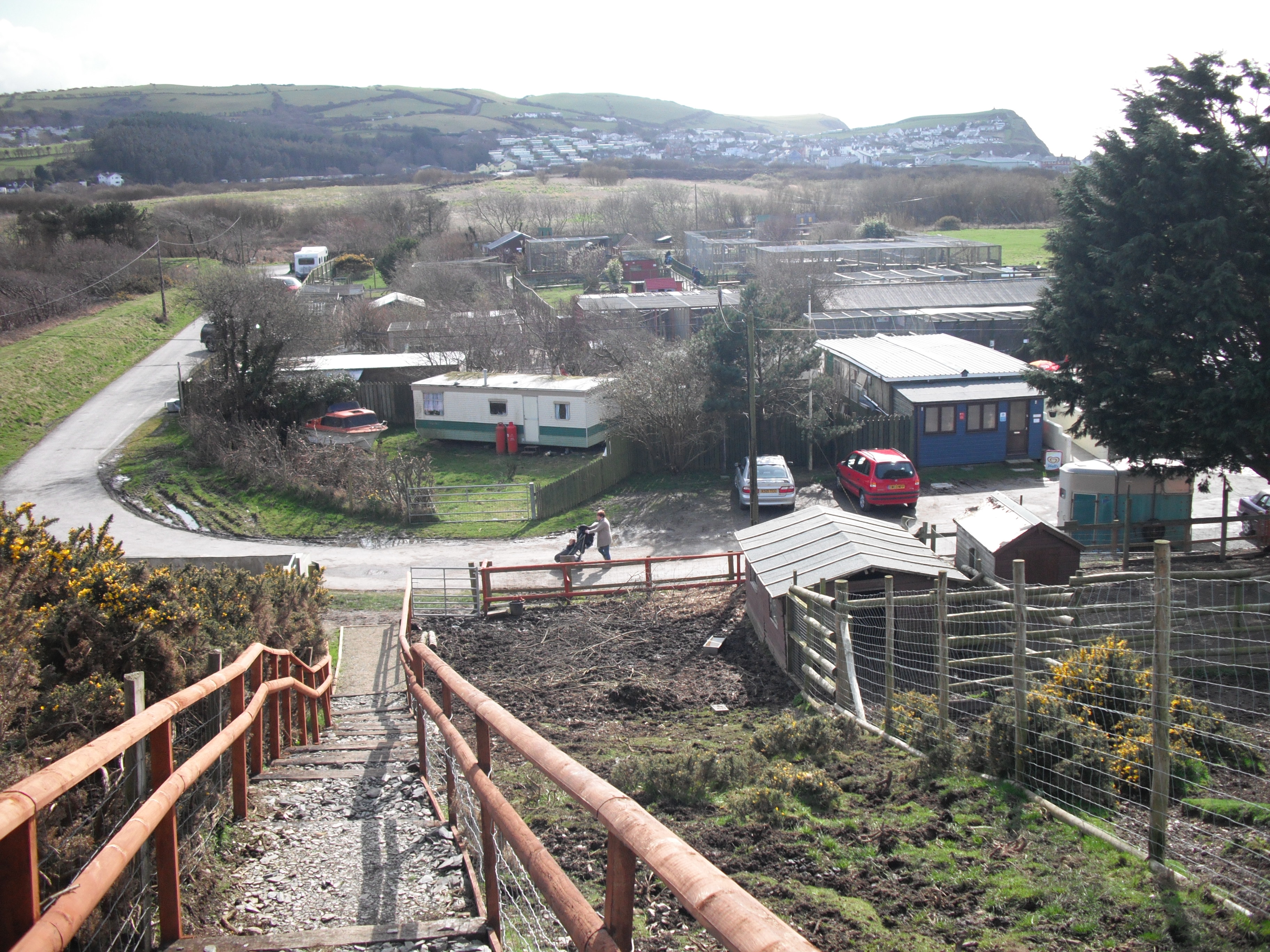
Borth Wild Animal Kingdom
Borth Wild Animal Kingdom, formerly known as Borth Animalarium, is a zoo, located in the seaside Welsh town of Borth, 7 miles north of Aberystwyth in the...
Nearby Amenities
Located within 500m of 52.474038,-4.0275Have you been to Pen-y-bont?
Leave your review of Pen-y-bont below (or comments, questions and feedback).