Coed Nantsiriol
Wood, Forest in Cardiganshire
Wales
Coed Nantsiriol

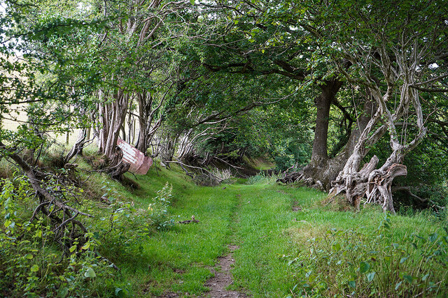
Coed Nantsiriol, located in Cardiganshire, is a picturesque woodland area renowned for its natural beauty and diverse ecosystem. Covering an expansive area, this enchanting forest is characterized by its lush greenery, a mix of deciduous and coniferous trees, and a meandering river that adds to its charm.
The woodland is home to a wide array of flora and fauna, providing a haven for various species. The ancient oak and beech trees tower above the forest floor, creating a dense canopy that filters sunlight and creates a serene atmosphere below. The forest is also populated by birch, ash, and pine trees, contributing to the rich biodiversity of the area.
Wildlife flourishes within the woodland, with an abundance of bird species, such as woodpeckers, owls, and songbirds, filling the air with their melodic tunes. Mammals like deer, foxes, and badgers roam freely, while smaller creatures like squirrels and rabbits can be spotted darting among the undergrowth.
Coed Nantsiriol offers a variety of recreational opportunities for visitors. Hiking trails wind through the forest, allowing nature enthusiasts to explore its hidden corners and discover its many delights. The forest also houses picnic areas, where visitors can relax and enjoy the peaceful surroundings.
In addition to its natural beauty, Coed Nantsiriol holds historical significance. It is believed to have provided shelter for local communities during times of conflict, and remnants of ancient settlements can still be found within the forest.
Overall, Coed Nantsiriol is a captivating woodland that captivates visitors with its tranquility, abundant wildlife, and rich history. It remains a treasured destination for nature lovers and those seeking solace in the embrace of nature.
If you have any feedback on the listing, please let us know in the comments section below.
Coed Nantsiriol Images
Images are sourced within 2km of 52.443066/-4.0428421 or Grid Reference SN6184. Thanks to Geograph Open Source API. All images are credited.


![Ruel-uchaf [farm] Viewed from the path from Bow Street to Landre.](https://s0.geograph.org.uk/geophotos/07/22/02/7220232_bc23c819.jpg)
Coed Nantsiriol is located at Grid Ref: SN6184 (Lat: 52.443066, Lng: -4.0428421)
Unitary Authority: Ceredigion
Police Authority: Dyfed Powys
What 3 Words
///spearing.acquaint.wager. Near Bow Street, Ceredigion
Nearby Locations
Related Wikis

Tirymynach
Tirymynach (Welsh pronunciation: [ˌtir ə ˈmənaχ]) is a community in Ceredigion, Wales, also an electoral ward, which lies immediately to the north of Aberystwyth...

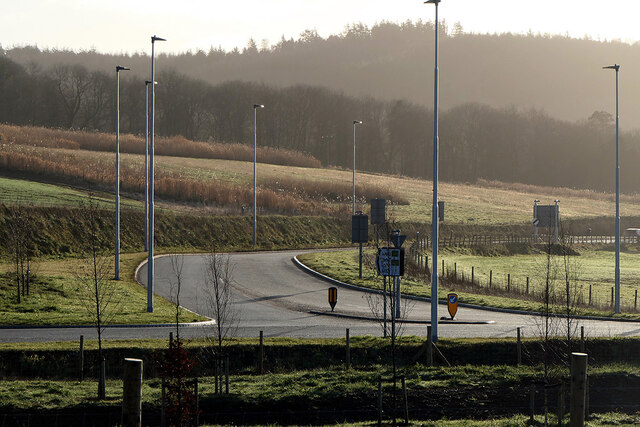
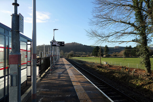
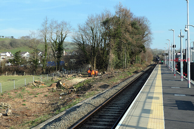
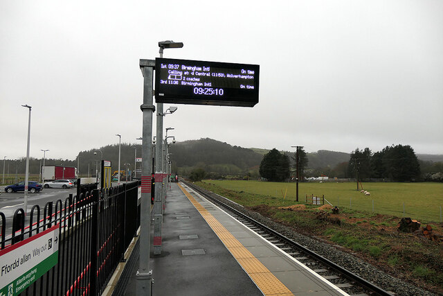
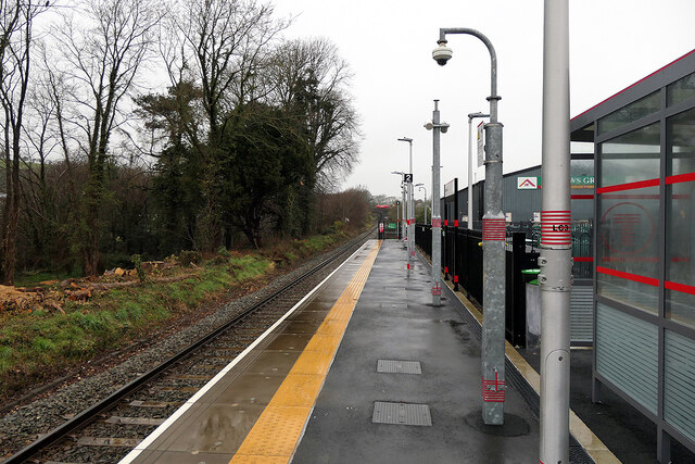
Bow Street railway station
Bow Street is a railway station on the Cambrian Line, which runs between Shrewsbury and Aberystwyth or Pwllheli. The station, situated 4 miles 30 chains...

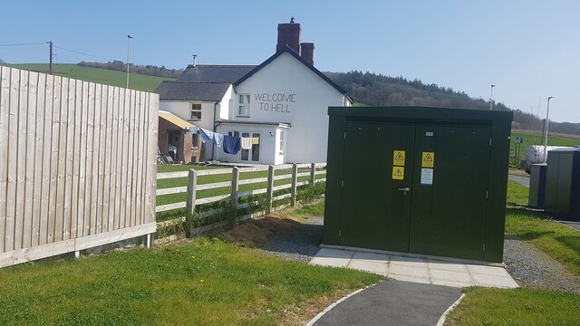
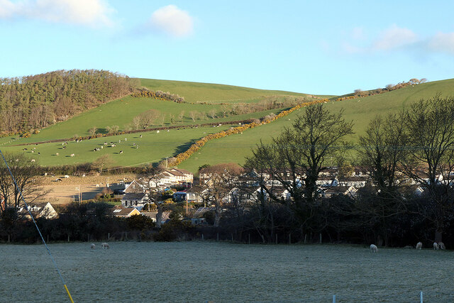
Bow Street, Ceredigion
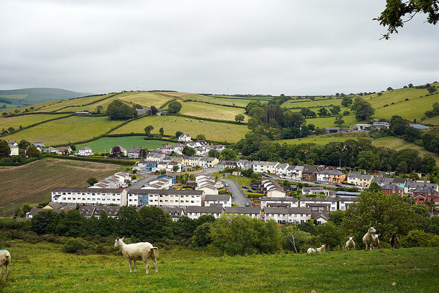
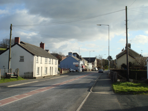
Bow Street is a large village in the Tirymynach district of Ceredigion, Wales, approximately 3.5 miles (5.6 km) north-east of Aberystwyth. As well as Bow...
Pen-y-garn, Ceredigion
Pen-y-garn is a small village in the Tirymynach district of Ceredigion, Wales, approximately 4 miles (6 km) north-east of Aberystwyth. Along with the hamlet...
Nearby Amenities
Located within 500m of 52.443066,-4.0428421Have you been to Coed Nantsiriol?
Leave your review of Coed Nantsiriol below (or comments, questions and feedback).