Dolfriog Woods

Wood, Forest in Merionethshire

Wales

Dolfriog Woods

Landscape North of Croesor Yr Arddu in the background.
Landscape North of Croesor Credit: Chris Andrews

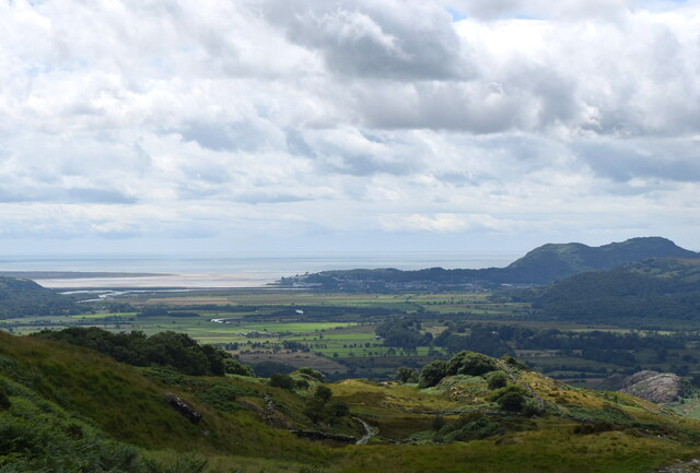
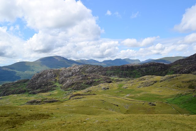
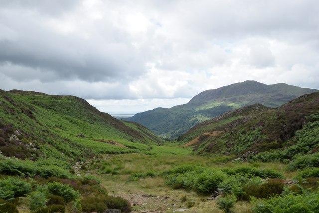
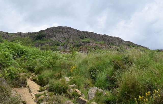
Dolfriog Woods is a mesmerizing woodland located in the county of Merionethshire, Wales. Covering an expansive area, this enchanting forest is a nature lover's paradise, attracting visitors from near and far.

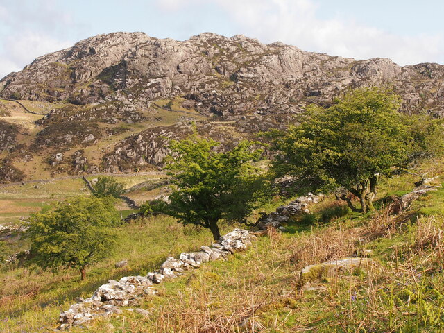
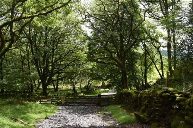
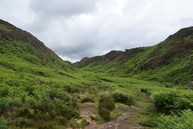
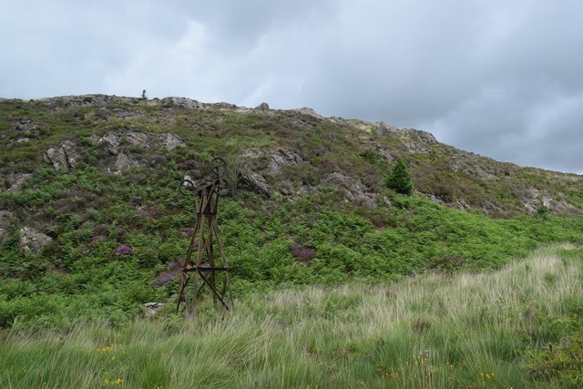
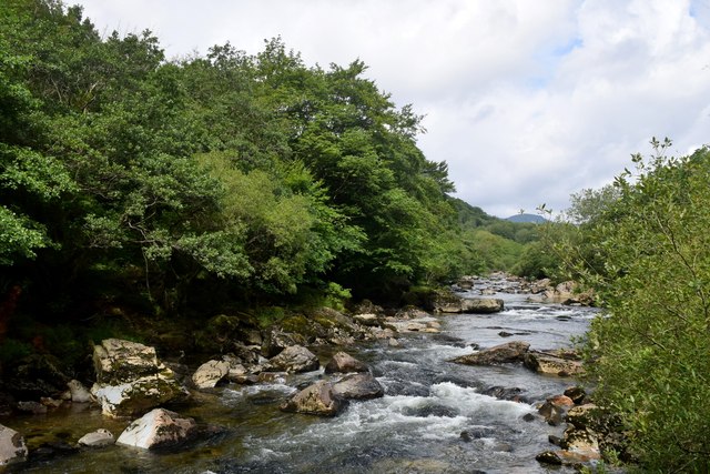
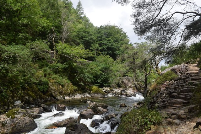
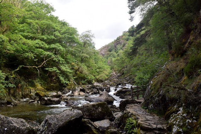
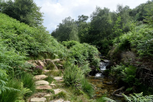
Nestled amidst the picturesque countryside, Dolfriog Woods boasts an impressive variety of tree species, including oak, beech, and pine trees. The dense canopy of foliage provides a serene and peaceful ambiance, making it an ideal destination for those seeking tranquility and a connection with nature. The forest floor is adorned with a vibrant carpet of wildflowers, adding bursts of color to the landscape throughout the seasons.

The woods are also home to a diverse range of wildlife, making it a haven for animal enthusiasts. Birdwatchers can delight in spotting various species, such as woodpeckers and owls, while nature enthusiasts may encounter elusive creatures like foxes, badgers, and deer.

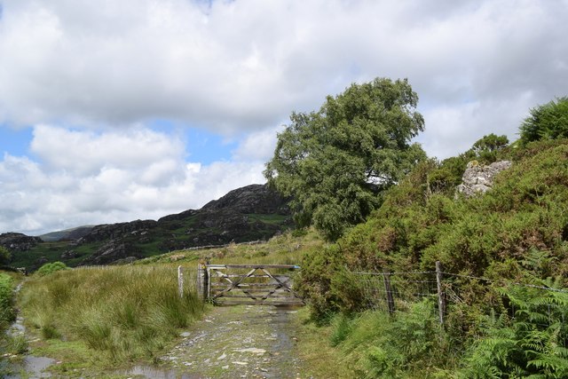
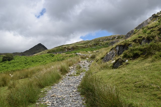
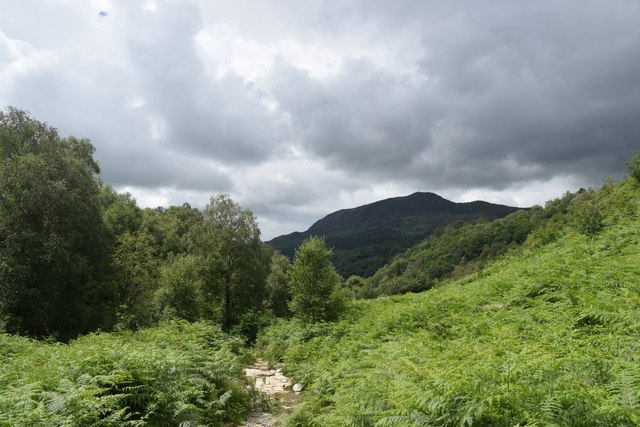
For outdoor enthusiasts, Dolfriog Woods offers an array of walking and hiking trails that meander through the forest, allowing visitors to explore its beauty at their own pace. The trails are well-maintained, ensuring easy access for all. Additionally, there are designated picnic areas where visitors can enjoy a leisurely lunch amidst the stunning natural surroundings.

Dolfriog Woods is a cherished gem in Merionethshire, attracting visitors who seek solace in nature's embrace. Its breathtaking beauty, diverse wildlife, and tranquil atmosphere make it a must-visit destination for anyone looking to immerse themselves in the wonders of the Welsh countryside.

If you have any feedback on the listing, please let us know in the comments section below.

Dolfriog Woods Images

Images are sourced within 2km of 52.99308/-4.0687894 or Grid Reference SH6145. Thanks to Geograph Open Source API. All images are credited.

Landscape North of Croesor Yr Arddu in the background.
Landscape North of Croesor
Yr Arddu in the background.
Track through the woods... ...to the west of Croesor.
Track through the woods...
...to the west of Croesor.
Parting of the paths The Snowdonia Slate Trail to the left, the start of the ascent to Cnicht to the right...
Parting of the paths
The Snowdonia Slate Trail to the left, the start of the ascent to Cnicht to the right...
Climbing towards Cnicht The path of slate and granite chips is mostly well-defined.  Cnicht looms in the background.
Climbing towards Cnicht
The path of slate and granite chips is mostly well-defined. Cnicht looms in the background.
Looking back towards the coast The Glaslyn estuary and Porthmadog, some 10 km away, with clouds starting to gather...
Looking back towards the coast
The Glaslyn estuary and Porthmadog, some 10 km away, with clouds starting to gather...
Looking towards Yr Arddu Yr Arddu is an igneous intrusion of rhyolite, being bedrock formed between 485.4 and 443.8 million years ago during the Ordovician period.   There are countless sheep in the blown-up photo...
Looking towards Yr Arddu
Yr Arddu is an igneous intrusion of rhyolite, being bedrock formed between 485.4 and 443.8 million years ago during the Ordovician period. There are countless sheep in the blown-up photo...
Hiking up Cwm Bychan
Remains of the cableway, Cwm Bychan This once transported copper ore down the valley.
Remains of the cableway, Cwm Bychan
This once transported copper ore down the valley.
Cableway tower, Cwm Bychan
Looking back down Cwm Bychan In the far distance, the sands of the Glaslyn estuary can just be seen under looming clouds.
Looking back down Cwm Bychan
In the far distance, the sands of the Glaslyn estuary can just be seen under looming clouds.
Old Milestone, A4085, Pont Aberglaslyn Carved in slate at the junction with the A498 on the parapet of the bridge crossing Afon Glaslyn. Penrhyn Deudraeth translates as "two beach peninsula". More milestones on the bridge or near see <a title="https://www.geograph.org.uk/stuff/list.php?title=Old+Milestone&gridref=SH5946" href="https://www.geograph.org.uk/stuff/list.php?title=Old+Milestone&gridref=SH5946">Link</a>

Inscription: Penrhyndeudraeth 6 Miles ☛

Milestone Society National ID: CAE_PYBD06a
Old Milestone, A4085, Pont Aberglaslyn
Carved in slate at the junction with the A498 on the parapet of the bridge crossing Afon Glaslyn. Penrhyn Deudraeth translates as "two beach peninsula". More milestones on the bridge or near see Link Inscription: Penrhyndeudraeth 6 Miles ☛ Milestone Society National ID: CAE_PYBD06a
Bridge House, A498, Pont Aberglaslyn Former Toll House opposite the bridge taking the A4085 to Penrhyndeudraeth (peninsula with two beaches). It would have originally served the Porthdinllaen & Nanthwynant Turnpike Trust.

Milestone Society National ID: GWY.BED02
Bridge House, A498, Pont Aberglaslyn
Former Toll House opposite the bridge taking the A4085 to Penrhyndeudraeth (peninsula with two beaches). It would have originally served the Porthdinllaen & Nanthwynant Turnpike Trust. Milestone Society National ID: GWY.BED02
Afon Glaslyn entering the gorge
Path beside Afon Glaslyn The path through the Afon Glaslyn gorge is a spectacular walk but it is wet and slippery and great care must be taken...
Path beside Afon Glaslyn
The path through the Afon Glaslyn gorge is a spectacular walk but it is wet and slippery and great care must be taken...
Afon Glaslyn in the gorge
The path up Cwm Bychan
Storm clouds over Cwm Bychan
Rocky scene in Cwm Bychan The cliff is, I think, part of the Lower Rhyolitic Tuff Formation being igneous bedrock formed between 458.4 and 449 million years ago during the Ordovician period.
Rocky scene in Cwm Bychan
The cliff is, I think, part of the Lower Rhyolitic Tuff Formation being igneous bedrock formed between 458.4 and 449 million years ago during the Ordovician period.
Show me another place!

Dolfriog Woods is located at Grid Ref: SH6145 (Lat: 52.99308, Lng: -4.0687894)

Unitary Authority: Gwynedd

Police Authority: North Wales

What 3 Words

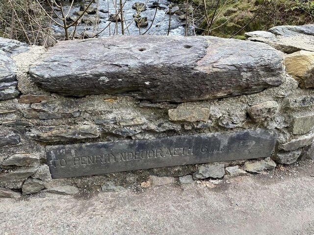
///crossings.native.vent. Near Penrhyndeudraeth, Gwynedd

Nearby Locations

Dolfriog Woods

Related Wikis

Nantmor

Nantmor is a hamlet which lies about 1½ miles to the south of the village of Beddgelert in Gwynedd, Wales. The current spelling of the name Nantmor is...

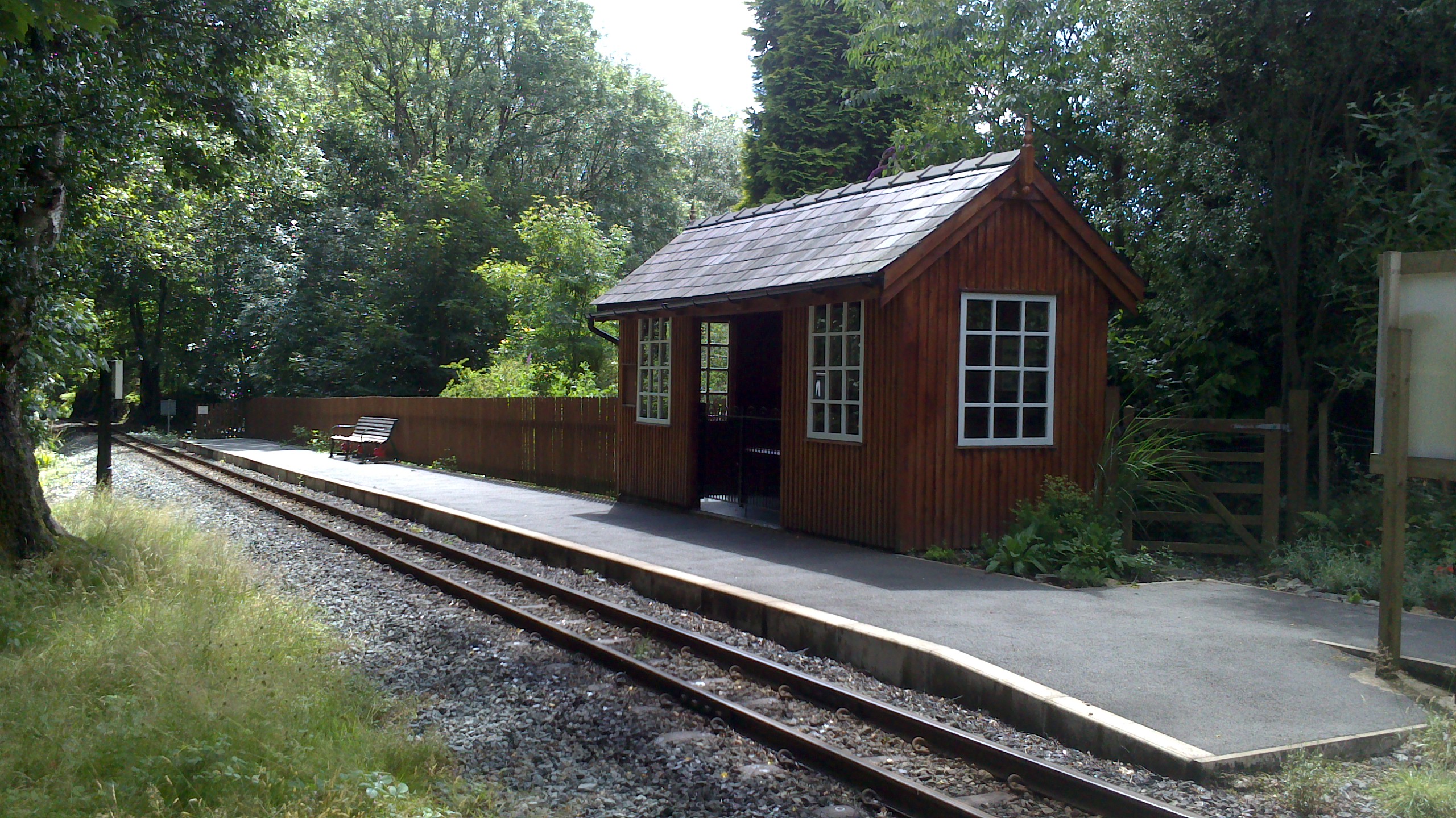
Nantmor railway station

Nantmor is a railway halt in North Wales serving the nearby hamlet of the same name. It is located between the stations of Beddgelert and Pont Croesor...

Yr Arddu (South)

Yr Arddu is a large hill in Snowdonia, Wales (Not to be confused with the 589 metre Yr Arddu (North) to the east of Snowdon). It lies approximately 2.5...

Aberglaslyn Pass

The Aberglaslyn Pass (Welsh: Bwlch Aberglaslyn) is a narrow gorge of considerable beauty in Snowdonia, Gwynedd, north Wales. The A498 road/A4085 road follows...

Pont Aberglaslyn

Pont Aberglaslyn is a stone arch bridge over the Afon Glaslyn and the surrounding hamlet, located near Beddgelert and Nantmor in Gwynedd, north-west Wales...
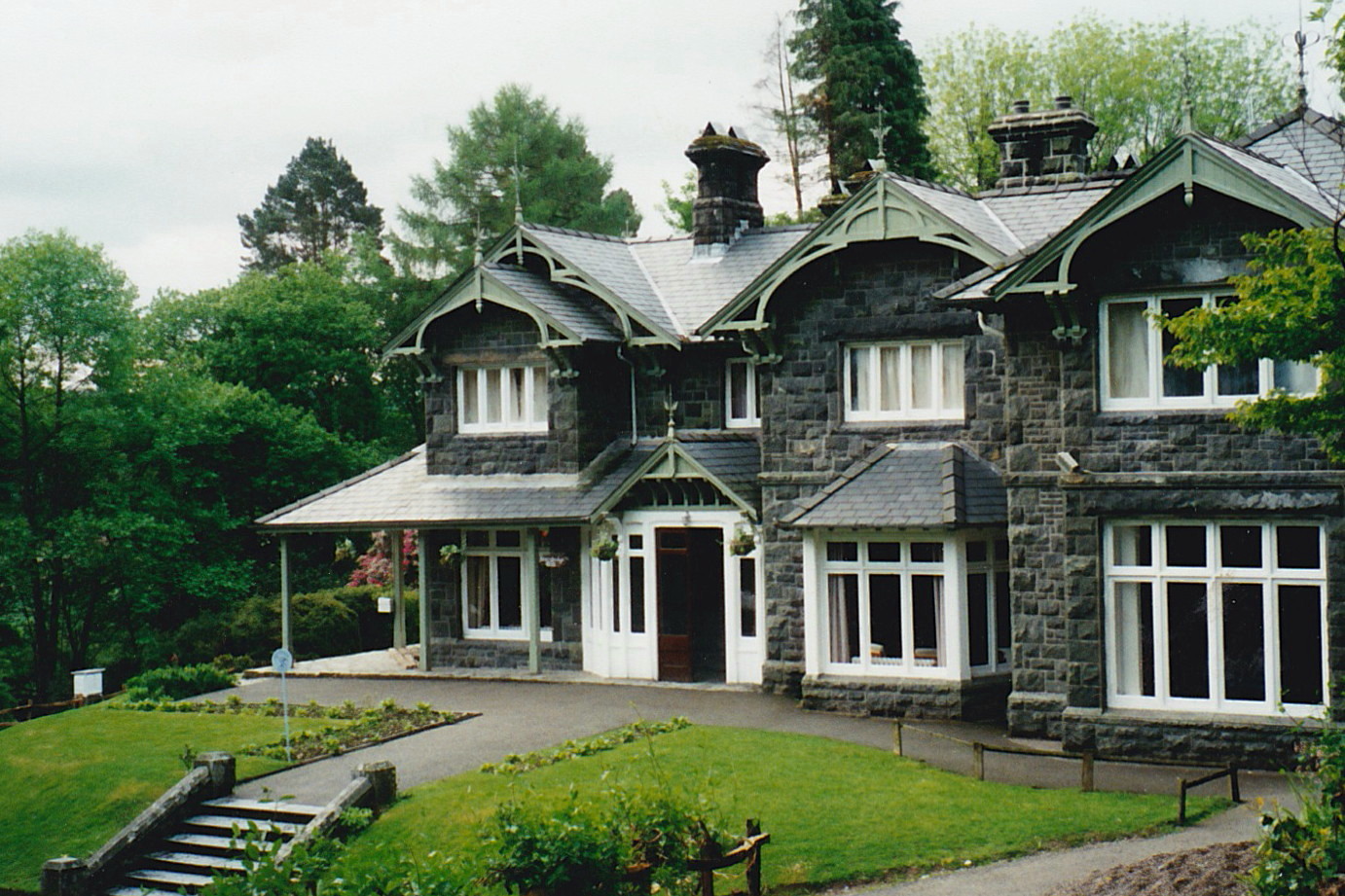
Aberglaslyn Hall

Aberglaslyn Hall is an outdoor learning centre near Beddgelert, North Wales on the edge of the Snowdonia National Park. The hall was purchased by Leicestershire...

Hafod y Llyn railway station

Hafod y Llyn is a halt in North Wales on the Welsh Highland Railway, located between Beddgelert and Pont Croesor. It had been a halt, with a siding for...

Beddgelert Fault

Beddgelert Fault First reported in a Memoir of the British Geological Survey activity ref. Ramsay 1881. It is a SW-NE trending volcanotectonic fault in...

Nearby Amenities

Located within 500m of 52.99308,-4.0687894
Barrier: kissing_gate
Lat/Long: 52.9969999/-4.0698561
Grit Bin
Lat/Long: 52.9965777/-4.0712906
Grit Bin
Lat/Long: 52.9956175/-4.0746958
Power: pole
Lat/Long: 52.9925214/-4.0614422
Power: pole
Lat/Long: 52.9915897/-4.0622177
Power: pole
Lat/Long: 52.9909019/-4.0627487
Power: pole
Lat/Long: 52.9902777/-4.0631998
Hiking: yes
Information: guidepost
Source: GPS survey
Tourism: information
Lat/Long: 52.9941624/-4.0758955
The data included in this document is from www.openstreetmap.org. The data is made available under ODbL.

Have you been to Dolfriog Woods?

Leave your review of Dolfriog Woods below (or comments, questions and feedback).