Y Ffald
Settlement in Cardiganshire
Wales
Y Ffald
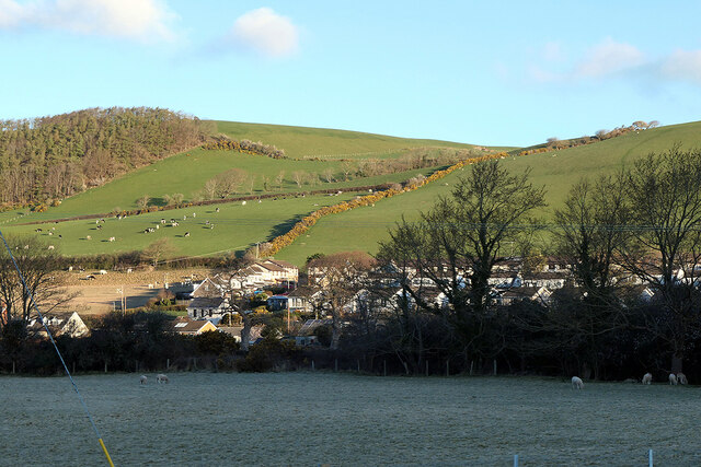
Y Ffald, also known as The Fold, is a small hamlet located in Cardiganshire, Wales. Situated in the picturesque Teifi Valley, this charming village is surrounded by rolling hills and lush green countryside, offering a peaceful and idyllic setting for residents and visitors alike.
The history of Y Ffald dates back centuries, with evidence of human habitation in the area dating back to prehistoric times. The village itself is centered around a historic farmhouse, which has been lovingly restored and preserved over the years, showcasing traditional Welsh architecture and design.
Despite its small size, Y Ffald boasts a strong sense of community spirit. The local residents are known for their warm and welcoming nature, creating a close-knit and friendly atmosphere. The village is home to a handful of amenities, including a local pub where visitors can enjoy traditional Welsh hospitality and locally sourced food and drink.
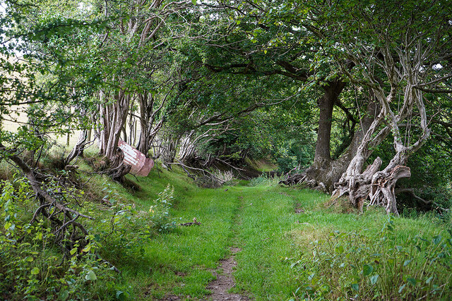
Nature lovers will be delighted by the abundance of outdoor activities available in and around Y Ffald. The surrounding countryside offers numerous walking trails, allowing visitors to explore the stunning natural beauty of the area. The nearby Teifi River is a popular spot for fishing and canoeing, while the rolling hills provide excellent opportunities for hiking and birdwatching.
Y Ffald is a hidden gem in Cardiganshire, offering a tranquil retreat for those seeking to escape the hustle and bustle of everyday life. Its rich history, stunning scenery, and friendly community make it a truly special place to visit or call home.
If you have any feedback on the listing, please let us know in the comments section below.
Y Ffald Images
Images are sourced within 2km of 52.44269/-4.0323335 or Grid Reference SN6184. Thanks to Geograph Open Source API. All images are credited.


Y Ffald is located at Grid Ref: SN6184 (Lat: 52.44269, Lng: -4.0323335)
Unitary Authority: Ceredigion
Police Authority: Dyfed Powys
What 3 Words
///shed.thudding.interview. Near Bow Street, Ceredigion
Nearby Locations
Related Wikis

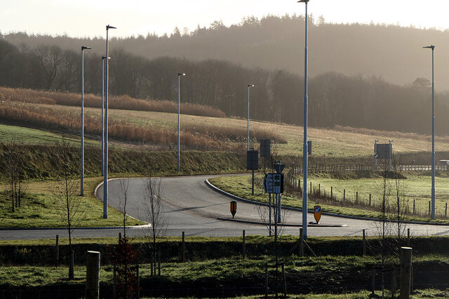
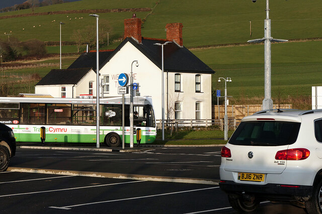
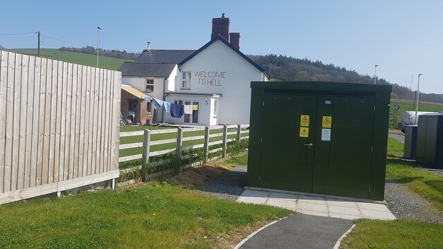
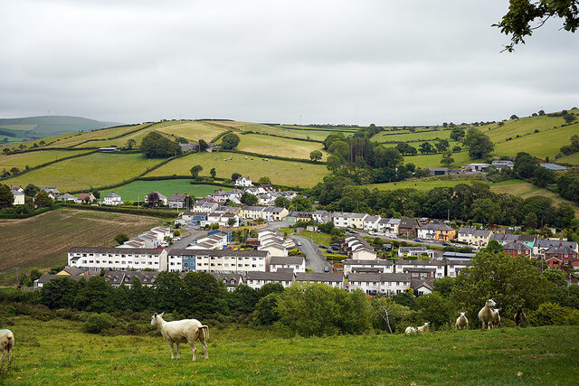
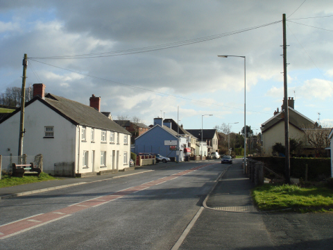
Bow Street, Ceredigion
Bow Street is a large village in the Tirymynach district of Ceredigion, Wales, approximately 3.5 miles (5.6 km) north-east of Aberystwyth. As well as Bow...

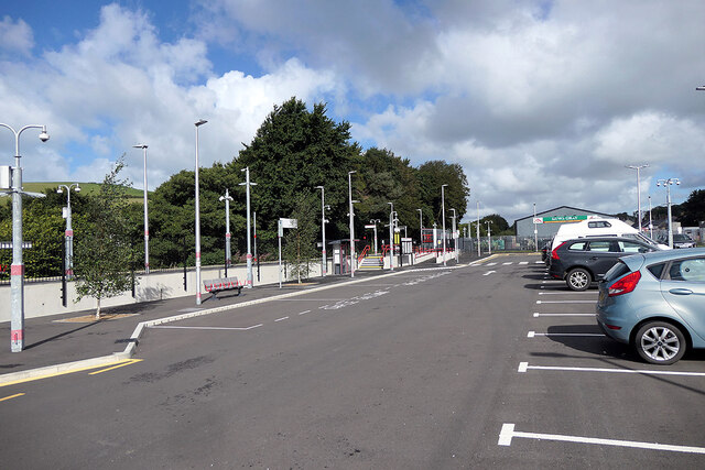
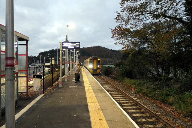
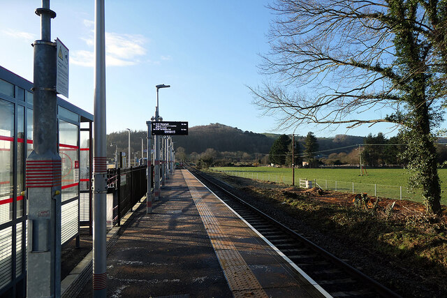
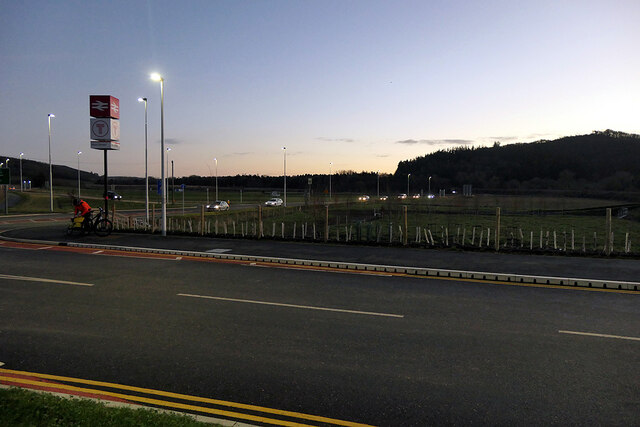
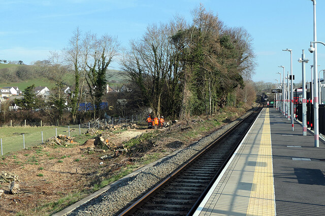
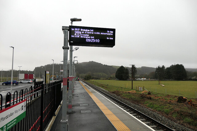
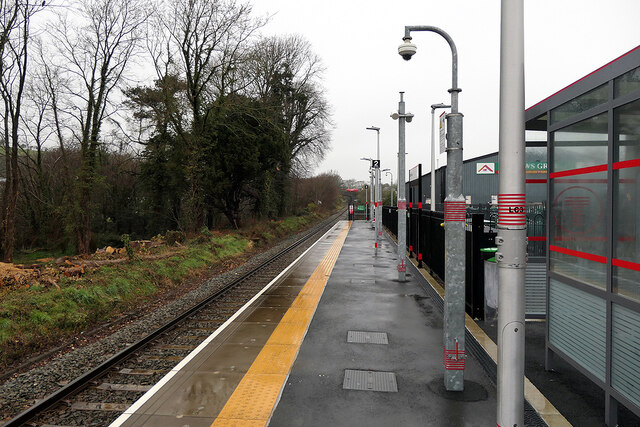
Bow Street railway station
Bow Street is a railway station on the Cambrian Line, which runs between Shrewsbury and Aberystwyth or Pwllheli. The station, situated 4 miles 30 chains...

Tirymynach
Tirymynach is a community in Ceredigion, Wales, also an electoral ward, which lies immediately to the north of Aberystwyth. Tirymynach is represented in...
Pen-y-garn, Ceredigion
Pen-y-garn is a small village in the Tirymynach district of Ceredigion, Wales, approximately 4 miles (6 km) north-east of Aberystwyth. Along with the hamlet...

Bow Street F.C.
Bow Street F.C. are based at Rhydypennau near Bow Street in Ceredigion, Wales, about 4+1⁄2 miles (7.2 km) north-east of Aberystwyth, and are currently...
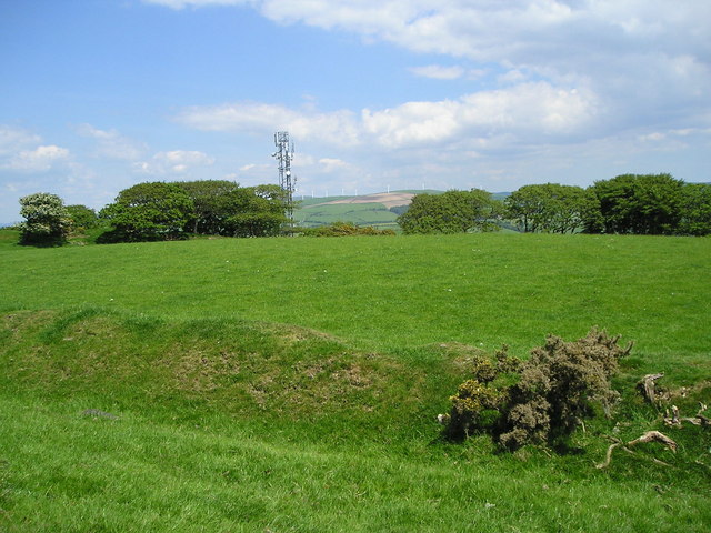
Hen Gaer
Hen Gaer is an Iron Age hillfort, on a hill adjacent to and east of Bow Street, Ceredigion, Wales. Other names of the hillfort are Broncastellan and Caer...
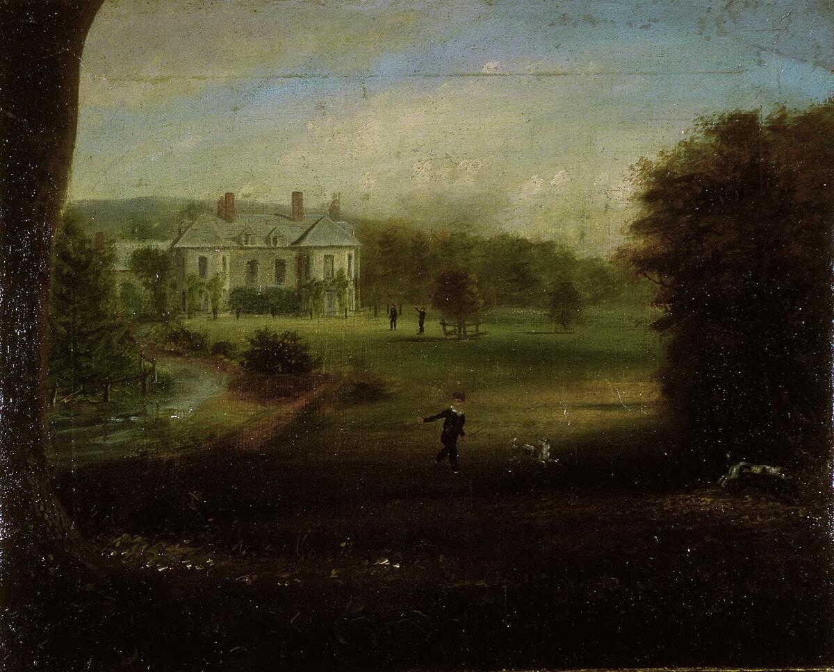
Gogerddan
Gogerddan, or in English, Gogarthen, was an estate near to Trefeurig and the most important in what was then the county of Cardiganshire, Wales. Owned...

Rhydypennau, Ceredigion
Rhydypennau is a hamlet in the Genau'r-glyn district of Ceredigion, Wales, approximately 4+1⁄2 miles (7.2 km) north-east of Aberystwyth. Along with the...
Nearby Amenities
Located within 500m of 52.44269,-4.0323335Have you been to Y Ffald?
Leave your review of Y Ffald below (or comments, questions and feedback).