Allt-glais
Wood, Forest in Cardiganshire
Wales
Allt-glais
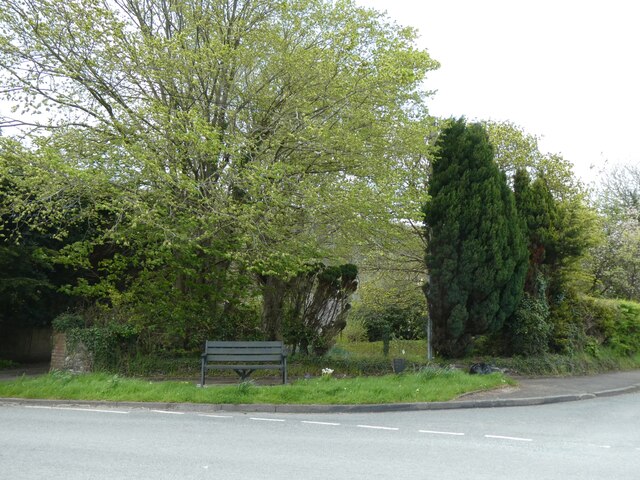
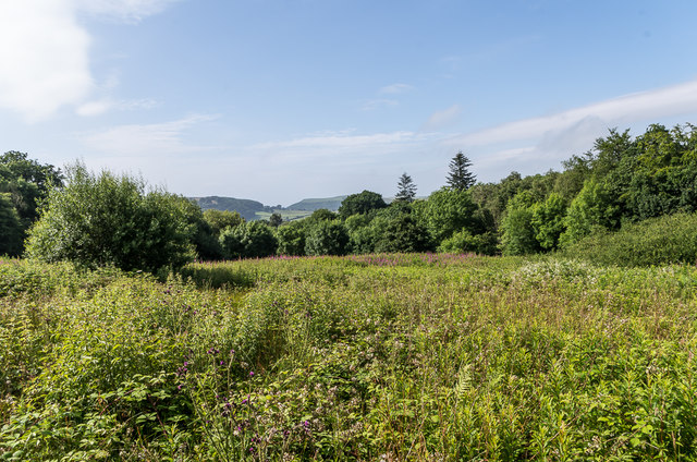
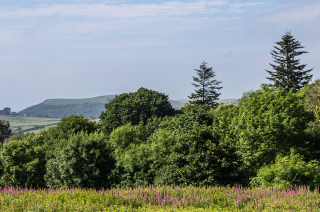
Allt-glais, located in Cardiganshire, Wales, is a picturesque wood or forest. Spread across an area of approximately [insert size], this enchanting natural landscape is a haven for nature enthusiasts and those seeking tranquility.
The forest is characterized by its diverse range of tree species, including oak, birch, beech, and pine, creating a rich tapestry of colors throughout the year. The lush vegetation provides a sheltered habitat for numerous wildlife species, such as deer, foxes, badgers, and a variety of bird species, making Allt-glais an ideal location for birdwatching and wildlife spotting.
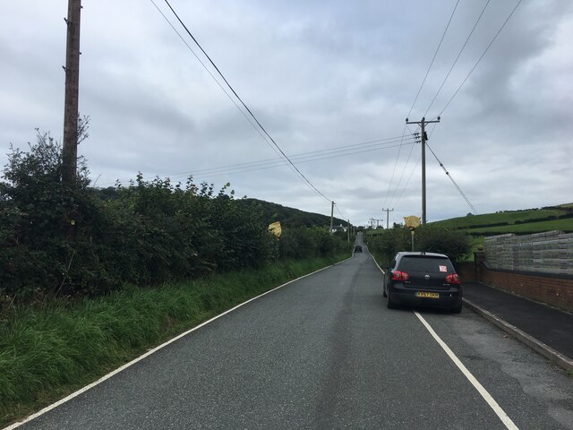
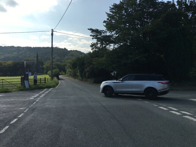
The forest is crisscrossed by a network of well-maintained trails, allowing visitors to explore its beauty on foot or by bike. These paths wind through the woodland, offering breathtaking views and opportunities for peaceful walks amidst nature. Along the way, visitors might encounter babbling brooks, small waterfalls, and hidden clearings, adding to the charm and serenity of the forest.
Allt-glais also boasts a rich history, with ancient ruins and archaeological sites scattered throughout the woodland. These remnants of the past provide glimpses into the lives of those who lived in the area centuries ago.
For those looking to escape the hustle and bustle of everyday life, Allt-glais in Cardiganshire offers a retreat into nature's embrace. Whether it's a leisurely stroll, a bike ride, or simply immersing oneself in the beauty of the forest, this wood is a sanctuary that promises to rejuvenate the soul and ignite a sense of wonder.
If you have any feedback on the listing, please let us know in the comments section below.
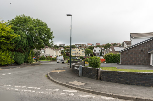
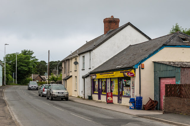
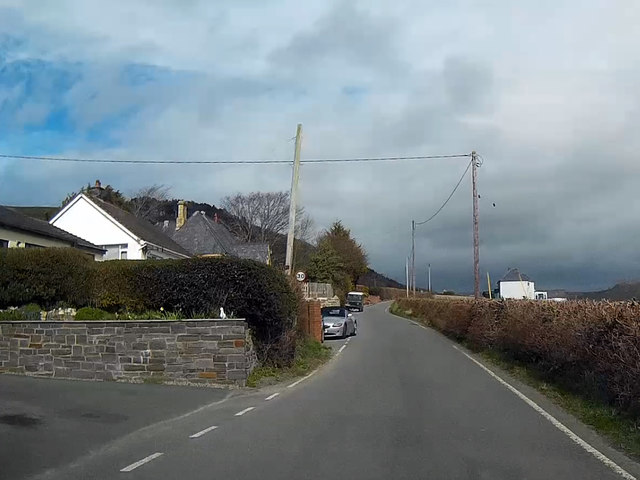
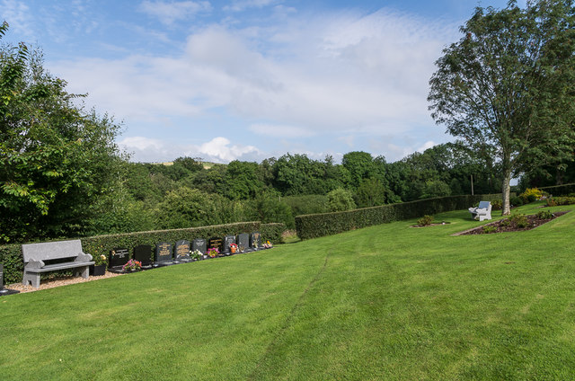
Allt-glais Images
Images are sourced within 2km of 52.430825/-4.0616637 or Grid Reference SN5983. Thanks to Geograph Open Source API. All images are credited.


Allt-glais is located at Grid Ref: SN5983 (Lat: 52.430825, Lng: -4.0616637)
Unitary Authority: Ceredigion
Police Authority: Dyfed Powys
What 3 Words
///eased.crowbar.provoking. Near Aberystwyth, Ceredigion
Nearby Locations
Related Wikis

Afon Clarach
The Afon Clarach (English: River Clarach) is a small river discharging into Cardigan Bay north of Aberystwyth. It flows through a largely agricultural...

Glan-y-môr, Ceredigion
Glan-y-môr is a small village in the community of Tirymynach, Ceredigion, Wales, which is 76.4 miles (123 km) from Cardiff and 180 miles (289.7 km) from...

Aberystwyth University
Aberystwyth University (Welsh: Prifysgol Aberystwyth) is a public research university in Aberystwyth, Wales. Aberystwyth was a founding member institution...
Penglais Nature Park
Penglais Nature Park (Welsh: Parc Natur Penglais) is a woodland situated in Aberystwyth, Ceredigion in Wales. The park is a combination of woodland and...
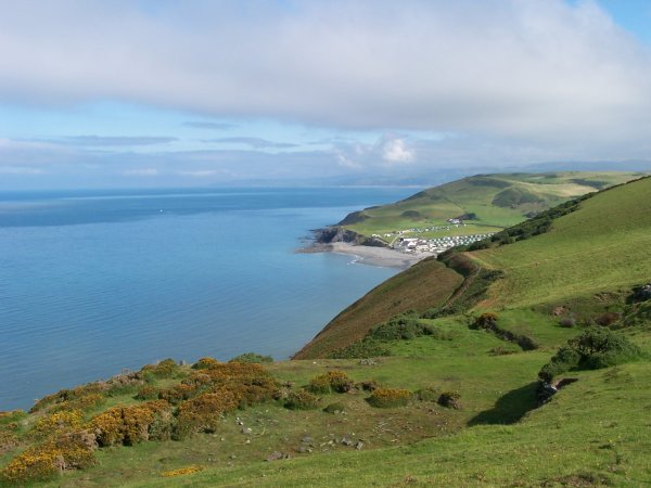
Clarach Bay
Clarach Bay is a small bay on the coast of Ceredigion, Wales, to the north of Aberystwyth, where the Afon Clarach flows into the sea. It has given homes...
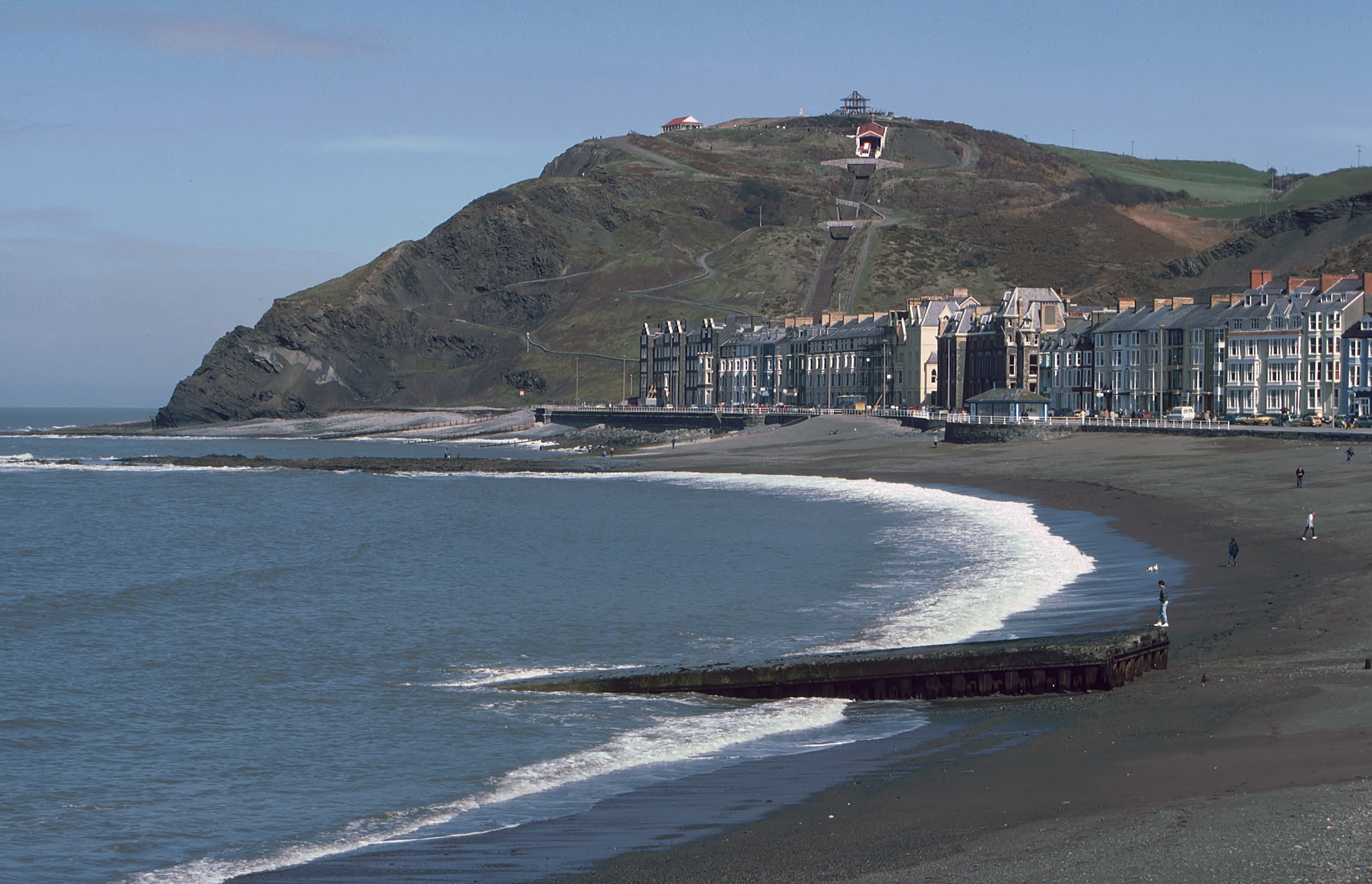
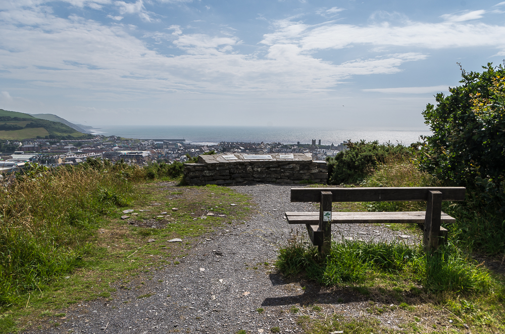
Constitution Hill, Aberystwyth
Constitution Hill (Welsh: Craig-glais Welsh pronunciation: [kreɪg glæs]) is a hill in the Welsh town of Aberystwyth, situated to the north of the town...

Ysgol Penglais School
Ysgol Penglais School (Welsh: Ysgol Penglais) is an 11–18 comprehensive school situated in the town of Aberystwyth, Ceredigion, West Wales. It offers education...
Radio Bronglais
Radio Bronglais is a hospital radio station, transmitting from the grounds of Bronglais Hospital in Wales. It began broadcasting in 1970 and is one of...
Related Videos

🇬🇧🏴Hiking in WALES: Scenic Ceredigion Coast Path to Clarach Bay / 2019 Sep
Map of Ceredigion Coast Path, Wales - UK https://maps.app.goo.gl/gdoheDzVqGhpH9j69.

Aberystwyth Beach Walk, Welsh Countryside 4K
https://www.buymeacoffee.com/Daveswalks All support is hugely appreciated and it helps me keep the channel going! No talking ...

Clarach Bay, Aberystwyth. Mid Wales. Drone footage and photos
Monday 6th September 2021 for 4 nights. Drone used first day when got there after a long drive, took 7 hours with stops and ...

🇬🇧🏴Walking in WALES Aberystwyth city from Train Station to North Beach / 2019 Sept
0:00 from train station through city 9:13 North Beach Map of Aberystwyth, Wales https://goo.gl/maps/Rxwr3JCHbeDZ36WG6.
Nearby Amenities
Located within 500m of 52.430825,-4.0616637Have you been to Allt-glais?
Leave your review of Allt-glais below (or comments, questions and feedback).