Coed Gelli-fawr

Wood, Forest in Carmarthenshire

Wales

Coed Gelli-fawr

Two horses Pace Henry Dallal, this does seem to be a good day to submit a photograph of two horses.

<span class="nowrap"><a title="https://news.sky.com/story/queen-celebrates-96th-birthday-as-new-photograph-released-to-mark-occasion-12594524" rel="nofollow ugc noopener" href="https://news.sky.com/story/queen-celebrates-96th-birthday-as-new-photograph-released-to-mark-occasion-12594524">Link</a><img style="margin-left:2px;" alt="External link" title="External link - shift click to open in new window" src="https://s1.geograph.org.uk/img/external.png" width="10" height="10"/></span>
Two horses Credit: Alan Hughes

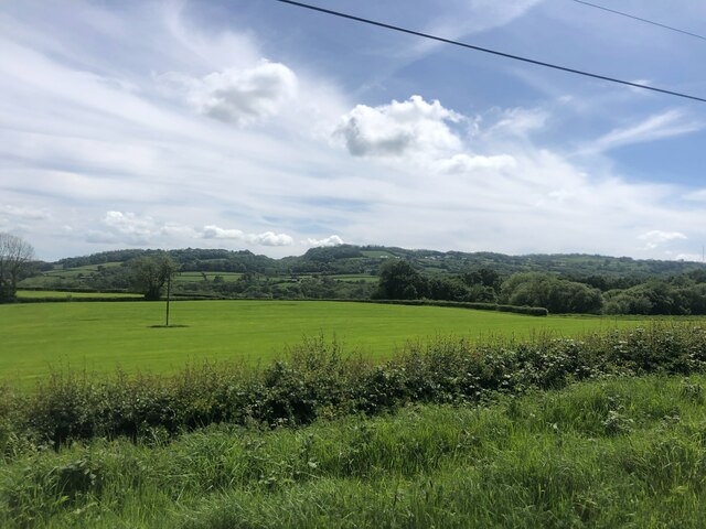
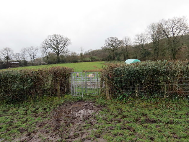
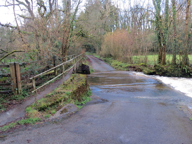
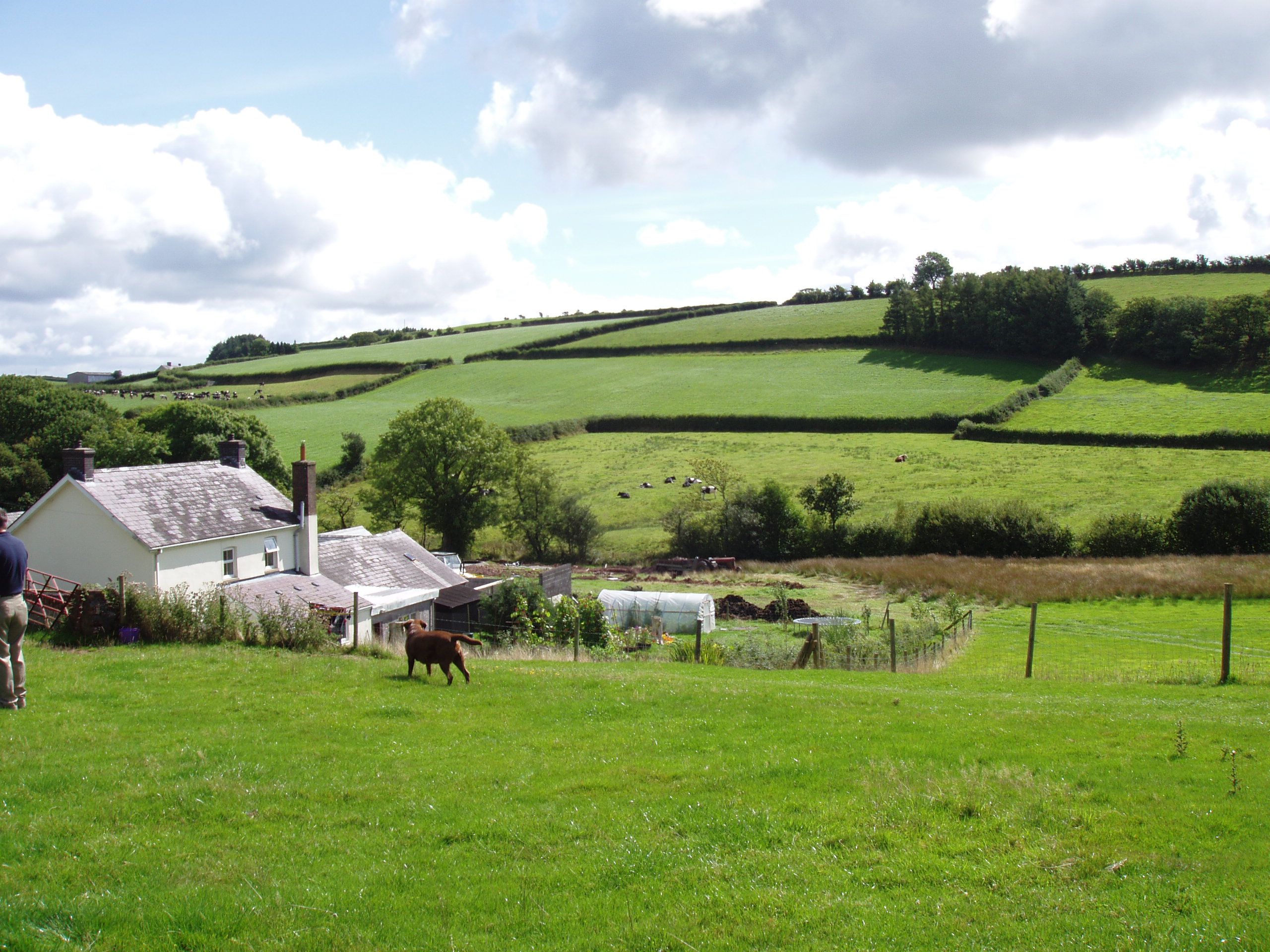
Coed Gelli-fawr is a picturesque woodland located in Carmarthenshire, a county in southwest Wales. The woodland covers an area of approximately 100 acres and is a popular destination for nature lovers and outdoor enthusiasts.

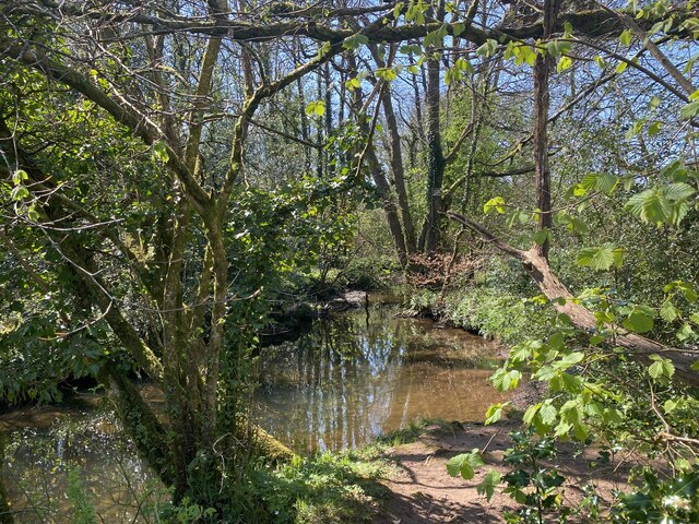
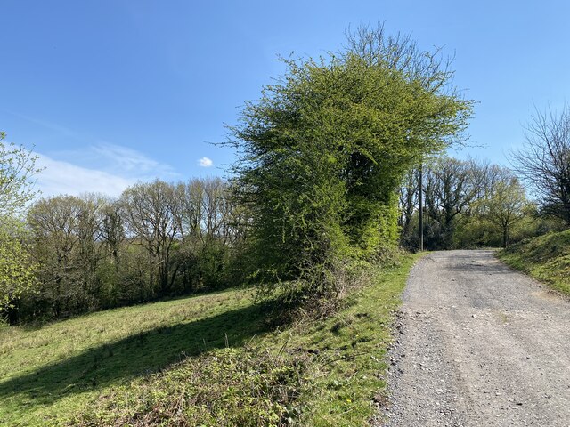
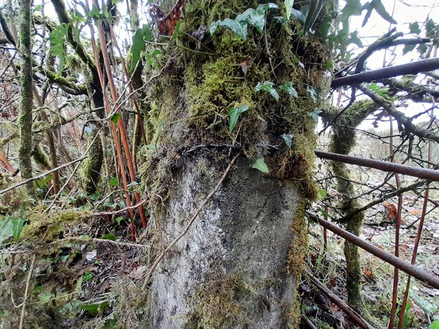
The forest is characterized by its diverse range of tree species, including oak, beech, ash, and birch. These trees create a dense canopy, providing shade and shelter for a variety of wildlife. Visitors to Coed Gelli-fawr can expect to encounter a wide array of bird species, such as woodpeckers, owls, and various songbirds.

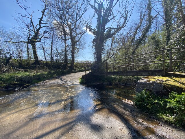
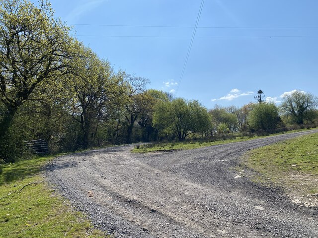
Traversing through the woodland, visitors can explore a network of well-maintained trails that wind through the forest. These trails offer opportunities for hiking, jogging, or simply enjoying a peaceful stroll amidst the breathtaking natural surroundings. The forest is also home to a number of charming picnic spots, allowing visitors to relax and enjoy a meal amidst the tranquility of nature.

Coed Gelli-fawr is not only a haven for wildlife and outdoor enthusiasts but also a valuable site for conservation efforts. The woodland is managed by local authorities, who strive to preserve its natural beauty and protect the native flora and fauna.

Overall, Coed Gelli-fawr offers visitors a chance to immerse themselves in the beauty of a Welsh woodland, with its diverse ecosystem, stunning scenery, and peaceful atmosphere. Whether one seeks adventure or a moment of serenity, this forest is a must-visit destination in Carmarthenshire.

If you have any feedback on the listing, please let us know in the comments section below.

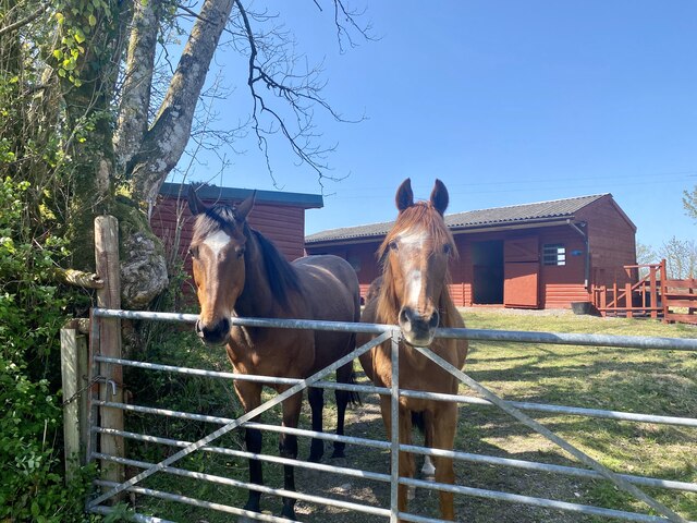
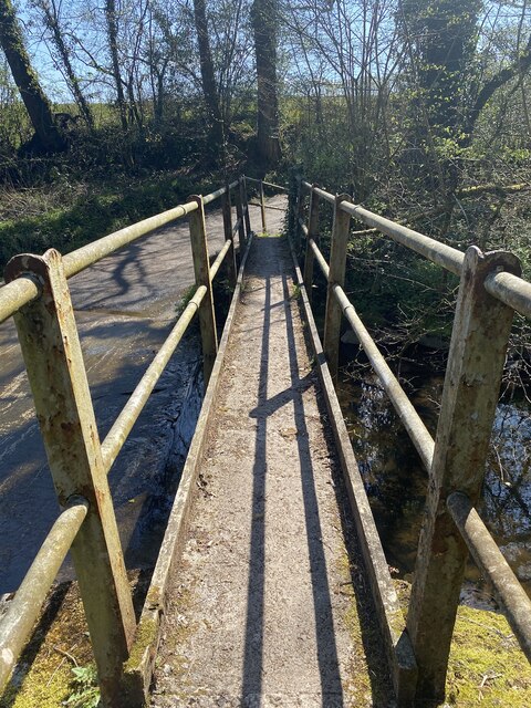
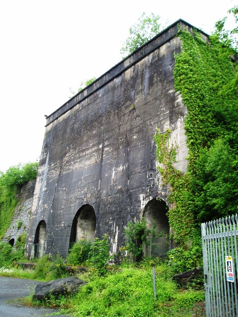
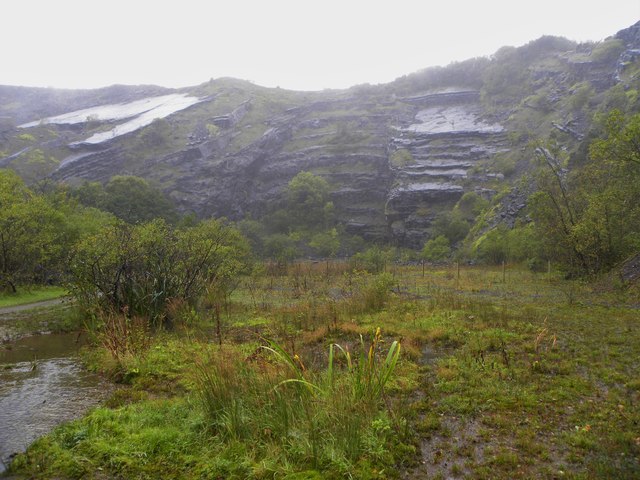
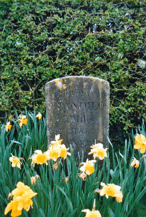
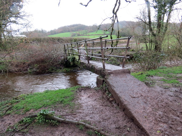
Coed Gelli-fawr Images

Images are sourced within 2km of 51.835127/-4.0343915 or Grid Reference SN5917. Thanks to Geograph Open Source API. All images are credited.

Two horses Pace Henry Dallal, this does seem to be a good day to submit a photograph of two horses.

<span class="nowrap"><a title="https://news.sky.com/story/queen-celebrates-96th-birthday-as-new-photograph-released-to-mark-occasion-12594524" rel="nofollow ugc noopener" href="https://news.sky.com/story/queen-celebrates-96th-birthday-as-new-photograph-released-to-mark-occasion-12594524">Link</a><img style="margin-left:2px;" alt="External link" title="External link - shift click to open in new window" src="https://s1.geograph.org.uk/img/external.png" width="10" height="10"/></span>
Two horses
Pace Henry Dallal, this does seem to be a good day to submit a photograph of two horses. LinkExternal link
Old footbridge Bridge over Afon Marlas.
Old footbridge
Bridge over Afon Marlas.
Ford at Afon Marlas
Ford at Afon Marlas
Woodland stream - Afon Marlas
Track junction near Hendre Agored
Track to Hendre Agored
Pantllyn Turlough, dried out The prolonged hot spell has completely drained or evaporated the lake, allowing me to stand on the cracked lake bed and take this shot.
Pantllyn Turlough, dried out
The prolonged hot spell has completely drained or evaporated the lake, allowing me to stand on the cracked lake bed and take this shot.
Sinkhole at the bottom of Pantllyn Turlough A small depression in the middle of the dried out lake bed looks a likely candidate for the hole this turlough fills and drains through. Unfortunately it doesn't show very well in this photo. It's centre-shot with a log fallen in to it.
Sinkhole at the bottom of Pantllyn Turlough
A small depression in the middle of the dried out lake bed looks a likely candidate for the hole this turlough fills and drains through. Unfortunately it doesn't show very well in this photo. It's centre-shot with a log fallen in to it.
Carmarthenshire countryside Fields for livestock - though none to be seen - and wooded hillsides
Carmarthenshire countryside
Fields for livestock - though none to be seen - and wooded hillsides
Ordnance Survey Cut Mark This OS cut mark can be found on the gatepost east side of the road. it marks a point 130.719m above mean sea level.
Ordnance Survey Cut Mark
This OS cut mark can be found on the gatepost east side of the road. it marks a point 130.719m above mean sea level.
Approaching the A476 junction
Rhyd-y-ffynnon Farm
Rhyd-y-ffynnon Farm
Lime Kilns, Cilyrychen Quarry
Gwenlais Quarry Seen through the gloom of drizzle and hill mist, this huge limestone quarry once fed nearby industrial scale lime kilns to produce lime for the iron and steel industries of South Wales. Now disused and part of the Carmel National Nature Reserve.
Gwenlais Quarry
Seen through the gloom of drizzle and hill mist, this huge limestone quarry once fed nearby industrial scale lime kilns to produce lime for the iron and steel industries of South Wales. Now disused and part of the Carmel National Nature Reserve.
Old Milestone by the A476, Rhydd-y-ffynnon, Llanarthney parish Stone post by the A476, in parish of Llanarthney (Carmarthenshire District), Rhydd-y-ffynnon. Re-located from the widened A476 to the entrance drive to Cennan Barn. Visible from the road.

Inscription reads:-
From
LLANDILO
3 MILES
To
LLANELLY
14½

Surveyed

Milestone Society National ID: CAM_LOLE03
Old Milestone by the A476, Rhydd-y-ffynnon, Llanarthney parish
Stone post by the A476, in parish of Llanarthney (Carmarthenshire District), Rhydd-y-ffynnon. Re-located from the widened A476 to the entrance drive to Cennan Barn. Visible from the road. Inscription reads:- From LLANDILO 3 MILES To LLANELLY 14½ Surveyed Milestone Society National ID: CAM_LOLE03
Pompren ger Cilyrychen / Footbridge near Cilyrychen Pompren yn rhychwantu Afon Marlais ger Ffarm Cilyrychen.

A footbridge spanning Afon Marlais near Cilyrychen Farm (trans. nook of the oxen).
Pompren ger Cilyrychen / Footbridge near Cilyrychen
Pompren yn rhychwantu Afon Marlais ger Ffarm Cilyrychen. A footbridge spanning Afon Marlais near Cilyrychen Farm (trans. nook of the oxen).
Llwybr Cilyrychen / Cilyrychen Path Llwybr cyhoeddus yn mynd i gyfeiriad Ffarm Cilyrychen.

A public footpath heading in the direction of Cilyrychen Farm (trans. nook of the oxen).
Llwybr Cilyrychen / Cilyrychen Path
Llwybr cyhoeddus yn mynd i gyfeiriad Ffarm Cilyrychen. A public footpath heading in the direction of Cilyrychen Farm (trans. nook of the oxen).
Rhyd Afon Marlais / Afon Marlais ford Heol yn rhydio Afon Marlais ger plasty Derwydd. 


A road fording Afon Marlais near Derwydd mansion (trans. oak trees)
Rhyd Afon Marlais / Afon Marlais ford
Heol yn rhydio Afon Marlais ger plasty Derwydd. A road fording Afon Marlais near Derwydd mansion (trans. oak trees)
Show me another place!

Coed Gelli-fawr is located at Grid Ref: SN5917 (Lat: 51.835127, Lng: -4.0343915)

Unitary Authority: Carmarthenshire

Police Authority: Dyfed Powys

What 3 Words

///reseller.crown.consoles. Near Llandybie, Carmarthenshire

Nearby Locations

Coed Gelli-fawr Milo

Related Wikis

Milo, Carmarthenshire

Milo is a small village of some 50 homes in the parish of Llanfihangel Aberbythych, some three miles north of Ammanford in Carmarthenshire, Wales. According...

Cernydd Carmel

Cernydd Carmel is a Site of Special Scientific Interest in Carmarthenshire, Wales. Carmel Woods National Nature Reserve is located on part of the SSSI...

Carmel, Carmarthenshire

Carmel is a village in Carmarthenshire, Wales near the village of Cross Hands. Carmel is on the A476 and is approximately half way between Crosshands and...

Llanfihangel Aberbythych

Llanfihangel Aberbythych is a community in Carmarthenshire, Wales. The population recorded at the 2011 census was 1,344. It is bordered by Llangathen,...

Nearby Amenities

Located within 500m of 51.835127,-4.0343915
Milo
Place: hamlet
Wikidata: Q6860272
Wikipedia: en:Milo, Carmarthenshire
Lat/Long: 51.8385/-4.037653
Post Box
Collection Times: Mo-Fr 16:00; Sa 10:30
Post Box Type: lamp
Ref: SA18 417
Royal Cypher: EIIR
Royal Cypher Wikidata: Q33102113
Lat/Long: 51.8382891/-4.0376948
Barrier: kissing_gate
Foot: yes
Lat/Long: 51.8309188/-4.0358978
Direction: SSW
Generator Method: photovoltaic
Generator Output Electricity: yes
Generator Solar Modules: 6
Generator Source: solar
Generator Type: solar_photovoltaic_panel
Location: roof
Power: generator
Lat/Long: 51.8373056/-4.0362907
Direction: SSE
Generator Method: photovoltaic
Generator Output Electricity: yes
Generator Solar Modules: 13
Generator Source: solar
Generator Type: solar_photovoltaic_panel
Location: roof
Power: generator
Lat/Long: 51.8334706/-4.0294152
Direction: 195
Generator Method: photovoltaic
Generator Output Electricity: yes
Generator Solar Modules: 8
Generator Source: solar
Generator Type: solar_photovoltaic_panel
Location: roof
Power: generator
Lat/Long: 51.8351394/-4.0282998
Direction: 195
Generator Method: photovoltaic
Generator Output Electricity: yes
Generator Solar Modules: 4
Generator Source: solar
Generator Type: solar_photovoltaic_panel
Location: roof
Power: generator
Lat/Long: 51.8349807/-4.0280523
Direction: 105
Generator Method: photovoltaic
Generator Output Electricity: yes
Generator Solar Modules: 16
Generator Source: solar
Generator Type: solar_photovoltaic_panel
Location: roof
Power: generator
Lat/Long: 51.8378873/-4.036392
Direction: ESE
Generator Method: photovoltaic
Generator Output Electricity: yes
Generator Solar Modules: 6
Generator Source: solar
Generator Type: solar_photovoltaic_panel
Location: roof
Power: generator
Lat/Long: 51.8373222/-4.0361975
Direction: 175
Generator Method: photovoltaic
Generator Output Electricity: yes
Generator Solar Modules: 16
Generator Source: solar
Generator Type: solar_photovoltaic_panel
Location: roof
Power: generator
Lat/Long: 51.8326806/-4.0335757
Direction: 165
Generator Method: photovoltaic
Generator Output Electricity: yes
Generator Solar Modules: 16
Generator Source: solar
Generator Type: solar_photovoltaic_panel
Location: roof
Power: generator
Lat/Long: 51.8320474/-4.0321568
Direction: SE
Generator Method: photovoltaic
Generator Output Electricity: yes
Generator Solar Modules: 17
Generator Source: solar
Generator Type: solar_photovoltaic_panel
Location: roof
Power: generator
Lat/Long: 51.8322654/-4.0389293
The data included in this document is from www.openstreetmap.org. The data is made available under ODbL.

Have you been to Coed Gelli-fawr?

Leave your review of Coed Gelli-fawr below (or comments, questions and feedback).