Coed Aberartro
Wood, Forest in Merionethshire
Wales
Coed Aberartro
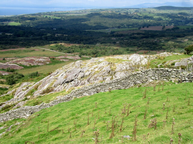
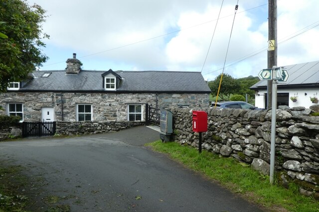
Coed Aberartro is a picturesque woodland located in the historic county of Merionethshire, Wales. Situated near the village of Llanbedr, this enchanting forest spans an area of approximately 200 acres, offering visitors a tranquil and immersive experience in nature.
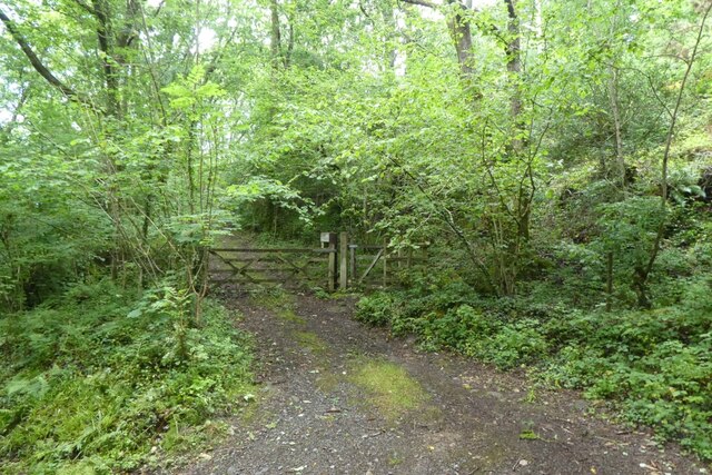
The wood is primarily composed of native broadleaf trees, including oak, ash, beech, and birch. These majestic trees create a dense canopy that provides shade and shelter for a diverse range of wildlife. Visitors can expect to encounter various bird species, such as woodpeckers and owls, as well as small mammals like squirrels and foxes.
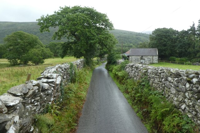
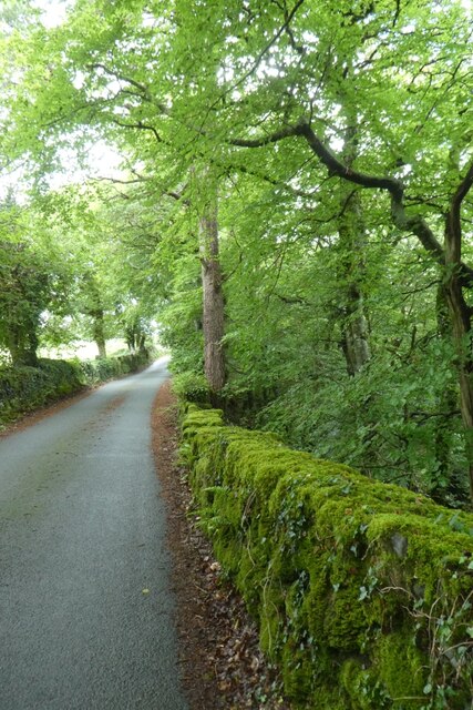
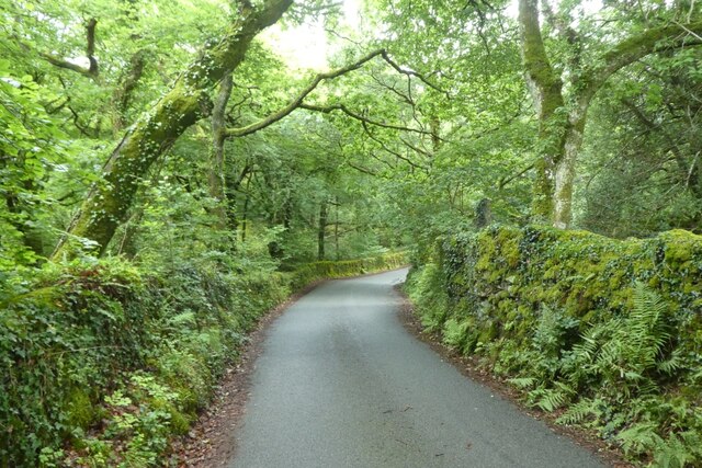
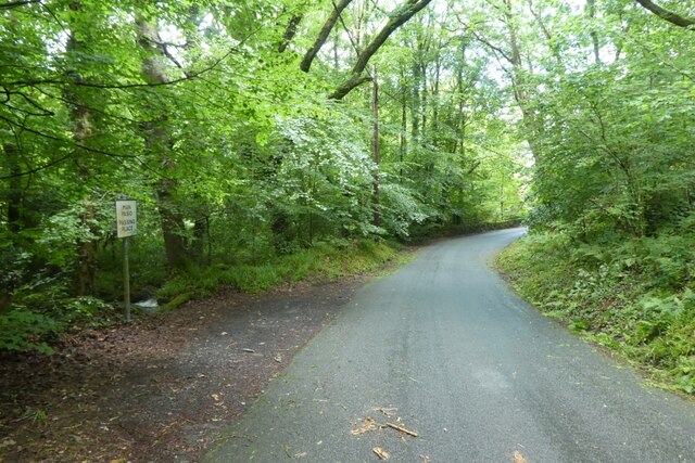
Coed Aberartro boasts a network of well-maintained footpaths and trails, allowing visitors to explore the woodland at their own pace. The paths meander through the forest, revealing stunning views of the surrounding countryside and the nearby River Artro. Along the way, visitors can marvel at the vibrant flora that thrives within the woodland, including bluebells, wild garlic, and ferns.
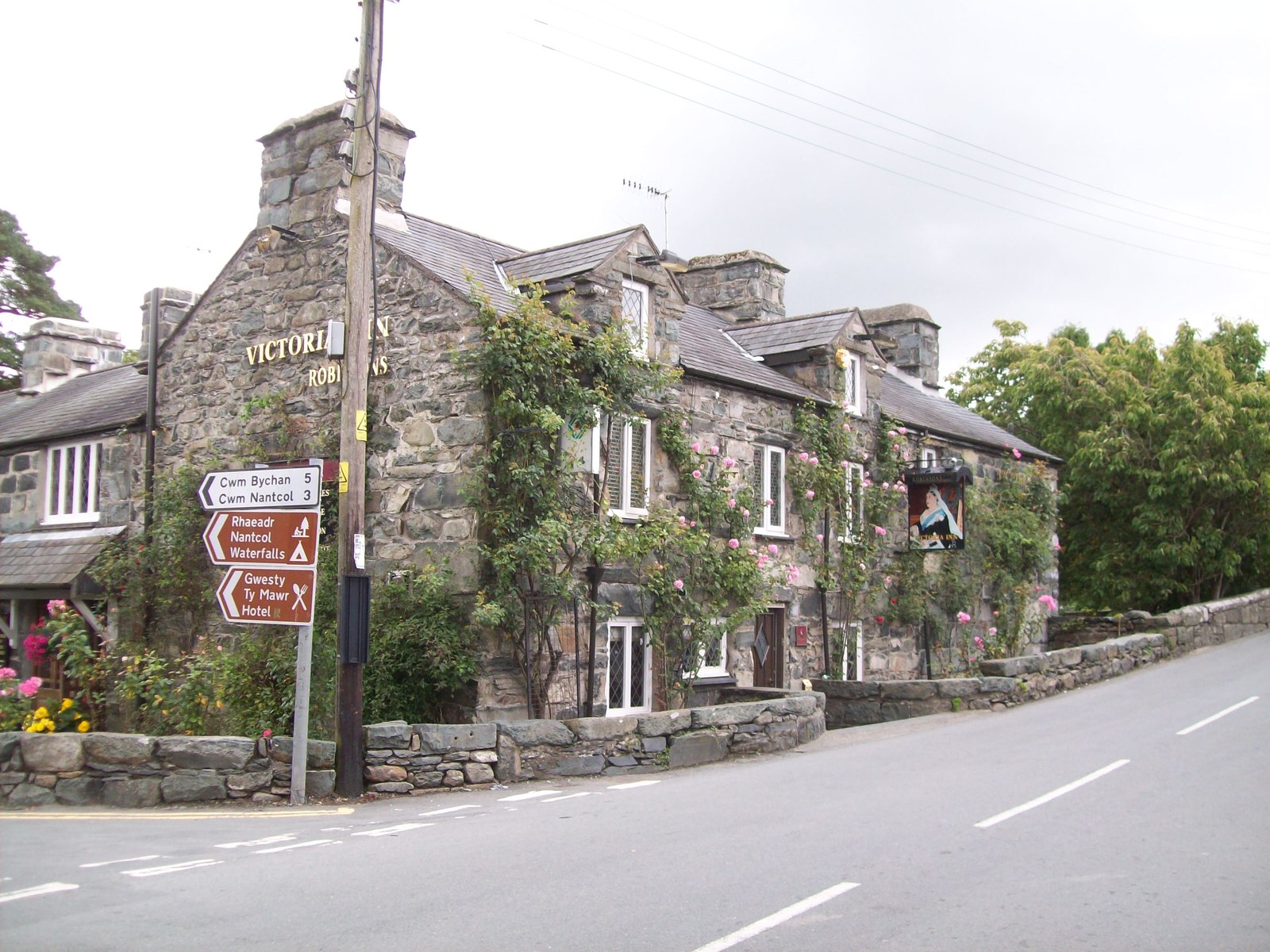
The wood is a popular destination for nature enthusiasts, hikers, and picnickers. Whether visitors are seeking a peaceful walk in the woods, a spot to enjoy a leisurely picnic, or a chance to connect with nature, Coed Aberartro offers a serene and idyllic setting. The woodland is open to the public year-round and is easily accessible from the nearby village, making it a beloved destination for both locals and tourists alike.
In summary, Coed Aberartro in Merionethshire is a stunning woodland retreat that captivates visitors with its natural beauty, diverse wildlife, and peaceful ambiance.
If you have any feedback on the listing, please let us know in the comments section below.
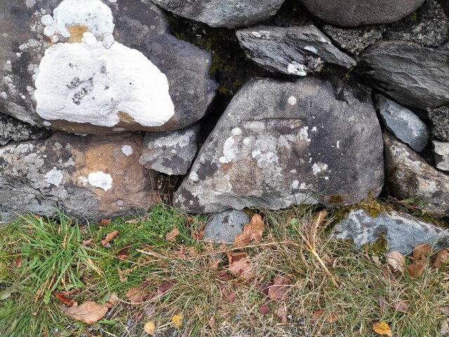
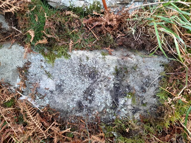
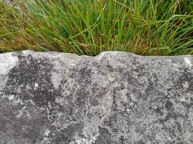
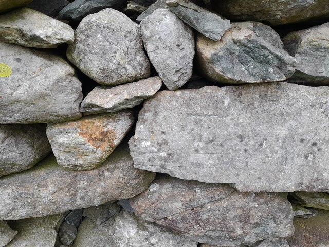
Coed Aberartro Images
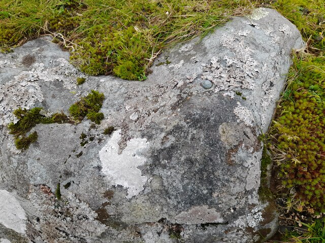
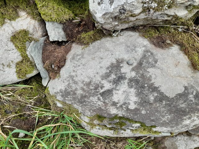
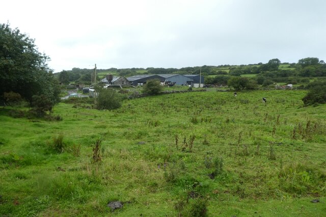
Images are sourced within 2km of 52.820286/-4.0805167 or Grid Reference SH5926. Thanks to Geograph Open Source API. All images are credited.
Coed Aberartro is located at Grid Ref: SH5926 (Lat: 52.820286, Lng: -4.0805167)
Unitary Authority: Gwynedd
Police Authority: North Wales
What 3 Words
///gambles.parent.cookie. Near Llanbedr, Gwynedd
Nearby Locations
Related Wikis
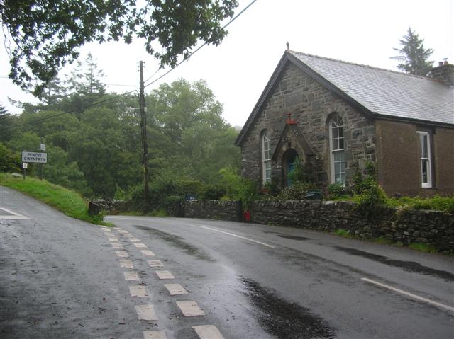
Pentre Gwynfryn
Pentre Gwynfryn is a village in the Ardudwy area of Gwynedd, Wales, about 1 mile (1.6 km) east of Llanbedr. The village is at the confluence of the River...
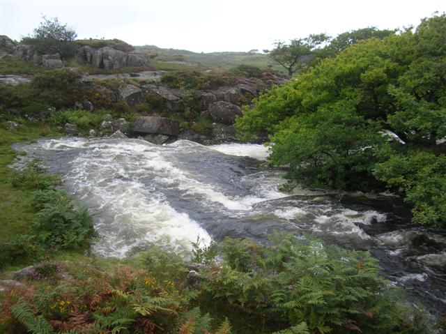
Afon Cwmnantcol
The River Cwmnantcol (Afon Cwmnantcol in Welsh) is a river in North Wales. It is about 3 miles (5 kilometres) long and has its source at the head of Cwm...

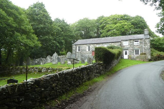
Capel Salem, Llanbedr
Capel Salem is a Grade II listed building in the hamlet of Pentre Gwynfryn, near Llanbedr, Gwynedd, Wales. This Baptist chapel building is located about...
Llanbedr
Llanbedr () is a village and community 2.8 miles (4.5 km) south of Harlech. Administratively, it lies in the Ardudwy area, formerly Meirionnydd, of the...
Nearby Amenities
Located within 500m of 52.820286,-4.0805167Have you been to Coed Aberartro?
Leave your review of Coed Aberartro below (or comments, questions and feedback).