Allt Cwm-cwta
Wood, Forest in Carmarthenshire
Wales
Allt Cwm-cwta
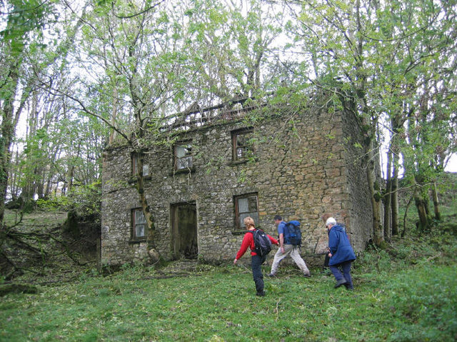
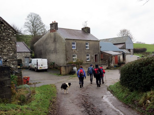
Allt Cwm-cwta is a stunning woodland located in Carmarthenshire, Wales. Spanning over an area of approximately 100 hectares, this forest is a paradise for nature enthusiasts and those seeking tranquility amidst lush green surroundings.
The woodland is dominated by a variety of tree species, including oak, birch, and rowan. These trees create a dense canopy, providing a habitat for numerous bird species such as woodpeckers, warblers, and buzzards. The forest floor is adorned with a rich carpet of bluebells, wild garlic, and ferns during the spring and summer months, adding to its picturesque beauty.
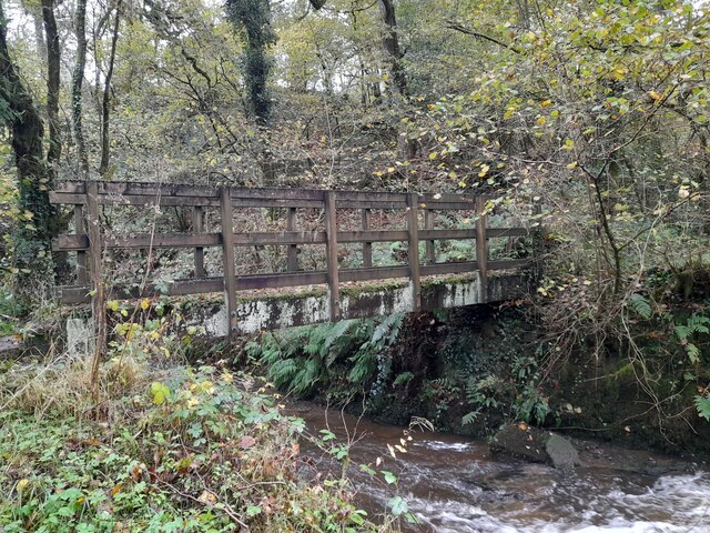
Tranquil streams and small waterfalls can be found within Allt Cwm-cwta, adding to the serene ambiance of the forest. These water features provide a habitat for various aquatic creatures, including trout and freshwater insects. The sound of flowing water and the rustling of leaves create a soothing atmosphere, making it a perfect spot for relaxation or a peaceful walk.
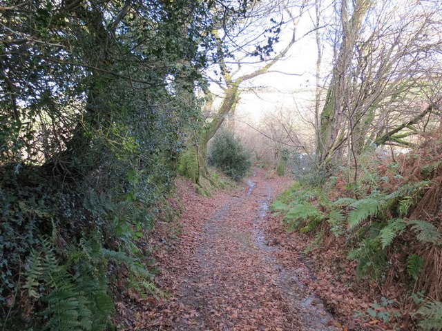
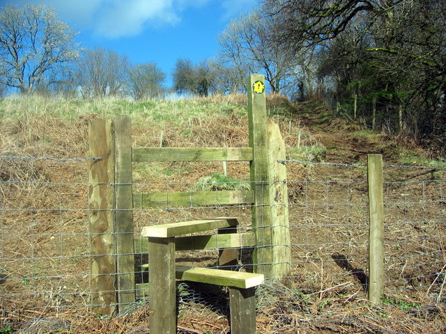
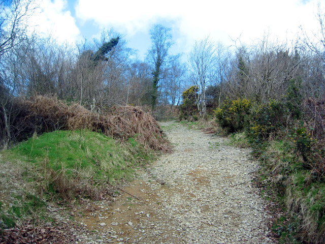
The woodland is crisscrossed by a network of well-maintained footpaths, offering visitors the opportunity to explore its natural wonders. There are also picnic areas and benches scattered throughout, allowing visitors to take a break and enjoy the scenery.
Allt Cwm-cwta is not only a haven for nature lovers but also serves as an important ecological resource. It contributes to carbon sequestration, improves air quality, and supports biodiversity conservation efforts in the region.
In conclusion, Allt Cwm-cwta is a captivating woodland that offers a diverse range of flora and fauna, stunning landscapes, and a peaceful atmosphere. It is an ideal destination for anyone seeking a retreat in nature or wishing to explore the beauty of Carmarthenshire.
If you have any feedback on the listing, please let us know in the comments section below.
Allt Cwm-cwta Images
Images are sourced within 2km of 51.980362/-4.0415645 or Grid Reference SN5933. Thanks to Geograph Open Source API. All images are credited.


Allt Cwm-cwta is located at Grid Ref: SN5933 (Lat: 51.980362, Lng: -4.0415645)
Unitary Authority: Carmarthenshire
Police Authority: Dyfed Powys
What 3 Words
///lunching.hungry.advances. Near Llansawel, Carmarthenshire
Nearby Locations
Related Wikis

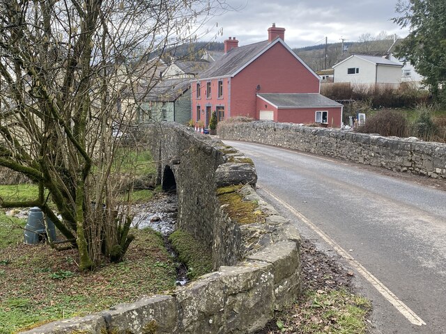
Abergorlech
Abergorlech is a village 8 miles (13 km) to the north-west of Llandeilo in Carmarthenshire, Wales. It lies on the River Cothi on the B4310 road, between...

Talley Lakes
Upper Talley Lake (Welsh: Llyn Talyllychau Uchaf) and Lower Talley Lake (Welsh: Llyn Talyllychau Isaf) are two small lakes immediately north of the village...

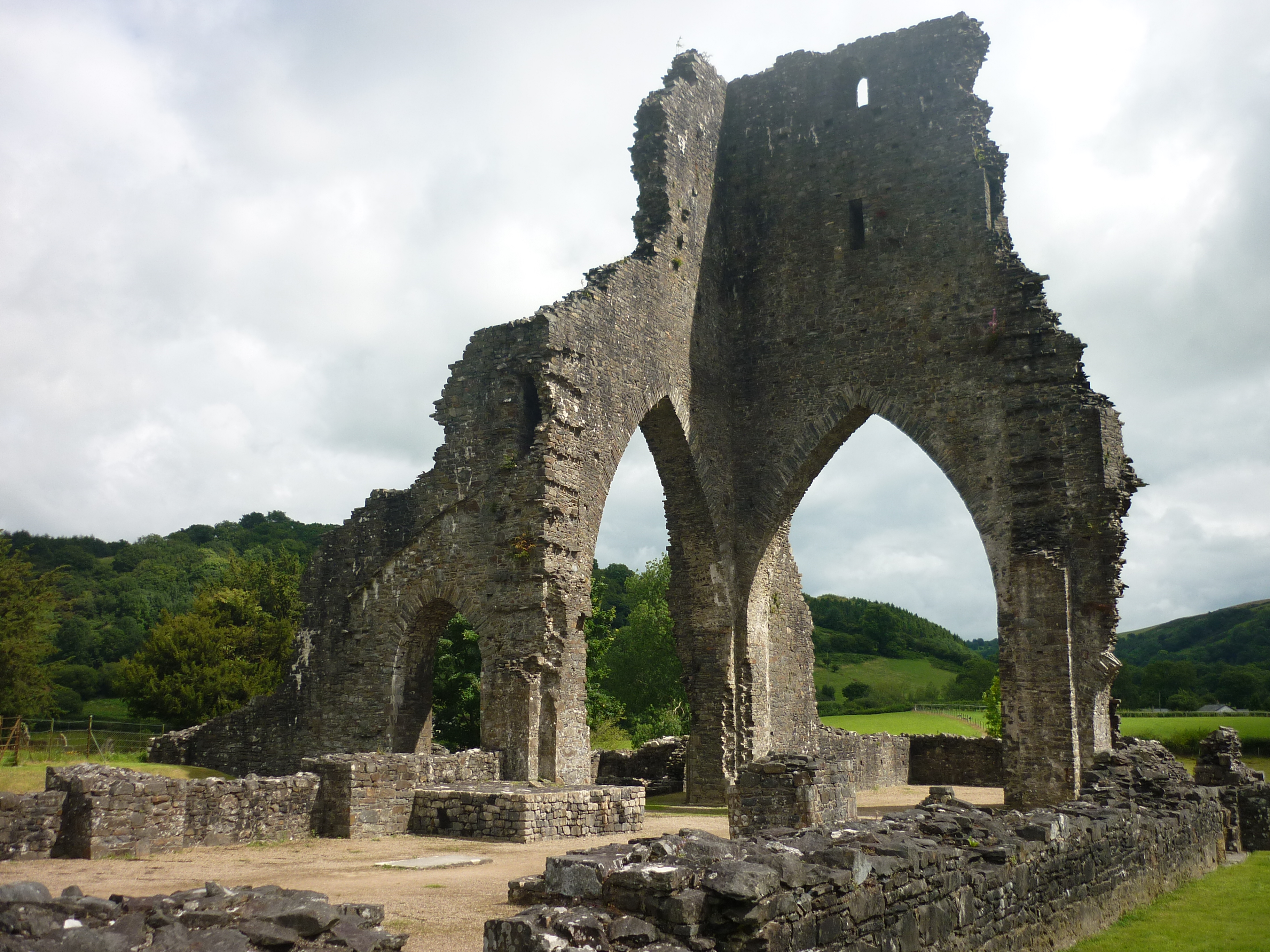
Talley Abbey
Talley Abbey (Welsh: Abaty Talyllychau) is a ruined former monastery of the Premonstratensians ("White Canons") in the village of Talley in Carmarthenshire...
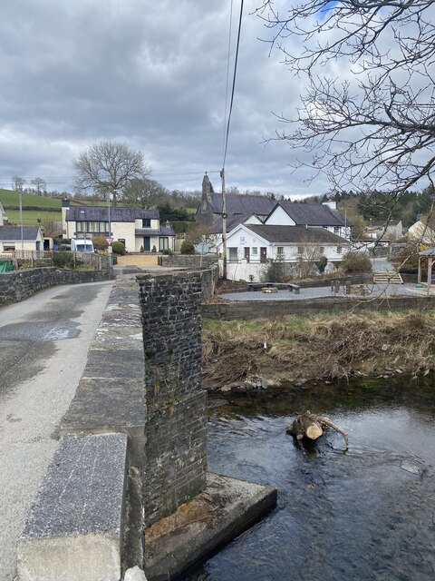
Talley
Talley (Welsh: Talyllychau, historically Tal y Llychau) is a village and community in Carmarthenshire, Wales.The population taken at the 2011 census was...

Edwinsford
Edwinsford is a small hamlet situated about the historic Edwinsford Estate and fishery on the river Cothi, a tributary of the River Tywi, in Carmarthenshire...
Llansawel
Llansawel is a village and community in Carmarthenshire, Wales, about ten miles north of Llandeilo. It covers an area of 4,079 hectares (15.75 sq mi)....
Llansawel transmitting station
The Llansawel television relay station is sited on high ground to the north of the village of Llansawel in Carmarthenshire, South Wales. It was originally...
Talley transmitting station
The Talley television relay station is sited on high ground to the north of the village of Talley in Carmarthenshire. It was originally built in 1986 as...
Related Videos
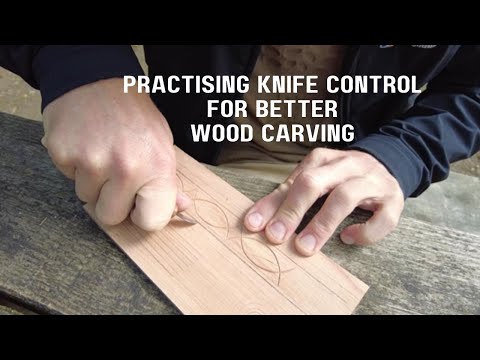
Practising Knife Control for Better Wood Carving - Wood Carving Tips
Wood Carving Tip video - In this video, Paul talks about the importance of doing simple exercises to practise his knife control.
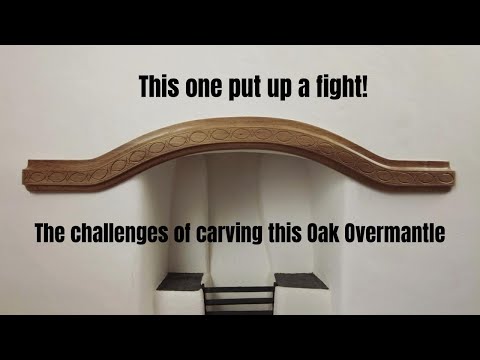
This one put up a fight! The challenges of wood carving this Oak wood Overmantle
In this video, Paul wrestles with a reclaimed Oak wood wardrobe plinth that was gifted to us from someone in the village.
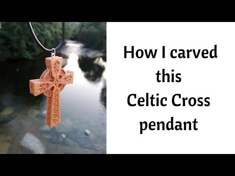
How I carve a Celtic Cross pendant / wild Wood Carving by the river and in the forest
A wood carving video - making a Celtic Cross pendant necklace. The Celtic Cross is a unique design and uses chip carving ...
Wood Carving Hack - How I turned a screw into a cutter to mount flat-backed carvings
Wood carving hack - how I turned a screw into a cutter to mount flat-backed carvings In this video I show you how I mount ...
Have you been to Allt Cwm-cwta?
Leave your review of Allt Cwm-cwta below (or comments, questions and feedback).