Penglais

Hill, Mountain in Cardiganshire

Wales

Penglais

Ordnance Survey Cut Mark This OS cut mark can be found on Ysgoldy NW side of the road. It marks a point 15.292m above mean sea level.
Ordnance Survey Cut Mark Credit: Adrian Dust

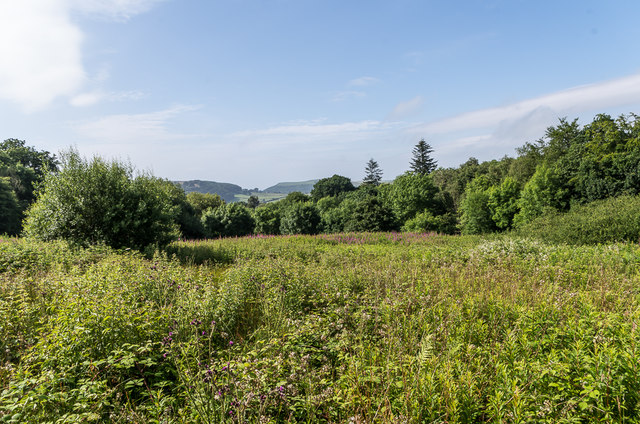
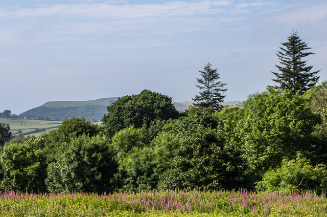
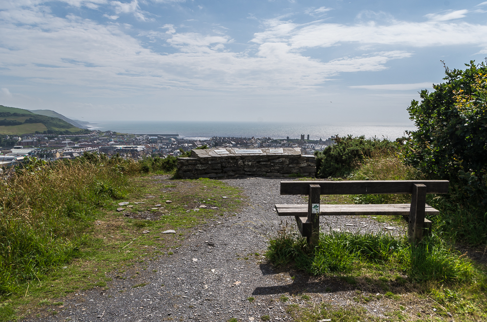
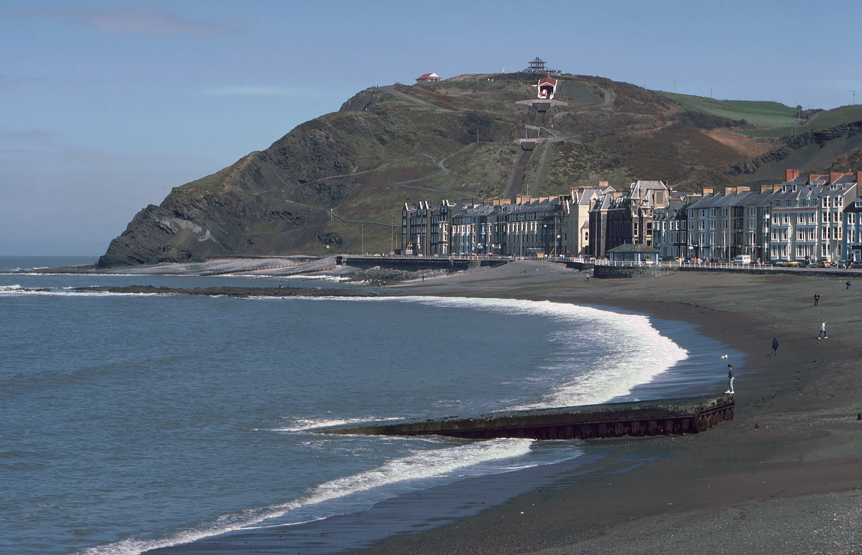
Penglais is a prominent hill located in Cardiganshire, a county in Wales, United Kingdom. Rising to an elevation of approximately 219 meters (719 feet), it is considered a notable landmark in the area. Situated near the town of Aberystwyth, Penglais offers stunning panoramic views of the surrounding countryside and the nearby coastline.

The hill is characterized by its lush green vegetation, which includes a variety of trees, shrubs, and grasses. This natural landscape provides a habitat for several species of birds, insects, and small mammals. Penglais is a popular destination for nature enthusiasts and hikers who enjoy exploring its tranquil trails and observing the local wildlife.

At the summit of Penglais, there is a prominent monument known as the National Library of Wales. This iconic building, constructed in the early 20th century, houses a vast collection of books, manuscripts, and other literary artifacts that hold significant cultural and historical value. The library is a symbol of Welsh heritage and serves as a hub for academic research and learning.

Penglais also boasts educational institutions such as Aberystwyth University, which is renowned for its quality education in various disciplines. The university campus is nestled at the foot of the hill, adding to the scenic beauty of the surroundings.

Overall, Penglais in Cardiganshire is a magnificent hill with rich biodiversity and cultural significance. Its natural beauty, coupled with the presence of esteemed institutions, makes it a cherished destination for both locals and visitors alike.

If you have any feedback on the listing, please let us know in the comments section below.
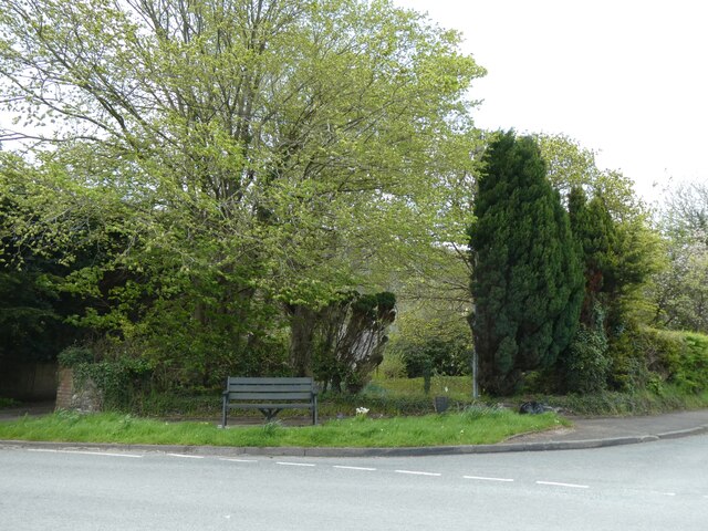
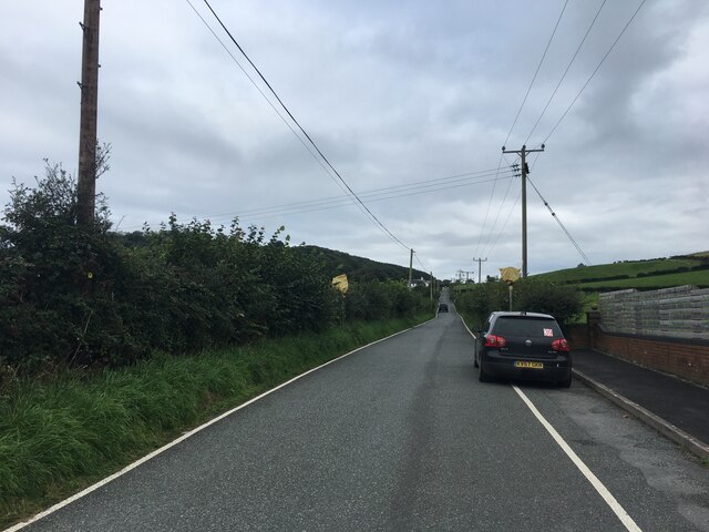
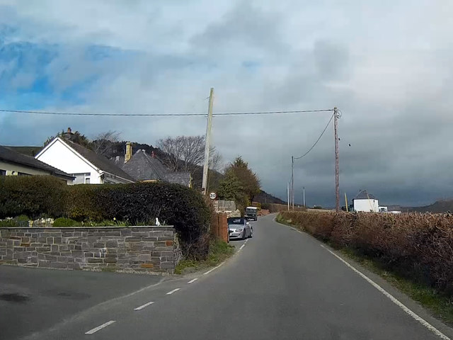
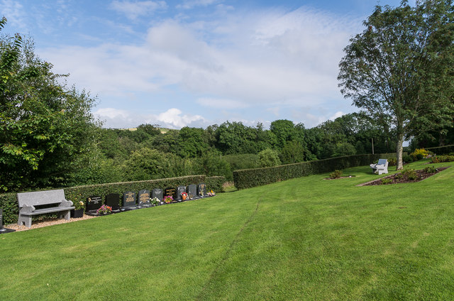
Penglais Images

Images are sourced within 2km of 52.428517/-4.0666895 or Grid Reference SN5983. Thanks to Geograph Open Source API. All images are credited.

Ordnance Survey Cut Mark This OS cut mark can be found on Ysgoldy NW side of the road. It marks a point 15.292m above mean sea level.
Ordnance Survey Cut Mark
This OS cut mark can be found on Ysgoldy NW side of the road. It marks a point 15.292m above mean sea level.
Ordnance Survey Cut Mark This OS cut mark can be found on the gatepost at the entrance to Bryn Carnedd east side of the road. It marks a point 110.015m above mean sea level.
Ordnance Survey Cut Mark
This OS cut mark can be found on the gatepost at the entrance to Bryn Carnedd east side of the road. It marks a point 110.015m above mean sea level.
A487 leaving Aberystwyth
Road into Llangorwen from east
Seat at Llangorwen crossroads
B4572 near Clarach
B4572 near Clarach
B4572 at Clarach
B4572 at Clarach
Fferm Penglais Student Residence Large development of student accommodation for Aberystwyth University, opened in January 2015, situated adjacent to the earlier student village of Pentre Jane Morgan.
Fferm Penglais Student Residence
Large development of student accommodation for Aberystwyth University, opened in January 2015, situated adjacent to the earlier student village of Pentre Jane Morgan.
Penglais School Secondary school established in 1973.
Penglais School
Secondary school established in 1973.
The road between Clarach and Bow Street
Aberystwyth Crematorium Crematorium site above Clarach, opened in 1994.
Aberystwyth Crematorium
Crematorium site above Clarach, opened in 1994.
Towards Cwmcynfelin Woods Looking towards Cwmcynfelin Woods from below Aberystwyth Crematorium.
Towards Cwmcynfelin Woods
Looking towards Cwmcynfelin Woods from below Aberystwyth Crematorium.
Towards Cwmcynfelin Woods Looking towards Cwmcynfelin Woods from below Aberystwyth Crematorium.
Towards Cwmcynfelin Woods
Looking towards Cwmcynfelin Woods from below Aberystwyth Crematorium.
All Saints Church, Llangorwen, Ceredigion Dating from 1841 it is grade II* listed as one of the first Gothic Revival churches in Britain designed according to the principles of the Oxford movement.
Situated on the B4572.
All Saints Church, Llangorwen, Ceredigion
Dating from 1841 it is grade II* listed as one of the first Gothic Revival churches in Britain designed according to the principles of the Oxford movement. Situated on the B4572.
Chip shop in the village Friendly local chippy.
Chip shop in the village
Friendly local chippy.
Nisa foodstore The Post Office is located within the Nisa foodstore in Waun Fawr.
Nisa foodstore
The Post Office is located within the Nisa foodstore in Waun Fawr.
Leaving town The A487 leaving Aberystwyth.
Leaving town
The A487 leaving Aberystwyth.
Track alongside Penglais Farm The Penglais Farm student accommodation area for Aberystwyth University is to the right.
For a view four years earlier see <a title="https://www.geograph.org.uk/photo/3617353" href="https://www.geograph.org.uk/photo/3617353">Link</a> .
Track alongside Penglais Farm
The Penglais Farm student accommodation area for Aberystwyth University is to the right. For a view four years earlier see Link .
Show me another place!

Penglais is located at Grid Ref: SN5983 (Lat: 52.428517, Lng: -4.0666895)

Unitary Authority: Ceredigion

Police Authority: Dyfed Powys

What 3 Words

///helpers.electrode.routs. Near Aberystwyth, Ceredigion

Nearby Locations

Allt-glais Penglais

Related Wikis

Penglais Nature Park

Penglais Nature Park (Welsh: Parc Natur Penglais) is a woodland situated in Aberystwyth, Ceredigion in Wales. The park is a combination of woodland and...

Aberystwyth University

Aberystwyth University (Welsh: Prifysgol Aberystwyth) is a public research university in Aberystwyth, Wales. Aberystwyth was a founding member institution...

Constitution Hill, Aberystwyth

Constitution Hill (Welsh: Craig-glais Welsh pronunciation: [krai̯ɡ glai̯s]) is a hill in the Welsh town of Aberystwyth, situated to the north of the town...

Afon Clarach

The Afon Clarach (Welsh pronunciation: [ˈklaraχ]) (English: River Clarach) is a small river discharging into Cardigan Bay north of Aberystwyth. It flows...

Related Videos

🇬🇧🏴󠁧󠁢󠁷󠁬󠁳󠁿Hiking in WALES: Scenic Ceredigion Coast Path to Clarach Bay / 2019 Sep

Map of Ceredigion Coast Path, Wales - UK https://maps.app.goo.gl/gdoheDzVqGhpH9j69.

Aberystwyth Beach Walk, Welsh Countryside 4K

https://www.buymeacoffee.com/Daveswalks All support is hugely appreciated and it helps me keep the channel going! No talking ...

🇬🇧🏴󠁧󠁢󠁷󠁬󠁳󠁿Walking in WALES Aberystwyth city from Train Station to North Beach / 2019 Sept

0:00 from train station through city 9:13 North Beach Map of Aberystwyth, Wales https://goo.gl/maps/Rxwr3JCHbeDZ36WG6.

Filipina-UK Life| Travel Vlog| Wales Adventure

Wales is a country in southwest Great Britain known for its rugged coastline, mountainous national parks, distinctive Welsh ...

Nearby Amenities

Located within 500m of 52.428517,-4.0666895
Barrier: swing_gate
Foot: yes
Height: 1
Locked: no
Material: metal
Lat/Long: 52.4256721/-4.0661359
Penglais
Natural: peak
Wikidata: Q13130678
Wikipedia: cy:Penglais
Lat/Long: 52.429969/-4.0715182
Direction: 200
Tourism: viewpoint
Lat/Long: 52.4246348/-4.0675404
Barrier: swing_gate
Foot: yes
Lat/Long: 52.4279239/-4.0629696
Barrier: stile
Lat/Long: 52.4288016/-4.0617918
Camera Mount: pole
Camera Type: dome
Description: One PTZ, Two Fixed
Man Made: surveillance
Surveillance: outdoor
Surveillance Type: camera
Lat/Long: 52.4250717/-4.0666551
Camera Mount: pole
Camera Type: dome
Description: One PTZ, Multiple Fixed
Man Made: surveillance
Surveillance: outdoor
Surveillance Type: camera
Lat/Long: 52.4251905/-4.0624035
Camera Mount: pole
Camera Type: dome
Description: One PTZ, Multiple Fixed
Man Made: surveillance
Surveillance: outdoor
Surveillance Type: camera
Lat/Long: 52.4256986/-4.0645181
The data included in this document is from www.openstreetmap.org. The data is made available under ODbL.

Have you been to Penglais?

Leave your review of Penglais below (or comments, questions and feedback).