Coed Hafod-y-llyn

Wood, Forest in Merionethshire

Wales

Coed Hafod-y-llyn

Afon Glaslyn
Afon Glaslyn Credit: Chris Andrews

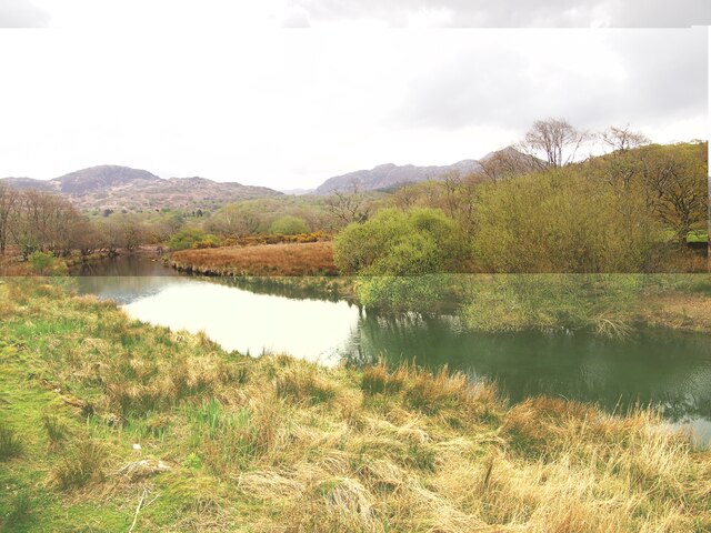
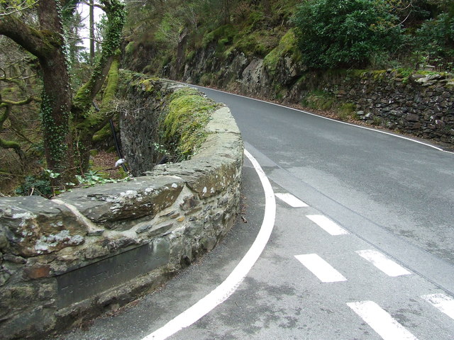
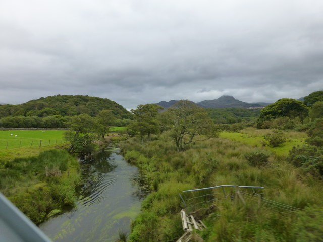
Coed Hafod-y-llyn is a picturesque woodland located in Merionethshire, Wales. Spanning an area of approximately 200 acres, this enchanting forest is nestled in the heart of the Snowdonia National Park. The woodland is known for its rich biodiversity and stunning natural beauty, making it a popular destination for nature lovers and outdoor enthusiasts.

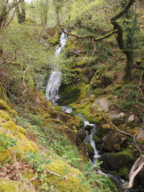
The forest is primarily composed of native tree species such as oak, birch, and beech, creating a diverse and vibrant ecosystem. Walking through the woodland, visitors can enjoy the tranquil atmosphere and immerse themselves in the peaceful surroundings. The forest floor is adorned with a tapestry of colorful wildflowers and mosses, creating a truly magical ambiance.

Coed Hafod-y-llyn is also home to a variety of wildlife, including deer, foxes, and numerous bird species. Birdwatchers can spot rare species such as red kites and buzzards soaring above the treetops. The forest is also a haven for smaller creatures like squirrels, badgers, and rabbits.

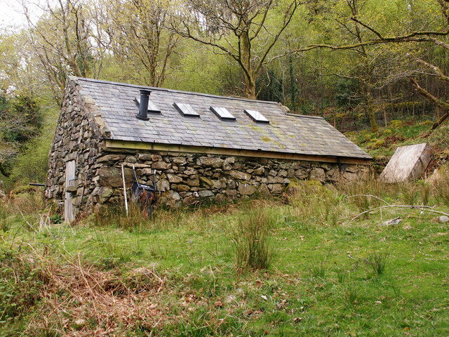
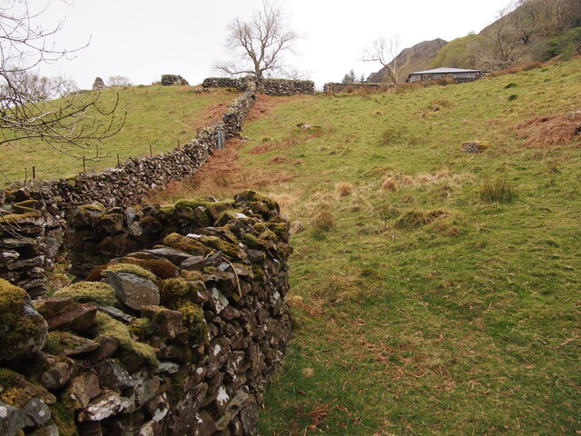
For those seeking outdoor activities, the woodland offers a network of well-maintained walking trails and paths. Visitors can explore the forest at their own pace, enjoying the breathtaking views and discovering hidden gems along the way. The forest also features a picnic area, providing the perfect spot to relax and enjoy a meal amidst nature.

Coed Hafod-y-llyn is a true gem of Merionethshire, offering a peaceful retreat and a chance to reconnect with nature. Whether one seeks solitude, wildlife spotting, or simply a leisurely stroll, this woodland provides an unforgettable experience in the heart of the Welsh countryside.

If you have any feedback on the listing, please let us know in the comments section below.

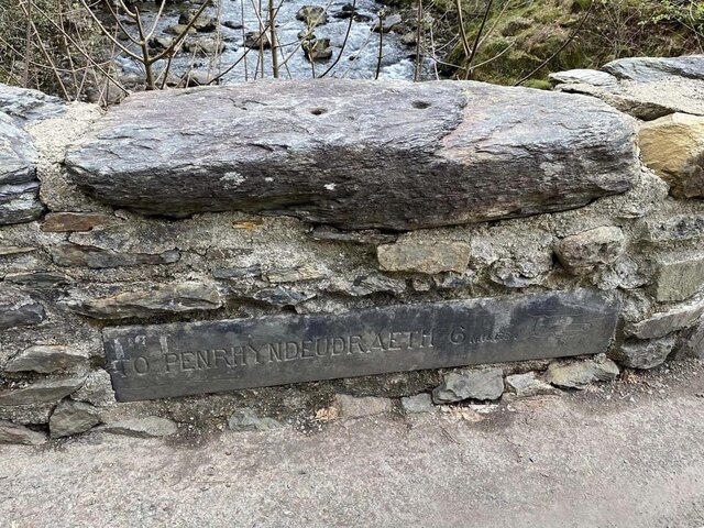
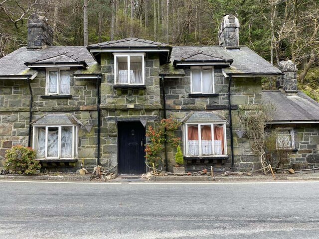
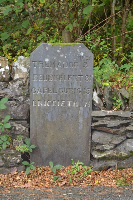
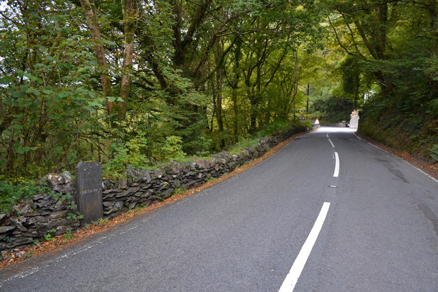
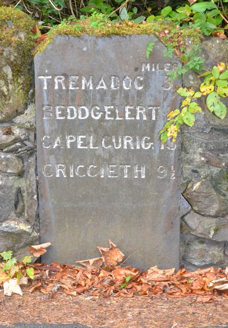
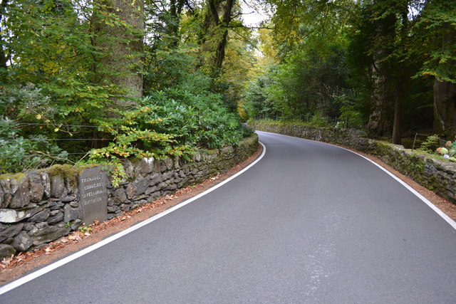
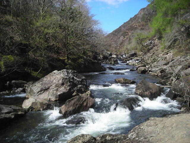
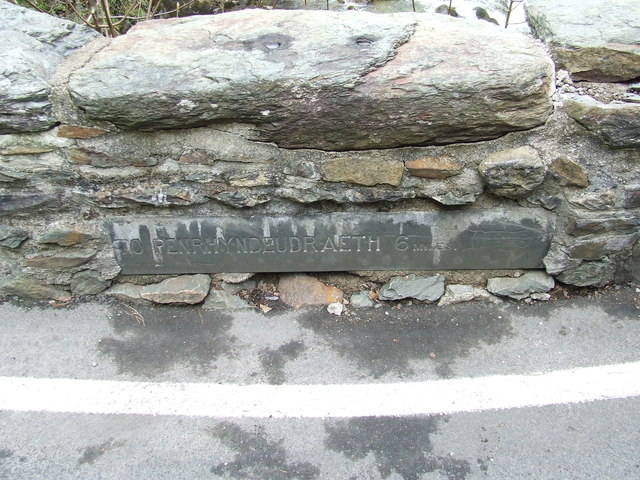
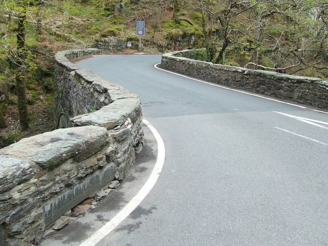
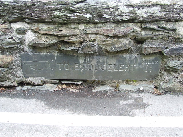
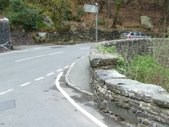
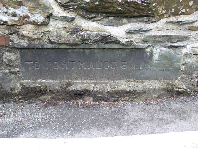
Coed Hafod-y-llyn Images

Images are sourced within 2km of 52.978694/-4.0909072 or Grid Reference SH5944. Thanks to Geograph Open Source API. All images are credited.

Afon Glaslyn
Afon Glaslyn
Waterfall Below Plas Oerddwr
Converted Outbuilding in Coed Oerddwr
The Path to Llys From Coed Oerddwr
Old Milestone, A4085, Pont Aberglaslyn Carved in slate at the junction with the A498 on the parapet of the bridge crossing Afon Glaslyn. Penrhyn Deudraeth translates as "two beach peninsula". More milestones on the bridge or near see <a title="https://www.geograph.org.uk/stuff/list.php?title=Old+Milestone&gridref=SH5946" href="https://www.geograph.org.uk/stuff/list.php?title=Old+Milestone&gridref=SH5946">Link</a>

Inscription: Penrhyndeudraeth 6 Miles ☛

Milestone Society National ID: CAE_PYBD06a
Old Milestone, A4085, Pont Aberglaslyn
Carved in slate at the junction with the A498 on the parapet of the bridge crossing Afon Glaslyn. Penrhyn Deudraeth translates as "two beach peninsula". More milestones on the bridge or near see Link Inscription: Penrhyndeudraeth 6 Miles ☛ Milestone Society National ID: CAE_PYBD06a
Bridge House, A498, Pont Aberglaslyn Former Toll House opposite the bridge taking the A4085 to Penrhyndeudraeth (peninsula with two beaches). It would have originally served the Porthdinllaen & Nanthwynant Turnpike Trust.

Milestone Society National ID: GWY.BED02
Bridge House, A498, Pont Aberglaslyn
Former Toll House opposite the bridge taking the A4085 to Penrhyndeudraeth (peninsula with two beaches). It would have originally served the Porthdinllaen & Nanthwynant Turnpike Trust. Milestone Society National ID: GWY.BED02
Old Milestone Old milestone on the A498 near to Prenteg, Gwynedd. For overall view see <a title="https://www.geograph.org.uk/photo/4775940" href="https://www.geograph.org.uk/photo/4775940">Link</a>
Old Milestone
Old milestone on the A498 near to Prenteg, Gwynedd. For overall view see Link
Tremadog 3 Old milestone on the A498 near to Prenteg, Gwynedd. For close up view see <a title="https://www.geograph.org.uk/photo/4775937" href="https://www.geograph.org.uk/photo/4775937">Link</a>
Tremadog 3
Old milestone on the A498 near to Prenteg, Gwynedd. For close up view see Link
Old Milestone Old milestone on the A498 near to Pont Aberglaslyn, Gwynedd. For overall view see <a title="https://www.geograph.org.uk/photo/4775971" href="https://www.geograph.org.uk/photo/4775971">Link</a>
Old Milestone
Old milestone on the A498 near to Pont Aberglaslyn, Gwynedd. For overall view see Link
Tremadog 5 Old milestone on the A.498 near to Pont Aberglaslyn, Gwynedd. For close up view see <a title="https://www.geograph.org.uk/photo/4775961" href="https://www.geograph.org.uk/photo/4775961">Link</a>
Tremadog 5
Old milestone on the A.498 near to Pont Aberglaslyn, Gwynedd. For close up view see Link
The Fisherman's Path The sometimes precarious path follows the east bank of Afon Glaslyn.
The Fisherman's Path
The sometimes precarious path follows the east bank of Afon Glaslyn.
Penrhyndeudraeth 6 Old milestone in the bridge wall at Pont Aberglaslyn, Gwynedd; for overall view see <a title="https://www.geograph.org.uk/photo/5073459" href="https://www.geograph.org.uk/photo/5073459">Link</a>
Penrhyndeudraeth 6
Old milestone in the bridge wall at Pont Aberglaslyn, Gwynedd; for overall view see Link
Old Milestone Old milestone lower left in bridge wall at Pont Aberglaslyn, Gwynedd; for close up view see <a title="https://www.geograph.org.uk/photo/5073452" href="https://www.geograph.org.uk/photo/5073452">Link</a>
Old Milestone
Old milestone lower left in bridge wall at Pont Aberglaslyn, Gwynedd; for close up view see Link
Old Milestone Old milestone in bridge wall at Pont Aberglaslyn, Gwynedd; for overall view see <a title="https://www.geograph.org.uk/photo/5073472" href="https://www.geograph.org.uk/photo/5073472">Link</a>
Old Milestone
Old milestone in bridge wall at Pont Aberglaslyn, Gwynedd; for overall view see Link
Old Milestone Old milestone in bridge wall lower right at Pont Aberglaslyn, Gwynedd; for close up view see <a title="https://www.geograph.org.uk/photo/5073470" href="https://www.geograph.org.uk/photo/5073470">Link</a>
Old Milestone
Old milestone in bridge wall lower right at Pont Aberglaslyn, Gwynedd; for close up view see Link
Old Milestone Old milestone in bridge wall at Pont Aberglaslyn, Gwynedd; for overall view see <a title="https://www.geograph.org.uk/photo/5073478" href="https://www.geograph.org.uk/photo/5073478">Link</a>
Old Milestone
Old milestone in bridge wall at Pont Aberglaslyn, Gwynedd; for overall view see Link
Old Milestone Old milestone lower left in bridge wall at Pont Aberglaslyn, Gwynedd; for close up view see <a title="https://www.geograph.org.uk/photo/5073476" href="https://www.geograph.org.uk/photo/5073476">Link</a>
Old Milestone
Old milestone lower left in bridge wall at Pont Aberglaslyn, Gwynedd; for close up view see Link
The Welsh Highland Railway crosses the Nanmor river Cnicht can be seen in distance with its peak in the clouds
The Welsh Highland Railway crosses the Nanmor river
Cnicht can be seen in distance with its peak in the clouds
Show me another place!

Coed Hafod-y-llyn is located at Grid Ref: SH5944 (Lat: 52.978694, Lng: -4.0909072)

Unitary Authority: Gwynedd

Police Authority: North Wales

What 3 Words

///duties.irritable.scatters. Near Penrhyndeudraeth, Gwynedd

Related Wikis

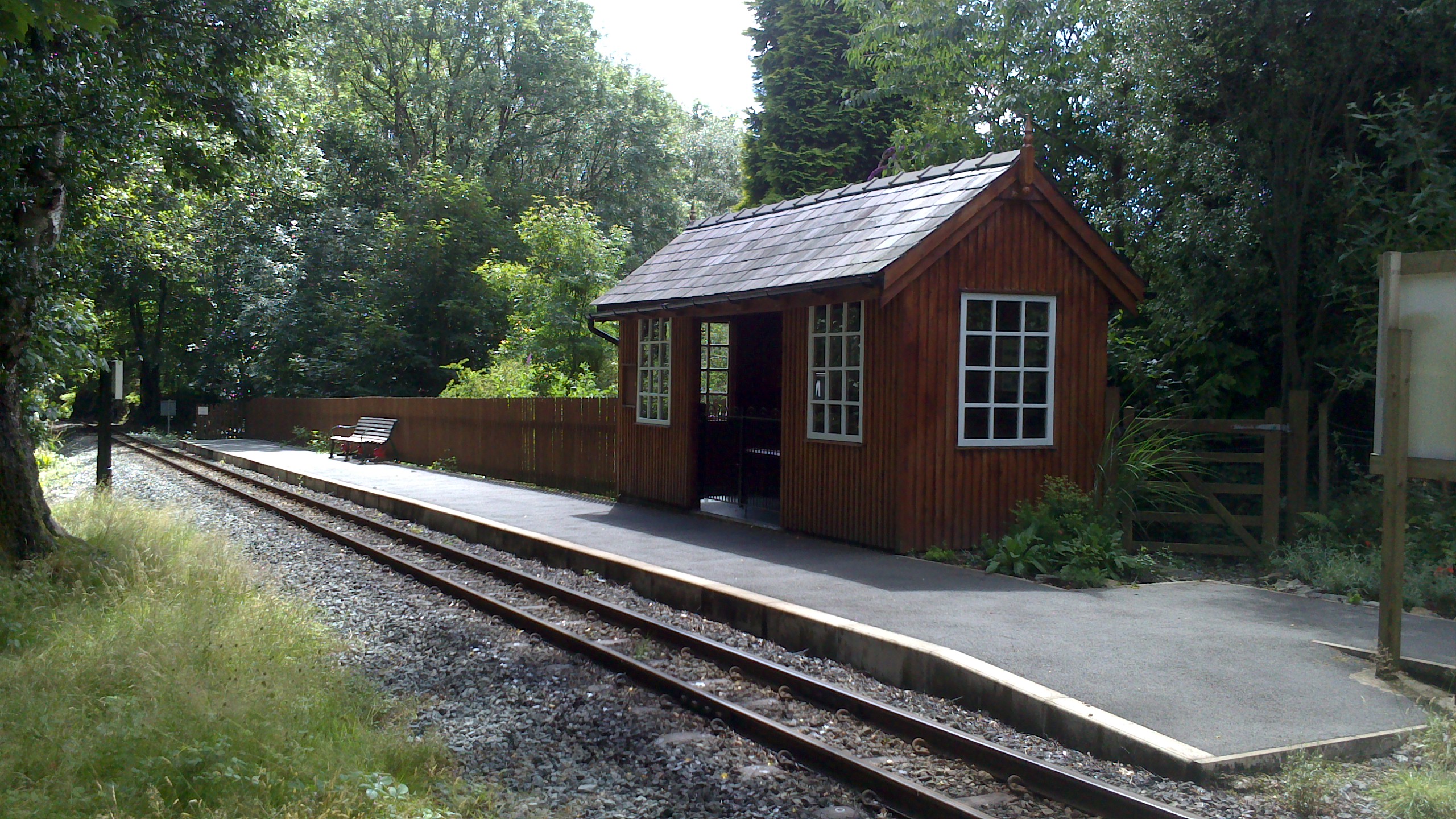
Hafod y Llyn railway station

Hafod y Llyn is a halt in North Wales on the Welsh Highland Railway, located between Beddgelert and Pont Croesor. It had been a halt, with a siding for...

Aberglaslyn Hall

Aberglaslyn Hall is an outdoor learning centre near Beddgelert, North Wales on the edge of the Snowdonia National Park. The hall was purchased by Leicestershire...

Nantmor railway station

Nantmor is a railway halt in North Wales serving the nearby hamlet of the same name. It is located between the stations of Beddgelert and Pont Croesor...

Nantmor

Nantmor is a hamlet which lies about 1½ miles to the south of the village of Beddgelert in Gwynedd, Wales. The current spelling of the name Nantmor is...

Nearby Amenities

Located within 500m of 52.978694,-4.0909072
Railway: level_crossing
Lat/Long: 52.9751849/-4.0915832
Direction: ESE
Generator Method: photovoltaic
Generator Output Electricity: yes
Generator Solar Modules: 8
Generator Source: solar
Generator Type: solar_photovoltaic_panel
Location: roof
Power: generator
Lat/Long: 52.9804257/-4.089263
Direction: ESE
Generator Method: photovoltaic
Generator Output Electricity: yes
Generator Solar Modules: 8
Generator Source: solar
Generator Type: solar_photovoltaic_panel
Location: roof
Power: generator
Lat/Long: 52.9803574/-4.0893073
The data included in this document is from www.openstreetmap.org. The data is made available under ODbL.

Have you been to Coed Hafod-y-llyn?

Leave your review of Coed Hafod-y-llyn below (or comments, questions and feedback).