Coed y Byrdir
Wood, Forest in Merionethshire
Wales
Coed y Byrdir
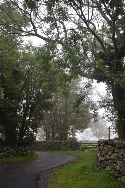
Coed y Byrdir, located in Merionethshire, is a picturesque woodland area known for its natural beauty and diverse ecosystem. Covering a vast expanse of land, this forest is home to various species of plants, animals, and birds, making it an ideal destination for nature enthusiasts and wildlife lovers.
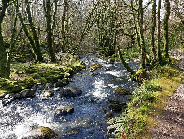
The woodland is primarily composed of native tree species such as oak, beech, and birch, creating a rich and vibrant habitat. The dense canopy provides shade and shelter for a wide range of flora and fauna, including wildflowers, ferns, and mosses that thrive in the damp and fertile soil. Visitors can expect to see a plethora of vibrant colors throughout the seasons, with bluebells and primroses painting the forest floor in spring, and golden hues taking over the landscape in autumn.
Coed y Byrdir is also home to a diverse array of wildlife, including deer, squirrels, badgers, and foxes. Birdwatchers will be delighted to spot various species of birds, including woodpeckers, owls, and warblers. The forest's tranquil atmosphere makes it a haven for these creatures, allowing visitors to observe them in their natural habitat.
For outdoor enthusiasts, Coed y Byrdir offers a network of walking trails, providing opportunities for leisurely strolls or more challenging hikes. The forest is well-maintained, with clear paths and signposts ensuring visitors can navigate easily. The breathtaking views and peaceful surroundings make it an idyllic spot for picnics or simply unwinding amidst nature.
Overall, Coed y Byrdir in Merionethshire is a captivating woodland that showcases the beauty of the natural world. With its diverse flora and fauna, scenic trails, and peaceful ambiance, it is a must-visit destination for anyone seeking solace in nature.
If you have any feedback on the listing, please let us know in the comments section below.
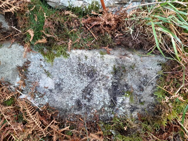
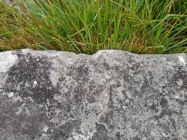
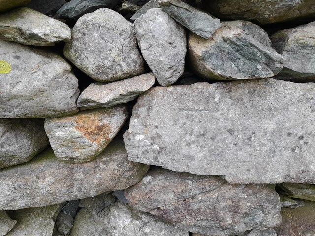
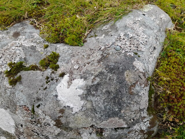
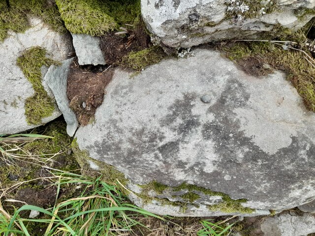
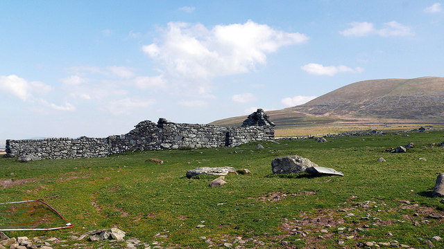
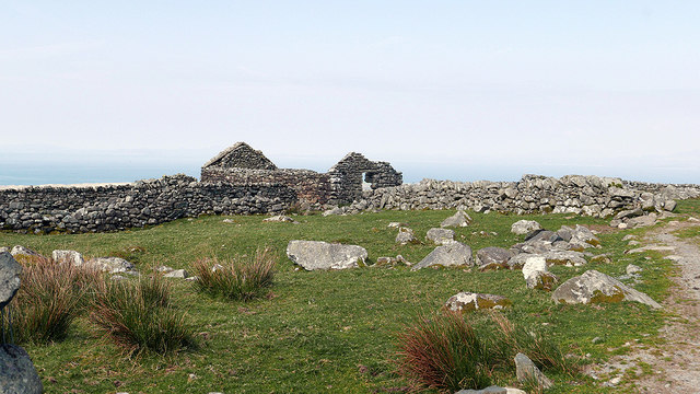
Coed y Byrdir Images
Images are sourced within 2km of 52.798468/-4.0823526 or Grid Reference SH5924. Thanks to Geograph Open Source API. All images are credited.


Coed y Byrdir is located at Grid Ref: SH5924 (Lat: 52.798468, Lng: -4.0823526)
Unitary Authority: Gwynedd
Police Authority: North Wales
What 3 Words
///redeeming.altering.readings. Near Llanbedr, Gwynedd
Nearby Locations
Related Wikis

Dyffryn Ardudwy
Dyffryn Ardudwy (Welsh pronunciation: [ˌdəfrɨ̞n arˈdɨ̞duːɨ̯]; ) is a village, community and electoral ward in the Ardudwy area of Gwynedd, Wales. It comprises...
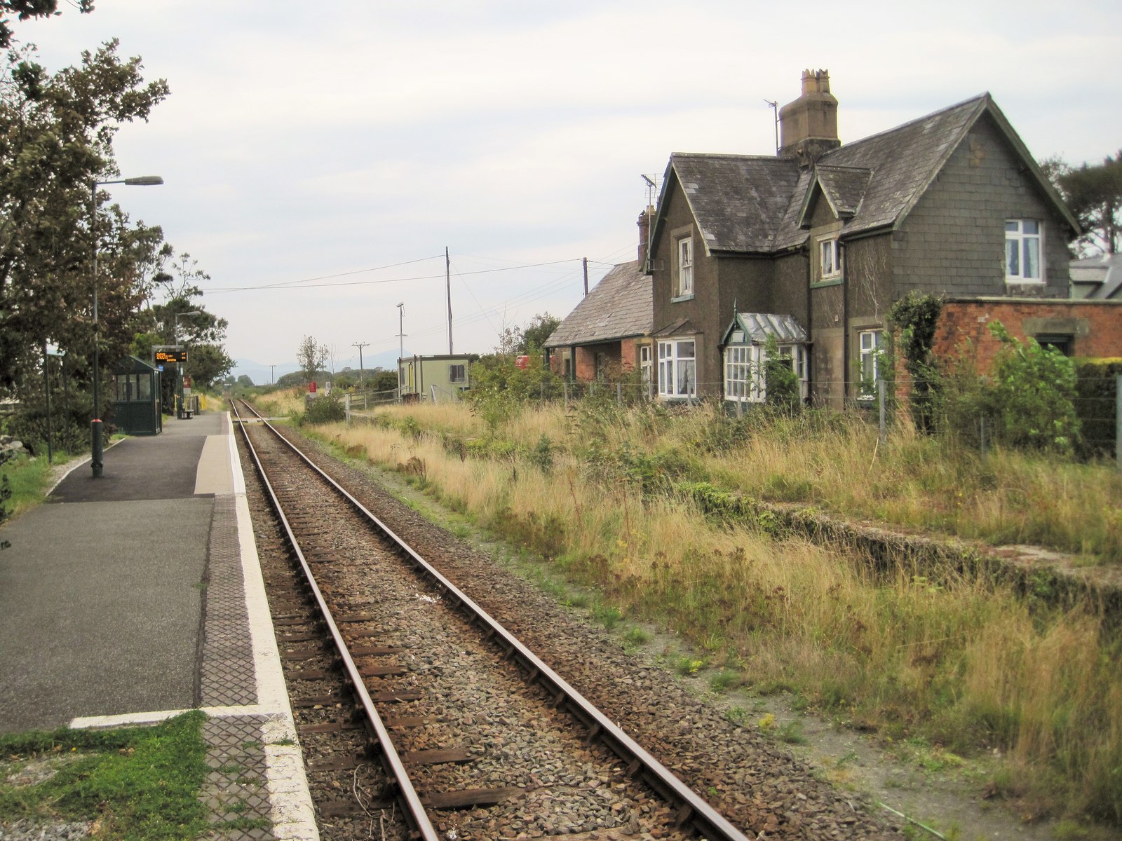
Dyffryn Ardudwy railway station
Dyffryn Ardudwy railway station serves the villages of Dyffryn Ardudwy, Coed Ystumgwern and Llanenddwyn in Gwynedd, Wales. Dyffryn Ardudwy gives its name...

St Dwywe's Church
St Dwywe’s Church is a Grade II* listed church in Llanddwywe, Gwynedd, North Wales.It has a curvilinear churchyard and farm buildings on its west. Its...
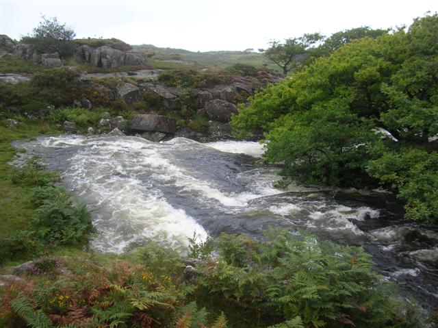
Afon Cwmnantcol
The River Cwmnantcol (Afon Cwmnantcol in Welsh) is a river in North Wales. It is about 3 miles (5 kilometres) long and has its source at the head of Cwm...
Nearby Amenities
Located within 500m of 52.798468,-4.0823526Have you been to Coed y Byrdir?
Leave your review of Coed y Byrdir below (or comments, questions and feedback).