Duck Pond Wood
Wood, Forest in Carmarthenshire
Wales
Duck Pond Wood
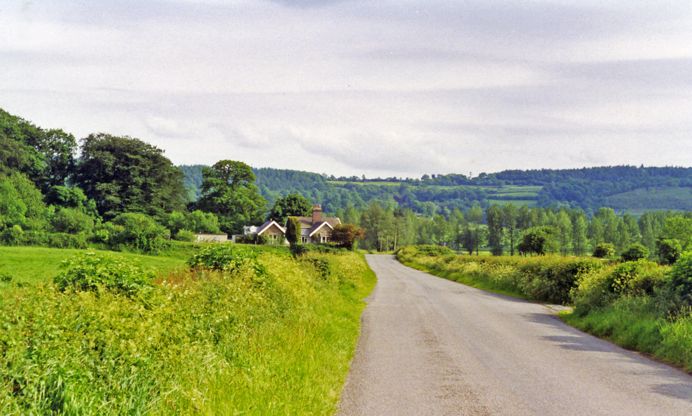
Duck Pond Wood is a picturesque woodland located in Carmarthenshire, Wales. With its serene atmosphere and lush greenery, it is a popular destination for nature lovers and outdoor enthusiasts.
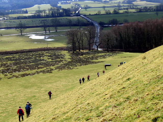
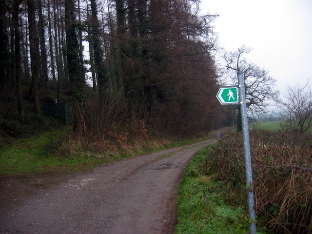
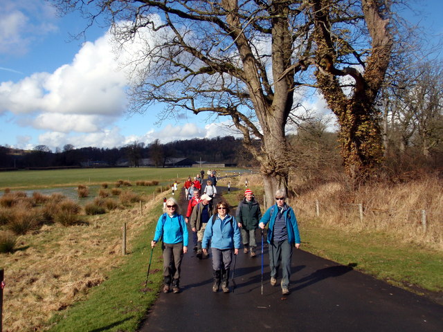
Covering an area of approximately 50 acres, Duck Pond Wood is home to a variety of native tree species, including oak, beech, and birch. The wood is characterized by its dense canopy, which provides shade and shelter to a diverse range of wildlife. Visitors can explore the numerous winding paths that crisscross through the wood, offering a chance to observe the flora and fauna up close.
One of the main attractions of Duck Pond Wood is, as the name suggests, its beautiful duck pond. The pond serves as a habitat for various water birds, including mallards and moorhens. It is a tranquil spot where visitors can relax and enjoy the peaceful surroundings.
The wood is also home to a rich array of plant life, with bluebells, wild garlic, and ferns carpeting the forest floor during the spring months. This creates a stunning display of colors and scents, attracting visitors from far and wide.
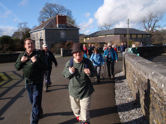
Duck Pond Wood is equipped with picnic areas and benches, making it an ideal spot for a family outing or a peaceful picnic. It is also a popular destination for birdwatching and photography enthusiasts, who can capture the beauty of the woodland and its inhabitants.
Overall, Duck Pond Wood offers a haven of tranquility and natural beauty, providing an escape from the hustle and bustle of everyday life.
If you have any feedback on the listing, please let us know in the comments section below.
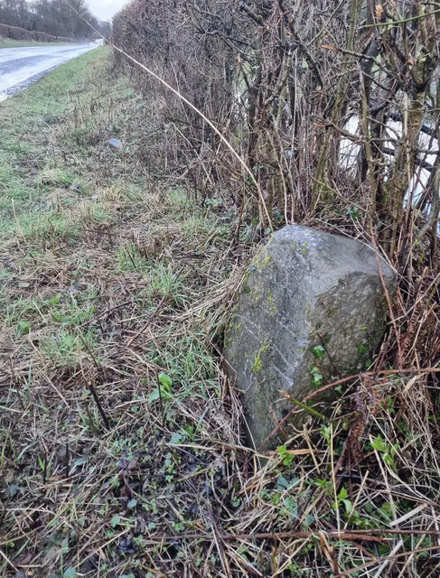
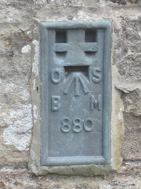
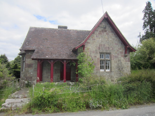
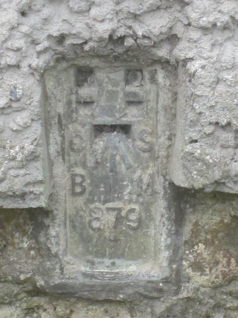
Duck Pond Wood Images
Images are sourced within 2km of 51.86678/-4.0452759 or Grid Reference SN5920. Thanks to Geograph Open Source API. All images are credited.

Duck Pond Wood is located at Grid Ref: SN5920 (Lat: 51.86678, Lng: -4.0452759)
Unitary Authority: Carmarthenshire
Police Authority: Dyfed Powys
What 3 Words
///airbrush.pack.bets. Near Llangathen, Carmarthenshire
Nearby Locations
Related Wikis

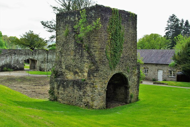
Golden Grove railway station
Golden Grove railway station served the estate of Golden Grove, Carmarthenshire, Wales from 1865 to 1963 on the Llanelly Railway. == History == The station...
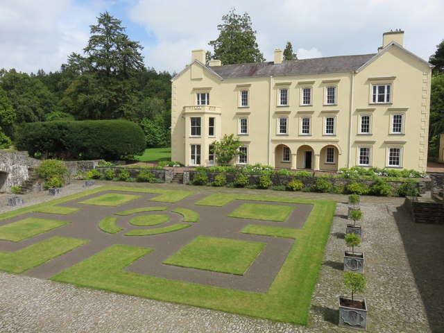
Golden Grove, Carmarthenshire
Golden Grove (Welsh: Gelli Aur) is a mansion and estate in the Welsh county of Carmarthenshire, located 4 miles (6 km) southwest of Llandeilo. == History... ==

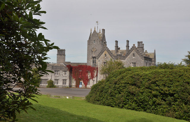
Gelli Aur country park
Gelli Aur (meaning: Golden Grove) is a country park in Carmarthenshire, Wales, with 60 acres (240,000 m2) of wooded parkland surrounding Golden Grove mansion...

Ffynnon-ddrain
Ffynnon-ddrain is a settlement in Carmarthenshire, Wales, one mile north-west of the town of Carmarthen, 24 miles north-west of the major city of Swansea...
Allt y wern
Allt y Wern is a Site of Special Scientific Interest (SSSI) in the community of Llangathen in Carmarthenshire, Wales. The site is a semi-natural broadleaved...

Aberglasney
Aberglasney House and Gardens is a medieval house and gardens set in the Tywi valley in the parish of Llangathen, Carmarthenshire, West Wales. It is owned...
Llangathen
Llangathen () is a village and community located in Carmarthenshire, Wales. The population taken at the 2011 census was 507.The parish church of St Cathen...
Cathinog Hundred
Cathinog (also spelt Catheiniog, Cetheiniog) was a hundred, a geographic division, in the traditional county of Carmarthenshire, Wales. Its name derives...
Nearby Amenities
Located within 500m of 51.86678,-4.0452759Have you been to Duck Pond Wood?
Leave your review of Duck Pond Wood below (or comments, questions and feedback).