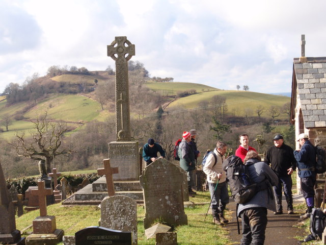
The Lawns
Wood, Forest in Carmarthenshire
Wales
The Lawns
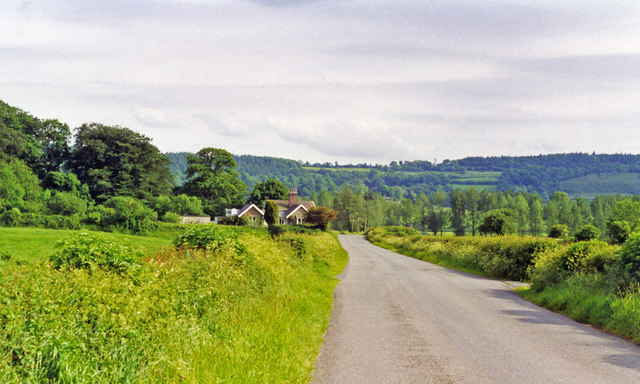
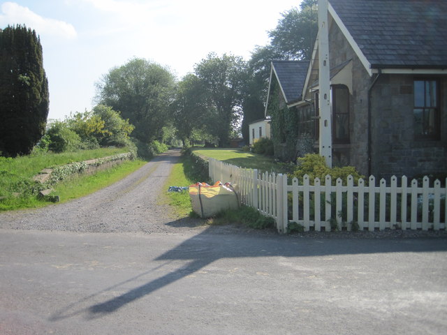
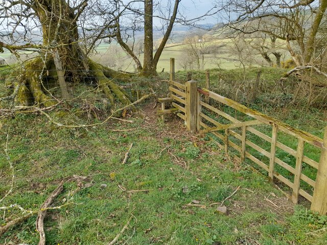
The Lawns in Carmarthenshire is a picturesque wood and forest area located in Wales, United Kingdom. Spread across a vast expanse of land, it offers visitors a serene and tranquil environment to escape the hustle and bustle of city life.
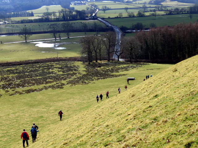
Covered with a dense canopy of trees, The Lawns is home to a diverse range of flora and fauna. The wood is primarily made up of native tree species such as oak, beech, and ash, creating a rich and vibrant ecosystem. Walking through the forest, visitors can admire the towering trees, listen to the soothing sounds of birdsong, and breathe in the fresh, crisp air.
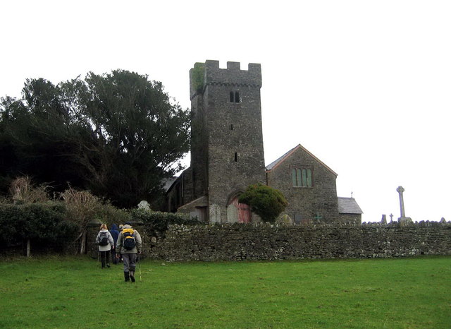
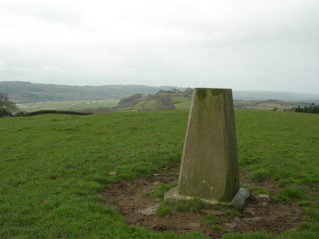
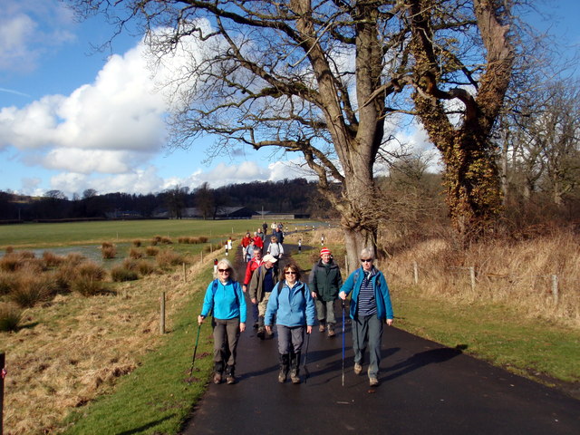
The Lawns also boasts several well-maintained walking trails, allowing visitors to explore the area at their own pace. These trails offer varying levels of difficulty, catering to both casual strollers and experienced hikers. Along the way, walkers may encounter picturesque streams, small ponds, and an abundance of wildlife, including deer, squirrels, and a wide array of bird species.
The wood is a popular destination for nature lovers, photographers, and outdoor enthusiasts alike. It provides an ideal setting for activities such as birdwatching, nature photography, and picnicking. Additionally, the calm and peaceful ambiance of The Lawns makes it an excellent spot for meditation and relaxation.
Overall, The Lawns in Carmarthenshire is a haven for those seeking to connect with nature. Its natural beauty and tranquil atmosphere make it an idyllic destination for individuals and families looking to immerse themselves in the wonders of the Welsh countryside.
If you have any feedback on the listing, please let us know in the comments section below.
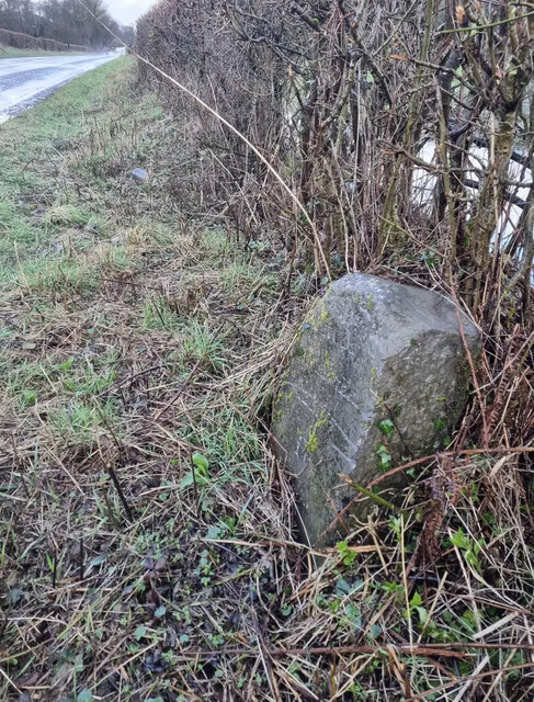
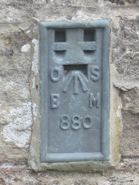
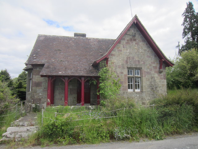
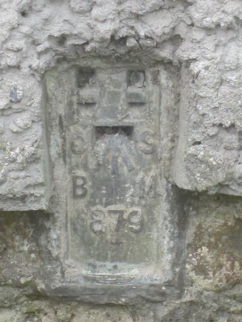
The Lawns Images
Images are sourced within 2km of 51.869437/-4.0398765 or Grid Reference SN5920. Thanks to Geograph Open Source API. All images are credited.
The Lawns is located at Grid Ref: SN5920 (Lat: 51.869437, Lng: -4.0398765)
Unitary Authority: Carmarthenshire
Police Authority: Dyfed Powys
What 3 Words
///unleashed.richly.shocked. Near Llangathen, Carmarthenshire
Nearby Locations
Related Wikis

Golden Grove railway station
Golden Grove railway station served the estate of Golden Grove, Carmarthenshire, Wales from 1865 to 1963 on the Llanelly Railway. == History == The station...
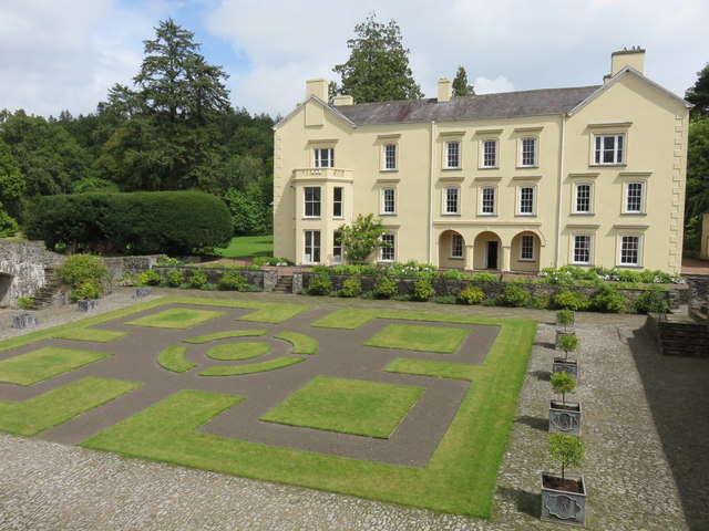
Golden Grove, Carmarthenshire
Golden Grove (Welsh: Gelli Aur) is a mansion and estate in the Welsh county of Carmarthenshire, located 4 miles (6 km) southwest of Llandeilo. == History... ==
Gelli Aur country park
Gelli Aur (meaning: Golden Grove) is a country park in Carmarthenshire, Wales, with 60 acres (240,000 m2) of wooded parkland surrounding Golden Grove mansion...

Ffynnon-ddrain
Ffynnon-ddrain is a settlement in Carmarthenshire, Wales, one mile north-west of the town of Carmarthen, 24 miles north-west of the major city of Swansea...
Nearby Amenities
Located within 500m of 51.869437,-4.0398765Have you been to The Lawns?
Leave your review of The Lawns below (or comments, questions and feedback).