Coed Hafod-y-bryn
Wood, Forest in Merionethshire
Wales
Coed Hafod-y-bryn

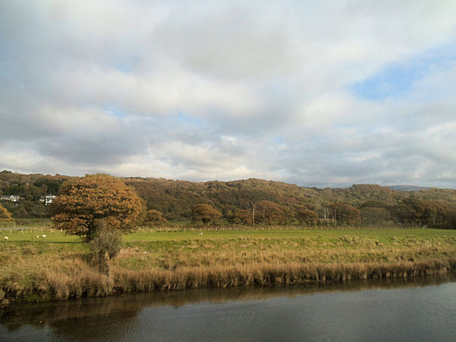
Coed Hafod-y-bryn, located in Merionethshire, is a captivating woodland area known for its natural beauty and diverse ecosystem. Covering an area of approximately 200 acres, this enchanting forest is nestled in the heart of the Welsh countryside, providing a serene and tranquil escape for nature enthusiasts.
Boasting a rich history, Coed Hafod-y-bryn has been carefully managed for centuries, ensuring the preservation of its unique flora and fauna. The woodland is home to a variety of tree species, including oak, birch, and ash, which create a dense and lush canopy overhead. The forest floor is adorned with an array of wildflowers, ferns, and mosses, adding to the vibrant tapestry of colors and textures.
Visitors to Coed Hafod-y-bryn can explore its numerous walking trails, offering scenic views and opportunities for wildlife spotting. The forest is inhabited by diverse wildlife, including deer, badgers, foxes, and a wide range of bird species. The abundance of natural resources and habitats within the woodland attracts a multitude of creatures, contributing to the area's ecological significance.
The management of Coed Hafod-y-bryn prioritizes sustainability and conservation, with efforts to maintain the delicate balance of the ecosystem. The woodland is periodically thinned and managed to promote healthy growth and prevent overcrowding. This careful management ensures the longevity of the woodland and its continued ability to support a diverse range of plant and animal life.
Coed Hafod-y-bryn is a captivating destination that offers a captivating blend of natural beauty, tranquility, and ecological significance. Whether visitors seek a peaceful stroll amidst forested pathways or a chance to immerse themselves in the wonders of nature, this woodland in Merionethshire is sure to provide an unforgettable experience.
If you have any feedback on the listing, please let us know in the comments section below.
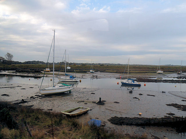
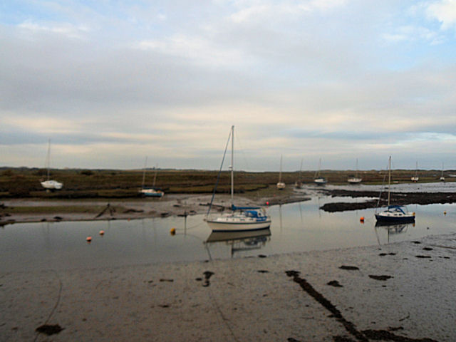
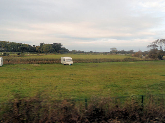
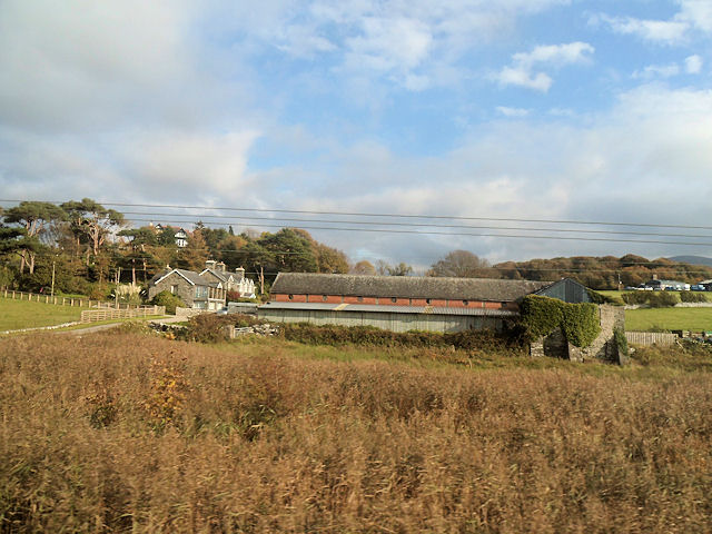
Coed Hafod-y-bryn Images
Images are sourced within 2km of 52.815973/-4.0987123 or Grid Reference SH5826. Thanks to Geograph Open Source API. All images are credited.


Coed Hafod-y-bryn is located at Grid Ref: SH5826 (Lat: 52.815973, Lng: -4.0987123)
Unitary Authority: Gwynedd
Police Authority: North Wales
What 3 Words
///downsize.contents.finger. Near Llanbedr, Gwynedd
Nearby Locations
Related Wikis
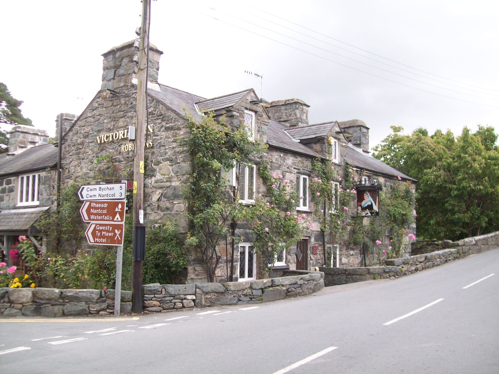
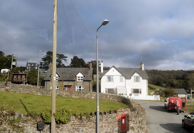
Llanbedr
Llanbedr () is a village and community 2.8 miles (4.5 km) south of Harlech. Administratively, it lies in the Ardudwy area, formerly Meirionnydd, of the...
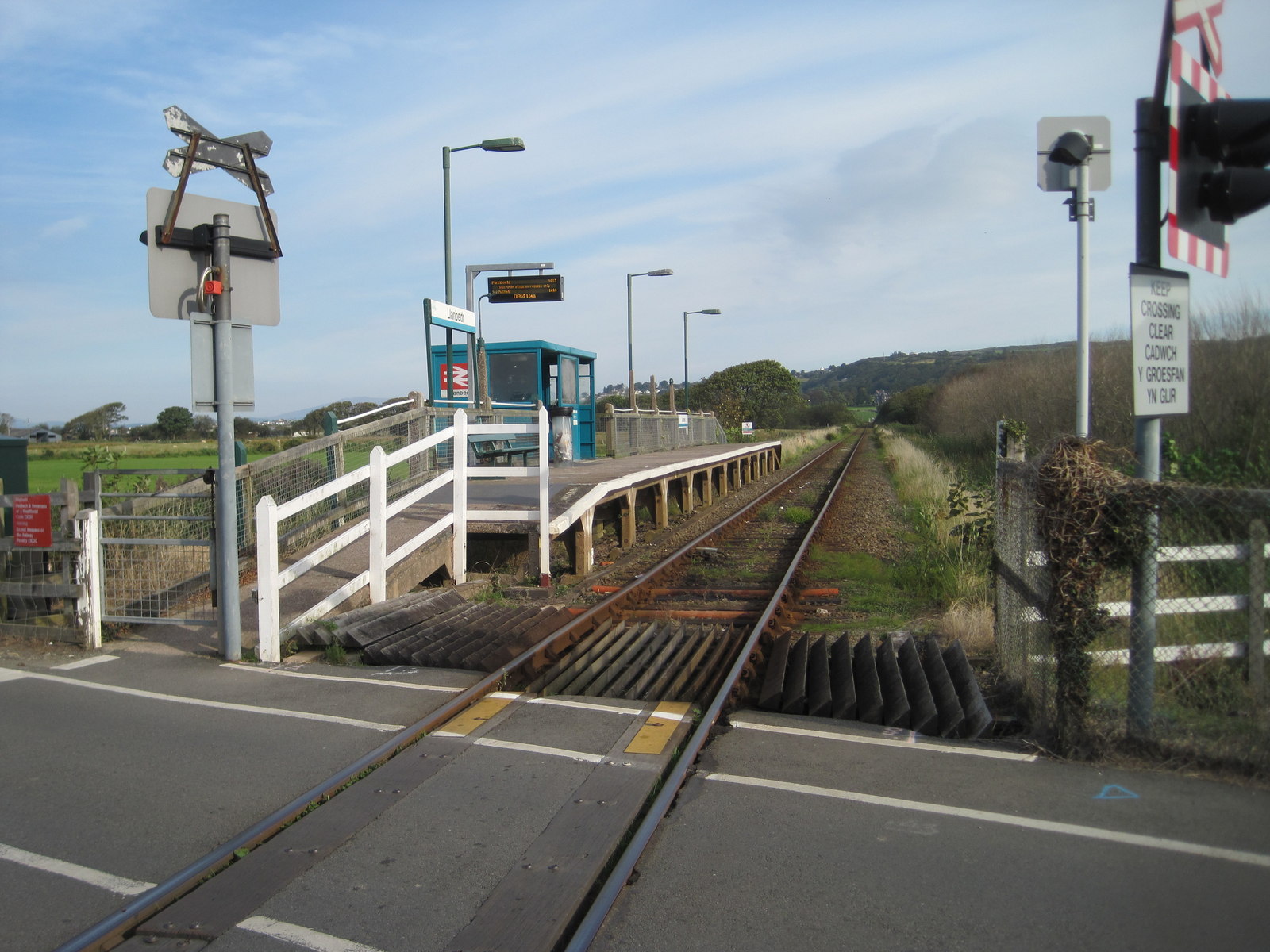
Llanbedr railway station
Llanbedr railway station (formerly Talwrn Bach) serves the village of Llanbedr in Gwynedd, Wales. The station is an unstaffed halt on the Cambrian Coast...
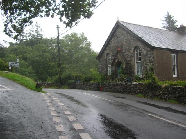
Pentre Gwynfryn
Pentre Gwynfryn is a village in the Ardudwy area of Gwynedd, Wales about 1 mile (1.6 km) east of Llanbedr and the community of the same name. The village...

Pensarn, Gwynedd
Pensarn (or Pen-sarn) is a small village in the Ardudwy area of Gwynedd, Wales. It is situated on the coastal road between Llanbedr and Harlech. There...

Afon Cwmnantcol
The River Cwmnantcol (Afon Cwmnantcol in Welsh) is a river in North Wales. It is about 3 miles (5 kilometres) long and has its source at the head of Cwm...

Pensarn railway station
Pensarn railway station serves the village of Pensarn in Gwynedd, Wales. The station is an unstaffed halt on the Cambrian Coast Railway with passenger...

Capel Salem, Llanbedr
Capel Salem is a Grade II listed building in the hamlet of Pentre Gwynfryn, near Llanbedr, Gwynedd, Wales. This Baptist chapel building is located about...
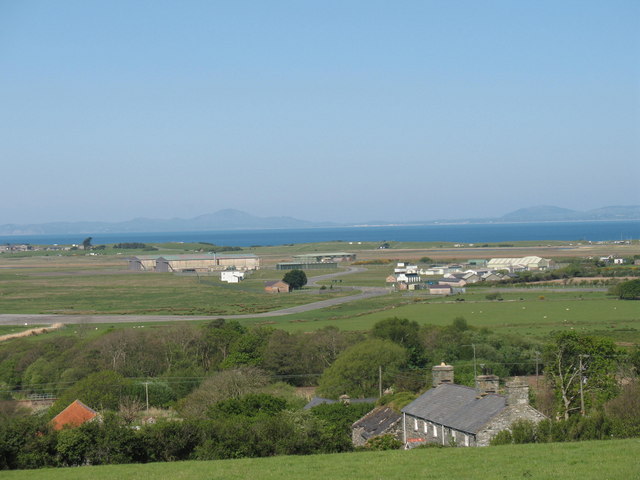
Llanbedr Airport
Llanbedr Airport (ICAO: EGFD) (Welsh: Maes Awyr Llanbedr), formerly RAE Llanbedr (ICAO: EGOD), is an operational general aviation airport located in the...
Nearby Amenities
Located within 500m of 52.815973,-4.0987123Have you been to Coed Hafod-y-bryn?
Leave your review of Coed Hafod-y-bryn below (or comments, questions and feedback).