Coed Gleision
Wood, Forest in Cardiganshire
Wales
Coed Gleision
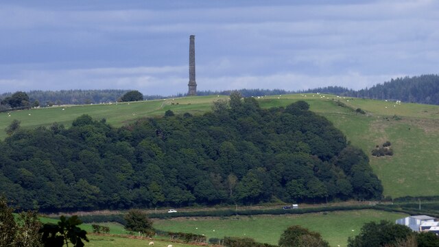
Coed Gleision, located in Cardiganshire, is a picturesque wood and forest area that stretches over a vast expanse of land. With its stunning natural beauty and rich biodiversity, it is a popular destination for nature enthusiasts, hikers, and those seeking tranquility amidst the splendor of the outdoors.
The wood is characterized by a diverse range of tree species, including oak, beech, ash, and pine. These towering trees create a dense canopy, providing shade and shelter for the myriad of flora and fauna that call Coed Gleision home. The forest floor is carpeted with an array of wildflowers, ferns, and mosses, creating a vibrant and enchanting ambiance.
Wildlife thrives within the wood, with various species of birds, including woodpeckers, owls, and robins, filling the air with their melodious songs. Squirrels dart among the branches, while rabbits and deer can often be spotted grazing in the clearings. The presence of these creatures adds to the enchanting atmosphere of Coed Gleision.
Visitors to the area can explore the wood through a network of well-maintained walking trails, which offer breathtaking views and opportunities to observe the diverse flora and fauna. As they wander through the forest, visitors may stumble upon hidden streams and cascading waterfalls, further enhancing the ethereal beauty of this natural wonder.
Coed Gleision is not only a haven for nature lovers but also serves as an important ecological site, contributing to the conservation of the local biodiversity. Its stunning landscapes and wealth of natural resources make it a cherished destination, attracting visitors from near and far who seek solace and inspiration in this idyllic woodland paradise.
If you have any feedback on the listing, please let us know in the comments section below.
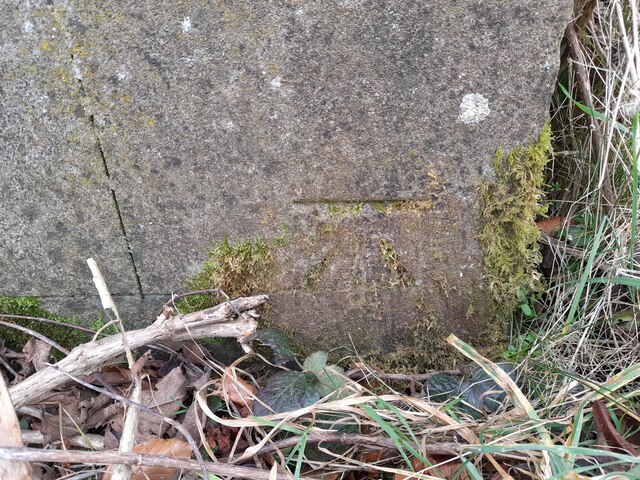
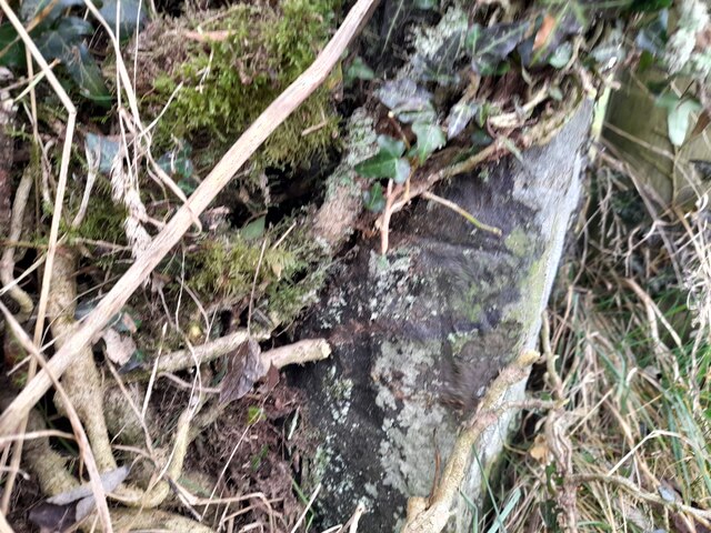
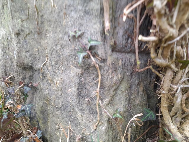
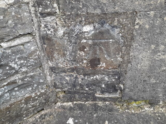
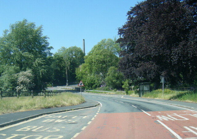
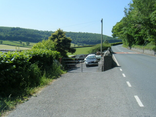
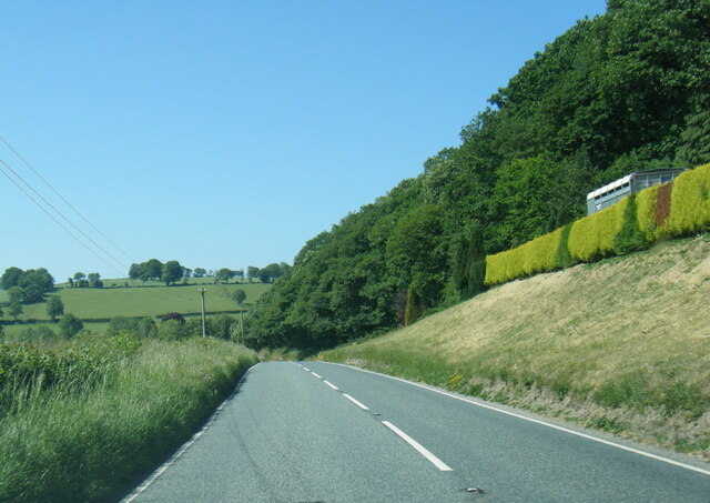
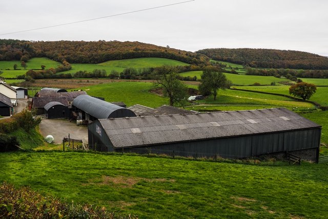
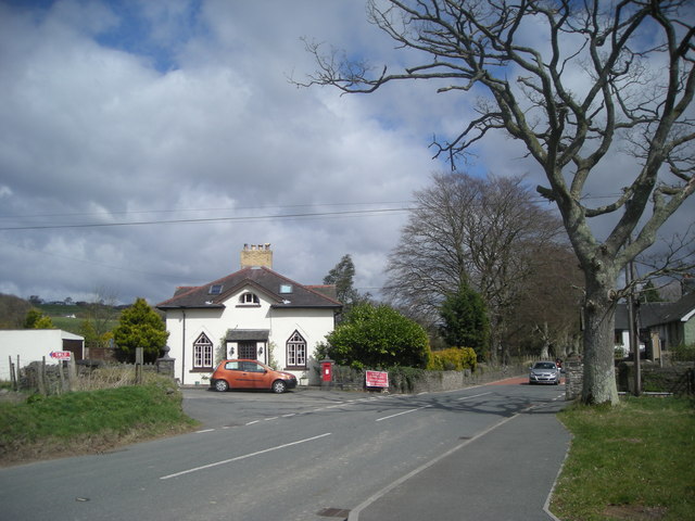
Coed Gleision Images
Images are sourced within 2km of 52.149879/-4.0673653 or Grid Reference SN5852. Thanks to Geograph Open Source API. All images are credited.

Coed Gleision is located at Grid Ref: SN5852 (Lat: 52.149879, Lng: -4.0673653)
Unitary Authority: Ceredigion
Police Authority: Dyfed Powys
What 3 Words
///protester.swing.gets. Near Llangybi, Ceredigion
Nearby Locations
Related Wikis

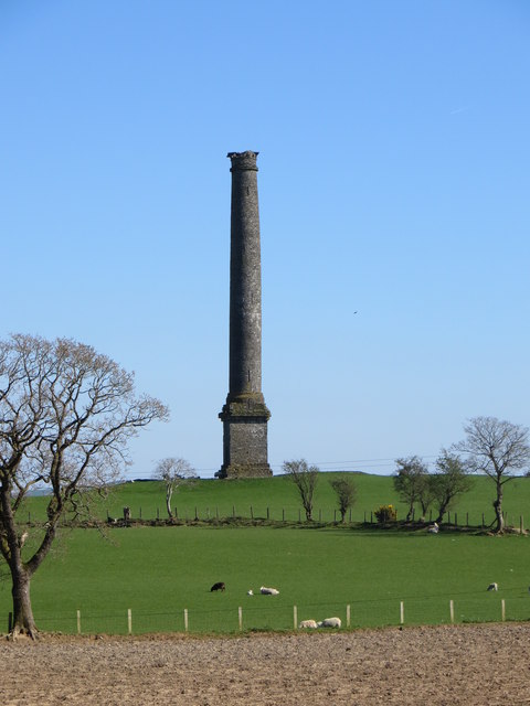
Derry Ormond Tower
Derry Ormond Tower is a Grade II*-listed folly situated above Betws Bledrws, 3 miles (4.8 km) north of Lampeter in the county of Ceredigion, Wales. It...

Derry Ormond
Derry Ormond is a farm and a small village in the community of Llangybi, Ceredigion, Wales, which is 60.1 miles (96.7 km) from Cardiff and 173.8 miles...
Betws Bledrws
Betws Bledrws, is a village between Lampeter and Llangybi, Ceredigion, Wales that was also known as Derry Ormond when under the influence of Derry Ormond...
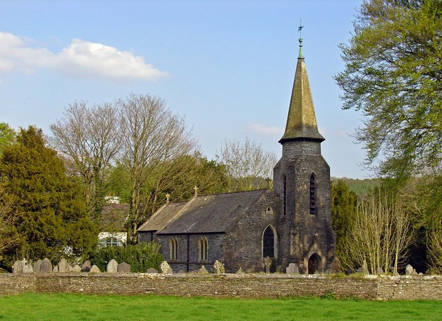
Betws Bledrws Church
The present church of St Bledrws, in the village of Betws Bledrws (sometimes spelt Bettws Bledrws), near Lampeter, Ceredigion, Wales, is a 19th-century...

Derry Ormond railway station
Derry Ormond railway station served the hamlet and rural locale of Betws Bledrws near Llangybi, as well as the mansion and estate of Derry Ormond (demolished...
Silian Halt railway station
The Silian Halt railway station was a small railway station at Silian, the first stop after the junction on the Aberayron branch of the Carmarthen to Aberystwyth...
Caeau Llety-cybi
Caeau Llety-cybi is a Site of Special Scientific Interest in Ceredigion, west Wales. The lowland meadow site is managed by the Wildlife Trust of South...
Silian, Ceredigion
Silian, originally Sulien, is a village in the valley of the River Teifi, Ceredigion, Wales. It is located approximately two miles north-west of Lampeter...
Nearby Amenities
Located within 500m of 52.149879,-4.0673653Have you been to Coed Gleision?
Leave your review of Coed Gleision below (or comments, questions and feedback).