Oberon Wood
Wood, Forest in Caernarfonshire
Wales
Oberon Wood
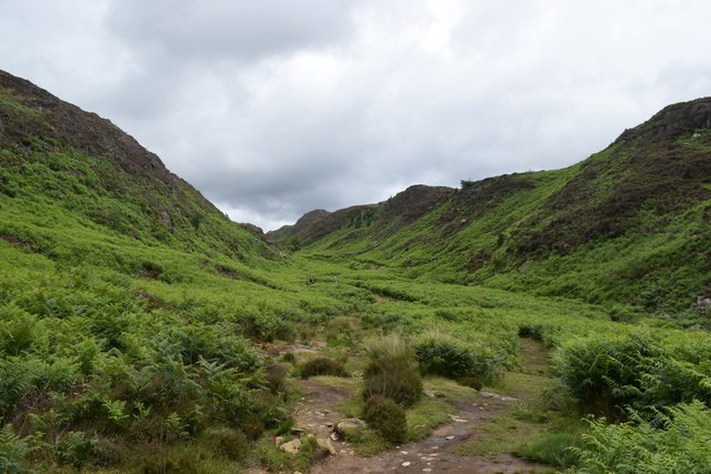
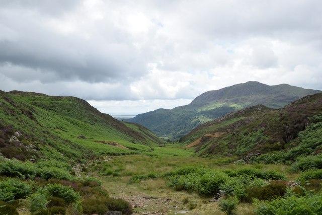
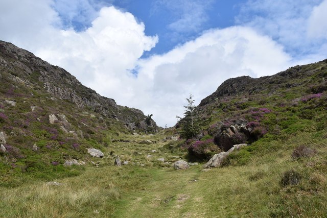
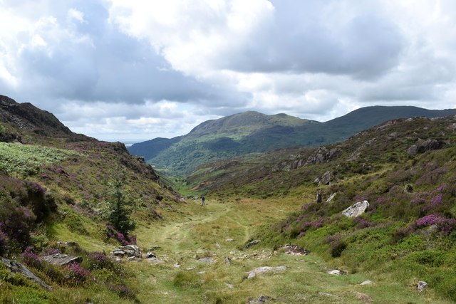
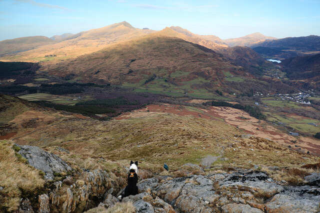
Oberon Wood, located in the county of Caernarfonshire in Wales, is a picturesque forest that spans an area of approximately 200 acres. Nestled in the heart of Snowdonia National Park, this enchanting woodland is renowned for its natural beauty and tranquil atmosphere.
The wood is predominantly composed of native broadleaf trees, including oak, beech, and birch, which create a rich and diverse ecosystem. The dense canopy provides a haven for a variety of bird species, such as woodpeckers and owls, making it a popular spot for birdwatching enthusiasts.
Tranquil walking trails wind their way through the forest, inviting visitors to explore the serene surroundings. The paths are well-maintained and offer stunning views of the surrounding mountains and valleys, adding to the overall allure of Oberon Wood.
Wildlife thrives within the wood, with sightings of deer, foxes, and squirrels being common. The forest floor is adorned with an array of wildflowers and ferns, creating a vibrant and colorful carpet during the spring and summer months.
Oberon Wood is not only a haven for nature lovers but also a place of historical significance. The remains of an ancient hillfort can be found within its boundaries, providing a glimpse into the area's past.
Visitors to Oberon Wood can enjoy a peaceful retreat away from the hustle and bustle of everyday life. Whether it's a leisurely stroll, birdwatching, or simply immersing oneself in the natural beauty, this forest is a hidden gem waiting to be discovered in the heart of Caernarfonshire.
If you have any feedback on the listing, please let us know in the comments section below.
Oberon Wood Images
Images are sourced within 2km of 53.008978/-4.1075458 or Grid Reference SH5847. Thanks to Geograph Open Source API. All images are credited.


Oberon Wood is located at Grid Ref: SH5847 (Lat: 53.008978, Lng: -4.1075458)
Unitary Authority: Gwynedd
Police Authority: North Wales
What 3 Words
///stand.reworked.rave. Near Penrhyndeudraeth, Gwynedd
Nearby Locations
Related Wikis
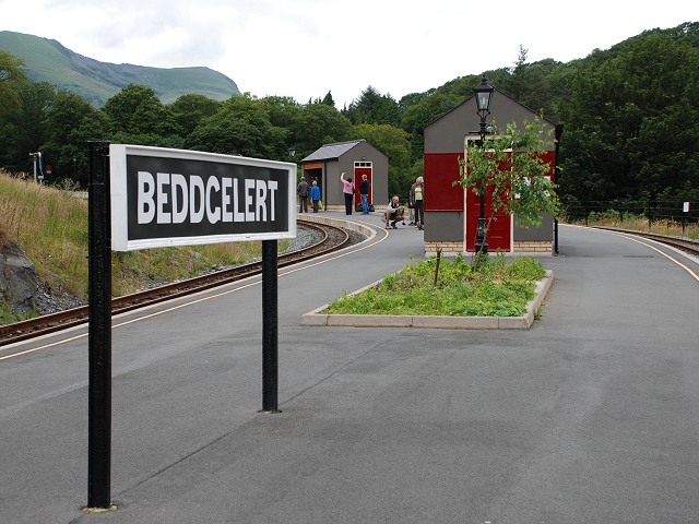
Beddgelert railway station
Beddgelert railway station is a railway station on the narrow gauge Welsh Highland Railway in North Wales. The rebuilt station was officially opened by...
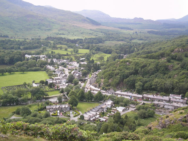
Beddgelert
Beddgelert (Welsh: [bɛðˈgɛlɛrt] ) is a village and community in the Snowdonia area of Gwynedd, Wales. The population of the community taken at the 2011...

A498 road
The A498 is a 16-mile road between Pen-y-Gwryd and Porthmadog in North Wales. At Pen-y-Gwryd, the A4086 Llanberis Pass route bears off to the north. The...
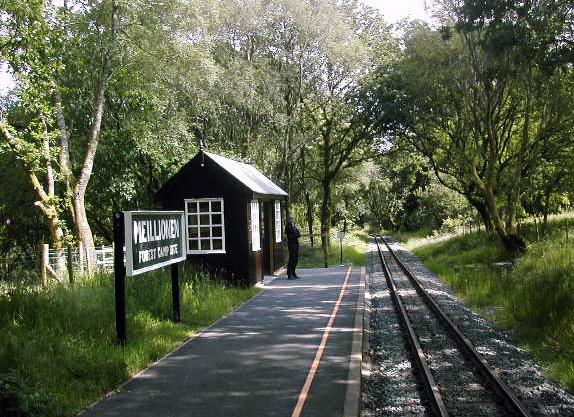
Meillionen railway station
Meillionen railway station is a halt on the Welsh Highland Railway. It opened to the public when the section of line between Rhyd Ddu and Beddgelert re...

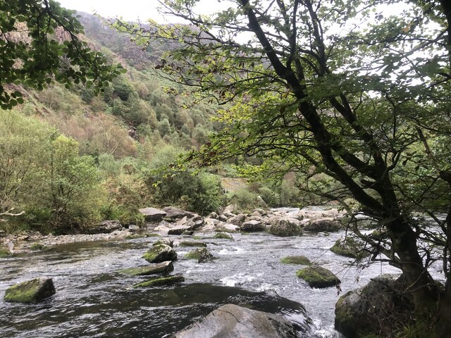
Aberglaslyn Pass
The Aberglaslyn Pass (Welsh: Bwlch Aberglaslyn) is a narrow gorge of considerable beauty in Snowdonia, Gwynedd, north Wales. The A498 road/A4085 road follows...

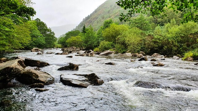
Afon Meillionen
Afon Meillionen (Welsh for Clover River) is a small river near Beddgelert in Gwynedd, north-west Wales. It flows down Cwm Meillionen, a small valley which...

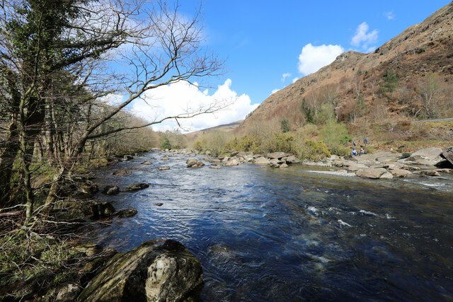
Pont Aberglaslyn
Pont Aberglaslyn is a stone arch bridge over the Afon Glaslyn and the surrounding hamlet, located near Beddgelert and Nantmor in Gwynedd, north-west Wales...

Beddgelert Fault
Beddgelert Fault First reported in a Memoir of the British Geological Survey activity ref. Ramsay 1881. It is a SW-NE trending volcanotectonic fault in...
Related Videos

Beddgelert, Gelert's Grave & Dinas Emrys Walking Tour Snowdonia North Wales: The Red Dragon
A walking tour of the famously beautiful Beddgelert village in Snowdonia, North Wales and a trip up to the ancient and ...

Easy walk in Snowdonia National Park that must be seen to be believed
In this video, I headed to Aberglaslyn in Snowdnia National Park - the start of the National Trust's 5.7 mile circular walk through ...

Rambling With Ritchie: The Fisherman’s Path, Beddgelert
Here is a video of the Fisherman's Path in Beddgelert. Now it's not the one you're thinking of with the ladders above the water ...

Have you ever been to Beddgelert? | Travel to Wales | November 2020
Beddgelert is a small Village in the Snowdonia National Park in Wales. You have never heard of it? Not even off the myth of the ...
Nearby Amenities
Located within 500m of 53.008978,-4.1075458Have you been to Oberon Wood?
Leave your review of Oberon Wood below (or comments, questions and feedback).