Allt Hugh Siôn

Wood, Forest in Cardiganshire

Wales

Allt Hugh Siôn

Ordnance Survey Cut Mark This OS cut mark can be found on the SE angle of the church. It marks a point 148.605m above mean sea level.
Ordnance Survey Cut Mark Credit: Adrian Dust

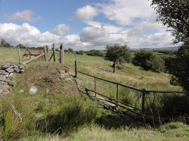
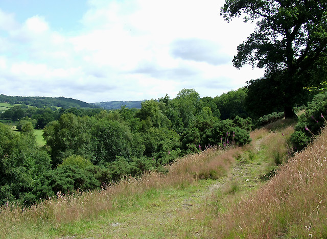
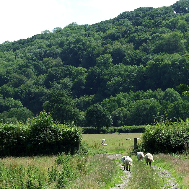
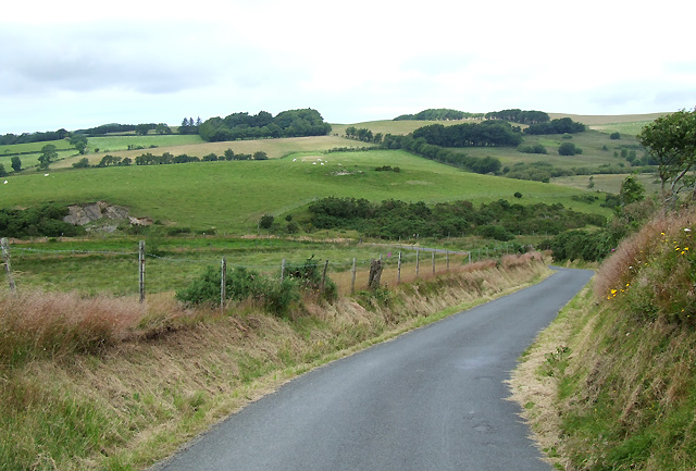
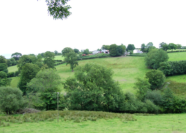
Allt Hugh Siôn is a woodland area located in the county of Cardiganshire, Wales. Covering an area of approximately 200 hectares, this forested landscape is a captivating sight for nature enthusiasts and outdoor adventurers alike.

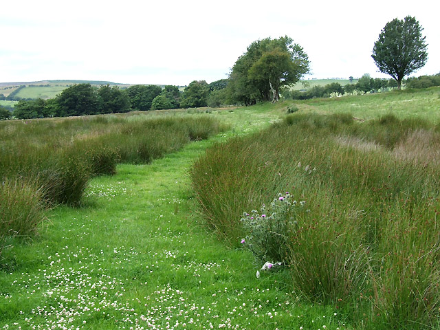
The woodland is characterized by a diverse range of tree species, including oak, beech, and birch. These towering trees provide a dense canopy that creates a cool and shaded environment, perfect for walking, hiking, or simply immersing oneself in the tranquility of nature.

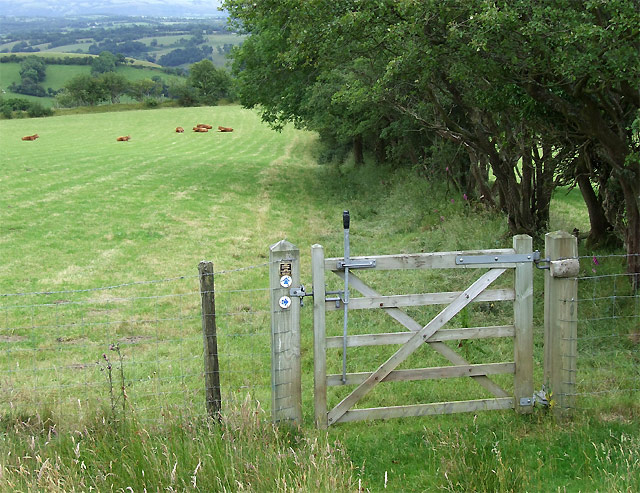
Allt Hugh Siôn is home to a variety of wildlife, making it an ideal destination for wildlife enthusiasts and birdwatchers. Visitors may be lucky enough to spot red kites soaring overhead, or catch glimpses of elusive woodland creatures such as deer, foxes, and badgers.

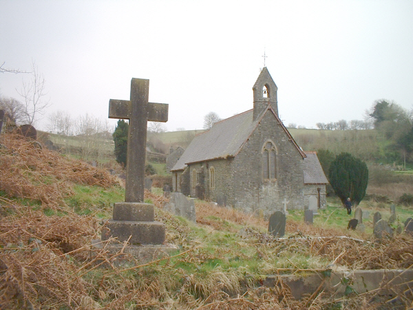
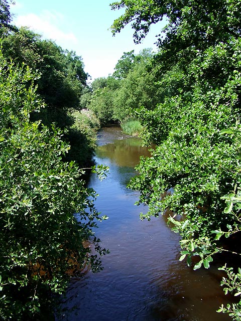
The forest also boasts several walking trails, varying in length and difficulty, catering to all levels of fitness and experience. These well-maintained paths provide an opportunity to explore the woodland's hidden gems, including picturesque streams, ancient ruins, and breathtaking viewpoints.

For those seeking a more immersive experience, camping facilities are available within the forest, allowing visitors to spend the night under the starlit sky and wake up to the sounds of nature. Additionally, there are picnic areas and designated spots for barbecues, providing opportunities for outdoor dining and relaxation.

Allt Hugh Siôn, with its stunning natural beauty and abundant wildlife, offers a truly enchanting experience for anyone seeking solace in the heart of Cardiganshire's woodlands.

If you have any feedback on the listing, please let us know in the comments section below.

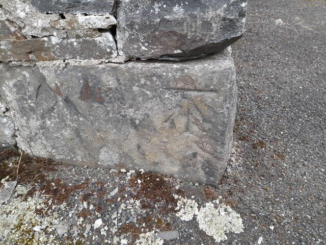
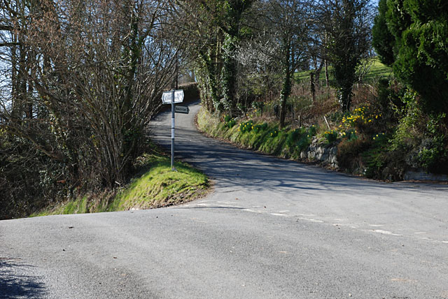
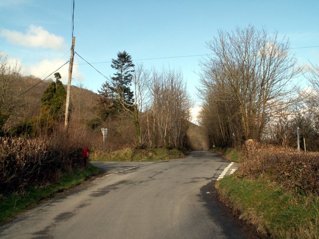
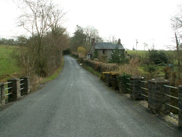
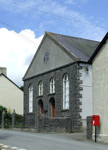
Allt Hugh Siôn Images

Images are sourced within 2km of 52.204539/-4.0725368 or Grid Reference SN5858. Thanks to Geograph Open Source API. All images are credited.

Ordnance Survey Cut Mark This OS cut mark can be found on the SE angle of the church. It marks a point 148.605m above mean sea level.
Ordnance Survey Cut Mark
This OS cut mark can be found on the SE angle of the church. It marks a point 148.605m above mean sea level.
Ordnance Survey Rivet This OS rivet can be found on the north parapet of the bridge. It marks a point 109.140m above mean sea level.
Ordnance Survey Rivet
This OS rivet can be found on the north parapet of the bridge. It marks a point 109.140m above mean sea level.
An easier way in We thought to get into this square by climbing out of Cwm Bwlch, but were defeated by deep mud. We drove up onto the hill, and parked in a disused slate quarry in the next square west; it was an easy walk from there.
An easier way in
We thought to get into this square by climbing out of Cwm Bwlch, but were defeated by deep mud. We drove up onto the hill, and parked in a disused slate quarry in the next square west; it was an easy walk from there.
Church, Nantcwnlle
Church, Nantcwnlle
B4342 junction with a minor road to Bwlch-llan Here the B4342 descends to near the Afon Aeron, while the minor road heads uphill to serve several farms and other dwellings.
B4342 junction with a minor road to Bwlch-llan
Here the B4342 descends to near the Afon Aeron, while the minor road heads uphill to serve several farms and other dwellings.
The B4342 to Llangeitho from Tal-sarn Pic taken near to Bwlch-Llan which is first left onto the B4576 at the cross roads shown.
The B4342 to Llangeitho from Tal-sarn
Pic taken near to Bwlch-Llan which is first left onto the B4576 at the cross roads shown.
Nant Meurig Looking SE from Gartheli.
Nant Meurig
Looking SE from Gartheli.
Caeronen from the bridge over the Nant Meurig
The B4576 at Hafod Looking to College Wood.
The B4576 at Hafod
Looking to College Wood.
Chapel at Bwlch-Llan, Ceredigion Built originally in 1841, then rebuilt and extended in 1876. This was a Calvinistic Methodist Chapel, now run by the Presbyterian Church of Wales.
Chapel at Bwlch-Llan, Ceredigion
Built originally in 1841, then rebuilt and extended in 1876. This was a Calvinistic Methodist Chapel, now run by the Presbyterian Church of Wales.
Footpath towards Capel Betws Lleucu, Ceredigion This footpath has traversed the lower slopes of the steep valley side for nearly two miles, and leads to Capel Betws Lleucu.
Footpath towards Capel Betws Lleucu, Ceredigion
This footpath has traversed the lower slopes of the steep valley side for nearly two miles, and leads to Capel Betws Lleucu.
Grazing and Woodland by the Afon Aeron, Ceredigion The Aeron River flows close to the base of the forested hillside. The floodplain is about 400 metres in width here.
Grazing and Woodland by the Afon Aeron, Ceredigion
The Aeron River flows close to the base of the forested hillside. The floodplain is about 400 metres in width here.
Afon Aeron north of Gartheli, Ceredigion
Bwlch-Llan, Ceredigion
Lane from Bwlch-Llan, and farmland  , Ceredigion
Lane from Bwlch-Llan, and farmland , Ceredigion
Bridleway west of Bwlch-Llan, Ceredigion This green and grassy route is mapped as a "road used as a public path".
Bridleway west of Bwlch-Llan, Ceredigion
This green and grassy route is mapped as a "road used as a public path".
Farmland and bridleway west of Bwlch-Llan, Ceredigion Most bridleways in this part of Ceredigion are well signposted and "rider friendly" gates have been renewed widely in the last few years. Ordnance survey maps designate this route thus: "a road used as a public path". I think some definitions need a review.
Farmland and bridleway west of Bwlch-Llan, Ceredigion
Most bridleways in this part of Ceredigion are well signposted and "rider friendly" gates have been renewed widely in the last few years. Ordnance survey maps designate this route thus: "a road used as a public path". I think some definitions need a review.
Farmland by Nant Arth, Ceredigion Blaencastell farm buildings can be seen on the other side of Nant Arth.
Farmland by Nant Arth, Ceredigion
Blaencastell farm buildings can be seen on the other side of Nant Arth.
Show me another place!

Allt Hugh Siôn is located at Grid Ref: SN5858 (Lat: 52.204539, Lng: -4.0725368)

Unitary Authority: Ceredigion

Police Authority: Dyfed Powys

What 3 Words

///finishes.cabbages.edits. Near Llangybi, Ceredigion

Nearby Locations

Allt Hugh Siôn Bwlch-Llan

Related Wikis

Nantcwnlle

Nantcwnlle is a community in Ceredigion, Wales, including the villages of Talsarn and Llwyn-y-groes. Daniel Rowland (1713–1790), was born in Nantcwnlle...

Cors Nantcwnlle

Cors Nantcwnlle is a Site of Special Scientific Interest near Bwlchllan in Ceredigion, west Wales. Until the early twentieth century the site was renowned...

Capel Betws Lleucu

Capel Betws Lleucu is a hamlet in Cardiganshire, Wales.SY postcode area SY 25 6 SN606583 == References == == External links == http://www.accuweather.com/en/gb/capel...

Abermeurig

Abermeurig (also spelt Aber-meurig) is a small village in the county of Ceredigion, Wales.

Nearby Amenities

Located within 500m of 52.204539,-4.0725368
Place: farm
Lat/Long: 52.2022633/-4.0757991
Direction: 100
Generator Method: photovoltaic
Generator Output Electricity: yes
Generator Solar Modules: 20
Generator Source: solar
Generator Type: solar_photovoltaic_panel
Location: roof
Power: generator
Lat/Long: 52.2065358/-4.0771294
Ford: yes
Lat/Long: 52.2017796/-4.0759251
The data included in this document is from www.openstreetmap.org. The data is made available under ODbL.

Have you been to Allt Hugh Siôn?

Leave your review of Allt Hugh Siôn below (or comments, questions and feedback).