Mount Pleasant Wood

Wood, Forest in Cardiganshire

Wales

Mount Pleasant Wood

Lane leading past Falcondale Lake
Lane leading past Falcondale Lake Credit: Sandy Gerrard

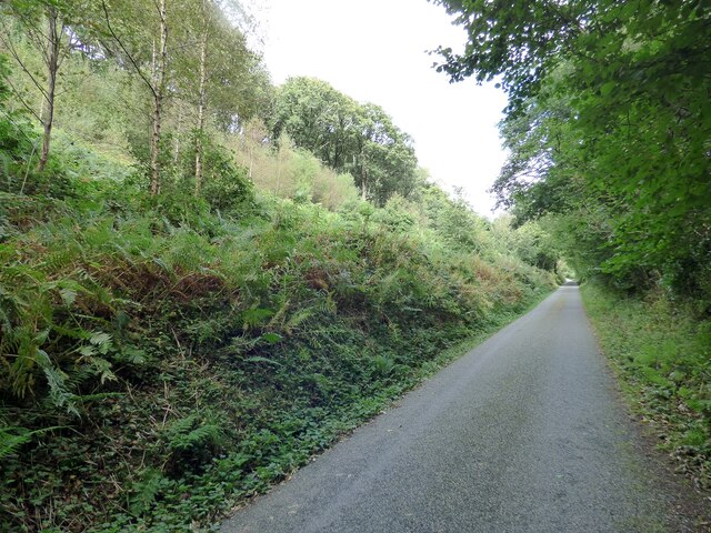
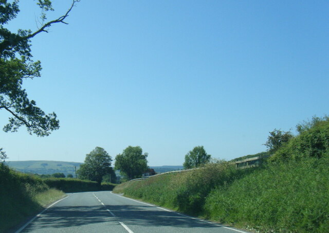
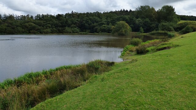
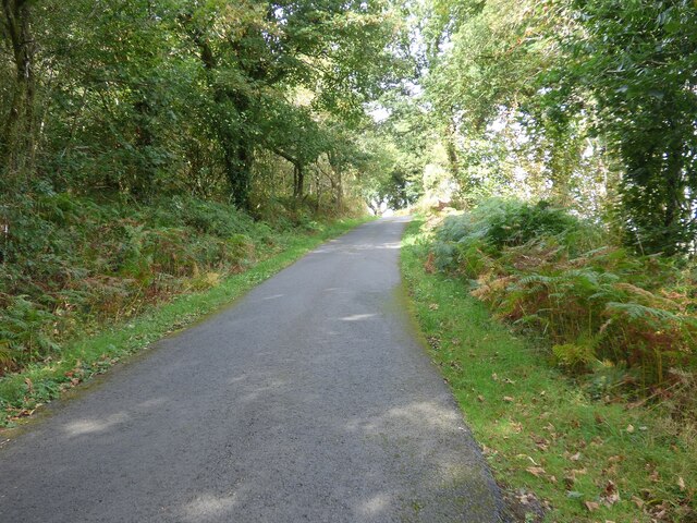
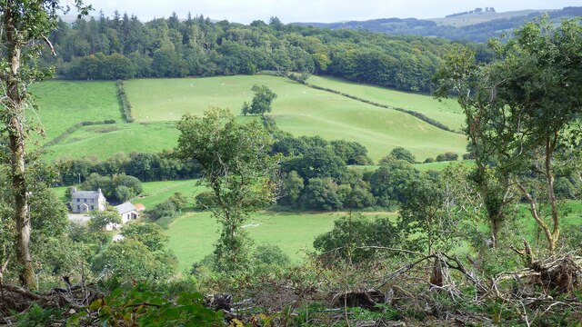
Mount Pleasant Wood is a picturesque forest located in Cardiganshire, Wales. Spanning over an area of approximately 100 acres, it is renowned for its natural beauty and diverse ecosystem. The wood is nestled in the rolling hills of the countryside, providing visitors with stunning panoramic views of the surrounding landscape.

The forest is predominantly composed of broadleaf trees, with oak, beech, and ash being the most common species. These towering trees provide a dense canopy that creates a serene and tranquil atmosphere within the wood. The forest floor is covered in a thick carpet of moss, ferns, and wildflowers, adding to its enchanting charm.

Mount Pleasant Wood is home to a wide variety of wildlife, making it a popular spot for nature enthusiasts and birdwatchers. Visitors may have the opportunity to spot red squirrels, badgers, foxes, and a diverse range of bird species, including woodpeckers, owls, and various songbirds.

The wood offers several walking trails, allowing visitors to explore its beauty at their own pace. These trails wind through the forest, taking visitors past babbling brooks, small waterfalls, and secluded picnic spots, enhancing the overall experience.

In addition to its natural splendor, Mount Pleasant Wood also holds historical significance. It is believed to have been part of an ancient woodland that has existed for centuries, providing a glimpse into the area's rich heritage.

Overall, Mount Pleasant Wood is a haven of tranquility and natural beauty, offering visitors the chance to immerse themselves in the wonders of nature while enjoying a peaceful escape from the hustle and bustle of everyday life.

If you have any feedback on the listing, please let us know in the comments section below.

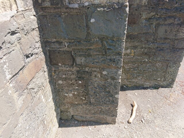
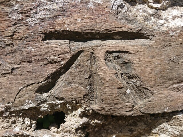
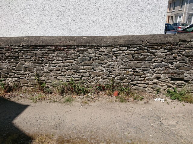
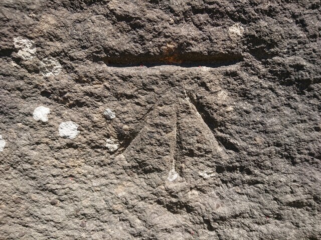
Mount Pleasant Wood Images

Images are sourced within 2km of 52.121713/-4.06853 or Grid Reference SN5849. Thanks to Geograph Open Source API. All images are credited.

Lane leading past Falcondale Lake
A485 near Dyffryn Farm
Capel yr Erw Independent Welsh Chapel, built in 1811, rebuilt in 1863 and renewed in 1933
Capel yr Erw
Independent Welsh Chapel, built in 1811, rebuilt in 1863 and renewed in 1933
Capel-yr-Erw, Cellan Welsh Independent (i.e. Congregationalist)
Capel-yr-Erw, Cellan
Welsh Independent (i.e. Congregationalist)
Capel-yr-Erw, Cellan
Road to Lampeter Bowls Club and to tennis courts, Road to sports facilities at Lampeter.
Road to Lampeter Bowls Club and to tennis courts,
Road to sports facilities at Lampeter.
Timber Lorry sheding its load Fortunately nobody was hurt.
Timber Lorry sheding its load
Fortunately nobody was hurt.
Falcondale Lake
Falcondale Lake
Looking along Bridge Street
Old Building and Medieval Motte at University of Wales Trinity Saint David's
Country Lane North of Lampeter/Llanbedr Pont Stefan
Olwen Farmstead and Fields I had hoped to get a decent photograph of Castell Olwen but sadly the trees completely obscure it from this angle.
Olwen Farmstead and Fields
I had hoped to get a decent photograph of Castell Olwen but sadly the trees completely obscure it from this angle.
Brondeifi Unitarian Chapel
Ordnance Survey Benchmark - Lampeter, St. Peter’s Church Ordnance Survey Benchmark (OSBM) used for levelling height above Ordnance Datum (OD).
Height (1972): 136.9200m OD (Newlyn). Mark verified by the Ordnance Survey in 1971. Description: TWR ST PETERS CH W FACE SW ANG. 0.5m above ground. 2nd Order BM.

Context: <a href="https://www.geograph.org.uk/photo/7506634">SN5748 : Ordnance Survey Benchmark - Lampeter, St. Peter’s Church</a>
Ordnance Survey Benchmark - Lampeter, St. Peter’s Church
Ordnance Survey Benchmark (OSBM) used for levelling height above Ordnance Datum (OD). Height (1972): 136.9200m OD (Newlyn). Mark verified by the Ordnance Survey in 1971. Description: TWR ST PETERS CH W FACE SW ANG. 0.5m above ground. 2nd Order BM. Context: SN5748 : Ordnance Survey Benchmark - Lampeter, St. Peter’s Church
Ordnance Survey Benchmark - Lampeter, St. Peter’s Church Ordnance Survey Benchmark (OSBM) used for levelling height above Ordnance Datum (OD).
Height (1972): 136.9200m OD (Newlyn). Mark verified by the Ordnance Survey in 1971. Description: TWR ST PETERS CH W FACE SW ANG. 0.5m above ground. 2nd Order BM.

Close-up: <a href="https://www.geograph.org.uk/photo/7506633">SN5748 : Ordnance Survey Benchmark - Lampeter, St. Peter’s Church</a>
Ordnance Survey Benchmark - Lampeter, St. Peter’s Church
Ordnance Survey Benchmark (OSBM) used for levelling height above Ordnance Datum (OD). Height (1972): 136.9200m OD (Newlyn). Mark verified by the Ordnance Survey in 1971. Description: TWR ST PETERS CH W FACE SW ANG. 0.5m above ground. 2nd Order BM. Close-up: SN5748 : Ordnance Survey Benchmark - Lampeter, St. Peter’s Church
Ordnance Survey Benchmark - Lampeter, Delville Ordnance Survey Benchmark (OSBM) used for levelling height above Ordnance Datum (OD).
Height: 120.8400m OD (Newlyn). Mark verified by the Ordnance Survey in 1972. Description: WALL DELVILLE 3M ANG WALL SE FACE. 0.4m above ground. 3rd Order BM.

Context: <a href="https://www.geograph.org.uk/photo/7506641">SN5747 : Ordnance Survey Benchmark - Lampeter, Delville</a>
Ordnance Survey Benchmark - Lampeter, Delville
Ordnance Survey Benchmark (OSBM) used for levelling height above Ordnance Datum (OD). Height: 120.8400m OD (Newlyn). Mark verified by the Ordnance Survey in 1972. Description: WALL DELVILLE 3M ANG WALL SE FACE. 0.4m above ground. 3rd Order BM. Context: SN5747 : Ordnance Survey Benchmark - Lampeter, Delville
Ordnance Survey Benchmark - Lampeter, Delville Ordnance Survey Benchmark (OSBM) used for levelling height above Ordnance Datum (OD).
Height: 120.8400m OD (Newlyn). Mark verified by the Ordnance Survey in 1972. Description: WALL DELVILLE 3M ANG WALL SE FACE. 0.4m above ground. 3rd Order BM.

Close-up: <a href="https://www.geograph.org.uk/photo/7506640">SN5747 : Ordnance Survey Benchmark - Lampeter, Delville</a>
Ordnance Survey Benchmark - Lampeter, Delville
Ordnance Survey Benchmark (OSBM) used for levelling height above Ordnance Datum (OD). Height: 120.8400m OD (Newlyn). Mark verified by the Ordnance Survey in 1972. Description: WALL DELVILLE 3M ANG WALL SE FACE. 0.4m above ground. 3rd Order BM. Close-up: SN5747 : Ordnance Survey Benchmark - Lampeter, Delville
Ordnance Survey Benchmark - Lampeter, Pont Stephen Ordnance Survey Benchmark (OSBM) used for levelling height above Ordnance Datum (OD).
Height: 116.588m OD (Newlyn). Mark verified by the Ordnance Survey in 1972. Description: PONT STEPHEN NE PARA SW FACE. 0.3m above ground. 3rd Order BM.

Context: <a href="https://www.geograph.org.uk/photo/7506643">SN5847 : Ordnance Survey Benchmark - Lampeter, Pont Stephen</a>
Ordnance Survey Benchmark - Lampeter, Pont Stephen
Ordnance Survey Benchmark (OSBM) used for levelling height above Ordnance Datum (OD). Height: 116.588m OD (Newlyn). Mark verified by the Ordnance Survey in 1972. Description: PONT STEPHEN NE PARA SW FACE. 0.3m above ground. 3rd Order BM. Context: SN5847 : Ordnance Survey Benchmark - Lampeter, Pont Stephen
Show me another place!

Mount Pleasant Wood is located at Grid Ref: SN5849 (Lat: 52.121713, Lng: -4.06853)

Unitary Authority: Ceredigion

Police Authority: Dyfed Powys

What 3 Words

///decking.nicknames.working. Near Lampeter, Ceredigion

Related Wikis

Lampeter railway station

Lampeter railway station, on the Carmarthen to Aberystwyth Line in Wales, was built to serve the town of Lampeter. It opened in 1866, six years after the...

Lampeter

Lampeter (; Welsh: Llanbedr Pont Steffan (formal); Llambed (colloquial)) is a town, community and electoral ward in Ceredigion, Wales, at the confluence...

Lampeter Castle

Lampeter Castle (Welsh: Castell Llanbedr), sometimes known as Stephen's Castle, was built during the Norman expansion into Wales at the end of the eleventh...

University of Wales, Lampeter

University of Wales, Lampeter (Welsh: Prifysgol Cymru, Llanbedr Pont Steffan) was a university in Lampeter, Wales. Founded in 1822, and incorporated by...

A485 road

The A485 is an A road linking Tanerdy near Carmarthen to Llanfarian near Aberystwyth in Wales. Settlements along the route include: Tanerdy Peniel Rhydargaeau...

Roderic Bowen Library and Archive

The Roderic Bowen Library and Archives (or RBLA), housing university archives and special collections, is located inside the library building of the University...

St Peter's Church, Lampeter

St Peter's Church, Lampeter, is the Church in Wales parish church for the University town of Lampeter. It is a Grade II listed building, and has been described...

Harford Fountain

Harford Fountain, is a 19th-century grade II listed fountain in Harford Square, in Lampeter, Ceredigion. == History == The Fountain was built in 1862,...

Nearby Amenities

Located within 500m of 52.121713,-4.06853
The data included in this document is from www.openstreetmap.org. The data is made available under ODbL.

Have you been to Mount Pleasant Wood?

Leave your review of Mount Pleasant Wood below (or comments, questions and feedback).