Allt Penybanc

Wood, Forest in Carmarthenshire

Wales

Allt Penybanc

Llwyncelyn, Abergorlech Adfail o dy o'r enw Llwyncelyn yn Abergorlech / A ruined house known as Llwyncelyn (trans. 'hollybush') near Abergorlech
Llwyncelyn, Abergorlech Credit: Alan Richards

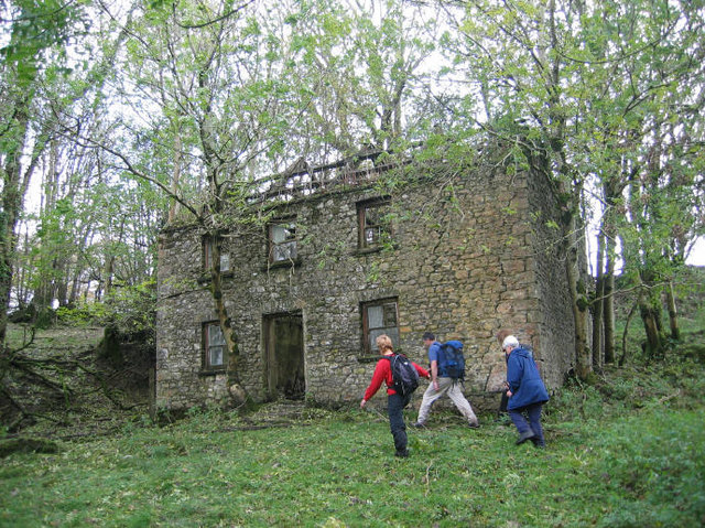
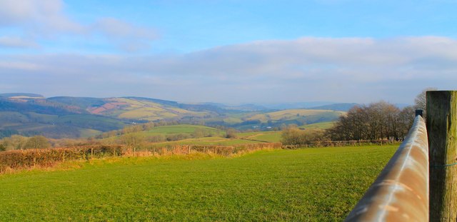
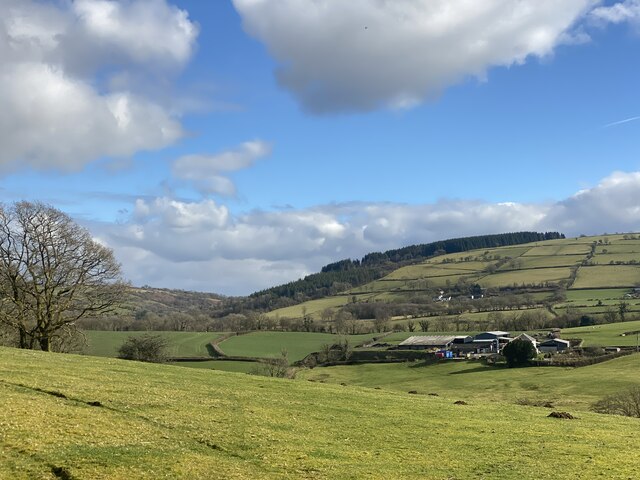
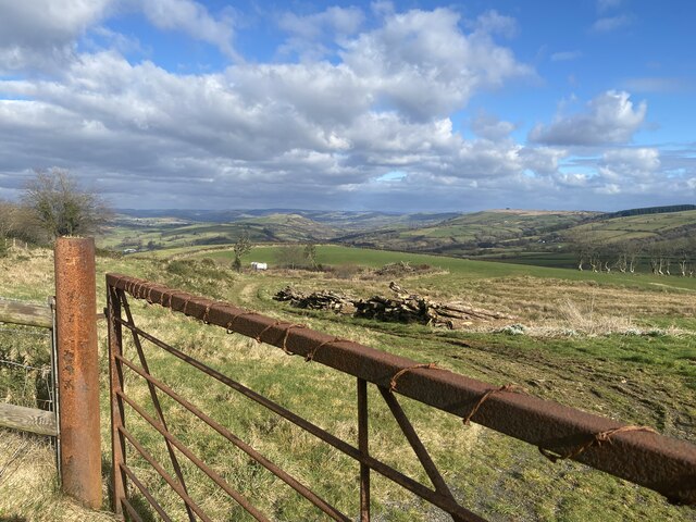
Allt Penybanc is a picturesque woodland area located in Carmarthenshire, Wales. Covering an extensive area, it is a prominent feature of the local landscape and is known for its natural beauty and rich biodiversity.

The woodland is characterized by a mixture of broadleaf and coniferous trees, creating a diverse habitat for a wide range of flora and fauna. Oak, beech, and ash trees dominate the area, providing a lush canopy that offers shade and shelter to various species. The forest floor is adorned with a colorful array of wildflowers, including bluebells and primroses, adding to the enchanting atmosphere.

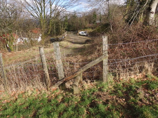
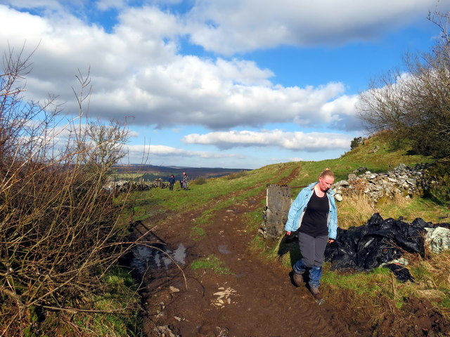
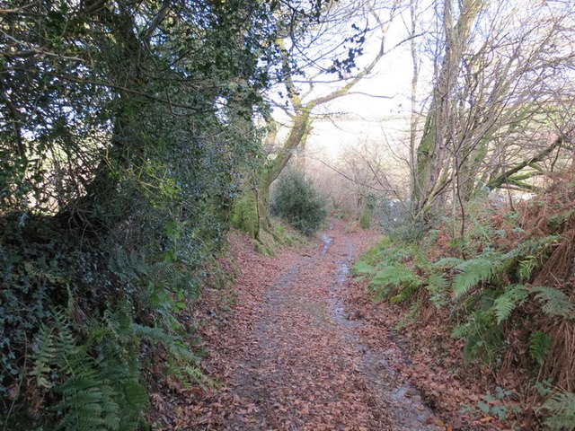
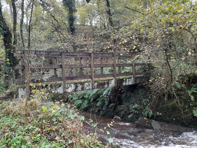
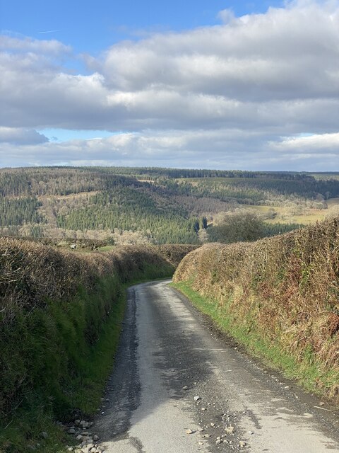
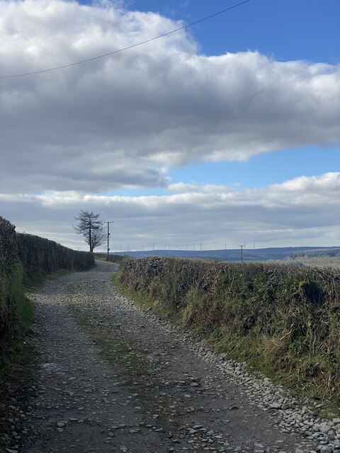
The woodland is crisscrossed by a network of well-maintained footpaths, allowing visitors to explore the area and immerse themselves in its tranquil surroundings. These paths lead to hidden clearings, babbling streams, and small waterfalls, creating a sense of discovery and adventure.

Allt Penybanc is home to a diverse range of wildlife, including birds such as woodpeckers, buzzards, and owls. Squirrels, foxes, and badgers can also be spotted in the woodland, adding to the sense of natural wonder.

The area is a popular destination for nature lovers, hikers, and photographers, who come to capture the beauty of the woodland throughout the seasons. Whether it be the vibrant colors of autumn or the fresh greens of spring, Allt Penybanc never fails to captivate visitors with its breathtaking scenery.

Overall, Allt Penybanc is a captivating woodland that showcases the natural beauty and diversity of Carmarthenshire. Its tranquil atmosphere, enchanting trails, and abundant wildlife make it a must-visit destination for anyone seeking solace in nature.

If you have any feedback on the listing, please let us know in the comments section below.

Allt Penybanc Images

Images are sourced within 2km of 51.964161/-4.061484 or Grid Reference SN5831. Thanks to Geograph Open Source API. All images are credited.

Llwyncelyn, Abergorlech Adfail o dy o'r enw Llwyncelyn yn Abergorlech / A ruined house known as Llwyncelyn (trans. 'hollybush') near Abergorlech
Llwyncelyn, Abergorlech
Adfail o dy o'r enw Llwyncelyn yn Abergorlech / A ruined house known as Llwyncelyn (trans. 'hollybush') near Abergorlech
Mynydd Figyn 7th HuMP of the day with Phil Cooper.

Name:Mynydd Figyn
Hill number:2220
Height:328m / 1076ft
Area:31C: South-West Wales
Class:Hu,sMa
Grid ref:SN 59594 30780
Summit feature:no feature: by fence at edge of field above road
Drop:140m
Col:188m SN608316
Mynydd Figyn
7th HuMP of the day with Phil Cooper. Name:Mynydd Figyn Hill number:2220 Height:328m / 1076ft Area:31C: South-West Wales Class:Hu,sMa Grid ref:SN 59594 30780 Summit feature:no feature: by fence at edge of field above road Drop:140m Col:188m SN608316
Sticil Clawddowen Stile, Llanfynydd Sticil wael ger Ffarm Clawddowen, Llanfynydd / A poor stile near Clawddowen Farm, Llanfynydd
Sticil Clawddowen Stile, Llanfynydd
Sticil wael ger Ffarm Clawddowen, Llanfynydd / A poor stile near Clawddowen Farm, Llanfynydd
Tuag at / Towards Penygarn Cerddwyr yn dilyn llwybr cyhoeddus i'r heol ym Mhenygarn.

Walkers following a footpath towards the road at Penygarn (trans. top of the cairn)
Tuag at / Towards Penygarn
Cerddwyr yn dilyn llwybr cyhoeddus i'r heol ym Mhenygarn. Walkers following a footpath towards the road at Penygarn (trans. top of the cairn)
Mynydd Figyn Cerddwyr yn croesi fens ar lwybr cyhoeddus wedi ei esguleuso er cael mynediad i Fynydd Figyn.  

Walkers crossing a fence on a neglected public footpath to access Mynydd Figyn.
Mynydd Figyn
Cerddwyr yn croesi fens ar lwybr cyhoeddus wedi ei esguleuso er cael mynediad i Fynydd Figyn. Walkers crossing a fence on a neglected public footpath to access Mynydd Figyn.
View East from above Trebwl View towards Llansawel...
View East from above Trebwl
View towards Llansawel...
Hen Heol Marchoglwyn Uchaf Old Road Hen heol ger Marchoglwyn Uchaf yn arwain i lawr y waered i gyfeiriad Nant Ffrainc a Ffarm Blaenwaun. 

Old road near Marchoglwyn Uchaf Farm descending the hill towards Nant Ffrainc Stream and Blaenwaun Farm
Hen Heol Marchoglwyn Uchaf Old Road
Hen heol ger Marchoglwyn Uchaf yn arwain i lawr y waered i gyfeiriad Nant Ffrainc a Ffarm Blaenwaun. Old road near Marchoglwyn Uchaf Farm descending the hill towards Nant Ffrainc Stream and Blaenwaun Farm
Llwybr uwchben Nant Ffrainc / Path above Nant Ffrainc Llwybr cyhoeddus yn mynd i lawr y waered i gyfeiriad Nant Ffrainc.

A public footpath descending towards Nant Ffrainc (trans. Ffrainc stream)
Llwybr uwchben Nant Ffrainc / Path above Nant Ffrainc
Llwybr cyhoeddus yn mynd i lawr y waered i gyfeiriad Nant Ffrainc. A public footpath descending towards Nant Ffrainc (trans. Ffrainc stream)
Churn Stand
Churn Stand
Churn Stand
Churn Stand
Foot Bridge
Foot Bridge
Ordnance Survey Cut Mark This OS cut mark can be found on the gatepost NW side of the road. It marks a point 290.278m above mean sea level.
Ordnance Survey Cut Mark
This OS cut mark can be found on the gatepost NW side of the road. It marks a point 290.278m above mean sea level.
Carmarthenshire countryside Beili Bedw farm.
Carmarthenshire countryside
Beili Bedw farm.
Country lane Lane leading to Abergorlech.
Country lane
Lane leading to Abergorlech.
Track towards Blaen Nant y Garn
Rusty gate - Pen y Garn
Milk collection point
Diverging tracks Leading towards the Ponderosa Ranch.
Diverging tracks
Leading towards the Ponderosa Ranch.
Show me another place!

Allt Penybanc is located at Grid Ref: SN5831 (Lat: 51.964161, Lng: -4.061484)

Unitary Authority: Carmarthenshire

Police Authority: Dyfed Powys

What 3 Words

///imitate.hillside.gladiator. Near Llanfynydd, Carmarthenshire

Nearby Locations

Allt Penybanc

Related Wikis

Abergorlech

Abergorlech is a village 8 miles (13 km) to the north-west of Llandeilo in Carmarthenshire, Wales. It lies on the River Cothi on the B4310 road, between...

Carmarthen East and Dinefwr (Senedd constituency)

Carmarthen East and Dinefwr (Welsh: Dwyrain Caerfyrddin a Dinefwr) is a constituency of the Senedd. It elects one Member of the Senedd by the first past...

Carmarthen East and Dinefwr (UK Parliament constituency)

Carmarthen East and Dinefwr (Welsh: Dwyrain Caerfyrddin a Dinefwr) is a constituency of the House of Commons of the Parliament of the United Kingdom represented...

Llanfihangel Rhos-y-Corn

Llanfihangel Rhos-y-Corn is a sparsely populated community of Carmarthenshire, Wales. The population of the community taken at the 2011 census was 468...

Nearby Amenities

Located within 500m of 51.964161,-4.061484
Ford: yes
Lat/Long: 51.968101/-4.0585432
The data included in this document is from www.openstreetmap.org. The data is made available under ODbL.

Have you been to Allt Penybanc?

Leave your review of Allt Penybanc below (or comments, questions and feedback).