Burnhill Green
Settlement in Staffordshire South Staffordshire
England
Burnhill Green
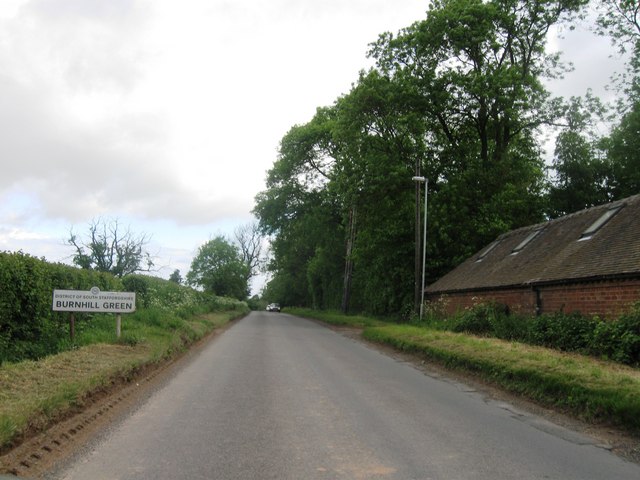
Burnhill Green is a small village located in the county of Staffordshire, England. Situated approximately 10 miles southwest of Stafford, the village is nestled amidst picturesque countryside, offering a tranquil and scenic setting for its residents.
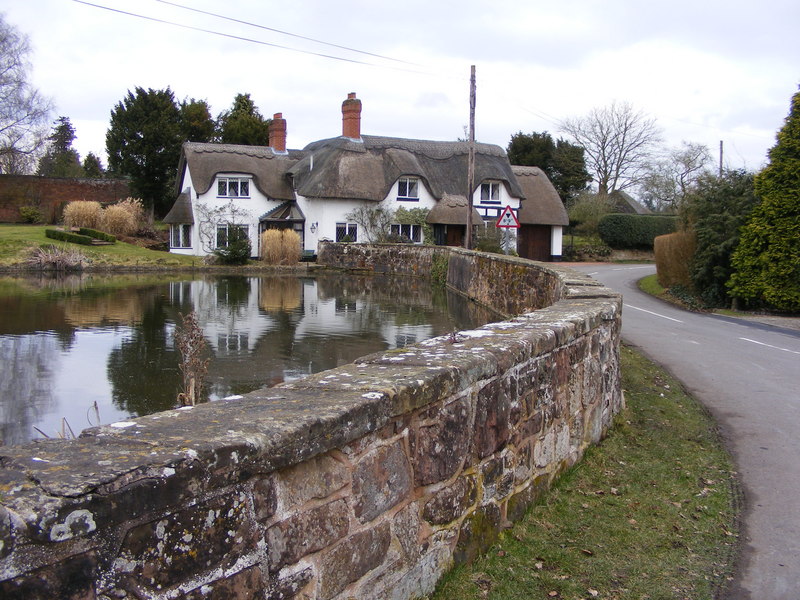
The village is primarily residential, with a population of around 500 people. The architecture in Burnhill Green is predominantly traditional, with charming cottages and houses dotting the landscape. The village maintains its rural character, with open fields and farmland surrounding the area.
Despite its small size, Burnhill Green boasts a strong sense of community. The villagers often come together for various events and activities, fostering a friendly and welcoming atmosphere. The village hall serves as a hub for community gatherings and social events.
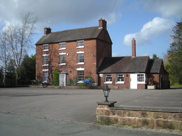
For amenities, Burnhill Green has a local pub that acts as a meeting place for residents and visitors alike. Additionally, there are a few small businesses, including a convenience store and a post office, providing basic services to the community.
The village is well-connected to the surrounding areas by road, with easy access to the A518 and A519. This allows residents to easily commute to nearby towns and cities for work or leisure activities.
Overall, Burnhill Green is a peaceful and idyllic village, offering a serene countryside lifestyle while still providing access to essential amenities and connections to the wider region.
If you have any feedback on the listing, please let us know in the comments section below.
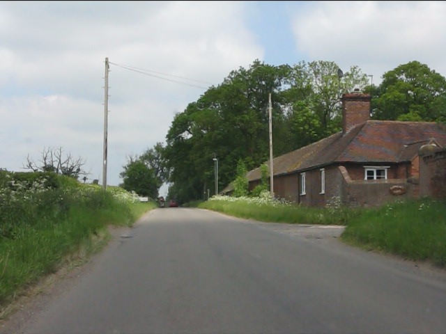
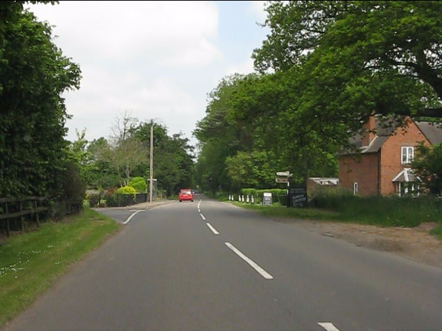
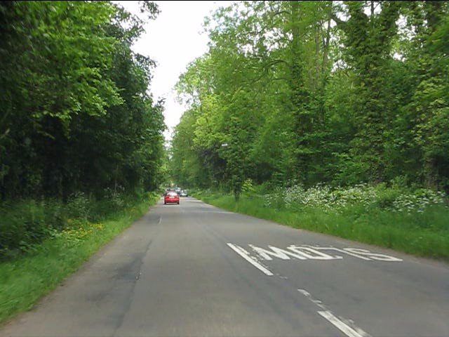
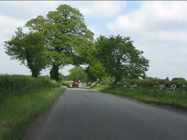
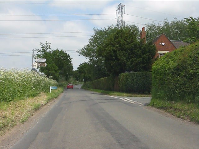
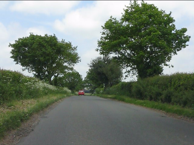
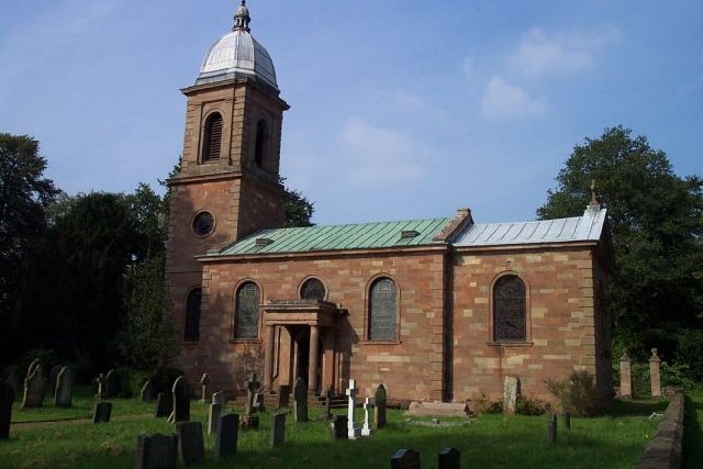
Burnhill Green Images
Images are sourced within 2km of 52.603554/-2.313446 or Grid Reference SJ7800. Thanks to Geograph Open Source API. All images are credited.

Burnhill Green is located at Grid Ref: SJ7800 (Lat: 52.603554, Lng: -2.313446)
Administrative County: Staffordshire
District: South Staffordshire
Police Authority: Staffordshire
What 3 Words
///rebounded.product.verbs. Near Ryton, Shropshire
Nearby Locations
Related Wikis

Burnhill Green
Burnhill Green is a small hamlet near Pattingham, situated in Staffordshire, England, in the former parish of Patshull. The hamlet is on the edge of the...

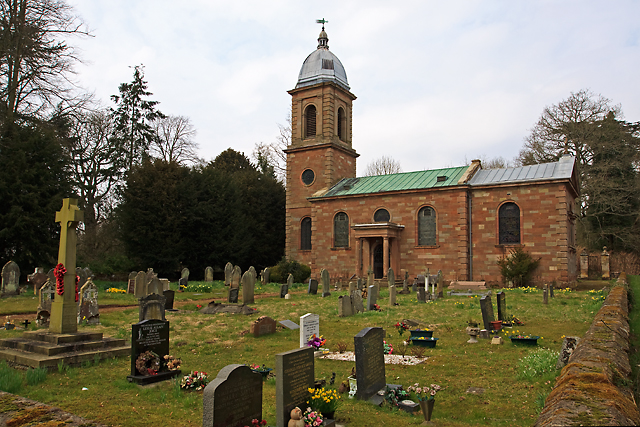
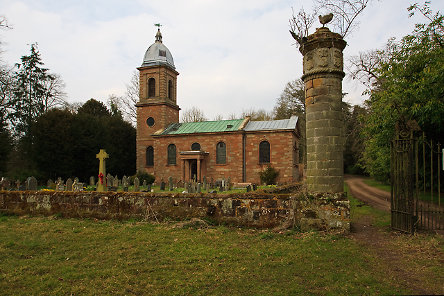
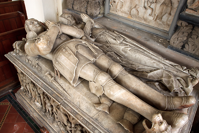
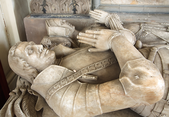
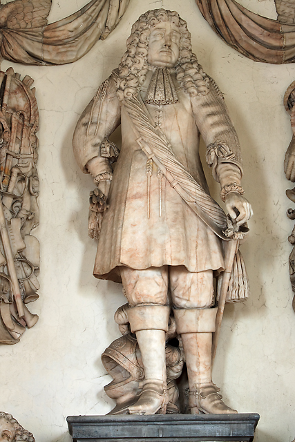
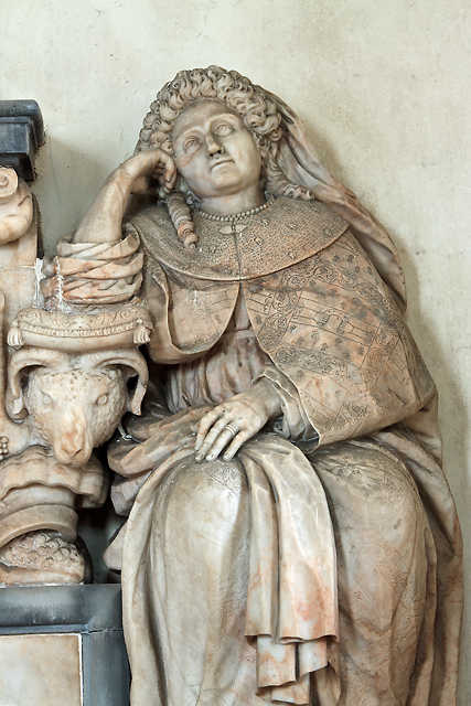
St Mary's Church, Patshull
St Mary's Church, Patshull, is a redundant Anglican church in the parish of Pattingham and Patshull, Staffordshire, England, and is situated near Patshull...
Patshull
Patshull is a former civil parish, now in the parish of Pattingham and Patshull, in the South Staffordshire district, in the county of Staffordshire, England...

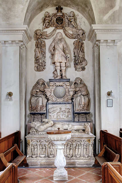
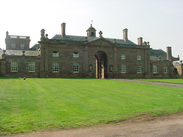
Patshull Hall
Patshull Hall is a substantial Georgian mansion house situated near Pattingham in Staffordshire, England. It is a Grade I listed building and by repute...
Badger, Shropshire
Badger is a village and civil parish in Shropshire, England, about six miles north-east of Bridgnorth. The parish had a population of 134 according to...

Caynton Caves
The Caynton Caves are a series of man-made underground chambers in the grounds of Caynton Hall, near Beckbury, Shropshire, England. Their original purpose...

Beckbury
Beckbury is a village and civil parish in Shropshire, England. Beckbury had a population of 327 according to the 2001 census, increasing to 340 at the...
Ackleton
Ackleton is a village in the English county of Shropshire. It is in the civil parish of Worfield. Situated some seven miles (11 kilometers) from the market...
Nearby Amenities
Located within 500m of 52.603554,-2.313446Have you been to Burnhill Green?
Leave your review of Burnhill Green below (or comments, questions and feedback).