Burnhope
Settlement in Durham
England
Burnhope

Burnhope is a small village located in County Durham, in the northeast of England. Situated approximately 8 miles northwest of Durham city, Burnhope is nestled in the scenic countryside of the North Pennines, an Area of Outstanding Natural Beauty.
The village is primarily residential, with a population of around 1,000 residents. The landscape surrounding Burnhope is characterized by rolling hills, lush green fields, and picturesque views. The region's history is evident in the village, with several traditional stone-built cottages and farmhouses dotting the area.
Despite its relatively small size, Burnhope offers a range of amenities for its residents. These include a primary school, a community center, a village hall, a post office, and a convenience store. The village also boasts a charming pub, providing a focal point for social gatherings and a taste of local hospitality.
Outdoor enthusiasts are drawn to Burnhope for its proximity to nature. The North Pennines offers numerous opportunities for walking, hiking, and cycling, with trails that take visitors through stunning landscapes and past historic landmarks. The village is also within easy reach of the famous Durham Dales, where visitors can explore picturesque dales, rivers, and waterfalls.
Overall, Burnhope is a tranquil and close-knit community, offering a peaceful and idyllic lifestyle amidst the breathtaking beauty of the Durham countryside.
If you have any feedback on the listing, please let us know in the comments section below.
Burnhope Images
Images are sourced within 2km of 54.827148/-1.713245 or Grid Reference NZ1848. Thanks to Geograph Open Source API. All images are credited.


Burnhope is located at Grid Ref: NZ1848 (Lat: 54.827148, Lng: -1.713245)
Unitary Authority: County Durham
Police Authority: Durham
What 3 Words
///residual.tiredness.chosen. Near Lanchester, Co. Durham
Nearby Locations
Related Wikis
Burnhope
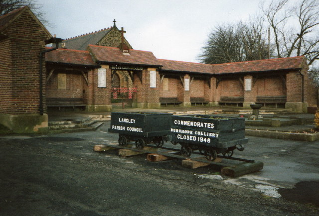
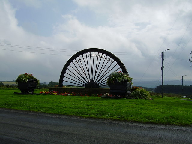
Burnhope is a village and civil parish in County Durham, England. It is located in the Craghead valley on the opposite side to Stanley and has 1,564 inhabitants...
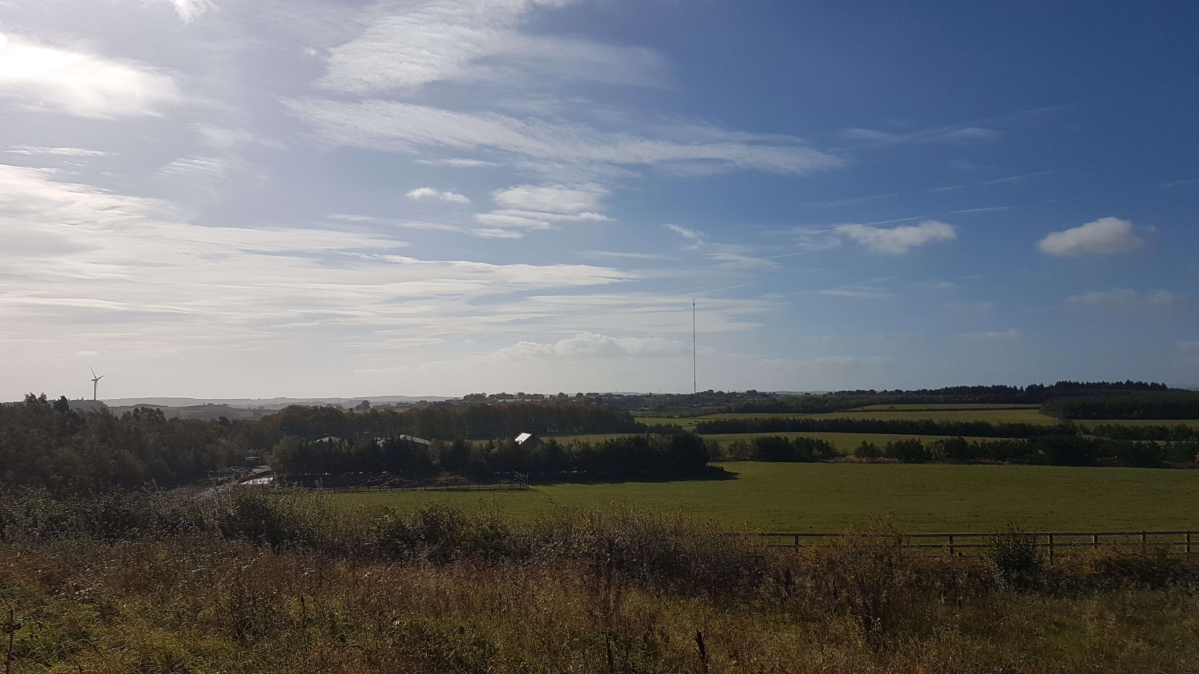
Burnhope transmitting station
The Burnhope transmitting station is a television transmitter in the north of England. == History == === Construction === It was originally built by BICC...

Maiden Law
Maiden Law is a small village in County Durham, England. It is situated to the north of Lanchester, on the road to Annfield Plain. == References ==

Lanchester, County Durham
Lanchester is a village and civil parish in County Durham, England, 8 miles (13 km) west of Durham and 5 miles (8 km) from Consett. It had a population...
Ornsby Hill
Ornsby Hill is a village in County Durham, in England. Ornsby Hill is situated immediately to the north of Lanchester at the junction of the A691 and A6076...
St Bede's Catholic School and Sixth Form College
St Bede's Catholic School and Sixth Form College is a coeducational secondary school and sixth form with academy status, located in Lanchester, County...

Lanchester railway station
Lanchester railway station served the village of Lanchester, County Durham, England from 1862 to 1965 on the Lanchester Valley Line. == History == The...
Holmside Hall
Holmside Hall is an early 19th-century farmhouse and equestrian centre at Holmside, Burnhope, County Durham, England. The farm is built on the site of...
Nearby Amenities
Located within 500m of 54.827148,-1.713245Have you been to Burnhope?
Leave your review of Burnhope below (or comments, questions and feedback).