Coed y Clegyr

Wood, Forest in Caernarfonshire

Wales

Coed y Clegyr

WWII Defences of North Wales: Lake View Hotel, Llanberis -
Minefield: EDoB ID: e46184 

Concrete landmine sockets in the old road surface in the car park of the Lake View Hotel. I got some curious looks from patrons of the hotel photographing these!
WWII Defences of North Wales: Lake View Hotel, Llanberis Credit: Mike Searle

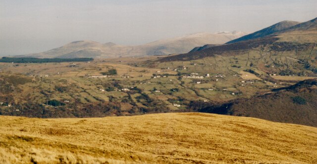
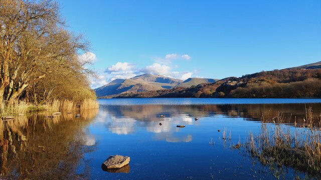
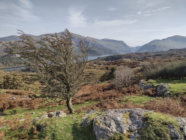
Coed y Clegyr, located in Caernarfonshire, Wales, is a picturesque forest nestled in the Snowdonia National Park. Spread across an area of approximately 2,500 acres, it encompasses a diverse range of habitats, making it one of the most biodiverse forests in the region.

The forest comprises a mix of native woodland, including oak, birch, and ash trees, as well as coniferous plantations of pine and spruce. This combination of tree species provides a rich and varied ecosystem, supporting a wide array of flora and fauna. Coed y Clegyr is home to numerous bird species, such as buzzards, woodpeckers, and red kites, making it a popular spot for birdwatchers.

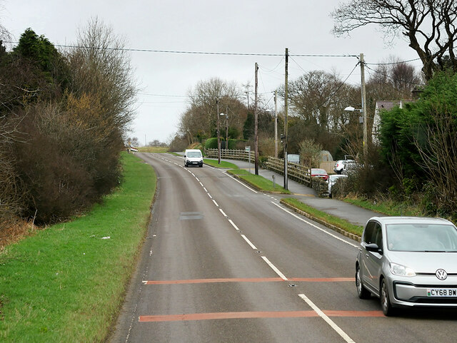
The forest is crisscrossed by a network of well-maintained trails, making it an ideal destination for outdoor enthusiasts. Hikers and walkers can explore the forest on foot, enjoying the tranquility and beauty of the surroundings. There are also designated mountain biking trails, catering to thrill-seekers looking for an adrenaline rush amidst nature.

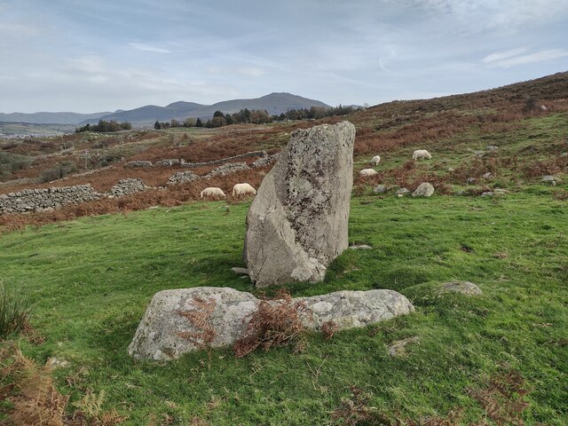
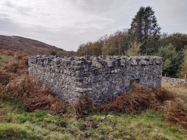
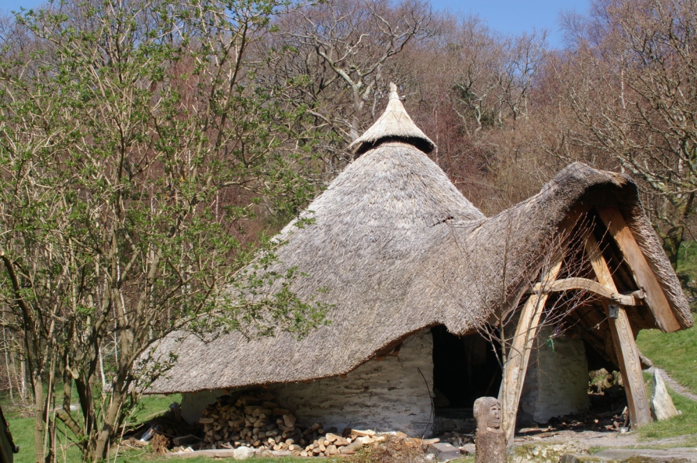
Coed y Clegyr offers more than just natural beauty. The forest has a rich cultural and historical significance, with ancient ruins of a medieval church and Celtic crosses that date back centuries. These historical remnants add an air of mystique and intrigue to the forest, attracting history enthusiasts and those interested in the region's heritage.

Overall, Coed y Clegyr is a captivating woodland, offering a perfect blend of natural splendor, recreational activities, and historical intrigue. It is a must-visit destination for nature lovers and adventurers exploring Caernarfonshire.

If you have any feedback on the listing, please let us know in the comments section below.

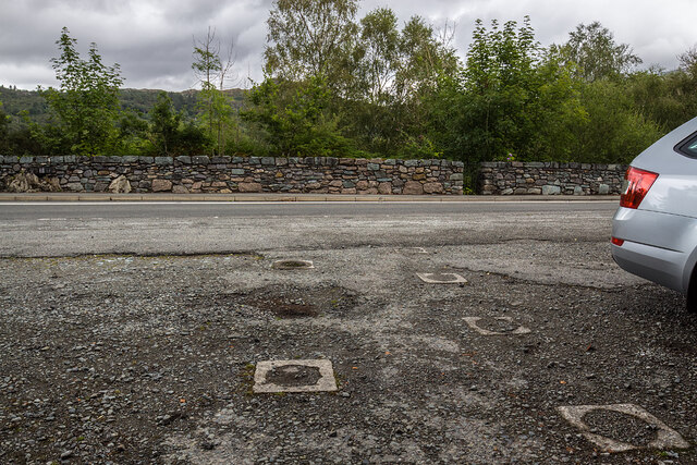
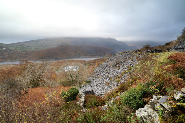
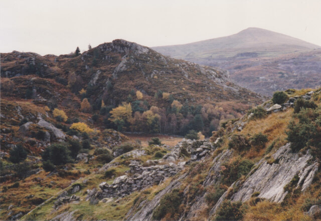
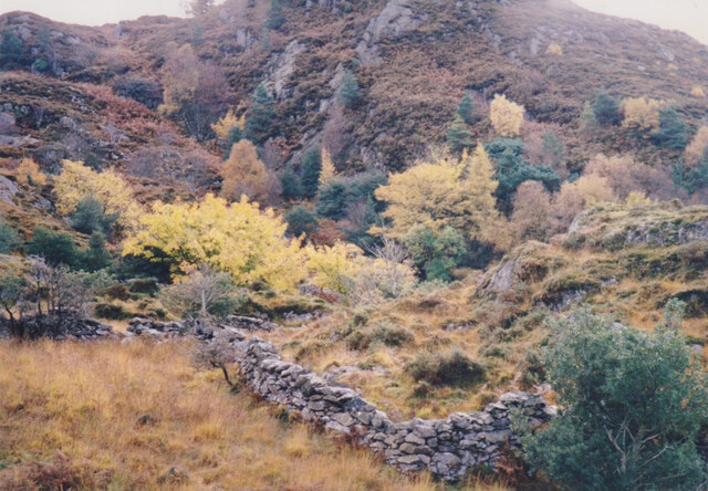
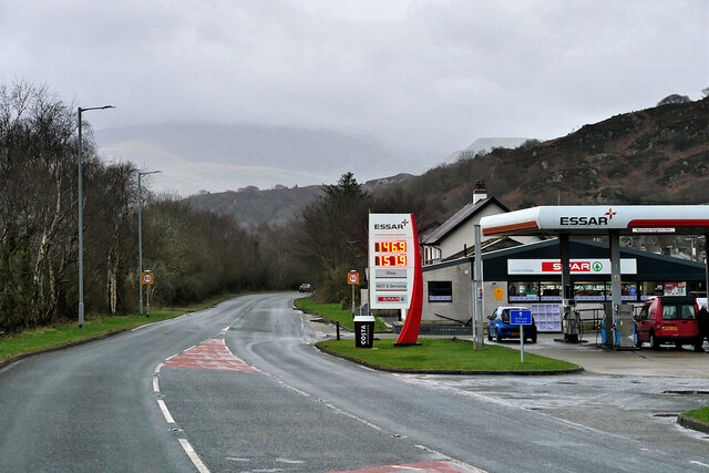
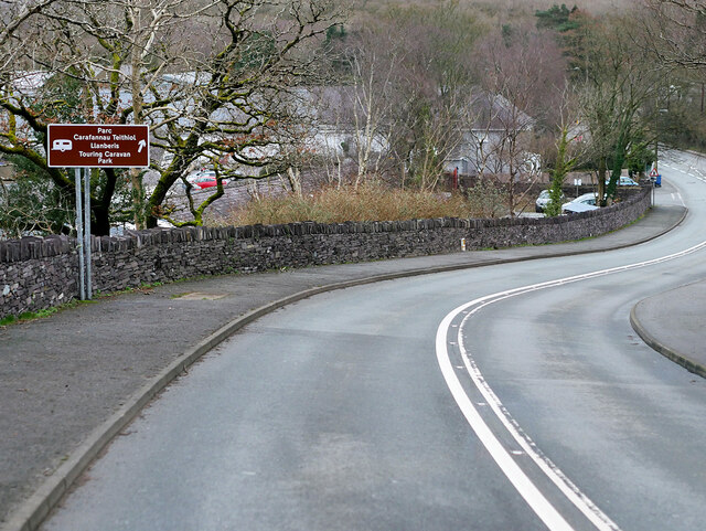
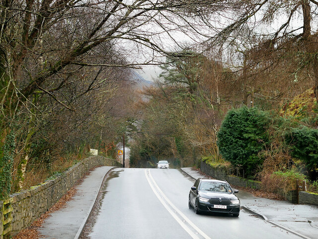
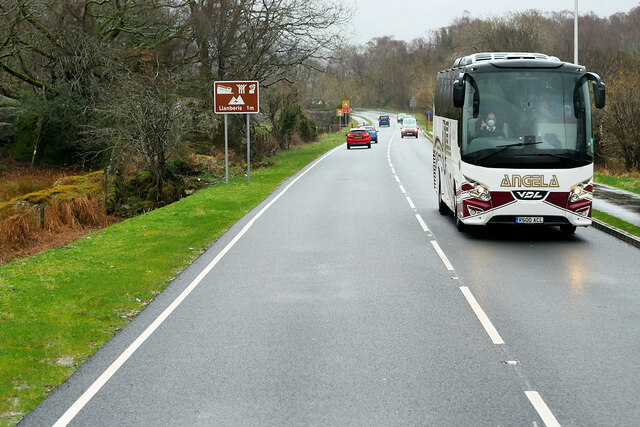
Coed y Clegyr Images

Images are sourced within 2km of 53.136797/-4.1454496 or Grid Reference SH5662. Thanks to Geograph Open Source API. All images are credited.

WWII Defences of North Wales: Lake View Hotel, Llanberis -
Minefield: EDoB ID: e46184 

Concrete landmine sockets in the old road surface in the car park of the Lake View Hotel. I got some curious looks from patrons of the hotel photographing these!
WWII Defences of North Wales: Lake View Hotel, Llanberis
- Minefield: EDoB ID: e46184 Concrete landmine sockets in the old road surface in the car park of the Lake View Hotel. I got some curious looks from patrons of the hotel photographing these!
Slate tip above Afon Glyn Various public footpaths are marked above the minor road from Llanberis to Llanrug which lies among old slate quarries well above the main road. Their advantage lies in the slight possibility of finding somewhere to park without requiring a second mortgage, but their disadvantage is that signage indicates a strong desire by "the authorities" that you don't use them. This one seems to alternate between being easy to follow and being totally opaque and overgrown, but the correct route lies over a stile with a fierce "Keep out" sign which has to be ignored. Looking east from about that point, we are level with a horizon of waste slate above the Afon Glyn, with views just about discernible across Llyn Padarn to even bigger slate workings below Elidir Fach (whose summit is lost in the cloud).
Slate tip above Afon Glyn
Various public footpaths are marked above the minor road from Llanberis to Llanrug which lies among old slate quarries well above the main road. Their advantage lies in the slight possibility of finding somewhere to park without requiring a second mortgage, but their disadvantage is that signage indicates a strong desire by "the authorities" that you don't use them. This one seems to alternate between being easy to follow and being totally opaque and overgrown, but the correct route lies over a stile with a fierce "Keep out" sign which has to be ignored. Looking east from about that point, we are level with a horizon of waste slate above the Afon Glyn, with views just about discernible across Llyn Padarn to even bigger slate workings below Elidir Fach (whose summit is lost in the cloud).
Craig Llew from the Clegyr Path These are some of the oldest rocks in Wales. Moel Eilio forms the background.
Craig Llew from the Clegyr Path
These are some of the oldest rocks in Wales. Moel Eilio forms the background.
Wooded wetland below Craig Llew The walls are  the work of early 18thC quarrymen-farmers who carved small holdings from the wastes. This dual economy remained a feature of the slate quarrying districts of Caernarvonshire until the 1960s/
Wooded wetland below Craig Llew
The walls are the work of early 18thC quarrymen-farmers who carved small holdings from the wastes. This dual economy remained a feature of the slate quarrying districts of Caernarvonshire until the 1960s/
London Garage, Maes Gerddi The A4086 runs for almost 18 miles between Caernarfon and Capel Curig. It is a popular tourist route as it passes through some of the most memorable and famous parts of Snowdonia including the Llanberis Pass.
London Garage, Maes Gerddi
The A4086 runs for almost 18 miles between Caernarfon and Capel Curig. It is a popular tourist route as it passes through some of the most memorable and famous parts of Snowdonia including the Llanberis Pass.
A4086 near Llanberis The A4086 runs for almost 18 miles between Caernarfon and Capel Curig. It is a popular tourist route as it passes through some of the most memorable and famous parts of Snowdonia including the Llanberis Pass.
A4086 near Llanberis
The A4086 runs for almost 18 miles between Caernarfon and Capel Curig. It is a popular tourist route as it passes through some of the most memorable and famous parts of Snowdonia including the Llanberis Pass.
A4086 towards Llanberis The A4086 runs for almost 18 miles between Caernarfon and Capel Curig. It is a popular tourist route as it passes through some of the most memorable and famous parts of Snowdonia including the Llanberis Pass.
A4086 towards Llanberis
The A4086 runs for almost 18 miles between Caernarfon and Capel Curig. It is a popular tourist route as it passes through some of the most memorable and famous parts of Snowdonia including the Llanberis Pass.
Angela's Coach near Llanberis Angela Coaches' VDL Futura coach (R600 ACL) on the A4086 road about one mile outside Llanberis.
Angela's Coach near Llanberis
Angela Coaches' VDL Futura coach (R600 ACL) on the A4086 road about one mile outside Llanberis.
A4244 near Bryn Derw The A4244 is a relatively short (6½ miles) rural A-road in north Caernarfonshire. It connects the A5/A55 (near the Llys-y-gwynt junction) with the A4086 at Brynrefail, just outside Llanberis.
A4244 near Bryn Derw
The A4244 is a relatively short (6½ miles) rural A-road in north Caernarfonshire. It connects the A5/A55 (near the Llys-y-gwynt junction) with the A4086 at Brynrefail, just outside Llanberis.
Pentref Dinorwig o lethrau Moel Eilian/ The village of Dinorwig from the slopes of Moel Eilian Dinorwig was the highest quarrying village in the Seiont Valley.
Pentref Dinorwig o lethrau Moel Eilian/ The village of Dinorwig from the slopes of Moel Eilian
Dinorwig was the highest quarrying village in the Seiont Valley.
Llyn Padarn and the Snowdon Massif April evening sunshine on Llyn Padarn and the Snowdon Massif.  
Taken from Pont Pen-y-llyn at the northwestern end of Llyn Padarn; looking along the lake towards Llanberis.
Llyn Padarn and the Snowdon Massif
April evening sunshine on Llyn Padarn and the Snowdon Massif. Taken from Pont Pen-y-llyn at the northwestern end of Llyn Padarn; looking along the lake towards Llanberis.
Below Pen-y-bwlch
Below Pen-y-bwlch
Parc-y-Gleision Standing Stone
Covered Reservoir, Parc-y-Gleision
Llyn Padarn shoreline Looking northwestwards into the greyness.
Llyn Padarn shoreline
Looking northwestwards into the greyness.
Footbridge
Footbridge
Glynrhonwy Uchaf
Glynrhonwy Uchaf
Old Road Part of the old A.4086 now bypassed near to Llanberis, Gwynedd.
Old Road
Part of the old A.4086 now bypassed near to Llanberis, Gwynedd.
Show me another place!

Coed y Clegyr is located at Grid Ref: SH5662 (Lat: 53.136797, Lng: -4.1454496)

Unitary Authority: Gwynedd

Police Authority: North Wales

What 3 Words

///cities.march.replayed. Near Deiniolen, Gwynedd

Related Wikis

Penllyn railway station (Wales)

Penllyn (LLR) railway station is the northern terminus of the Llanberis Lake Railway (LLR), located near Llanberis, Gwynedd, Wales. The station has no...

Brynrefail, Gwynedd

Brynrefail () is a small village in Gwynedd, Wales which straddles the A4244 road roughly between Deiniolen and Llanberis. The village is in the Arfon...

Cwm-y-Glo railway station

Cwm-y-Glo railway station served the village of Cwm-y-glo, Gwynedd, Wales, at the north-west end of Llyn Padarn. The station was closed for regular passenger...

Cei Llydan railway station

Cei Llydan is an intermediate railway station on the Llanberis Lake Railway (LLR), located in Llanberis, Gwynedd, Wales.Most of the LLR was laid around...

Clwt-y-bont

Clwt-y-bont is a village in Gwynedd, Wales, lying just to the south of Deiniolen. The two villages form one urban unit. Both were built in the early 19th...

Cae Mabon

Cae Mabon is a retreat centre in North Wales, set in an oak forest close to the disused Dinorwic Quarry and on the opposite side of the Padarn lake from...

Bangor University Boat Club

Bangor University Boat Club(BUBC) is the rowing club of Bangor University run for and by the university's students. The club's home water is Llyn Padarn...

Cwm-y-glo

Cwm-y-glo is a small village in Wales, 4+1⁄2 miles (7 km) east of Caernarfon, between Llanberis and Llanrug. It is in the Arfon Parliamentary constituency...

Nearby Amenities

Located within 500m of 53.136797,-4.1454496
Source: npe
Lat/Long: 53.1328539/-4.1478652
Source: npe
Lat/Long: 53.1354951/-4.1514738
Source: npe
Lat/Long: 53.1359587/-4.1517094
Source: npe
Lat/Long: 53.1366736/-4.1523101
Source: npe
Lat/Long: 53.136784/-4.148941
Source: npe
Lat/Long: 53.1341092/-4.1432617
Penllyn
Description: There are no platforms & currently passengers are not permitted to disembark the train.
Platforms: 0
Public Transport: station
Railway: station
Usage: tourism
Wikidata: Q28197592
Wikipedia: en:Penllyn railway station (Wales)
Lat/Long: 53.1370988/-4.149559
Railway: switch
Lat/Long: 53.1367626/-4.1488047
Railway: switch
Lat/Long: 53.1372269/-4.1500008
Barrier: kissing_gate
Source: survey;gps
Lat/Long: 53.140368/-4.1420661
Historic: memorial
Note: Memorial to founding meeting of Quarry Union
Url: http://www.hiraeth.wales/2015/03/12/craig-yr-undeb-snowdonias-trades-union-place-of-pilgrimage/
Lat/Long: 53.1366639/-4.1525069
Source: npe
Lat/Long: 53.1343118/-4.1505312
Source: npe
Lat/Long: 53.134101/-4.1499867
Tourism: viewpoint
Lat/Long: 53.1369866/-4.1381127
Abandoned Railway: level_crossing
Lat/Long: 53.138379/-4.1522406
Railway: buffer_stop
Lat/Long: 53.1373058/-4.1502087
Bench
Source: survey;gps
Lat/Long: 53.1334611/-4.149254
Graig Yr Undeb
Board Type: history
Information: board
Tourism: information
Lat/Long: 53.1366794/-4.1525209
The data included in this document is from www.openstreetmap.org. The data is made available under ODbL.

Have you been to Coed y Clegyr?

Leave your review of Coed y Clegyr below (or comments, questions and feedback).