Llwyn-cogau

Downs, Moorland in Caernarfonshire

Wales

Llwyn-cogau

Old Milestone by A4086, Llyn Padarn, north end near Hotel with palm tree The Milestone is located in roadside wall that is painted white on the West of the road.  Parish of Llanberis (Gwynedd District), erected in the 19th Century, edge chips . 

Inscription reads:-  
C. CURIG / 11M 5½F / CARNARVON / 6M 

Milestone Society National ID: CAE_CVCC06
Old Milestone by A4086, Llyn Padarn, north end near Hotel with palm tree Credit: Debbie Williams

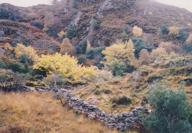
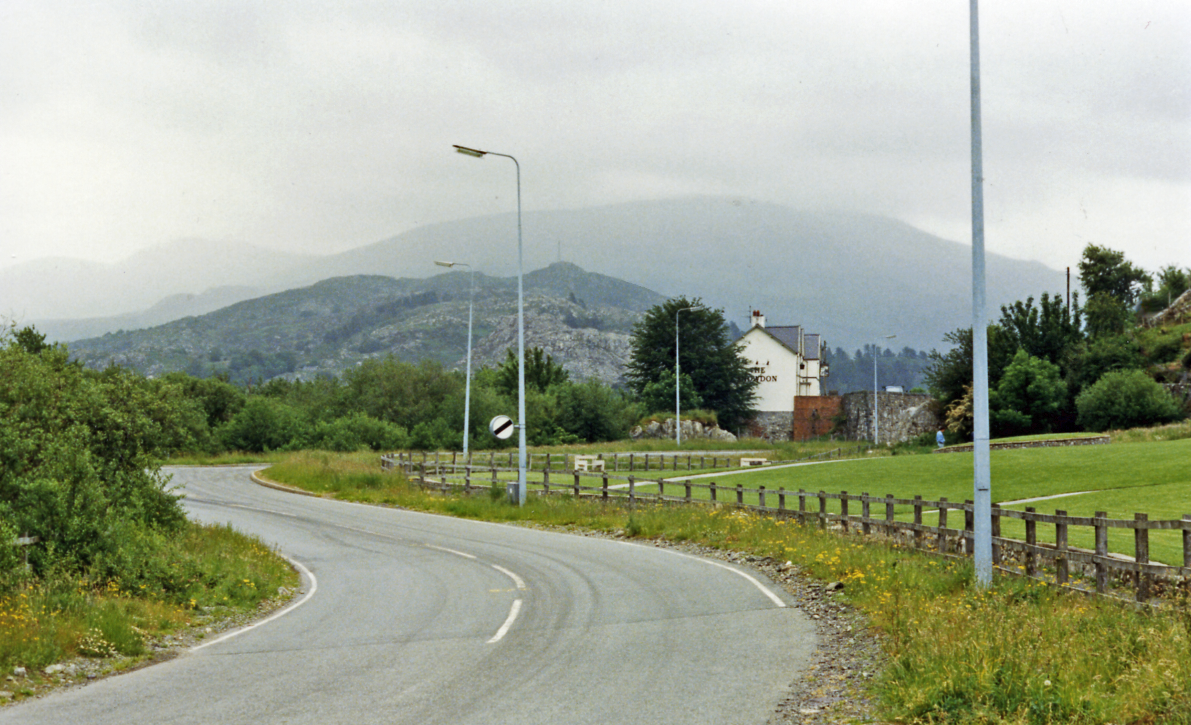
Llwyn-cogau is a picturesque area located in Caernarfonshire, Wales. Known for its breathtaking downs and moorland, it offers visitors a unique and serene experience. The name "Llwyn-cogau" translates to "the grove of cuckoos," a fitting name considering the abundance of birdlife in the area.

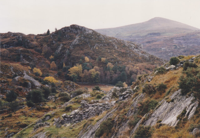
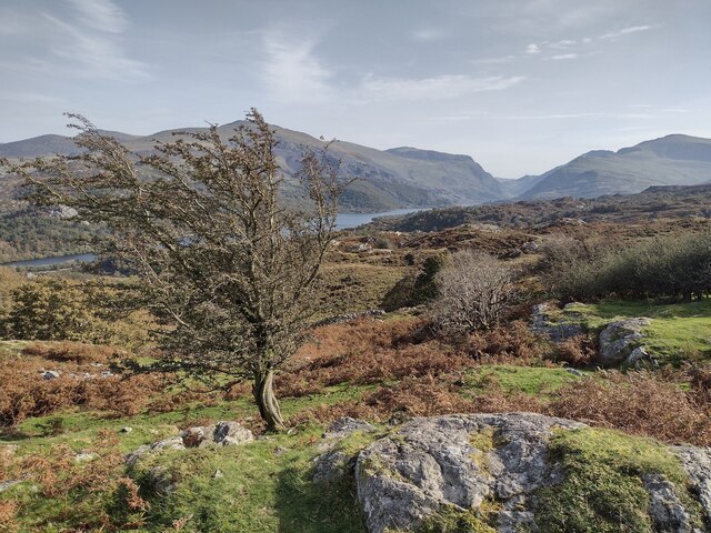
The landscape of Llwyn-cogau is characterized by rolling hills and vast open spaces. The downs offer stunning panoramic views of the surrounding countryside, with patches of vibrant green grass and heather covering the land. The moorland, on the other hand, presents a wilder and more rugged terrain, with rocky outcrops and scattered gorse bushes.

Visitors to Llwyn-cogau can enjoy a variety of activities. Hiking and walking trails crisscross the area, offering opportunities to explore the downs and moorland at one's own pace. The terrain is also ideal for cycling and horseback riding, providing a sense of freedom and connection with nature.

The flora and fauna in Llwyn-cogau are diverse and abundant. Wildflowers such as foxgloves and bluebells dot the landscape, adding bursts of color to the scenery. Birdwatchers will be delighted by the presence of various species, including cuckoos, skylarks, and peregrine falcons.

For those seeking tranquility and solitude, Llwyn-cogau is the perfect destination. Its peaceful atmosphere and untouched natural beauty make it a haven for nature lovers and outdoor enthusiasts. Whether exploring the downs, admiring the moorland, or simply taking in the breathtaking views, Llwyn-cogau is a place that will leave a lasting impression on all who visit.

If you have any feedback on the listing, please let us know in the comments section below.
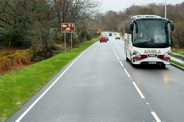
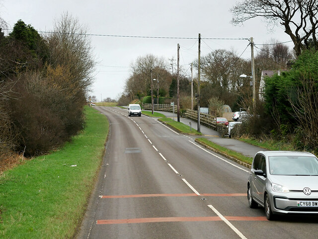
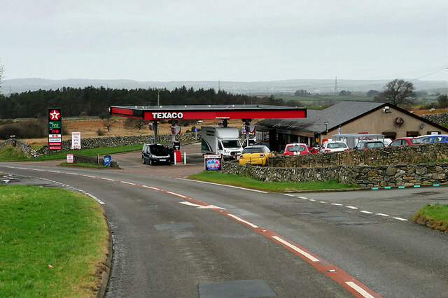
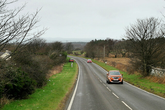
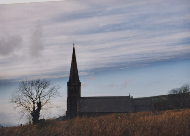
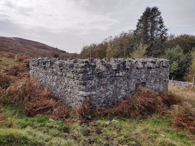
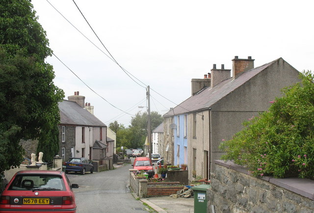
Llwyn-cogau Images

Images are sourced within 2km of 53.143969/-4.1470484 or Grid Reference SH5662. Thanks to Geograph Open Source API. All images are credited.

Old Milestone by A4086, Llyn Padarn, north end near Hotel with palm tree The Milestone is located in roadside wall that is painted white on the West of the road.  Parish of Llanberis (Gwynedd District), erected in the 19th Century, edge chips . 

Inscription reads:-  
C. CURIG / 11M 5½F / CARNARVON / 6M 

Milestone Society National ID: CAE_CVCC06
Old Milestone by A4086, Llyn Padarn, north end near Hotel with palm tree
The Milestone is located in roadside wall that is painted white on the West of the road.  Parish of Llanberis (Gwynedd District), erected in the 19th Century, edge chips . Inscription reads:- C. CURIG / 11M 5½F / CARNARVON / 6M Milestone Society National ID: CAE_CVCC06
WWII Defences of North Wales: Lake View Hotel, Llanberis -
Minefield: EDoB ID: e46184 

Concrete landmine sockets in the old road surface in the car park of the Lake View Hotel. I got some curious looks from patrons of the hotel photographing these!
WWII Defences of North Wales: Lake View Hotel, Llanberis
- Minefield: EDoB ID: e46184 Concrete landmine sockets in the old road surface in the car park of the Lake View Hotel. I got some curious looks from patrons of the hotel photographing these!
Connector pylon at the Stabla ESS
Craig Llew from the Clegyr Path These are some of the oldest rocks in Wales. Moel Eilio forms the background.
Craig Llew from the Clegyr Path
These are some of the oldest rocks in Wales. Moel Eilio forms the background.
Wooded wetland below Craig Llew The walls are  the work of early 18thC quarrymen-farmers who carved small holdings from the wastes. This dual economy remained a feature of the slate quarrying districts of Caernarvonshire until the 1960s/
Wooded wetland below Craig Llew
The walls are the work of early 18thC quarrymen-farmers who carved small holdings from the wastes. This dual economy remained a feature of the slate quarrying districts of Caernarvonshire until the 1960s/
London Garage, Maes Gerddi The A4086 runs for almost 18 miles between Caernarfon and Capel Curig. It is a popular tourist route as it passes through some of the most memorable and famous parts of Snowdonia including the Llanberis Pass.
London Garage, Maes Gerddi
The A4086 runs for almost 18 miles between Caernarfon and Capel Curig. It is a popular tourist route as it passes through some of the most memorable and famous parts of Snowdonia including the Llanberis Pass.
A4086 near Llanberis The A4086 runs for almost 18 miles between Caernarfon and Capel Curig. It is a popular tourist route as it passes through some of the most memorable and famous parts of Snowdonia including the Llanberis Pass.
A4086 near Llanberis
The A4086 runs for almost 18 miles between Caernarfon and Capel Curig. It is a popular tourist route as it passes through some of the most memorable and famous parts of Snowdonia including the Llanberis Pass.
A4086 towards Llanberis The A4086 runs for almost 18 miles between Caernarfon and Capel Curig. It is a popular tourist route as it passes through some of the most memorable and famous parts of Snowdonia including the Llanberis Pass.
A4086 towards Llanberis
The A4086 runs for almost 18 miles between Caernarfon and Capel Curig. It is a popular tourist route as it passes through some of the most memorable and famous parts of Snowdonia including the Llanberis Pass.
Angela's Coach near Llanberis Angela Coaches' VDL Futura coach (R600 ACL) on the A4086 road about one mile outside Llanberis.
Angela's Coach near Llanberis
Angela Coaches' VDL Futura coach (R600 ACL) on the A4086 road about one mile outside Llanberis.
A4244 near Bryn Derw The A4244 is a relatively short (6½ miles) rural A-road in north Caernarfonshire. It connects the A5/A55 (near the Llys-y-gwynt junction) with the A4086 at Brynrefail, just outside Llanberis.
A4244 near Bryn Derw
The A4244 is a relatively short (6½ miles) rural A-road in north Caernarfonshire. It connects the A5/A55 (near the Llys-y-gwynt junction) with the A4086 at Brynrefail, just outside Llanberis.
Beran Service Station The A4244 is a relatively short (6½ miles) rural A-road in north Caernarfonshire. It connects the A5/A55 (near the Llys-y-gwynt junction) with the A4086 at Brynrefail, just outside Llanberis.
Beran Service Station
The A4244 is a relatively short (6½ miles) rural A-road in north Caernarfonshire. It connects the A5/A55 (near the Llys-y-gwynt junction) with the A4086 at Brynrefail, just outside Llanberis.
A4244 northbound The A4244 is a relatively short (6½ miles) rural A-road in north Caernarfonshire. It connects the A5/A55 (near the Llys-y-gwynt junction) with the A4086 at Brynrefail, just outside Llanberis.
A4244 northbound
The A4244 is a relatively short (6½ miles) rural A-road in north Caernarfonshire. It connects the A5/A55 (near the Llys-y-gwynt junction) with the A4086 at Brynrefail, just outside Llanberis.
Eglwys Llandinorwig Church This image was taken from Lon Cefn-y-Waun. Holyhead Mountain, more than 20 miles away. is clearly visible in the bottom left hand corner of this image.
Eglwys Llandinorwig Church
This image was taken from Lon Cefn-y-Waun. Holyhead Mountain, more than 20 miles away. is clearly visible in the bottom left hand corner of this image.
Llyn Padarn and the Snowdon Massif April evening sunshine on Llyn Padarn and the Snowdon Massif.  
Taken from Pont Pen-y-llyn at the northwestern end of Llyn Padarn; looking along the lake towards Llanberis.
Llyn Padarn and the Snowdon Massif
April evening sunshine on Llyn Padarn and the Snowdon Massif. Taken from Pont Pen-y-llyn at the northwestern end of Llyn Padarn; looking along the lake towards Llanberis.
Below Pen-y-bwlch
Below Pen-y-bwlch
Covered Reservoir, Parc-y-Gleision
Footbridge
Footbridge
Old Road Part of the old A.4086 now bypassed near to Llanberis, Gwynedd.
Old Road
Part of the old A.4086 now bypassed near to Llanberis, Gwynedd.
Show me another place!

Llwyn-cogau is located at Grid Ref: SH5662 (Lat: 53.143969, Lng: -4.1470484)

Unitary Authority: Gwynedd

Police Authority: North Wales

What 3 Words

///incorrect.replace.traded. Near Deiniolen, Gwynedd
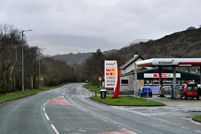
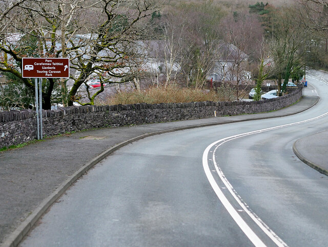
Related Wikis

Brynrefail, Gwynedd

Brynrefail () is a small village in Gwynedd, Wales which straddles the A4244 road roughly between Deiniolen and Llanberis. The village is in the Arfon...

Penllyn railway station (Wales)

Penllyn (LLR) railway station is the northern terminus of the Llanberis Lake Railway (LLR), located near Llanberis, Gwynedd, Wales. The station has no...

Clwt-y-bont

Clwt-y-bont is a village in Gwynedd, Wales, lying just to the south of Deiniolen. The two villages form one urban unit. Both were built in the early 19th...

Cwm-y-Glo railway station

Cwm-y-Glo railway station served the village of Cwm-y-glo, Gwynedd, Wales, at the north-west end of Llyn Padarn. The station was closed for regular passenger...

Nearby Amenities

Located within 500m of 53.143969,-4.1470484
Power: pole
Lat/Long: 53.1435688/-4.153921
Power: pole
Lat/Long: 53.1451439/-4.1541597
Power: pole
Lat/Long: 53.1455284/-4.1538244
Power: pole
Lat/Long: 53.1458727/-4.153516
Power: pole
Lat/Long: 53.1461735/-4.153237
Power: pole
Lat/Long: 53.1466207/-4.1528347
Power: pole
Lat/Long: 53.143219/-4.1537761
Power: pole
Lat/Long: 53.1433171/-4.1529366
Power: pole
Lat/Long: 53.1435584/-4.1524324
Power: pole
Lat/Long: 53.1440588/-4.1512817
Power: pole
Lat/Long: 53.1443966/-4.150292
Power: pole
Lat/Long: 53.1447683/-4.1492808
Power: pole
Lat/Long: 53.1451286/-4.1483205
Power: pole
Lat/Long: 53.1455131/-4.147245
Power: pole
Lat/Long: 53.1458381/-4.1463679
Power: pole
Lat/Long: 53.1461872/-4.1454318
Power: pole
Lat/Long: 53.146488/-4.1444233
Power: pole
Lat/Long: 53.1428932/-4.152116
Power: pole
Lat/Long: 53.1428626/-4.152639
Power: pole
Lat/Long: 53.142317/-4.1526131
Power: pole
Lat/Long: 53.1418474/-4.1525773
Power: pole
Lat/Long: 53.142927/-4.1514481
Pont Brynrefail
Place: locality
Lat/Long: 53.1436888/-4.1539079
Methodist Capel Brynrefail War Memorial
Historic: memorial
Lat/Long: 53.1423971/-4.1537504
Barrier: stile
Material: wood
Source: survey;gps
Stile: stepover
Lat/Long: 53.1419586/-4.1492936
Barrier: entrance
Lat/Long: 53.1420258/-4.1497803
The data included in this document is from www.openstreetmap.org. The data is made available under ODbL.

Have you been to Llwyn-cogau?

Leave your review of Llwyn-cogau below (or comments, questions and feedback).