Bryn-teg

Settlement in Caernarfonshire

Wales

Bryn-teg

WWII Defences of North Wales: Lake View Hotel, Llanberis -
Minefield: EDoB ID: e46184 

Concrete landmine sockets in the old road surface in the car park of the Lake View Hotel. I got some curious looks from patrons of the hotel photographing these!
WWII Defences of North Wales: Lake View Hotel, Llanberis Credit: Mike Searle

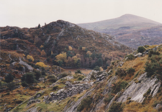
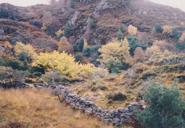
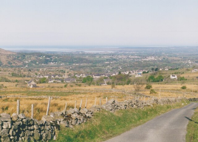
Bryn-teg is a small village located in the historic county of Caernarfonshire, Wales. Situated in the northwestern part of the country, it lies approximately 5 miles southeast of the town of Caernarfon. The village is nestled amidst the picturesque Snowdonia National Park, surrounded by lush green hills and valleys.

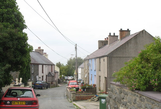
Home to a population of around 500 residents, Bryn-teg offers a peaceful and rural setting for its inhabitants. The community primarily relies on agriculture and farming as its economic backbone. The village is characterized by its charming stone cottages and traditional Welsh architecture, adding to its quaint and rustic appeal.

Despite its small size, Bryn-teg boasts a close-knit and friendly community spirit. The village has a primary school, ensuring local children have access to education without the need for long commutes. Additionally, there are a few local businesses catering to the needs of the residents, including a convenience store and a pub, where locals often gather to socialize.

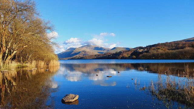
For outdoor enthusiasts, Bryn-teg serves as an ideal base to explore the stunning natural beauty of Snowdonia National Park. The area offers a plethora of opportunities for hiking, cycling, and wildlife spotting. The nearby Llyn Padarn lake is also a popular spot for water activities such as kayaking and fishing.

In conclusion, Bryn-teg is a small and picturesque village in Caernarfonshire, Wales. With its tranquil surroundings, tight-knit community, and proximity to the Snowdonia National Park, it offers an idyllic lifestyle for those seeking a peaceful retreat in the heart of the Welsh countryside.

If you have any feedback on the listing, please let us know in the comments section below.
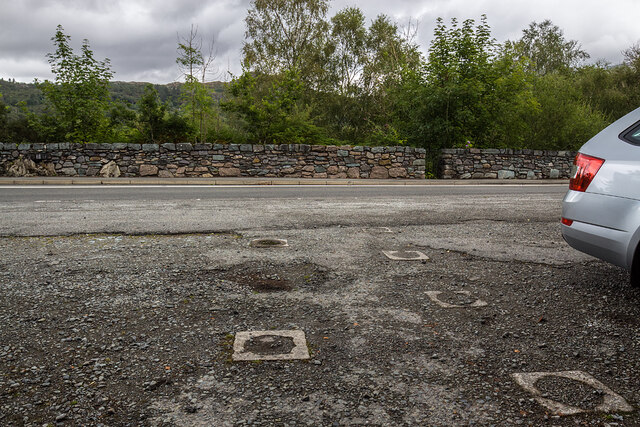
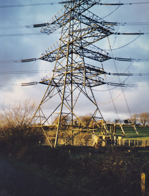
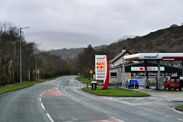
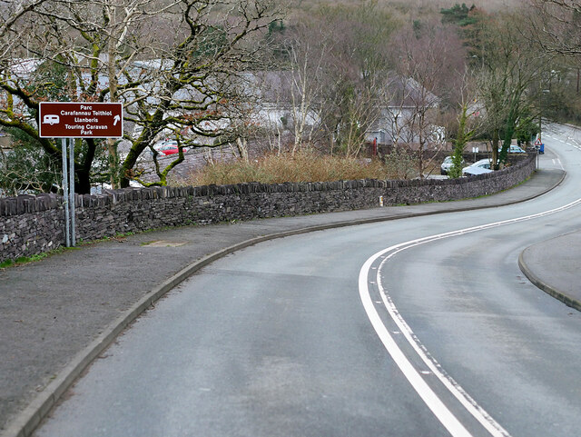
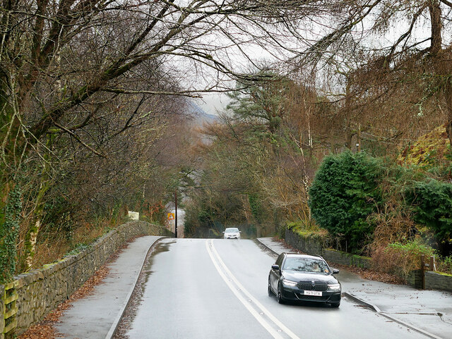
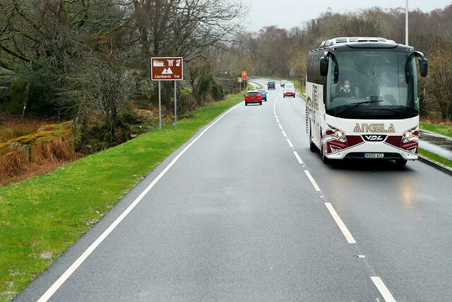
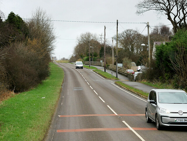
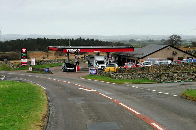
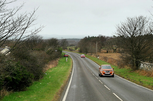
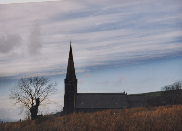
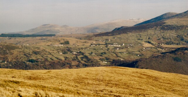
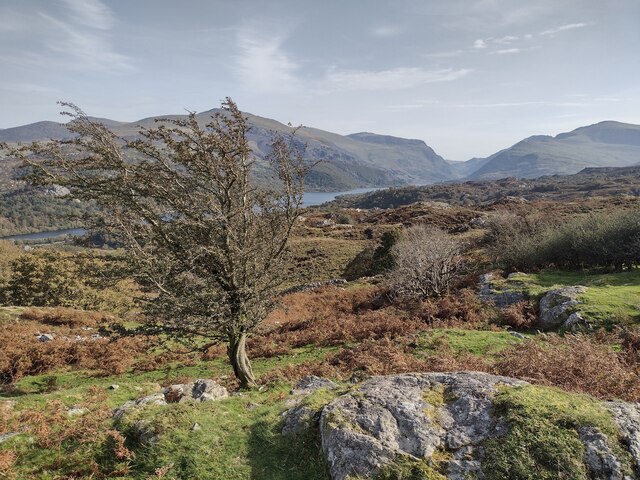
Bryn-teg Images

Images are sourced within 2km of 53.144504/-4.140742 or Grid Reference SH5662. Thanks to Geograph Open Source API. All images are credited.

WWII Defences of North Wales: Lake View Hotel, Llanberis -
Minefield: EDoB ID: e46184 

Concrete landmine sockets in the old road surface in the car park of the Lake View Hotel. I got some curious looks from patrons of the hotel photographing these!
WWII Defences of North Wales: Lake View Hotel, Llanberis
- Minefield: EDoB ID: e46184 Concrete landmine sockets in the old road surface in the car park of the Lake View Hotel. I got some curious looks from patrons of the hotel photographing these!
Connector pylon at the Stabla ESS
Craig Llew from the Clegyr Path These are some of the oldest rocks in Wales. Moel Eilio forms the background.
Craig Llew from the Clegyr Path
These are some of the oldest rocks in Wales. Moel Eilio forms the background.
Wooded wetland below Craig Llew The walls are  the work of early 18thC quarrymen-farmers who carved small holdings from the wastes. This dual economy remained a feature of the slate quarrying districts of Caernarvonshire until the 1960s/
Wooded wetland below Craig Llew
The walls are the work of early 18thC quarrymen-farmers who carved small holdings from the wastes. This dual economy remained a feature of the slate quarrying districts of Caernarvonshire until the 1960s/
London Garage, Maes Gerddi The A4086 runs for almost 18 miles between Caernarfon and Capel Curig. It is a popular tourist route as it passes through some of the most memorable and famous parts of Snowdonia including the Llanberis Pass.
London Garage, Maes Gerddi
The A4086 runs for almost 18 miles between Caernarfon and Capel Curig. It is a popular tourist route as it passes through some of the most memorable and famous parts of Snowdonia including the Llanberis Pass.
A4086 near Llanberis The A4086 runs for almost 18 miles between Caernarfon and Capel Curig. It is a popular tourist route as it passes through some of the most memorable and famous parts of Snowdonia including the Llanberis Pass.
A4086 near Llanberis
The A4086 runs for almost 18 miles between Caernarfon and Capel Curig. It is a popular tourist route as it passes through some of the most memorable and famous parts of Snowdonia including the Llanberis Pass.
A4086 towards Llanberis The A4086 runs for almost 18 miles between Caernarfon and Capel Curig. It is a popular tourist route as it passes through some of the most memorable and famous parts of Snowdonia including the Llanberis Pass.
A4086 towards Llanberis
The A4086 runs for almost 18 miles between Caernarfon and Capel Curig. It is a popular tourist route as it passes through some of the most memorable and famous parts of Snowdonia including the Llanberis Pass.
Angela's Coach near Llanberis Angela Coaches' VDL Futura coach (R600 ACL) on the A4086 road about one mile outside Llanberis.
Angela's Coach near Llanberis
Angela Coaches' VDL Futura coach (R600 ACL) on the A4086 road about one mile outside Llanberis.
A4244 near Bryn Derw The A4244 is a relatively short (6½ miles) rural A-road in north Caernarfonshire. It connects the A5/A55 (near the Llys-y-gwynt junction) with the A4086 at Brynrefail, just outside Llanberis.
A4244 near Bryn Derw
The A4244 is a relatively short (6½ miles) rural A-road in north Caernarfonshire. It connects the A5/A55 (near the Llys-y-gwynt junction) with the A4086 at Brynrefail, just outside Llanberis.
Beran Service Station The A4244 is a relatively short (6½ miles) rural A-road in north Caernarfonshire. It connects the A5/A55 (near the Llys-y-gwynt junction) with the A4086 at Brynrefail, just outside Llanberis.
Beran Service Station
The A4244 is a relatively short (6½ miles) rural A-road in north Caernarfonshire. It connects the A5/A55 (near the Llys-y-gwynt junction) with the A4086 at Brynrefail, just outside Llanberis.
A4244 northbound The A4244 is a relatively short (6½ miles) rural A-road in north Caernarfonshire. It connects the A5/A55 (near the Llys-y-gwynt junction) with the A4086 at Brynrefail, just outside Llanberis.
A4244 northbound
The A4244 is a relatively short (6½ miles) rural A-road in north Caernarfonshire. It connects the A5/A55 (near the Llys-y-gwynt junction) with the A4086 at Brynrefail, just outside Llanberis.
View South towards Llandinorwig Church and Cefn y Waun Chapel from the upper section of Lon Pen Bont The two places of worship were built on the moorland edge above the village of Deiniolen.
View South towards Llandinorwig Church and Cefn y Waun Chapel from the upper section of Lon Pen Bont
The two places of worship were built on the moorland edge above the village of Deiniolen.
Eglwys Llandinorwig Church This image was taken from Lon Cefn-y-Waun. Holyhead Mountain, more than 20 miles away. is clearly visible in the bottom left hand corner of this image.
Eglwys Llandinorwig Church
This image was taken from Lon Cefn-y-Waun. Holyhead Mountain, more than 20 miles away. is clearly visible in the bottom left hand corner of this image.
Eglwys Crist, Llandinorwig and Cefn-y-Waun MC, Deiniolen Cefn-y-Waun is also spelt Cefn-y-Waen. Both places of worship are located on heathland east of the former slate quarrying village of Deiniolen. Capel Cefn-y-Waun has since been decommissioned.
Eglwys Crist, Llandinorwig and Cefn-y-Waun MC, Deiniolen
Cefn-y-Waun is also spelt Cefn-y-Waen. Both places of worship are located on heathland east of the former slate quarrying village of Deiniolen. Capel Cefn-y-Waun has since been decommissioned.
Pentref Dinorwig o lethrau Moel Eilian/ The village of Dinorwig from the slopes of Moel Eilian Dinorwig was the highest quarrying village in the Seiont Valley.
Pentref Dinorwig o lethrau Moel Eilian/ The village of Dinorwig from the slopes of Moel Eilian
Dinorwig was the highest quarrying village in the Seiont Valley.
Cefn-y-Waun MC Chapel and Llandinorwig Church from Lon Bwlch Uchaf Both are located on high ground above the village of Deiniolen. Cefn-y-waun chapel was decommissioned in the first decade of the 21atC.
Cefn-y-Waun MC Chapel and Llandinorwig Church from Lon Bwlch Uchaf
Both are located on high ground above the village of Deiniolen. Cefn-y-waun chapel was decommissioned in the first decade of the 21atC.
Llyn Padarn and the Snowdon Massif April evening sunshine on Llyn Padarn and the Snowdon Massif.  
Taken from Pont Pen-y-llyn at the northwestern end of Llyn Padarn; looking along the lake towards Llanberis.
Llyn Padarn and the Snowdon Massif
April evening sunshine on Llyn Padarn and the Snowdon Massif. Taken from Pont Pen-y-llyn at the northwestern end of Llyn Padarn; looking along the lake towards Llanberis.
Below Pen-y-bwlch
Below Pen-y-bwlch
Show me another place!

Bryn-teg is located at Grid Ref: SH5662 (Lat: 53.144504, Lng: -4.140742)

Unitary Authority: Gwynedd

Police Authority: North Wales

What 3 Words

///warms.stags.rockets. Near Deiniolen, Gwynedd

Related Wikis

Clwt-y-bont

Clwt-y-bont is a village in Gwynedd, Wales, lying just to the south of Deiniolen. The two villages form one urban unit. Both were built in the early 19th...

Brynrefail, Gwynedd

Brynrefail () is a small village in Gwynedd, Wales which straddles the A4244 road roughly between Deiniolen and Llanberis. The village is in the Arfon...

Penllyn railway station (Wales)

Penllyn (LLR) railway station is the northern terminus of the Llanberis Lake Railway (LLR), located near Llanberis, Gwynedd, Wales. The station has no...

Deiniolen

Deiniolen (; Welsh: [dɛinɪˈɔlɛn]; ) is a village in Gwynedd, Wales, at the foot of Elidir Fawr, in Llanddeiniolen Community. Deiniolen has views over Caernarfon...

Nearby Amenities

Located within 500m of 53.144504,-4.140742
Barrier: kissing_gate
Source: survey;gps
Lat/Long: 53.140368/-4.1420661
Barrier: kissing_gate
Source: survey;gps
Lat/Long: 53.1444803/-4.1341198
Clwt-y-bont
Name Cy: Clwt-y-bont
Place: hamlet
Wikidata: Q12255875
Lat/Long: 53.1466949/-4.1400025
Power: pole
Lat/Long: 53.1455131/-4.147245
Power: pole
Lat/Long: 53.1458381/-4.1463679
Power: pole
Lat/Long: 53.1461872/-4.1454318
Power: pole
Lat/Long: 53.146488/-4.1444233
Direction: 195
Generator Method: photovoltaic
Generator Output Electricity: yes
Generator Solar Modules: 8
Generator Source: solar
Generator Type: solar_photovoltaic_panel
Location: roof
Power: generator
Lat/Long: 53.1463489/-4.1347861
Direction: 195
Generator Method: photovoltaic
Generator Output Electricity: yes
Generator Solar Modules: 8
Generator Source: solar
Generator Type: solar_photovoltaic_panel
Location: roof
Power: generator
Lat/Long: 53.1463746/-4.134931
The data included in this document is from www.openstreetmap.org. The data is made available under ODbL.

Have you been to Bryn-teg?

Leave your review of Bryn-teg below (or comments, questions and feedback).