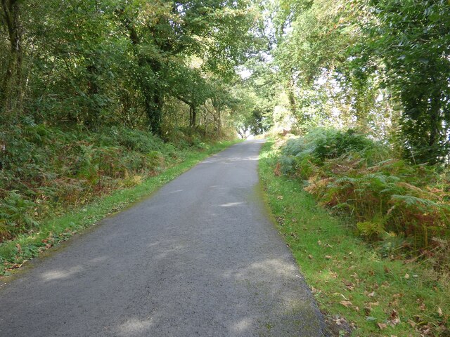
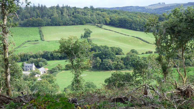
Blaen-wern Wood
Wood, Forest in Cardiganshire
Wales
Blaen-wern Wood
The requested URL returned error: 429 Too Many Requests
If you have any feedback on the listing, please let us know in the comments section below.
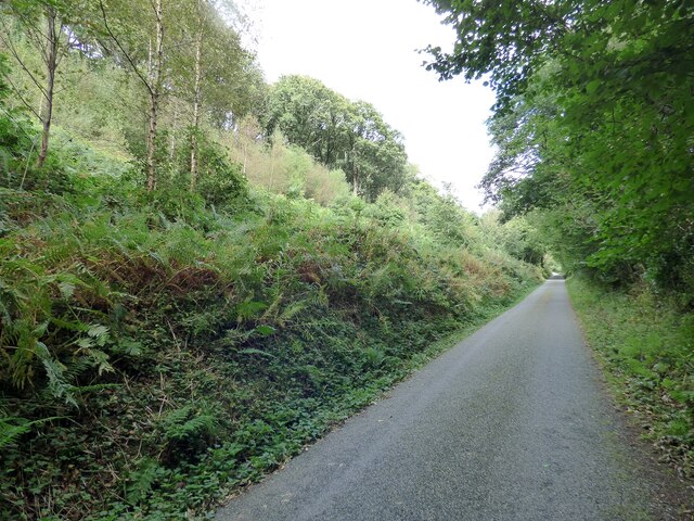
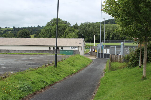
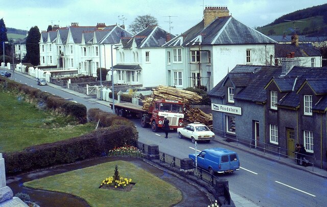
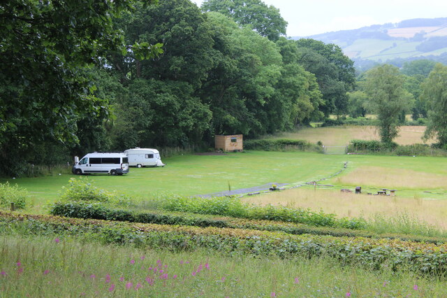
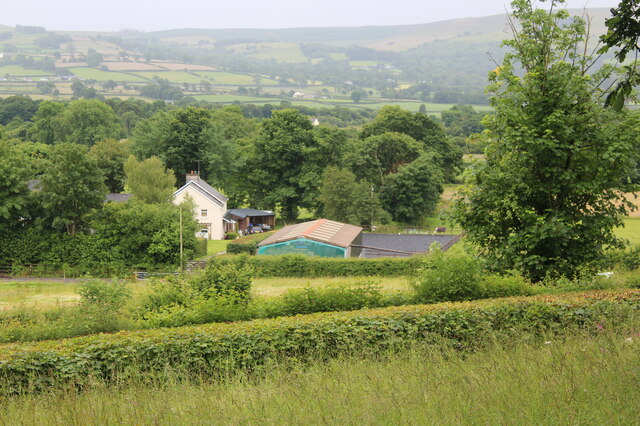
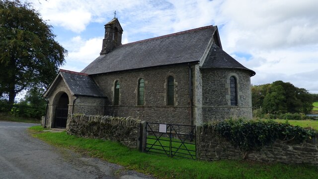
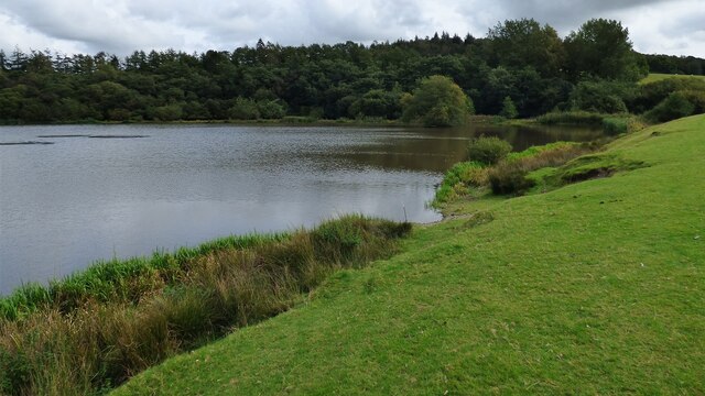
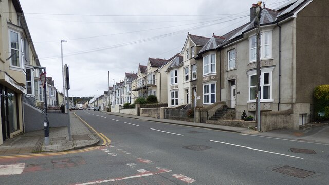
Blaen-wern Wood Images
Images are sourced within 2km of 52.115947/-4.0976507 or Grid Reference SN5648. Thanks to Geograph Open Source API. All images are credited.


Blaen-wern Wood is located at Grid Ref: SN5648 (Lat: 52.115947, Lng: -4.0976507)
Unitary Authority: Ceredigion
Police Authority: Dyfed Powys
What 3 Words
///flannel.coasters.quicksand. Near Lampeter, Ceredigion
Nearby Locations
Related Wikis

Falcondale
Falcondale (Welsh: Glyn Hebog) is a hamlet in the community of Lampeter, Ceredigion, Wales, and occupies a low bluff overlooking the Nant Creuddyn north...
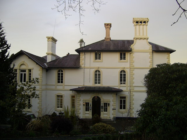
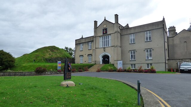
Falcondale House
Falcondale House is a Grade II listed former country house, now the Falcondale Mansion Hotel, which is situated some 1 mile north-west of Lampeter, Ceredigion...

Church of Our Lady of Mount Carmel, Lampeter
The Church of Our Lady of Mount Carmel is a Roman Catholic church located in the university town of Lampeter in Ceredigion, Wales. Constructed by the London...

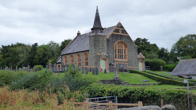
St Peter's Church, Lampeter
St Peter's Church, Lampeter, is the Church in Wales parish church for the University town of Lampeter. It is a Grade II listed building, and has been described...
Nearby Amenities
Located within 500m of 52.115947,-4.0976507Have you been to Blaen-wern Wood?
Leave your review of Blaen-wern Wood below (or comments, questions and feedback).