Falcondale Big Wood
Wood, Forest in Cardiganshire
Wales
Falcondale Big Wood
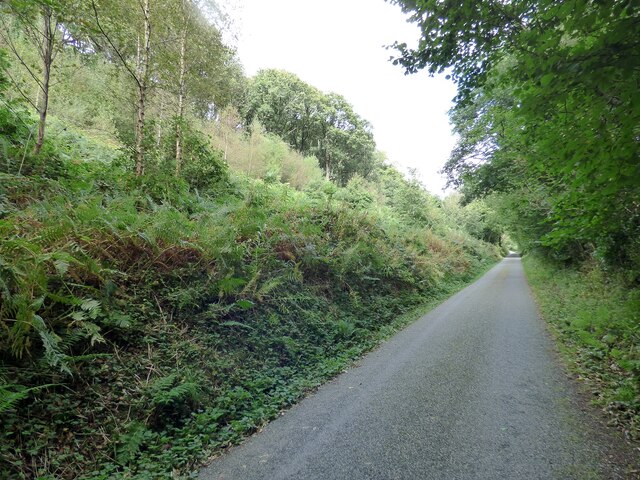
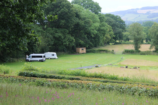
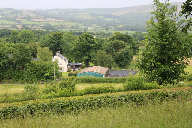
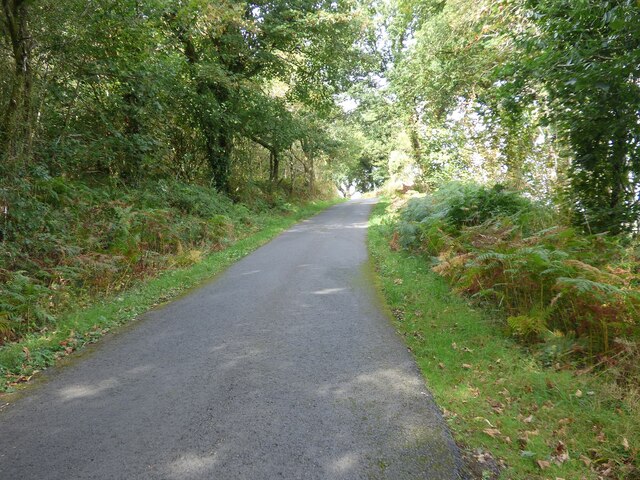
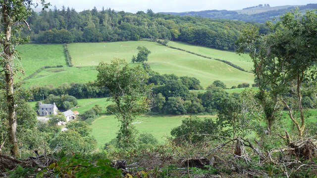
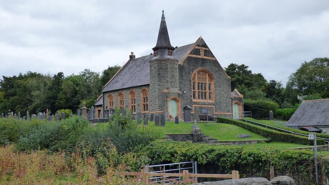
Falcondale Big Wood is a large wooded area located in Cardiganshire, Wales. Covering an area of approximately 200 acres, this forest is a popular destination for nature lovers and outdoor enthusiasts. The wood is home to a diverse range of flora and fauna, including oak, beech, and ash trees, as well as various species of birds, insects, and small mammals.
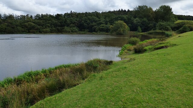
Visitors to Falcondale Big Wood can enjoy a network of well-maintained walking trails that wind through the forest, providing opportunities to observe the local wildlife and take in the peaceful surroundings. The wood is also home to a number of historic features, including the ruins of an old stone cottage and a small pond that is frequented by ducks and other waterfowl.
In addition to its natural beauty, Falcondale Big Wood is also a site of cultural significance, with several ancient burial mounds located within its boundaries. These archaeological remains offer a glimpse into the area's rich history and provide a fascinating backdrop for visitors exploring the forest.
Overall, Falcondale Big Wood is a tranquil and picturesque destination that offers a peaceful retreat from the hustle and bustle of everyday life.
If you have any feedback on the listing, please let us know in the comments section below.
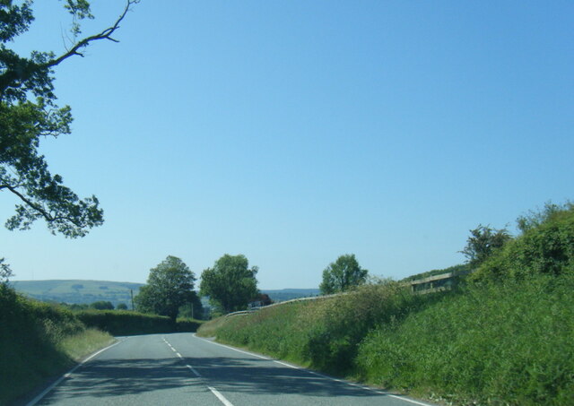
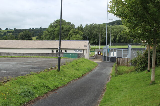
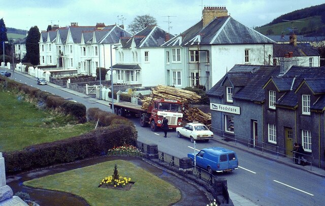
Falcondale Big Wood Images
Images are sourced within 2km of 52.119282/-4.0947105 or Grid Reference SN5648. Thanks to Geograph Open Source API. All images are credited.


Falcondale Big Wood is located at Grid Ref: SN5648 (Lat: 52.119282, Lng: -4.0947105)
Unitary Authority: Ceredigion
Police Authority: Dyfed Powys
What 3 Words
///prouder.cutback.food. Near Lampeter, Ceredigion
Nearby Locations
Related Wikis
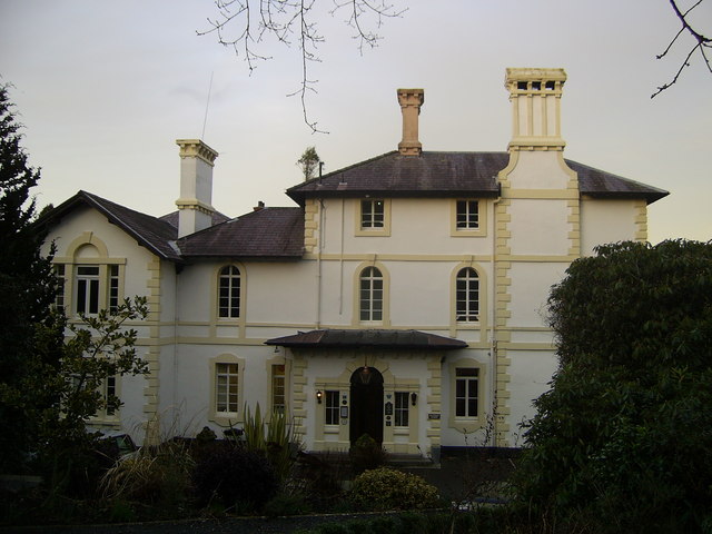
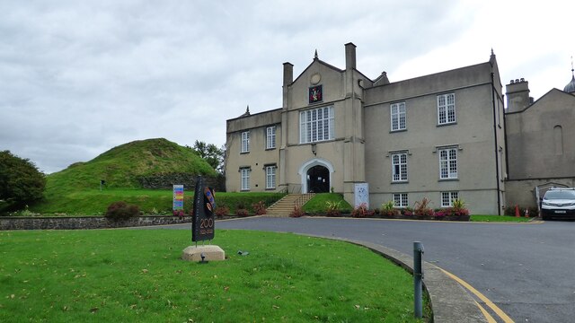
Falcondale House
Falcondale House is a Grade II listed former country house, now the Falcondale Mansion Hotel, which is situated some 1 mile north-west of Lampeter, Ceredigion...

Falcondale
Falcondale (Welsh: Glyn Hebog) is a hamlet in the community of Lampeter, Ceredigion, Wales, and occupies a low bluff overlooking the Nant Creuddyn north...

Lampeter
Lampeter (; Welsh: Llanbedr Pont Steffan (formal); Llambed (colloquial)) is a town, community and electoral ward in Ceredigion, Wales, at the confluence...

St Peter's Church, Lampeter
St Peter's Church, Lampeter, is the Church in Wales parish church for the University town of Lampeter. It is a Grade II listed building, and has been described...
Related Videos

Gone Walkabout - Walk 1,000 Miles - Day Fifty-Nine - 482 Miles To Go - Tim Visits A Magical Garden
Fifty-Ninth day of the Walk 1000 Miles 2021 Challenge. Today's walk took me to Lampeter, Ceredigion in Wales. Raising money in ...

Guide to Lampeter
A guide to a town I know almost nothing about.

Kid gets faked by pensioner!
Fun session at a Welsh Walking Basketball Session turns into an amazing win by the Walking Basketball Club!

A walk through Lampeter University. 🏴 🇬🇧
Fantastic views and sunset over Lampeter river.
Nearby Amenities
Located within 500m of 52.119282,-4.0947105Have you been to Falcondale Big Wood?
Leave your review of Falcondale Big Wood below (or comments, questions and feedback).