Beddgelert Forest
Wood, Forest in Caernarfonshire
Wales
Beddgelert Forest

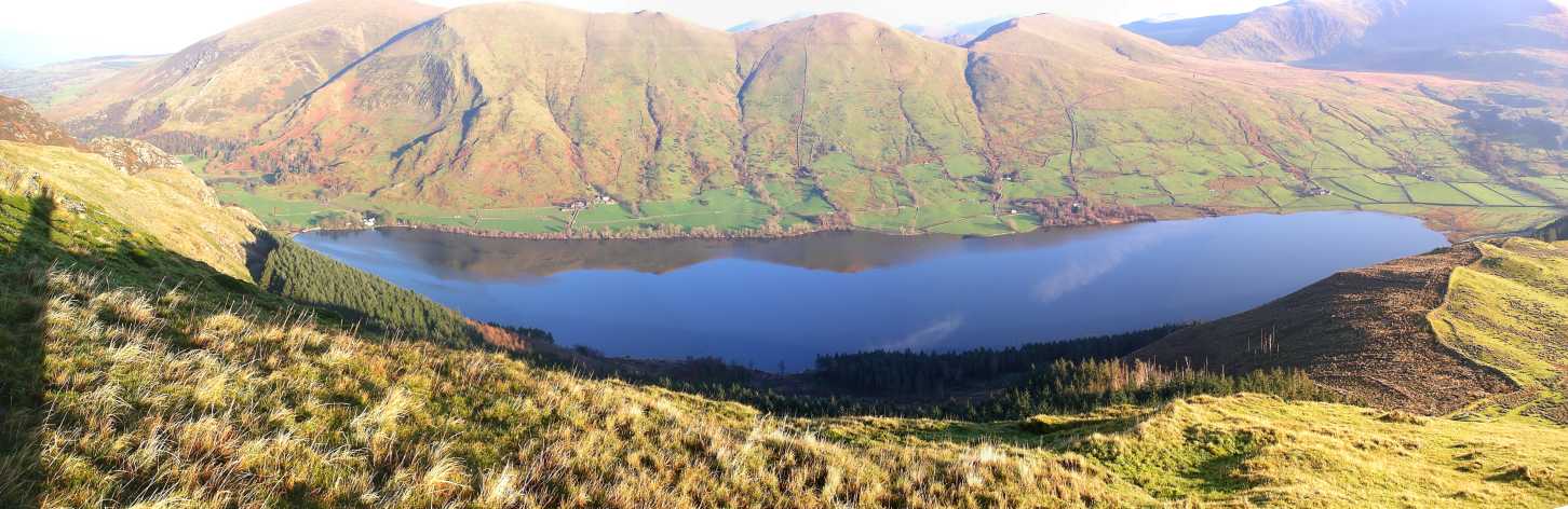
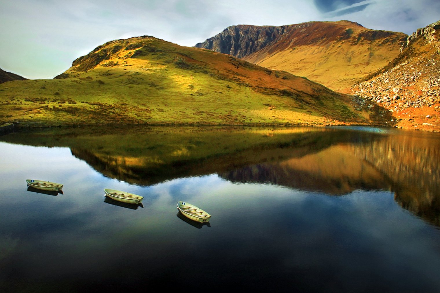
Beddgelert Forest is a beautiful woodland located in the county of Caernarfonshire, Wales. Covering an area of approximately 700 hectares, it is nestled within the Snowdonia National Park, offering visitors a serene and picturesque natural environment.
The forest is primarily composed of coniferous trees, including pine and spruce, creating a dense and enchanting canopy. These trees provide a habitat for a diverse range of wildlife, such as red squirrels, badgers, and various bird species. The forest is also known for its vibrant carpets of bluebells during the spring season.
Within the forest, there are numerous well-maintained walking trails, allowing visitors to explore its beauty at their own pace. The trails cater to different abilities, from easy strolls to more challenging hikes. Along these paths, visitors can enjoy breathtaking views of the surrounding mountains and valleys, including the impressive peak of Mount Snowdon.
Beddgelert Forest is also home to the enchanting Aberglaslyn Pass, a deep gorge carved by the swirling waters of the River Glaslyn. This dramatic landscape offers stunning views and is a popular spot for photographers and nature enthusiasts.
The forest is easily accessible, with a car park located near the village of Beddgelert. Visitors can also reach the forest by public transport, with regular bus services available.
Overall, Beddgelert Forest is a haven of natural beauty, offering visitors a chance to escape the hustle and bustle of everyday life and immerse themselves in the tranquility of the Welsh countryside.
If you have any feedback on the listing, please let us know in the comments section below.
Beddgelert Forest Images
Images are sourced within 2km of 53.063731/-4.1438453 or Grid Reference SH5653. Thanks to Geograph Open Source API. All images are credited.


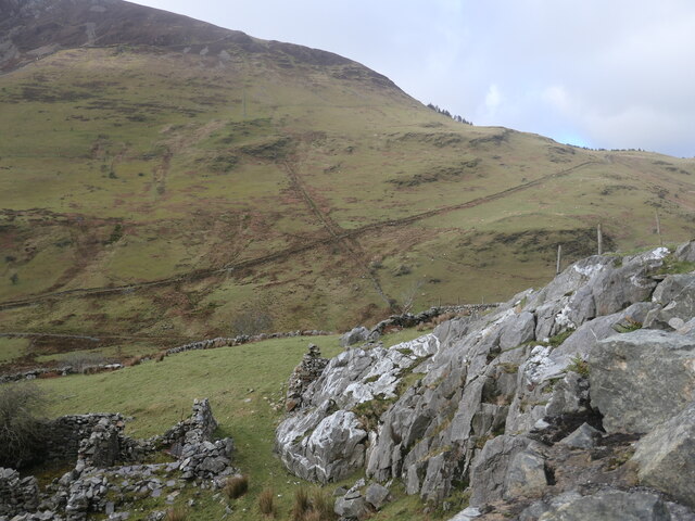
![Clogwyn, a ruined cottage alongside the road to Nantlle The cottage is shown on large-scale OS maps surveyed in the 1880s. A damaged slate sign on the windowsill reads 'Clogwyn Fawr[?] lle qwyd y Brodyr Francis', which I think in English is 'Clogwyn, where the Francis brothers were'.](https://s2.geograph.org.uk/geophotos/07/12/98/7129894_7a0c87e9.jpg)


Beddgelert Forest is located at Grid Ref: SH5653 (Lat: 53.063731, Lng: -4.1438453)
Unitary Authority: Gwynedd
Police Authority: North Wales
What 3 Words
///operation.highlighted.brings. Near Llanberis, Gwynedd
Nearby Locations
Related Wikis
Llyn Cwellyn
Llyn Cwellyn (Llyn Quellyn in some antiquated texts) is a reservoir in North Wales which supplies drinking water to parts of Gwynedd and Anglesey. It lies...

Snowdon Ranger railway station
Snowdon Ranger is a station on the narrow gauge Welsh Highland Railway, which was built in 1878 as the North Wales Narrow Gauge Railways Moel Tryfan Undertaking...
Rhyd-ddu
Rhyd-ddu (; Welsh: [ˌr̥iːdˈðiː]; lit. 'black ford') is a small village in Snowdonia, North Wales which is a starting point for walks up Snowdon (via the...
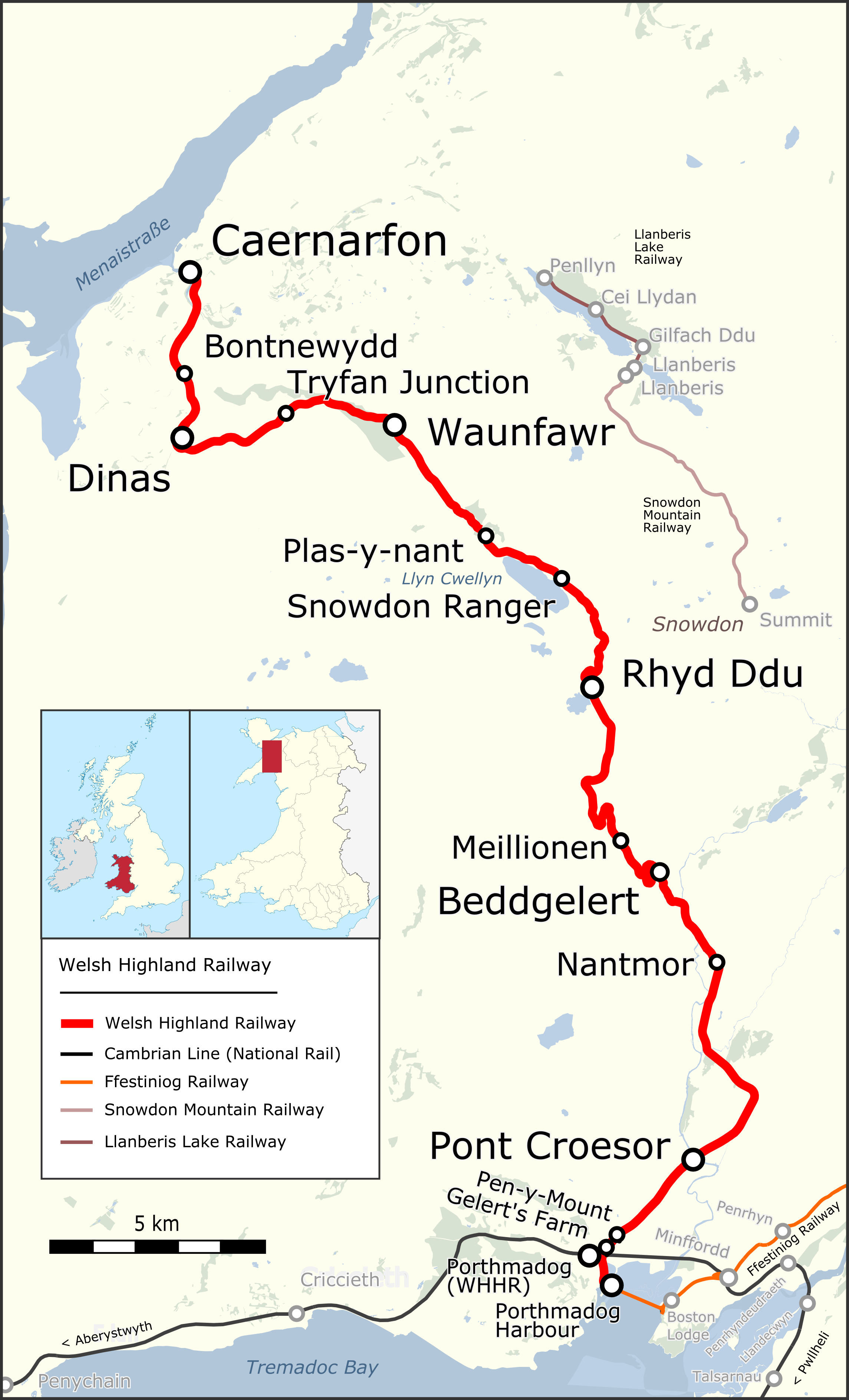
Welsh Highland Railway
The Welsh Highland Railway (WHR; Welsh: Rheilffordd Eryri) is a 25-mile (40.2 km) long, restored 1 ft 11+1⁄2 in (597 mm) narrow gauge heritage railway...
Nearby Amenities
Located within 500m of 53.063731,-4.1438453Have you been to Beddgelert Forest?
Leave your review of Beddgelert Forest below (or comments, questions and feedback).