Coed Gwlyb
Wood, Forest in Caernarfonshire
Wales
Coed Gwlyb

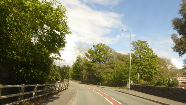
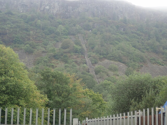
Coed Gwlyb is a picturesque wood located in the county of Caernarfonshire, North Wales. Spanning over a vast area, it is celebrated for its breathtaking natural beauty and diverse ecosystem. The wood is nestled amidst rolling hills and offers a tranquil escape from the hustle and bustle of everyday life.
The forest is predominantly composed of deciduous trees, including oak, beech, and birch, which create a stunning canopy overhead. The woodland floor is adorned with a rich carpet of wildflowers, such as bluebells and primroses, adding vibrant pops of color to the landscape.
Coed Gwlyb boasts a network of well-maintained footpaths, allowing visitors to explore its enchanting surroundings. These paths wind through the trees, offering stunning views of the surrounding countryside and providing opportunities to spot local wildlife, including deer, foxes, and a variety of bird species.
The wood is not only a haven for nature enthusiasts but also a valuable resource for the local community. It provides a sustainable source of timber and firewood, supporting the local economy and helping to maintain the traditional woodland management practices of the area.
In addition to its natural beauty, Coed Gwlyb holds historical significance. It is believed to have been inhabited since ancient times, with evidence of early settlements and ancient burial mounds discovered within its boundaries.
Overall, Coed Gwlyb is a treasured natural gem in Caernarfonshire, offering visitors an opportunity to immerse themselves in the beauty of the Welsh countryside while providing a vital habitat for local flora and fauna.
If you have any feedback on the listing, please let us know in the comments section below.
Coed Gwlyb Images
Images are sourced within 2km of 52.925644/-4.1708306 or Grid Reference SH5438. Thanks to Geograph Open Source API. All images are credited.


Coed Gwlyb is located at Grid Ref: SH5438 (Lat: 52.925644, Lng: -4.1708306)
Unitary Authority: Gwynedd
Police Authority: North Wales
What 3 Words
///conga.capacity.straying. Near Porthmadog, Gwynedd
Nearby Locations
Related Wikis
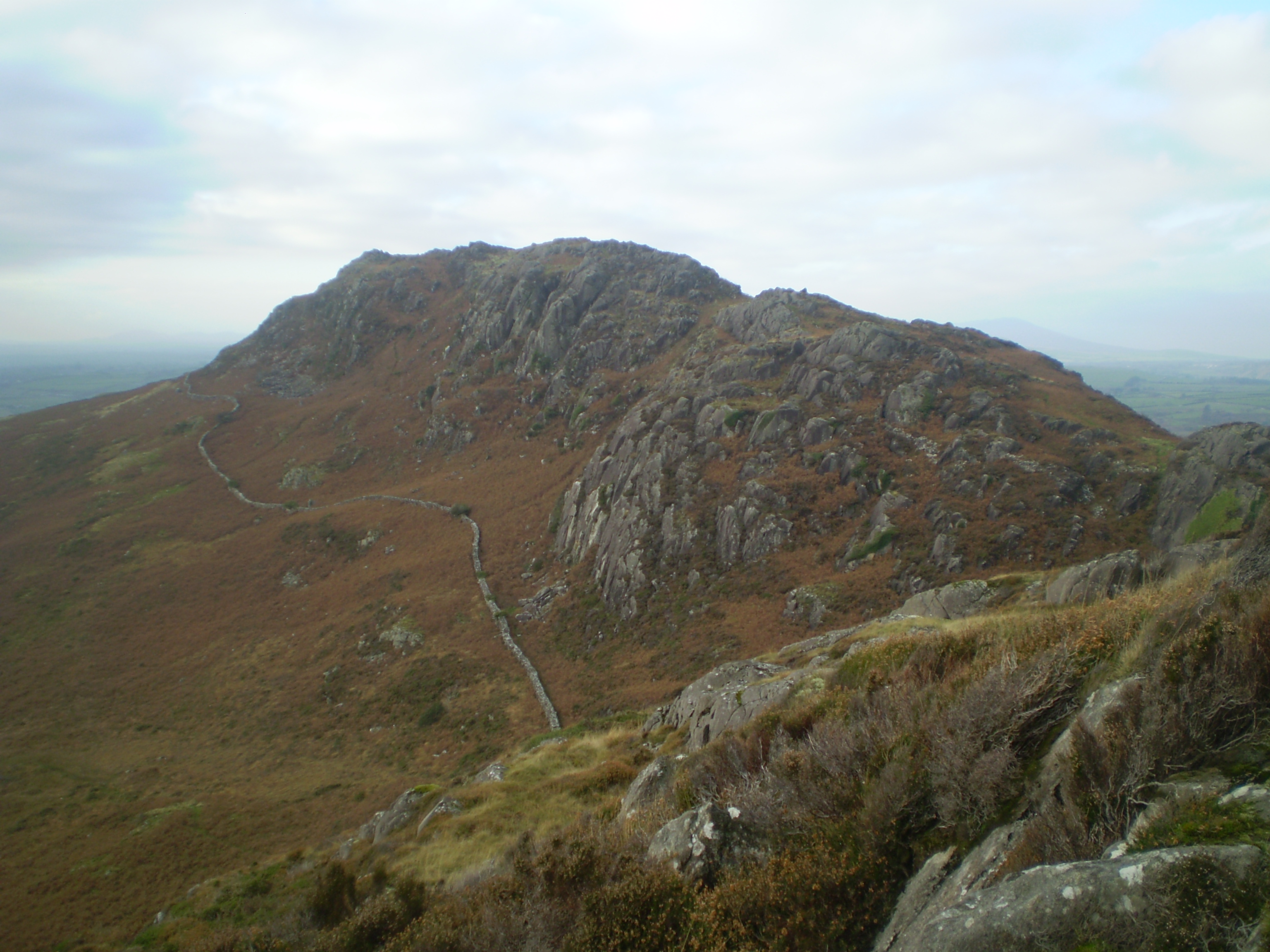
Moel y Gest
Moel y Gest is a 263 m (863 ft) hill to the west of Porthmadog in North Wales. It is a very rocky hill with high topographic prominence because of the...
Morfa Bychan
Morfa Bychan is a village located in Gwynedd, North Wales, with a population of over 500, with an almost equal number of people born in England or Wales...

St Cynhaearn's Church, Ynyscynhaearn
St Cynhaearn's Church is a redundant church standing in an isolated position on Ynyscynhaearna, a former island in Llyn (Lake) Ystumllyn, 900 metres (980...

St Beuno's Church, Penmorfa
St Beuno's Church, Penmorfa, is a redundant church near the settlement of Penmorfa, some 2 miles (3 km) to the northwest of Porthmadog, Gwynedd, Wales...

Ysbyty Alltwen
Ysbyty Alltwen (English: Alltwen Hospital) is a health facility in Tremadog, Gwynedd, Wales. It is managed by the Betsi Cadwaladr University Health Board...

Ystumllyn
Ystumllyn is a Grade II* listed house in Criccieth, Wales. Founded in the late-16th-century, and significantly expanded in the early-18th-century, it is...

Tremadog
Tremadog (formerly Tremadoc) is a village in the community of Porthmadog, in Gwynedd, north west Wales; about one mile (1.6 km) north of Porthmadog town...

Black Rock Halt railway station
Black Rock Halt was a railway station in Gwynedd, located between Criccieth and Porthmadog on the former Aberystwith and Welsh Coast Railway. It served...
Have you been to Coed Gwlyb?
Leave your review of Coed Gwlyb below (or comments, questions and feedback).