Tan Coed

Wood, Forest in Caernarfonshire

Wales

Tan Coed

Connector pylon at the Stabla ESS
Connector pylon at the Stabla ESS Credit: Eric Jones

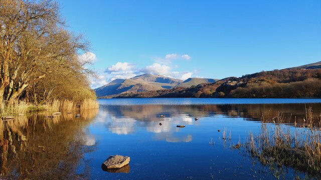
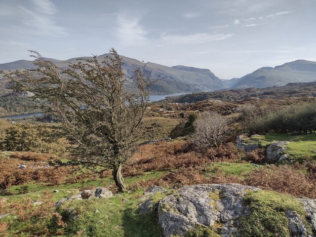
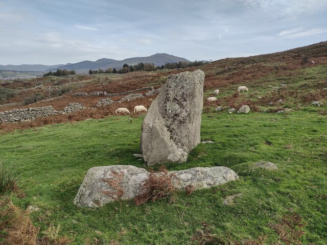
Tan Coed is a small village located in the county of Caernarfonshire, Wales. Situated amidst lush greenery and encompassed by dense forests, it is aptly named as "Wood" or "Forest" in Welsh. The village is nestled within the breathtaking Snowdonia National Park, which is renowned for its stunning landscapes and diverse wildlife.

Tan Coed is characterized by its tranquil and picturesque surroundings, making it an ideal retreat for nature lovers and outdoor enthusiasts. The area is adorned with towering trees, including oak, birch, and pine, creating a rich canopy that provides shade and shelter for the local flora and fauna. The forest is home to various species of birds, mammals, and insects, contributing to its ecological significance.

The village itself comprises a small number of residential properties, with a close-knit community that takes pride in preserving the natural beauty of the area. Its remoteness and peaceful atmosphere make it a popular destination for those seeking solace and a break from the hustle and bustle of city life.

For visitors, Tan Coed offers a plethora of outdoor activities, such as hiking, cycling, and wildlife spotting. There are numerous trails and paths that wind through the forest, allowing explorers to immerse themselves in the serenity of nature. Additionally, the nearby Snowdonia National Park offers opportunities for mountaineering, rock climbing, and water sports in its pristine lakes and rivers.

In conclusion, Tan Coed is a charming village enveloped by a lush forest, offering a haven for those seeking tranquility and natural beauty. Its location within Snowdonia National Park provides endless opportunities for outdoor adventures, making it a popular destination for nature enthusiasts.

If you have any feedback on the listing, please let us know in the comments section below.
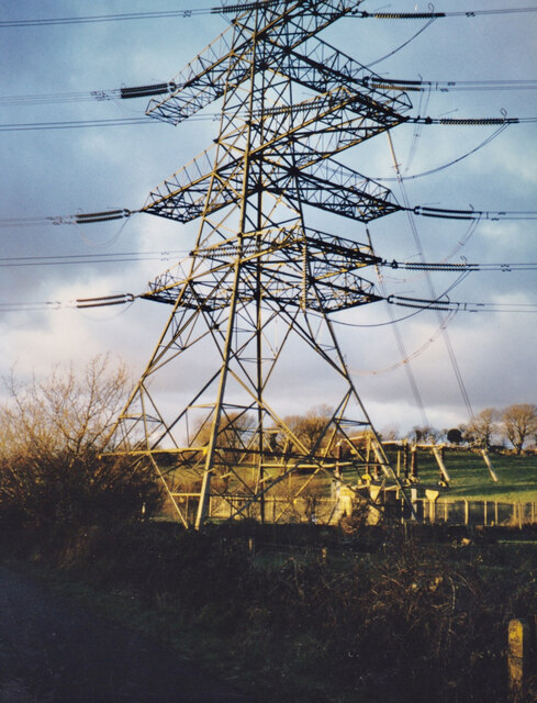
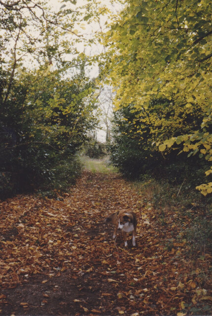
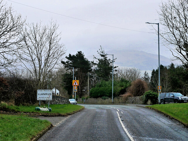
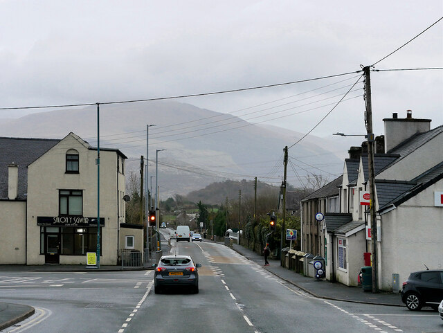
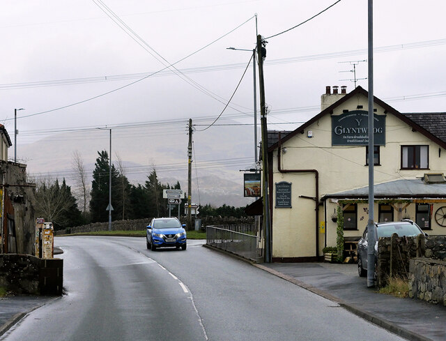
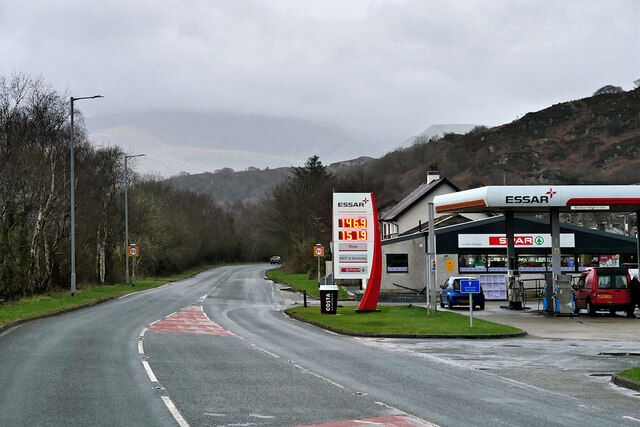
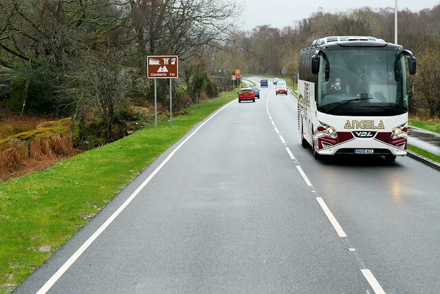
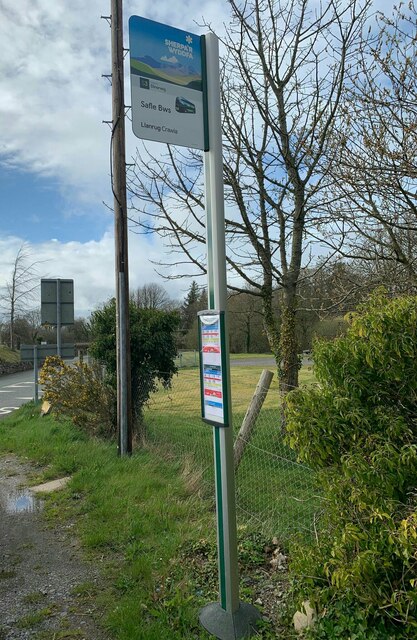
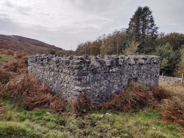
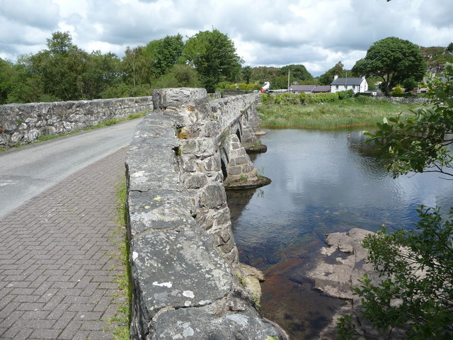
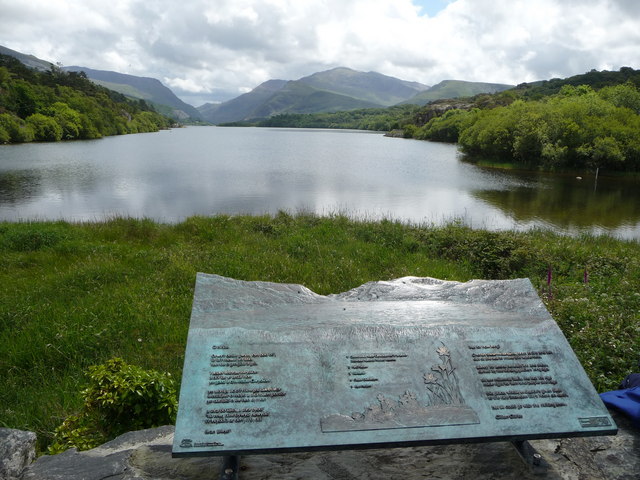
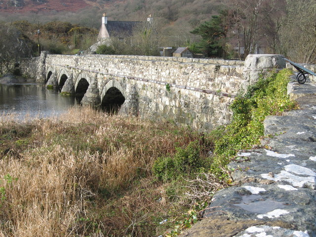
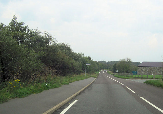
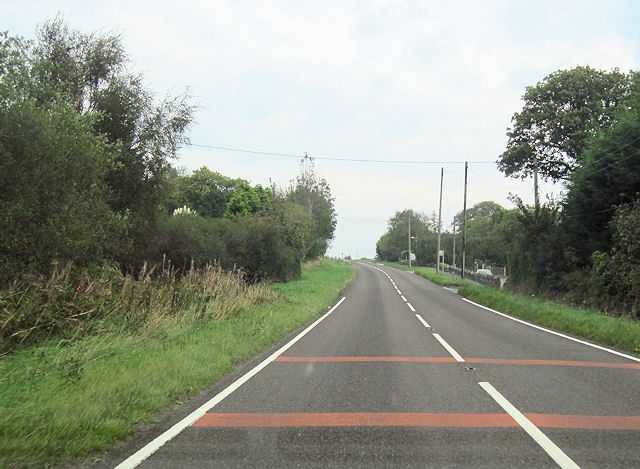
Tan Coed Images

Images are sourced within 2km of 53.138776/-4.1829715 or Grid Reference SH5462. Thanks to Geograph Open Source API. All images are credited.

Connector pylon at the Stabla ESS
Fallen leaves in Plas Tirion Drive
Llanberis Road, Llanrug The A4086 runs for almost 18 miles between Caernarfon and Capel Curig. It is a popular tourist route as it passes through some of the most memorable and famous parts of Snowdonia including the Llanberis Pass.
Llanberis Road, Llanrug
The A4086 runs for almost 18 miles between Caernarfon and Capel Curig. It is a popular tourist route as it passes through some of the most memorable and famous parts of Snowdonia including the Llanberis Pass.
Llanrug, Llanberis Road Crossroads in the centre of the village.
Llanrug, Llanberis Road
Crossroads in the centre of the village.
Y Glyntywrog, Llanberis Road The A4086 runs for almost 18 miles between Caernarfon and Capel Curig. It is a popular tourist route as it passes through some of the most memorable and famous parts of Snowdonia including the Llanberis Pass.
Y Glyntywrog, Llanberis Road
The A4086 runs for almost 18 miles between Caernarfon and Capel Curig. It is a popular tourist route as it passes through some of the most memorable and famous parts of Snowdonia including the Llanberis Pass.
London Garage, Maes Gerddi The A4086 runs for almost 18 miles between Caernarfon and Capel Curig. It is a popular tourist route as it passes through some of the most memorable and famous parts of Snowdonia including the Llanberis Pass.
London Garage, Maes Gerddi
The A4086 runs for almost 18 miles between Caernarfon and Capel Curig. It is a popular tourist route as it passes through some of the most memorable and famous parts of Snowdonia including the Llanberis Pass.
Angela's Coach near Llanberis Angela Coaches' VDL Futura coach (R600 ACL) on the A4086 road about one mile outside Llanberis.
Angela's Coach near Llanberis
Angela Coaches' VDL Futura coach (R600 ACL) on the A4086 road about one mile outside Llanberis.
Crawia bus stop at Tai Crawia, Llanrug
Llyn Padarn and the Snowdon Massif April evening sunshine on Llyn Padarn and the Snowdon Massif.  
Taken from Pont Pen-y-llyn at the northwestern end of Llyn Padarn; looking along the lake towards Llanberis.
Llyn Padarn and the Snowdon Massif
April evening sunshine on Llyn Padarn and the Snowdon Massif. Taken from Pont Pen-y-llyn at the northwestern end of Llyn Padarn; looking along the lake towards Llanberis.
Benchmark at Tai Crawia, Llanrug For more details see: <span class="nowrap"><a title="https://www.bench-marks.org.uk/bm189742" rel="nofollow ugc noopener" href="https://www.bench-marks.org.uk/bm189742">Link</a><img style="margin-left:2px;" alt="External link" title="External link - shift click to open in new window" src="https://s1.geograph.org.uk/img/external.png" width="10" height="10"/></span>
Benchmark at Tai Crawia, Llanrug
For more details see: LinkExternal link
Below Pen-y-bwlch
Below Pen-y-bwlch
Parc-y-Gleision Standing Stone
Covered Reservoir, Parc-y-Gleision
Old bridge at the north end of Llyn Padarn A very good spot to stop and admire the views all around.
Old bridge at the north end of Llyn Padarn
A very good spot to stop and admire the views all around.
View from the north end of Llyn Padarn The plaque acts as a toposcope and carries a poem about the scene.
View from the north end of Llyn Padarn
The plaque acts as a toposcope and carries a poem about the scene.
Pont Pen-Llyn
Pont Pen-Llyn
Brynrefail turnoff from A4244 Just north of river bridge
Brynrefail turnoff from A4244
Just north of river bridge
A4244 approaching 2nd Brynrefail turnoff
Show me another place!

Tan Coed is located at Grid Ref: SH5462 (Lat: 53.138776, Lng: -4.1829715)

Unitary Authority: Gwynedd

Police Authority: North Wales

What 3 Words

///lunges.cope.uncouth. Near Llanrug, Gwynedd

Related Wikis

Bryn Bras Castle

Bryn Bras Castle is a Grade II* listed country house located on the old road between Llanrug and Llanberis in Caernarfon, Gwynedd. The house, which remains...
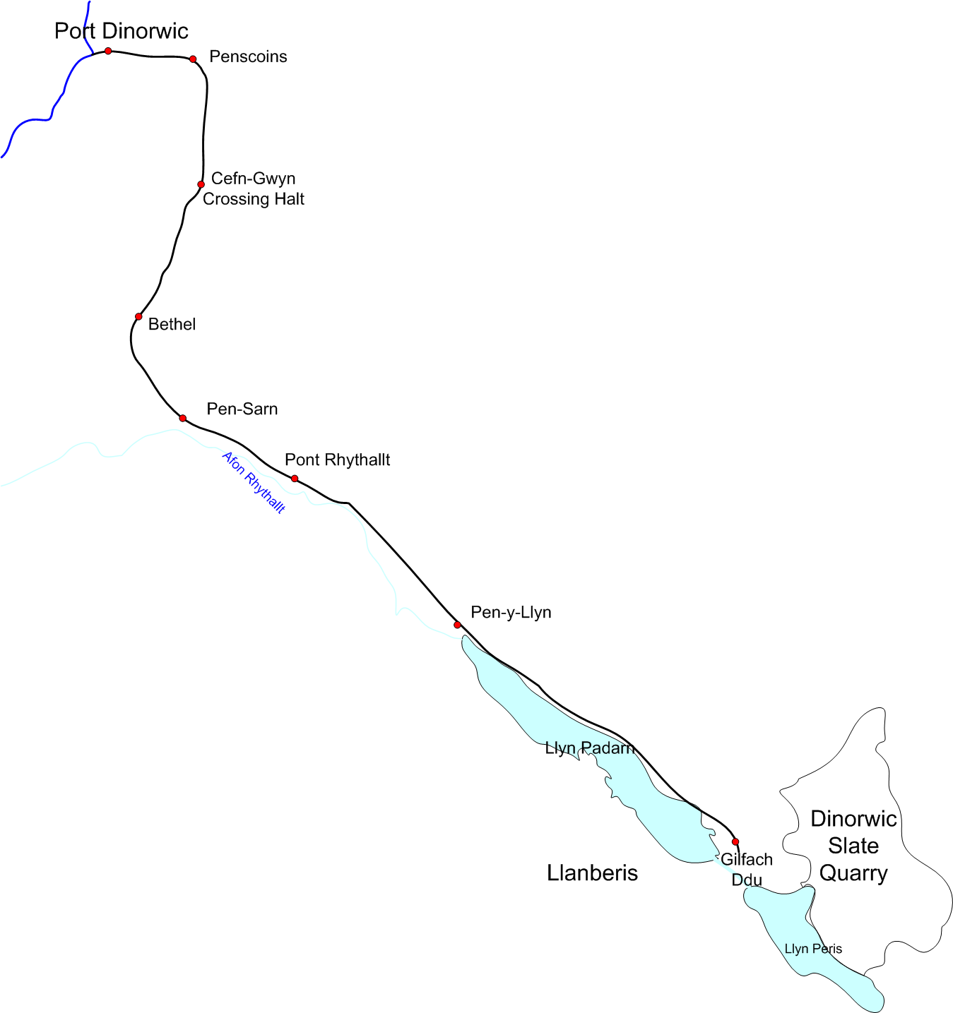
Padarn Railway

The Padarn Railway was a narrow-gauge railway in North Wales, built to the unusual gauge of 4 ft (1,219 mm). It carried slate seven miles (11 km) from...
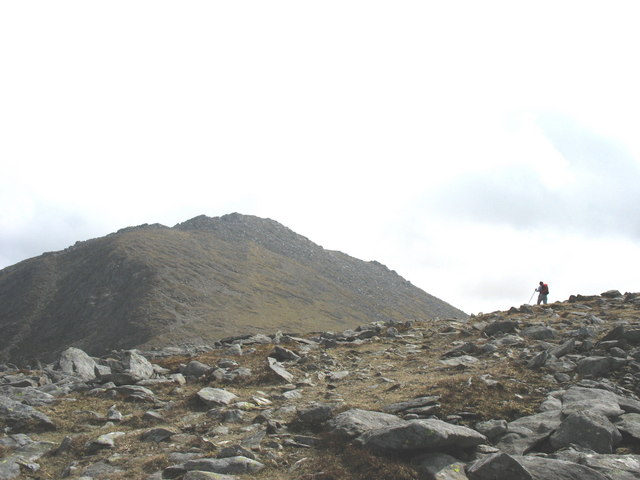
Y Fronllwyd

Y Fronllwyd, also known as Carnedd y Filiast North Top, is a top of Carnedd y Filiast in Snowdonia, Wales forming part of the Glyderau. It is the northern...

Llanrug

Llanrug (or Llanfihangel-yn-y-grug) is a medium-sized village and community in Gwynedd, north-west Wales. It lies about 4 miles (6.4 km) to the east of...

Cwm-y-glo

Cwm-y-glo is a small village in Wales, 4+1⁄2 miles (7 km) east of Caernarfon, between Llanberis and Llanrug. It is in the Arfon Parliamentary constituency...

Pontrhythallt railway station

Pontrhythallt was a railway station in the village of Pont Rhythallt, Gwynedd, Wales. This station opened in 1869 and closed for regular passenger services...

Afon Rhythallt

The River Rhythallt (Welsh: Afon Rhythallt) is a river in Gwynedd, North Wales whose source is Llyn Padarn. It flows in a northwesterly direction past...

Ysgol Brynrefail

Ysgol Brynrefail is a bilingual comprehensive school for pupils aged 11–18. It is situated in Llanrug in Gwynedd, north Wales. Most of the school's pupils...

Nearby Amenities

Located within 500m of 53.138776,-4.1829715
Barrier: kissing_gate
Foot: yes
Lat/Long: 53.1426189/-4.1829036
Power: tower
Lat/Long: 53.1384365/-4.1858889
Power: tower
Lat/Long: 53.1412433/-4.1833538
Barrier: kissing_gate
Lat/Long: 53.138994/-4.1829488
Barrier: kissing_gate
Lat/Long: 53.1373763/-4.1862398
Barrier: lift_gate
Lat/Long: 53.1382387/-4.1778119
Tan Y Coed
Place: locality
Lat/Long: 53.139453/-4.1890152
Power: pole
Lat/Long: 53.1424628/-4.1813318
Power: pole
Lat/Long: 53.1419094/-4.1809443
Power: pole
Lat/Long: 53.1400495/-4.1858956
Power: pole
Lat/Long: 53.1394936/-4.1867915
Power: pole
Lat/Long: 53.1429991/-4.1817216
Power: pole
Lat/Long: 53.1422674/-4.1827441
Power: pole
Lat/Long: 53.1416919/-4.1835134
Power: pole
Lat/Long: 53.1405705/-4.1850559
Power: pole
Lat/Long: 53.1389135/-4.1875854
Power: pole
Lat/Long: 53.1412168/-4.1841791
Power: pole
Lat/Long: 53.1363317/-4.1886822
Power: pole
Lat/Long: 53.1352156/-4.1809331
Power: pole
Lat/Long: 53.1352988/-4.1827682
Power: pole
Lat/Long: 53.1356109/-4.1847248
Power: pole
Lat/Long: 53.1365014/-4.1893201
Power: pole
Lat/Long: 53.1351065/-4.1820601
Power: pole
Lat/Long: 53.1383254/-4.1884907
Power: pole
Lat/Long: 53.1360438/-4.1876847
Power: pole
Lat/Long: 53.1359924/-4.1874912
Power: pole
Lat/Long: 53.1354087/-4.1870002
Power: pole
Lat/Long: 53.1355434/-4.1837123
Power: pole
Lat/Long: 53.1352682/-4.1876484
Power: pole
Lat/Long: 53.1352993/-4.1799943
Power: pole
Lat/Long: 53.1357421/-4.186585
Power: pole
Lat/Long: 53.1356584/-4.1853927
Power: pole
Lat/Long: 53.135774/-4.1875367
Power: pole
Lat/Long: 53.1375665/-4.1896248
Power: pole
Lat/Long: 53.1411065/-4.1804239
Power: pole
Lat/Long: 53.1411758/-4.1821965
Power: pole
Lat/Long: 53.1405715/-4.1800431
Power: pole
Lat/Long: 53.1407381/-4.1818776
Power: pole
Lat/Long: 53.1414275/-4.1816147
Barrier: stile
Lat/Long: 53.1414234/-4.1781763
Barrier: stile
Bicycle: no
Foot: yes
Horse: no
Motor Vehicle: no
Lat/Long: 53.1420056/-4.1791916
Power: pole
Lat/Long: 53.1399676/-4.1851802
Barrier: cattle_grid
Lat/Long: 53.1429411/-4.1807678
Post Box
Post Box Type: lamp
Royal Cypher: EIIR
Lat/Long: 53.1379197/-4.1903266
Power: pole
Lat/Long: 53.139027/-4.1834376
Power: pole
Lat/Long: 53.1394244/-4.1840785
Building: tower
Lat/Long: 53.1386621/-4.1760479
Barrier: lift_gate
Lat/Long: 53.1386318/-4.1781436
Barrier: stile
Bicycle: no
Foot: yes
Horse: no
Motor Vehicle: no
Lat/Long: 53.1414357/-4.1782184
Morawel
Building: house
Lat/Long: 53.1386035/-4.1895711
Terfyn
Building: house
Lat/Long: 53.1387459/-4.1894383
Surveillance: outdoor
Lat/Long: 53.1370535/-4.1865501
Barrier: kissing_gate
Lat/Long: 53.1402457/-4.1822076
Ford: stepping_stones
Lat/Long: 53.1390172/-4.1829406
Direction: 215
Generator Method: photovoltaic
Generator Output Electricity: yes
Generator Solar Modules: 14
Generator Source: solar
Generator Type: solar_photovoltaic_panel
Location: roof
Power: generator
Lat/Long: 53.1406025/-4.1872243
Direction: WNW
Generator Method: photovoltaic
Generator Output Electricity: yes
Generator Solar Modules: 6
Generator Source: solar
Generator Type: solar_photovoltaic_panel
Location: roof
Power: generator
Lat/Long: 53.1386146/-4.1895548
Direction: ESE
Generator Method: photovoltaic
Generator Output Electricity: yes
Generator Solar Modules: 10
Generator Source: solar
Generator Type: solar_photovoltaic_panel
Location: roof
Power: generator
Lat/Long: 53.1385869/-4.1894925
Waste Basket
Waste: dog_excrement
Lat/Long: 53.1429181/-4.1854396
The data included in this document is from www.openstreetmap.org. The data is made available under ODbL.

Have you been to Tan Coed?

Leave your review of Tan Coed below (or comments, questions and feedback).