Caer Carreg-y-fran

Heritage Site in Caernarfonshire

Wales

Caer Carreg-y-fran

Below Pen-y-bwlch
Below Pen-y-bwlch Credit: Chris Andrews

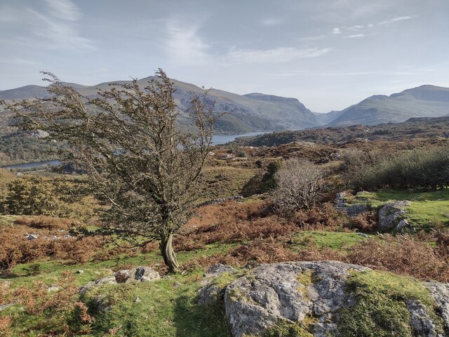
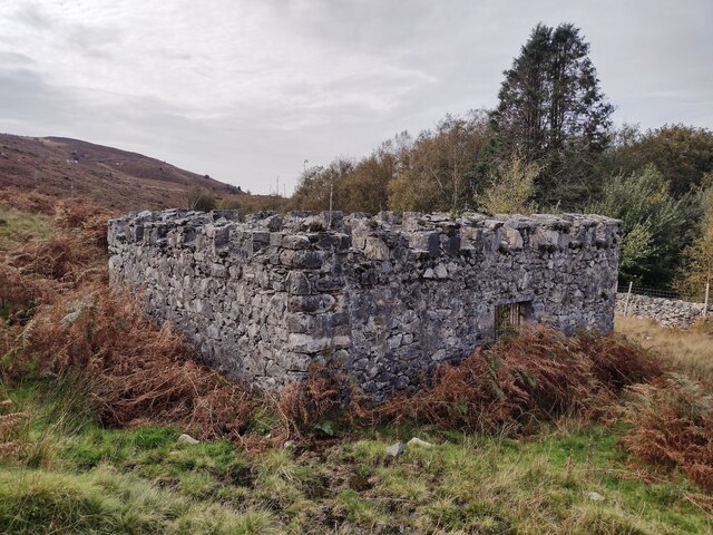
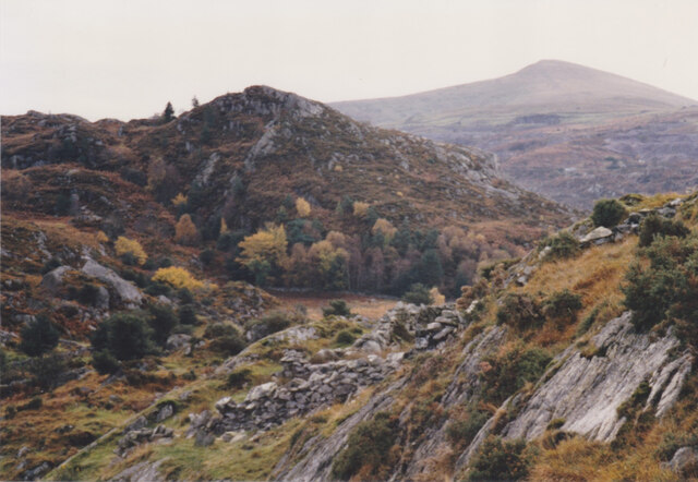
Caer Carreg-y-fran, located in Caernarfonshire, Wales, is a notable heritage site steeped in history and culture. Situated on a hilltop overlooking the enchanting Snowdonia National Park, this ancient hillfort dates back to the Iron Age, providing a captivating glimpse into the region's past.

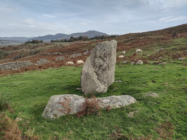
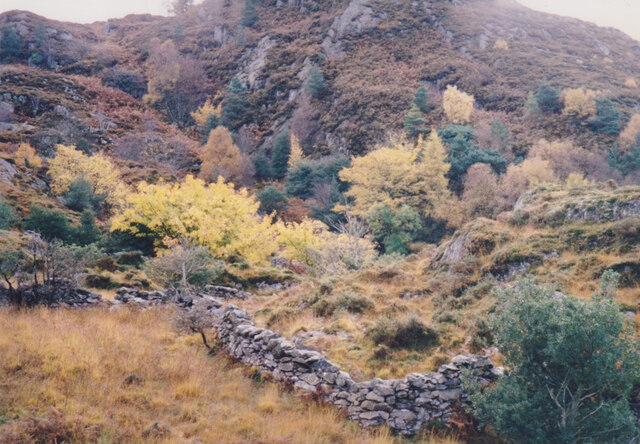
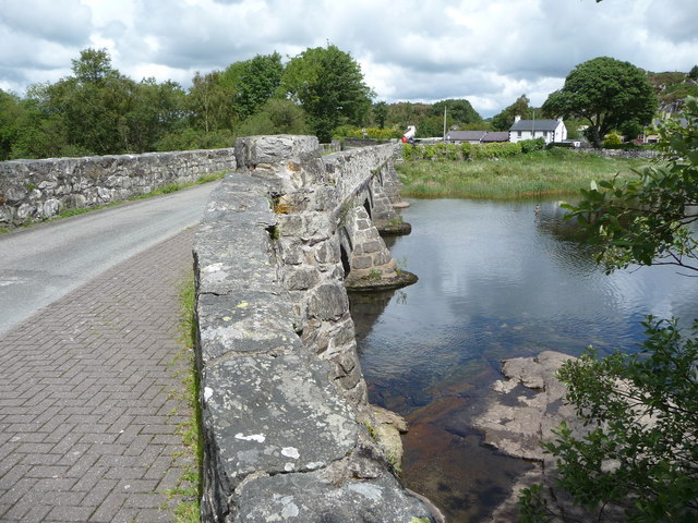
The site is surrounded by a series of impressive earthworks, including a ditch and an outer rampart, which were meticulously constructed by the early inhabitants to fortify their settlement. These fortifications have stood the test of time, offering visitors a chance to explore the remnants of this ancient defensive structure.

Caer Carreg-y-fran is believed to have been occupied during the late Bronze Age and early Iron Age, with evidence suggesting that it was a significant settlement during this era. Archaeologists have uncovered various artifacts, such as pottery fragments and tools, providing valuable insights into the daily lives of the people who once resided here.

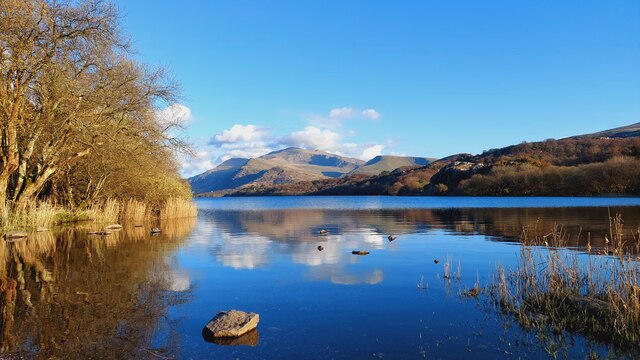
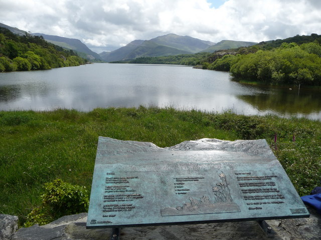
The site's strategic location offers breathtaking panoramic views of the surrounding landscape, making it a popular spot for photographers and nature enthusiasts. Visitors can take in the beauty of the rolling hills, dense forests, and sparkling lakes that stretch as far as the eye can see.

With its rich historical significance and stunning natural setting, Caer Carreg-y-fran is not only a must-visit for history buffs but also for those seeking a tranquil and picturesque escape in the heart of Wales.

If you have any feedback on the listing, please let us know in the comments section below.

Caer Carreg-y-fran Images

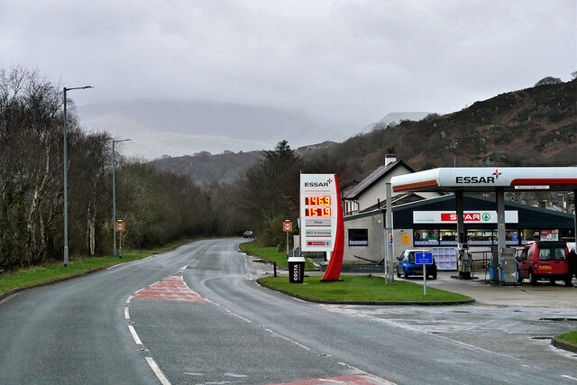
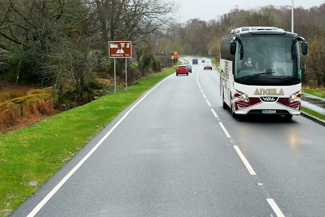
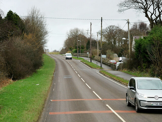
Images are sourced within 2km of 53.14/-4.175 or Grid Reference SH5462. Thanks to Geograph Open Source API. All images are credited.

Below Pen-y-bwlch
Below Pen-y-bwlch
Parc-y-Gleision Standing Stone
Covered Reservoir, Parc-y-Gleision
Connector pylon at the Stabla ESS
Craig Llew from the Clegyr Path These are some of the oldest rocks in Wales. Moel Eilio forms the background.
Craig Llew from the Clegyr Path
These are some of the oldest rocks in Wales. Moel Eilio forms the background.
Wooded wetland below Craig Llew The walls are  the work of early 18thC quarrymen-farmers who carved small holdings from the wastes. This dual economy remained a feature of the slate quarrying districts of Caernarvonshire until the 1960s/
Wooded wetland below Craig Llew
The walls are the work of early 18thC quarrymen-farmers who carved small holdings from the wastes. This dual economy remained a feature of the slate quarrying districts of Caernarvonshire until the 1960s/
Llanrug, Llanberis Road Crossroads in the centre of the village.
Llanrug, Llanberis Road
Crossroads in the centre of the village.
Y Glyntywrog, Llanberis Road The A4086 runs for almost 18 miles between Caernarfon and Capel Curig. It is a popular tourist route as it passes through some of the most memorable and famous parts of Snowdonia including the Llanberis Pass.
Y Glyntywrog, Llanberis Road
The A4086 runs for almost 18 miles between Caernarfon and Capel Curig. It is a popular tourist route as it passes through some of the most memorable and famous parts of Snowdonia including the Llanberis Pass.
London Garage, Maes Gerddi The A4086 runs for almost 18 miles between Caernarfon and Capel Curig. It is a popular tourist route as it passes through some of the most memorable and famous parts of Snowdonia including the Llanberis Pass.
London Garage, Maes Gerddi
The A4086 runs for almost 18 miles between Caernarfon and Capel Curig. It is a popular tourist route as it passes through some of the most memorable and famous parts of Snowdonia including the Llanberis Pass.
Angela's Coach near Llanberis Angela Coaches' VDL Futura coach (R600 ACL) on the A4086 road about one mile outside Llanberis.
Angela's Coach near Llanberis
Angela Coaches' VDL Futura coach (R600 ACL) on the A4086 road about one mile outside Llanberis.
A4244 near Bryn Derw The A4244 is a relatively short (6½ miles) rural A-road in north Caernarfonshire. It connects the A5/A55 (near the Llys-y-gwynt junction) with the A4086 at Brynrefail, just outside Llanberis.
A4244 near Bryn Derw
The A4244 is a relatively short (6½ miles) rural A-road in north Caernarfonshire. It connects the A5/A55 (near the Llys-y-gwynt junction) with the A4086 at Brynrefail, just outside Llanberis.
Llyn Padarn and the Snowdon Massif April evening sunshine on Llyn Padarn and the Snowdon Massif.  
Taken from Pont Pen-y-llyn at the northwestern end of Llyn Padarn; looking along the lake towards Llanberis.
Llyn Padarn and the Snowdon Massif
April evening sunshine on Llyn Padarn and the Snowdon Massif. Taken from Pont Pen-y-llyn at the northwestern end of Llyn Padarn; looking along the lake towards Llanberis.
Old Road Part of the old A.4086 now bypassed near to Llanberis, Gwynedd.
Old Road
Part of the old A.4086 now bypassed near to Llanberis, Gwynedd.
Footpath into the disused railway tunnel near Llyn Padarn The footpath here enters the old railway tunnel.
Footpath into the disused railway tunnel near Llyn Padarn
The footpath here enters the old railway tunnel.
Old bridge at the north end of Llyn Padarn A very good spot to stop and admire the views all around.
Old bridge at the north end of Llyn Padarn
A very good spot to stop and admire the views all around.
View from the north end of Llyn Padarn The plaque acts as a toposcope and carries a poem about the scene.
View from the north end of Llyn Padarn
The plaque acts as a toposcope and carries a poem about the scene.
Pont Pen-Llyn
Pont Pen-Llyn
Brynrefail turnoff from A4244 Just north of river bridge
Brynrefail turnoff from A4244
Just north of river bridge
Show me another place!

Caer Carreg-y-fran is located at Grid Ref: SH5462 (Lat: 53.14, Lng: -4.175)

Unitary Authority: Gwynedd

Police Authority: North Wales

What 3 Words

///purse.starch.absorb. Near Llanrug, Gwynedd

Related Wikis

Bryn Bras Castle

Bryn Bras Castle is a Grade II* listed country house located on the old road between Llanrug and Llanberis in Caernarfon, Gwynedd. The house, which remains...

Cwm-y-glo

Cwm-y-glo is a small village in Wales, 4+1⁄2 miles (7 km) east of Caernarfon, between Llanberis and Llanrug. It is in the Arfon Parliamentary constituency...
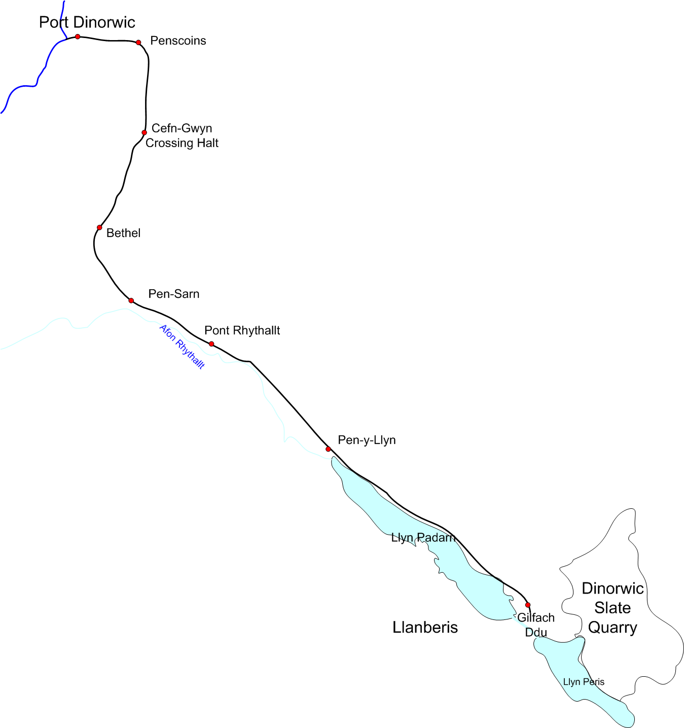
Padarn Railway

The Padarn Railway was a narrow-gauge railway in North Wales, built to the unusual gauge of 4 ft (1,219 mm). It carried slate seven miles (11 km) from...

Cwm-y-Glo railway station

Cwm-y-Glo railway station served the village of Cwm-y-glo, Gwynedd, Wales, at the north-west end of Llyn Padarn. The station was closed for regular passenger...

Afon Rhythallt

The River Rhythallt (Welsh: Afon Rhythallt) is a river in Gwynedd, North Wales whose source is Llyn Padarn. It flows in a northwesterly direction past...

Pontrhythallt railway station

Pontrhythallt was a railway station in the village of Pont Rhythallt, Gwynedd, Wales. This station opened in 1869 and closed for regular passenger services...
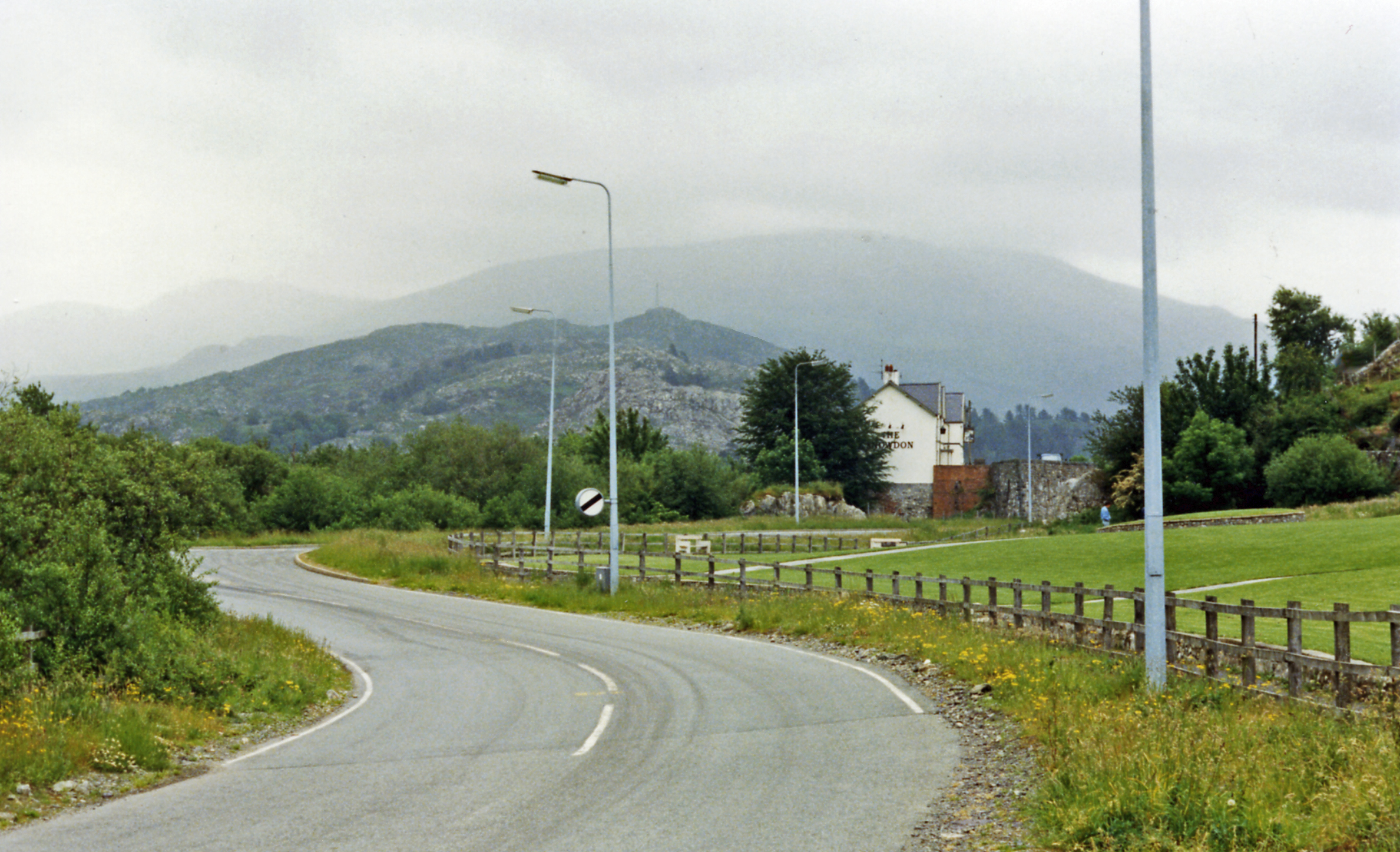
Brynrefail, Gwynedd

Brynrefail () is a small village in Gwynedd, Wales which straddles the A4244 road roughly between Deiniolen and Llanberis. The village is in the Arfon...
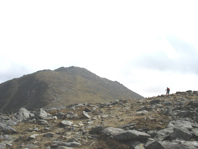
Y Fronllwyd

Y Fronllwyd, also known as Carnedd y Filiast North Top, is a top of Carnedd y Filiast in Snowdonia, Wales forming part of the Glyderau. It is the northern...

Nearby Amenities

Located within 500m of 53.14,-4.175
Barrier: kissing_gate
Lat/Long: 53.1380293/-4.169679
Barrier: lift_gate
Lat/Long: 53.1382387/-4.1778119
Grit Bin
Lat/Long: 53.1408105/-4.1700343
Frequency: 50
Power: transformer
Lat/Long: 53.1398516/-4.170501
Power: pole
Lat/Long: 53.1413197/-4.1699204
Power: pole
Lat/Long: 53.1406569/-4.1696522
Power: pole
Lat/Long: 53.1399677/-4.1693704
Power: pole
Lat/Long: 53.1419094/-4.1809443
Power: pole
Lat/Long: 53.1411065/-4.1804239
Power: pole
Lat/Long: 53.1411758/-4.1821965
Power: pole
Lat/Long: 53.1405715/-4.1800431
Power: pole
Lat/Long: 53.1407381/-4.1818776
Power: pole
Lat/Long: 53.1414275/-4.1816147
Barrier: stile
Bicycle: no
Foot: yes
Horse: no
Motor Vehicle: no
Lat/Long: 53.1415011/-4.1754802
Barrier: stile
Lat/Long: 53.1414234/-4.1781763
Barrier: stile
Bicycle: no
Foot: yes
Horse: no
Motor Vehicle: no
Lat/Long: 53.1420056/-4.1791916
Power: pole
Lat/Long: 53.139101/-4.168751
Power: pole
Lat/Long: 53.1398966/-4.1700631
Building: tower
Lat/Long: 53.1386621/-4.1760479
Barrier: lift_gate
Lat/Long: 53.1386318/-4.1781436
Ty Canol
Building: yes
Lat/Long: 53.1405426/-4.1721924
Barrier: stile
Bicycle: no
Foot: yes
Horse: no
Motor Vehicle: no
Lat/Long: 53.1414357/-4.1782184
Addr Housenumber: 1
Building: yes
Lat/Long: 53.1410643/-4.1688447
Addr Housenumber: 2
Building: yes
Lat/Long: 53.141016/-4.1687294
Addr Housenumber: 3
Building: yes
Lat/Long: 53.1409613/-4.1686141
Bryn Hyfryd Terrace
Building: yes
Lat/Long: 53.1401455/-4.1704225
Grit Bin
Lat/Long: 53.1395928/-4.1705804
Man Made: monitoring_station
Monitoring Seismic Activity: yes
Lat/Long: 53.1402044/-4.1704034
Man Made: water_well
Lat/Long: 53.1391492/-4.1708405
Man Made: water_well
Lat/Long: 53.1411106/-4.1711946
Man Made: water_well
Pump: no
Lat/Long: 53.1409118/-4.1740778
Barrier: kissing_gate
Lat/Long: 53.1402457/-4.1822076
The data included in this document is from www.openstreetmap.org. The data is made available under ODbL.

Have you been to Caer Carreg-y-fran?

Leave your review of Caer Carreg-y-fran below (or comments, questions and feedback).